


By clicking "ACCEPT", you agree to be the terms and conditions of each policy linked to above. You also agree to the storing of cookies on your device to facilitate the operation and functionality of our site, enhance and customize your user experience, and to analyze how our site is used.
Virginia Off-Road Trails
11
Total Trail Guides 6

156
Detailed Waypoints 45
Try a Free 7-Day Trial and unlock it all
Start a Free Trial Most Recent Trail Reviews
No Rating
Open
Visited: 09/08/2026
Although you can do it stock in a JKU, I would not try it again without skids or a 3" lift and 35-37s. Some stock rigs sit higher and are up for it. I liked the diversity quite a bit. Going downhill ...

CB
Christopher Bennett
No Rating
Open
Visited: 09/08/2026
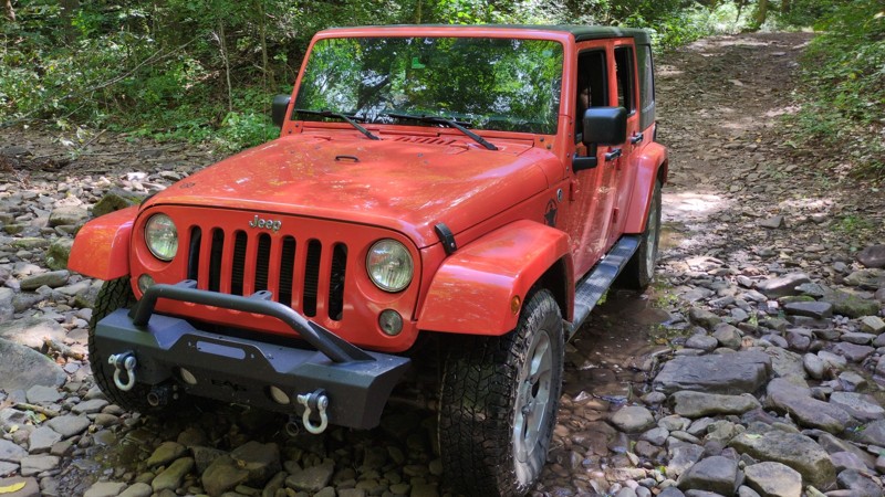
Solid family trail in a mostly stock JKU on 33's. Aired down to 16. Tried Stone camp next for a while at the trail end but no skids on 33s all alone decided to turn around and go back the way we came...
CB
Christopher Bennett
No Rating
Open
Visited: 08/11/2026
Per the MVUM, the trail is seasonally open. As always, check current fire restrictions/closures before venturing out.

Trails Offroad
No Rating
Open
Visited: 08/11/2026
Per the MVUM, the trail is seasonally open. As always, check current fire restrictions/closures before venturing out.
Trails Offroad
No Rating
Open
Visited: 08/11/2026
Per the MVUM, the trail is seasonally open. As always, check current fire restrictions/closures before venturing out.
Trails Offroad
No Rating
Open
Visited: 08/11/2026
Per the MVUM, the trail is seasonally open. As always, check current fire restrictions/closures before venturing out.
Trails Offroad
No Rating
Open
Visited: 08/11/2026
Per the MVUM, the trail is seasonally open. As always, check current fire restrictions/closures before venturing out.
Trails Offroad
No Rating
Open
Visited: 08/11/2026
Per the MVUM, the trail is seasonally open. As always, check current fire restrictions/closures before venturing out.
Trails Offroad
No Rating
Open
Visited: 08/11/2026
Per the MVUM, the trail is seasonally open. As always, check current fire restrictions/closures before venturing out.
Trails Offroad
No Rating
Open
Visited: 08/11/2026
Per the MVUM, the trail is seasonally open. As always, check current fire restrictions/closures before venturing out.
Trails Offroad
No Rating
Open
Visited: 08/11/2026
Per the MVUM, the trail is seasonally open. As always, check current fire restrictions/closures before venturing out.
Trails Offroad
No Rating
Open
Visited: 08/11/2026
Per the MVUM, the trail is seasonally open. As always, check current fire restrictions/closures before venturing out.
Trails Offroad
No Rating
Open
Visited: 08/11/2026
Per the MVUM, the trail is seasonally open. As always, check current fire restrictions/closures before venturing out.
Trails Offroad
No Rating
Open
Visited: 08/11/2026
Per the MVUM, the trail is seasonally open. As always, check current fire restrictions/closures before venturing out.
Trails Offroad
No Rating
Temporary Closure
Visited: 08/04/2026
Unknown as to when the road will be passable again.

Todd
Official Crew
Open
Visited: 08/01/2026
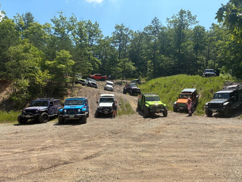
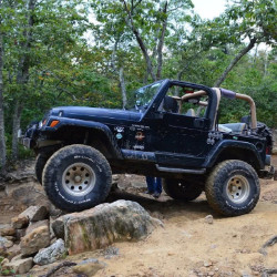
One of my favorite trails. I lead a group of 8 Jeeps up. Jeeps ranged from stock Sport 4dr, a Gladiator with 3" lift and 37s, small lifted 4dr on 35, 2dr JL, TJ on 33s, and my TJ on 35s and 6" long ar...
Ron Ferguson
Rated 3/5
Open
Visited: 07/26/2026
This was my first “real” Offroad trail with my stock 2023 JK. Went about 3/4 of the way down the trail in 2H, until it got so rocky that I needed the extra “ooomph” from 4H. The trail was fairly easy-...

Liz Nelms
Rated 3/5
Open
Visited: 07/21/2026
After reading the trail description and looking at the map, I was anticipating a bunch of fun water crossings, but no dice -- all the crossing have bridges. Still a pleasant trail, and saw more butter...
K
Kathleen
Rated 3/5
Open
Visited: 07/21/2026
Chill gravel road that follows the ridgeline. Lots of butterflies and wildflowers mid-summer! There were some nice campsites along the way, but not as many as some other nearby trails. Views from the ...
K
Kathleen
No Rating
Partially Open
Visited: 07/11/2026
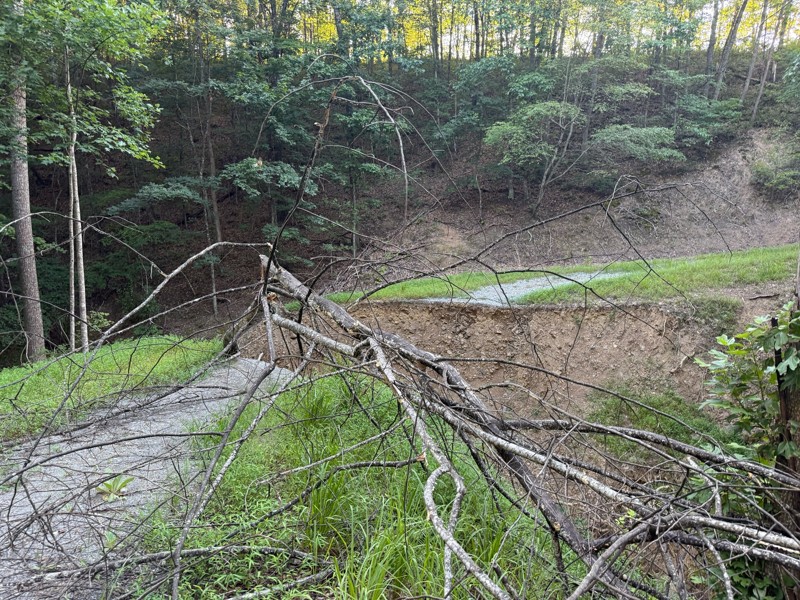
Tree down blocking road between waypoint 14 & 15.
AH
Angela Harris
No Rating
Open
Visited: 06/26/2026
According to MVUM data, this trail should be open for the season.
Trails Offroad
Rated 5/5
Open
Visited: 06/13/2026
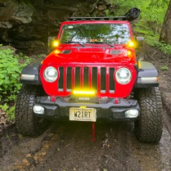
This is a wonderful trail that was unexpectedly challenging in spots. I ran this in the opposite direction from the description above since I was driving the northernmost portion of the Virginia Adven...
Peter Dougherty
K
Kkk15kkk
GL
Getting Lost
Rated 5/5
Open
Visited: 05/26/2026
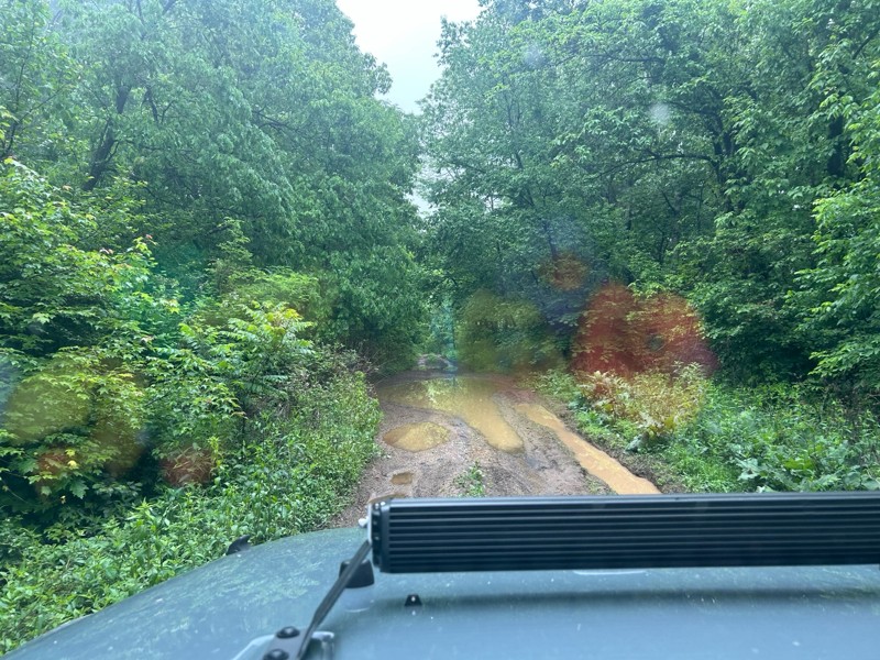
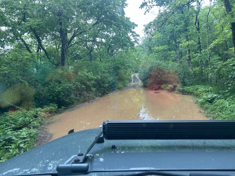
Fun, relaxing trail. Was running solo so I didn’t try the difficult trail. Had rained quite a bit so the water holes were full. Went primarily as a birding trip. Covered Potts Mtn, Peaceful Valley...
B
Brent
Rated 5/5
Open
Visited: 04/14/2026
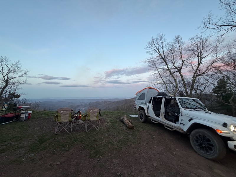
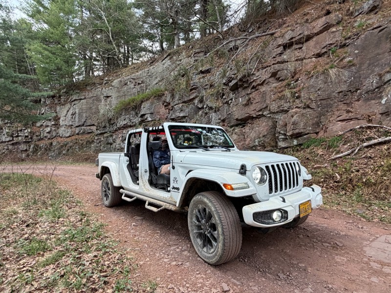
Absolutely fun experience. Just after doing the Peter Mill Run we decided to the Long Run Road and we loved it very beautiful, great camping spots and very fun off roading.
MB
Manuel Barreto
LV
Luis Vega
No Rating
Open
Visited: 04/02/2026
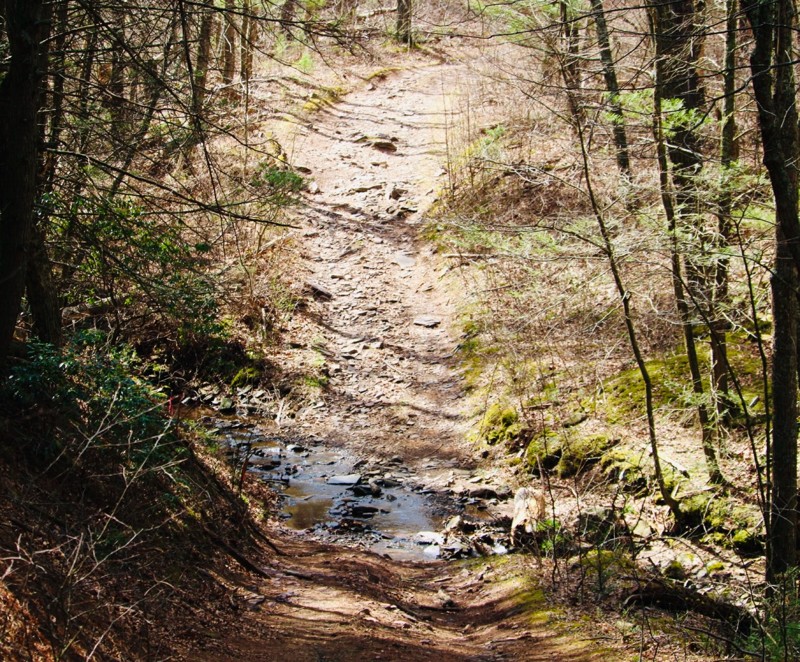
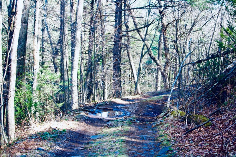
Nice trail with some moderate challenges and inclines.
NJ
Neil Johnson
NJ
Neil Johnson
Rated 5/5
Open
Visited: 02/14/2026
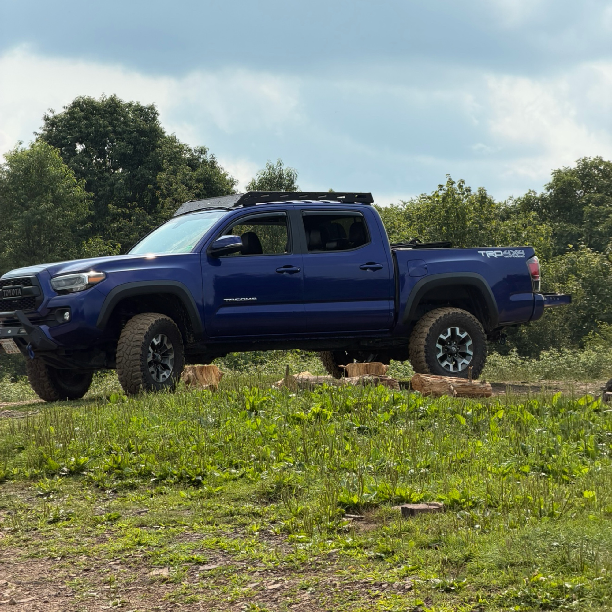
Easy ride. Views are obstructed but only because of the trees.
Kevin Garrett
Rated 5/5
Open
Visited: 02/07/2026
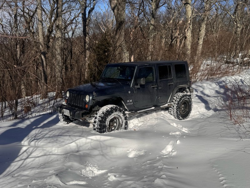
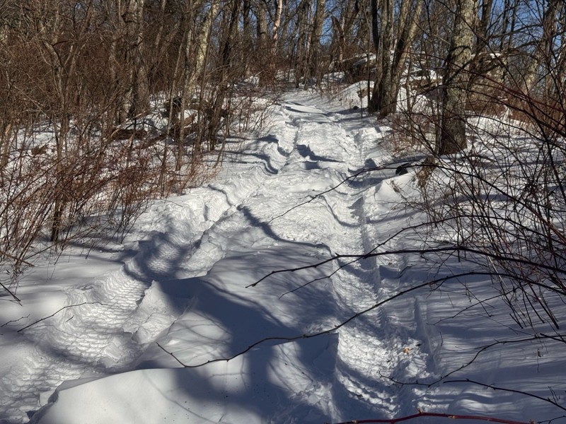
Snow , ice , and drift all the way to flagpole knob . With my tires and lockers the trail was fairly easy . Just took my time . But hidden danger was sleet piles on the trail . Some piles were 6’ hig...
RB
Robert Bryant
No Rating
Open
Visited: 01/17/2026
Was a fun trail... breaking through the ice in my new to me zr2 was awesome! Highly reccommend.
JB
Jason Braswell
No Rating
Seasonal Closure
Visited: 01/15/2026
According to this trails management agency, the trail is likely closed for the season.
You can reach out to the agency for more details.
Be sure to leave us a report and let us know ...
Trails Offroad
No Rating
Seasonal Closure
Visited: 01/15/2026
According to this trails management agency, the trail is likely closed for the season.
You can reach out to the agency for more details.
Be sure to leave us a report and let us know ...
Trails Offroad
No Rating
Seasonal Closure
Visited: 01/15/2026
According to this trails management agency, the trail is likely closed for the season.
You can reach out to the agency for more details.
Be sure to leave us a report and let us know ...
Trails Offroad
No Rating
Seasonal Closure
Visited: 01/15/2026
According to this trails management agency, the trail is likely closed for the season.
You can reach out to the agency for more details.
Be sure to leave us a report and let us know ...
Trails Offroad
No Rating
Seasonal Closure
Visited: 01/10/2026
According to this trails management agency, the trail is likely closed for the season.
You can reach out to the agency for more details.
Be sure to leave us a report and let us know ...
Trails Offroad
No Rating
Seasonal Closure
Visited: 01/10/2026
According to this trails management agency, the trail is likely closed for the season.
You can reach out to the agency for more details.
Be sure to leave us a report and let us know ...
Trails Offroad
No Rating
Seasonal Closure
Visited: 01/10/2026
According to this trails management agency, the trail is likely closed for the season.
You can reach out to the agency for more details.
Be sure to leave us a report and let us know ...
Trails Offroad
No Rating
Seasonal Closure
Visited: 01/10/2026
According to this trails management agency, the trail is likely closed for the season.
You can reach out to the agency for more details.
Be sure to leave us a report and let us know ...
Trails Offroad
No Rating
Seasonal Closure
Visited: 01/10/2026
According to this trails management agency, the trail is likely closed for the season.
You can reach out to the agency for more details.
Be sure to leave us a report and let us know ...
Trails Offroad
Seasonal Closure
Visited: 01/10/2026
According to this trails management agency, the trail is likely closed for the season.
You can reach out to the agency for more details.
Be sure to leave us a report and let us know ...
Trails Offroad
No Rating
Seasonal Closure
Visited: 01/07/2026
According to this trails management agency, the trail is likely closed for the season.
You can reach out to the agency for more details.
Be sure to leave us a report and let us know ...
Trails Offroad
No Rating
Seasonal Closure
Visited: 01/04/2026
According to this trails management agency, the trail is likely closed for the season.
You can reach out to the agency for more details.
Be sure to leave us a report and let us know ...
Trails Offroad
No Rating
Seasonal Closure
Visited: 01/04/2026
According to this trails management agency, the trail is likely closed for the season.
You can reach out to the agency for more details.
Be sure to leave us a report and let us know ...
Trails Offroad
No Rating
Seasonal Closure
Visited: 01/04/2026
According to this trails management agency, the trail is likely closed for the season.
You can reach out to the agency for more details.
Be sure to leave us a report and let us know ...
Trails Offroad
No Rating
Seasonal Closure
Visited: 01/04/2026
According to this trails management agency, the trail is likely closed for the season.
You can reach out to the agency for more details.
Be sure to leave us a report and let us know ...
Trails Offroad
No Rating
Open
Visited: 12/31/2025
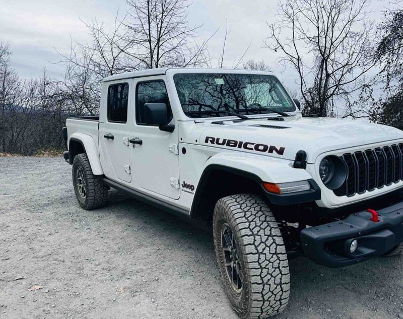
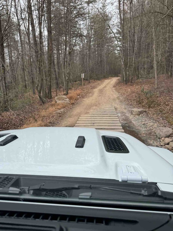
No one out there today. Trail was dry and very rocky. Air down for a nicer trip . Went south to north and beautiful vista at end in Woodstock .
NJ
Neil Johnson
Most Popular

Updated: 08/11/2026
Wildlife
Abbott, Virginia
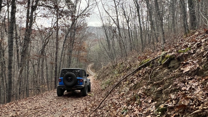
Wildlife is a hardpacked dirt and gravel road that gently rolls through the forest. It is an unassuming road with no remarkable features, yet it is a pleasant drive. Anticipate potholes and a water crossing or two. No camping opportunities were spotted.
Updated: 06/15/2026
Potts Mountain Road
Potts Creek, Virginia
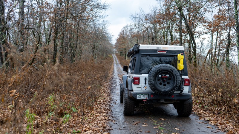
Potts Mountain Road runs along the ridge of Potts Mountain and is a great connector trail from the paved route 311 after running Potts Mountain Jeep Trail or for taking a gentle stroll through the mountains when connected with Sweet Springs Turnpike. The road is hard-packed gravel and dirt and only offers views when around the two cell towers or when the trees are bare. Be advised there is a patch of private property in the southern to middle end of the road. As you drive, you will notice most of the tree bark and granite boulders are covered in green lichen, indicating plenty of shade and moisture year-round. One pre-existing campsite was found facing east. Anticipate hard bottom water/mud holes and potholes. Suitable for any high clearance vehicle.
Updated: 10/15/2024
Peaceful Valley East
Paint Bank, Virginia
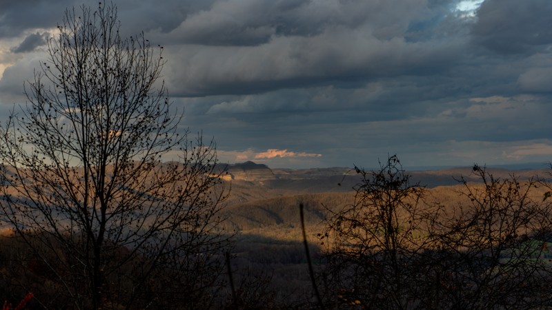
Peaceful Valley East is part of a network of trails in this area where you can spend all day just being mellow, or you can mix it up and in the more intense Potts Mountain Jeep Trail. Of the mellow roads, this one does provide varied views of rocks, pastures, and distant landscapes. The road is also suitable for dispersed camping, with a few locations along the way.
Updated: 08/11/2026
Hone Quarry
Briery Branch, Virginia
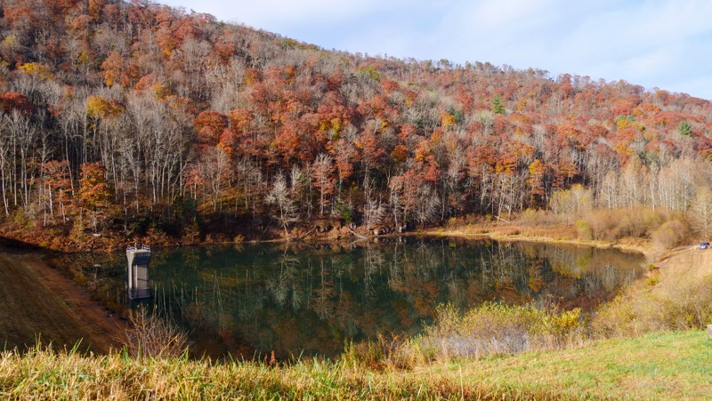
Hone Quarry is an out-and-back trail with ridges on both sides that takes you up Hone Quarry Run. During times of high water flow, this trail could be impassable. There are ample hiking opportunities off this trail. Camping is available in Hone Quarry Campground just below the start of this trail and dispersed camping along the trail. Hone Quarry is a nice trail for beginners, campers, or someone who wants to get out and see the foliage changing colors in the Autumn.
Updated: 09/14/2026
Dolly Anne
Ashwood, Virginia
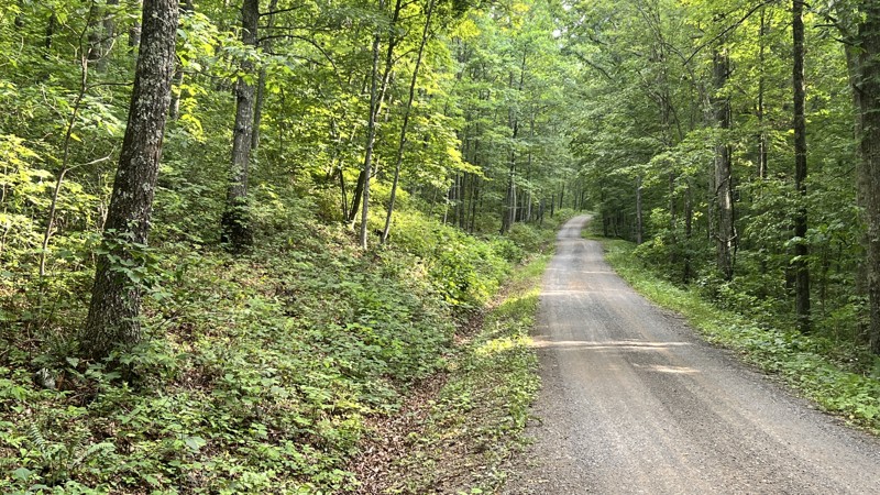
Stretching nearly 20 miles from the town of Covington, Dolly Anne travels through the George Washington National Forest and is part of one of the longer backcountry discovery routes. Towards the middle, the route briefly shares the paved Sulphur Springs Road, but it is gravel with no obstacles for almost all of it. There are several campsites scattered throughout the length of the trail.
Updated: 12/24/2025
Big Piney
Alto, Virginia
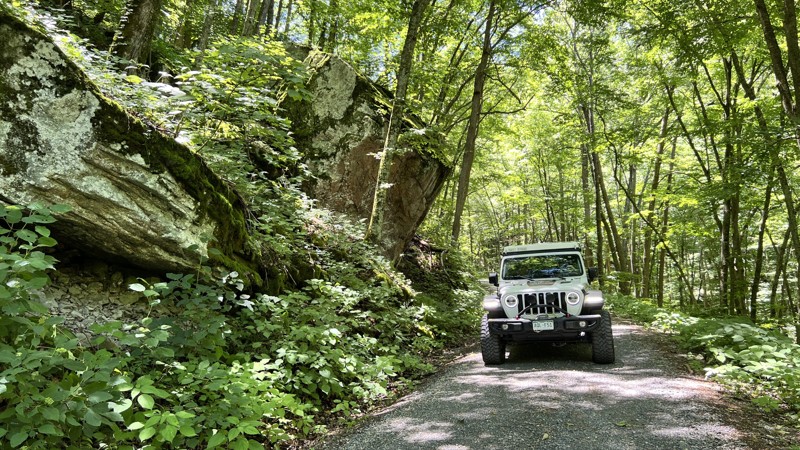
Big Piney is a well-maintained gravel road that follows alongside the Childress Branch and South Fork Piney River. From where it crosses the Appalachian Trail, the eastern portion of the road is scenic as it follows the moss-covered waterways. This section includes roughly ten dispersed campsites, well spread out in the distance and each sizeable for two vehicles and two tents.
Updated: 08/11/2026
Vepco Road
Yankeetown, Virginia
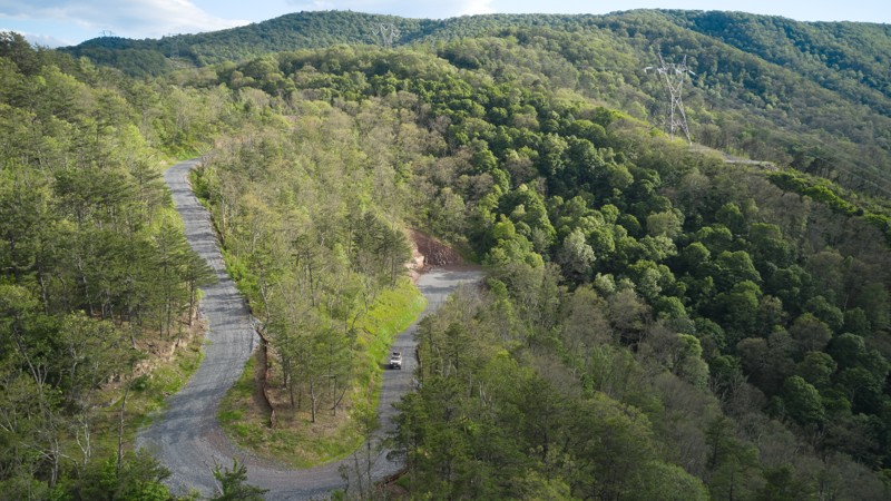
Vepco Road is a well-packed gravel road that provides quick access to Long Run Road. Driving up Vepco Forest Road and down the east side of Long Run Road is an easy way to view the majesty of this section of the George Washinton National Forest without needing a four-wheel drive vehicle. As long as you don't mind powerlines, the views are spectacular.
Updated: 10/15/2024
Mud Lick
Maggie, Virginia
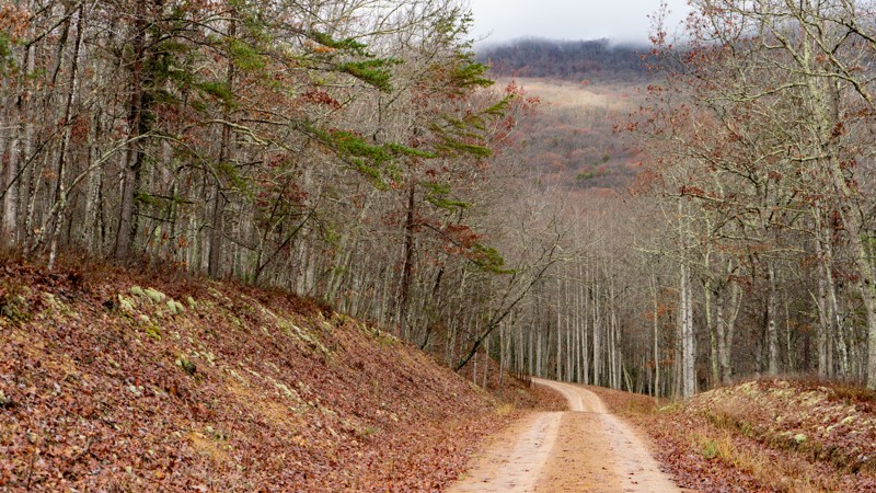
Mud Lick is a gravel road without any mud! It is lined with rhododendron and single lane most of the way. On the south end, there are spots off the road to camp. Very popular hunting area.
Updated: 09/29/2025
Sweet Springs Turnpike
Marshalltown, Virginia
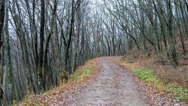
When you see the word "Turnpike" in a trail name, you know it has a historic background. However, little information is available on this particular turnpike. As well, when you think turnpike, you are most likely thinking concrete or pavement. Not so here. This road is a mix of hardpacked dirt, gravel, and protruding rock. The west side has several wider switchbacks before it eventually terminates in private land. Dispersed camping is limited, but there is camping at the Pines Campground on the east side off Highway 617. This road also serves as the major exit after you have run Potts Mountain Jeep Trail.
Updated: 01/06/2026
Crabtree Meadows
Montebello, Virginia
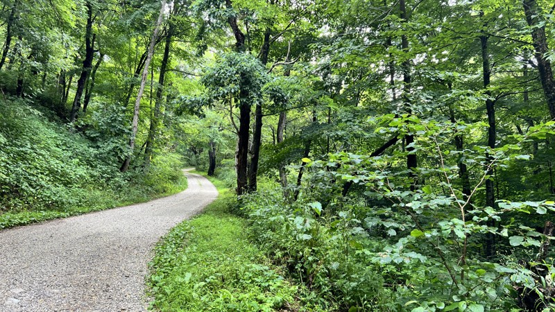
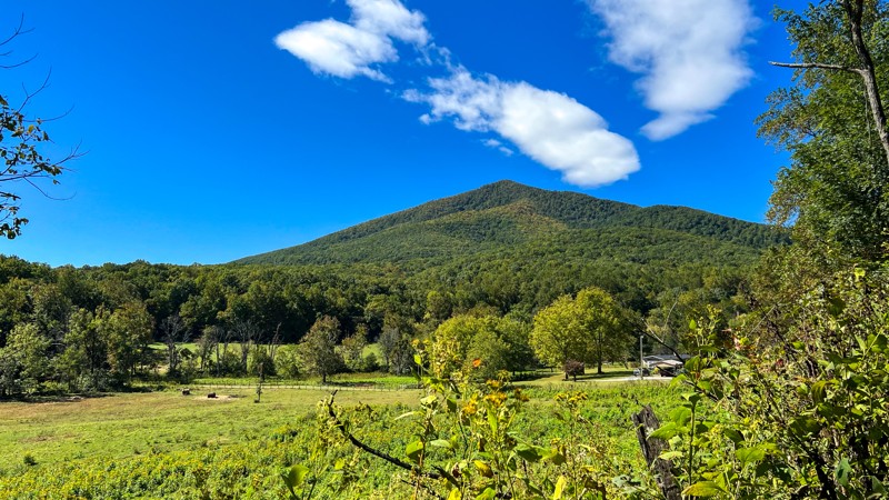
Crabtree Meadows, also called Crabtree Falls, leads to the hiking trailhead parking lot for Crabtree Falls and joins the partially open Shoe Creek trail. At the parking lot, there is a vault toilet. The hike to the fall is 2.9 miles one-way. The road is entirely maintained gravel except where runoff occurs, where larger golf-ball to baseball-sized rocks can be present. With foliage, the views are minimal, but the trail does have five well-hidden campsites from the road, with a few more directly roadside that you can walk into. It is suitable for any high-clearance vehicle.
Updated: 10/15/2024
Battery Creek
Big Island, Virginia
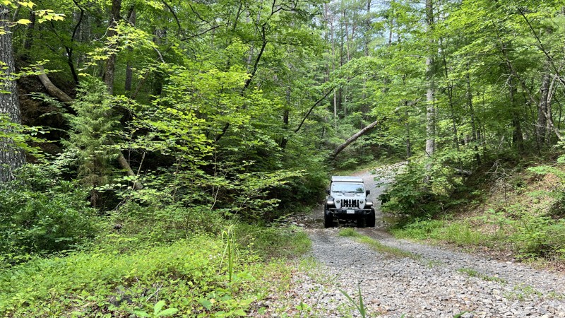
While the MVUM calls this a trail, an avid wheeler might call this an access road. Any 2WD or AWD vehicle will have no troubles on this trail. If a leisurely Sunday drive is your thing, this might be a good trail for you. There is no camping along the way.
Updated: 08/11/2026
Patterson Creek
Marshalltown, Virginia
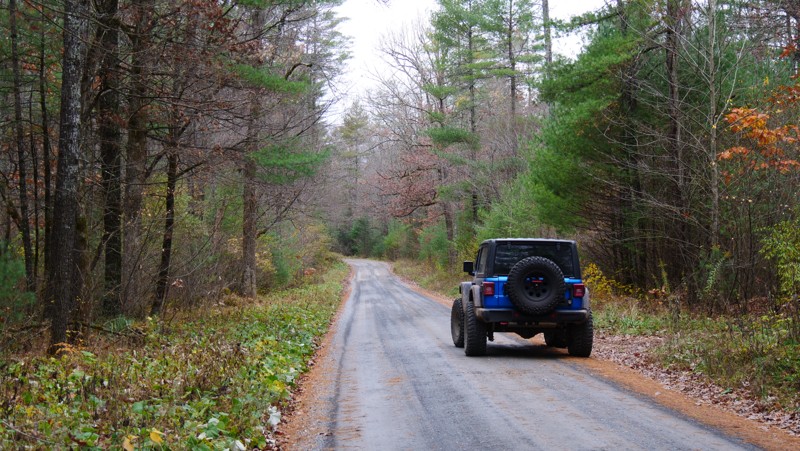
Patterson Creek is a gravel road running alongside its namesake. It has roughly a dozen well-spaced dispersed campsites large enough for a few vehicles each. The road is entirely under a tree canopy and provides cooler temperatures in the summer. There are several creek crossings, mostly under one foot in depth, and a hard bottom during dry weather, but they can be much deeper during heavy rain events.
Updated: 07/27/2026
Shoe Creek North
Nash, Virginia
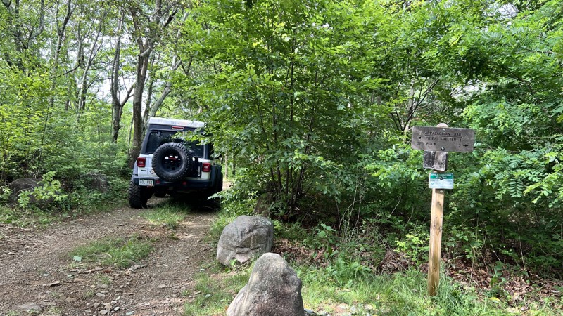
A sign at the start of the trail informs visitors that Shoe Creek is being evaluated for closure to protect headwater trout water, unique habitats, adjacent Wilderness character, the Appalachian Scenic Trail, and newly found Federally Endangered Species. The Forest Service's own maps depict the road traveling straight through and much further. However, a gate makes this a short out-and-back trail. It does cross the Appalachian Trail and has one campsite. The road is rough with ledges and basketball-sized rocks, requiring clearance and four-wheel drive.
Updated: 10/15/2024
Calf Pasture
West Augusta, Virginia
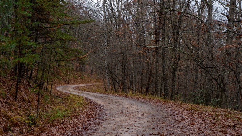
Calf Pasture serves as a quick exit from the forest and back to the pavement. It isn't very interesting compared to all the other great roads in the area. No camping was spotted.
Updated: 10/15/2024
Peaceful Valley West
Laurel Branch, Virginia
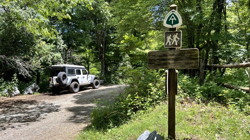
Peaceful Valley West is a gravel and hardpacked dirt road with a 21-day camping limit. Although there is not a whole bunch of camping, what there is, is very prime with large sites. The road is mostly one lane wide and has places to pull over if needed. About 3/4 of the way in, you will also find a short waterfall on the side of the road.
Updated: 08/11/2026
Hog Camp
Alto, Virginia
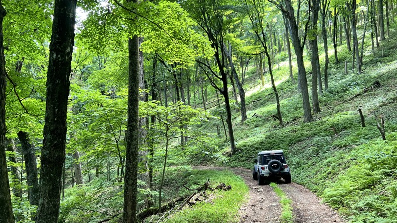
Hog camp is a wide gravel road that crosses the Appalachian Trail and connects to several other roads in the area. With foliage, the views are limited. When traveling west to east, the road turns from a wide, well-maintained gravel road to a narrower, rougher road shortly after it crosses the AT, but it is still suitable for any high clearance vehicle. The short spur, FR 51, leads to additional hiking routes. Over its span, there are only a few dispersed campsites.
Updated: 08/11/2026
Cow Camp
Willow, Virginia
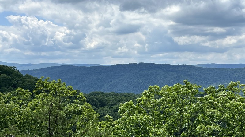
Cow Camp starts at a picnic table area at the Lexington Turnpike and is directly next to the Appalachian Trail. The road can be traveled in either direction, but traveling uphill is preferred. The road is rougher than its neighboring trails, starting as hardpacked native soil mixed with rocks and getting rockier and more eroded as you climb in elevation. It is mostly one vehicle width wide with little passing. Anticipate pinstriping. While the road is non-technical, drivers may wish to use four-wheel drive with low gearing on the steeper grades. No dispersed camping is found along the trail.
Updated: 10/15/2024
Sugar Tree
Williamsville, Virginia
Sugar Tree is an exceptionally wide road compared to other roads in the area. The width provides a nice break through the trees to view the mountain range you are driving in. There are no obstacles, and the road is suitable for any high-clearance vehicle. While there are a few dispersed camping sites, most are directly on the side of the road, providing little privacy.
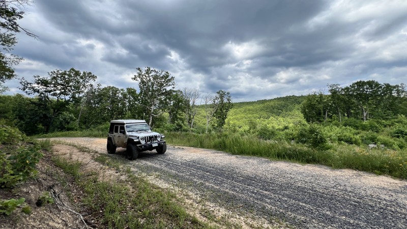
Updated: 10/15/2024
Limekiln
Bath Alum, Virginia
Limekiln is a straight-through, mild gravel road that is suitable for any high-clearance vehicle. There is plenty of clear-cutting evidence that does provide for views as you drive it. There is also evidence of either prescribed burns or forest fires. There is one small dispersed campsite.
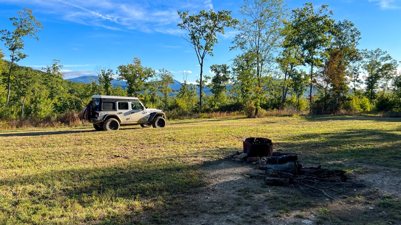
Updated: 10/15/2024
Lovelady
Allwood, Virginia
If you are looking for a nice place to camp with great views and a big enough spot for a large group of people or maybe just a few large rigs, this trail will fit the bill. AWD cars will have no issues on this trail, or if you are brave, you might be able to get a fifth-wheel trailer back here and have a nice piece of George Washington National Forest all to yourself.
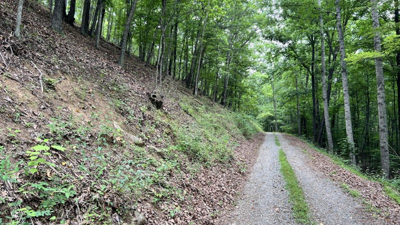
Updated: 09/10/2026
Kelly Hollow
Howell Mills, Virginia
Kelly Hollow is a quick out-and-back jaunt that leads to a dead end. At the beginning, there is a parking setup where bicyclists and hikers can use the road. Drive with care and share the road. There is one minor creek crossing at which one dispersed campsite exists.
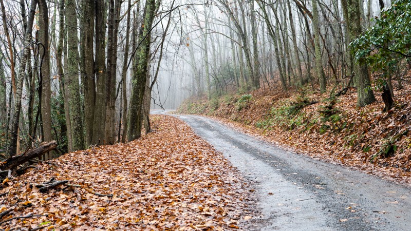
Updated: 10/15/2024
Limestone Hill and Rocky Gap
Waiteville, Virginia
A beautiful road lined with rhododendron and packed full of twists and turns used as one of the longer overland routes in the area. No camping along this private land route.
Updated: 01/31/2025
Piney Mountain
Shiloh, Virginia
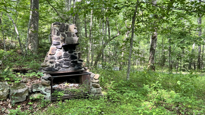
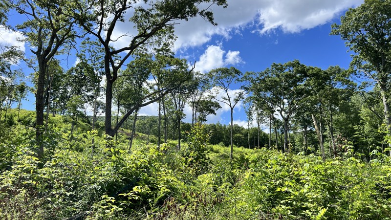
At the northern end, an old stone chimney greets you at the start of the trail. The road winds its way along the lower portions of Big Piney Mountain, Black Rock, and Middle Knob. It is mostly gravel, and the rocks can become baseball to softball-sized, where it crosses any runoff. The road is suitable for any high-clearance vehicle. It dead ends at private property, but you can take Hester on its southern end to return to the pavement. A handful of dispersed camping sites can be found along the trail, and they are large enough to accommodate one to two vehicles.
Updated: 09/30/2025
Greasy Springs
Alto, Virginia
Greasy Springs is an out-and-back trail that crosses the Appalachian Trail and ends at a clearing. Most of the road is hard-packed gravel, with a few spots of protruding rock. It is suitable for any high-clearance vehicle. A limited number of predisturbed campsites exist on the route but are very difficult to find.

Upgrade your Membership
Unlock all of the details on every Trail Guide and Scout Route.
Start a 7-day Free TrialCommunity
Partners

