


By clicking "ACCEPT", you agree to be the terms and conditions of each policy linked to above. You also agree to the storing of cookies on your device to facilitate the operation and functionality of our site, enhance and customize your user experience, and to analyze how our site is used.
Oklahoma Off-Road Trails
4
Total Trail Guides 3

42
Detailed Waypoints 30
Try a Free 7-Day Trial and unlock it all
Start a Free Trial Most Recent Trail Reviews
Rated 4/5
Open
Visited: 05/23/2026
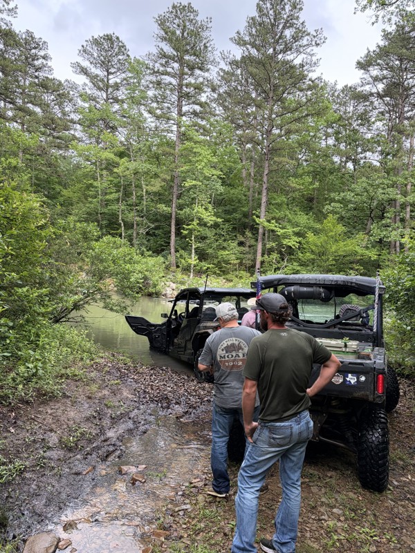
We ended up parking at CJ Corner Store to unload and ride, since could never find a clearly marked entrance. It had poured rain the night before so most of the trail we took was covered with water. L...

Jessica M
Rated 5/5
Open
Visited: 04/24/2026
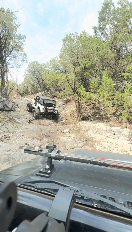
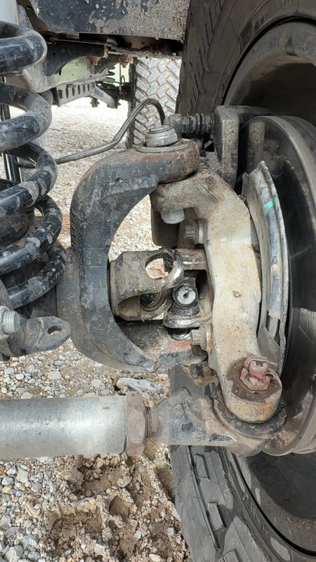
Fun trail really slippery, especially after it rains I did break a U-Joint definitely need lockers and at least 37’s. good rocks sliders and skid plates helps
DD
Dayton Daniel
Rated 5/5
Open
Visited: 12/20/2025
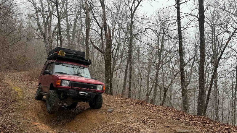
It’s getting more and more washed out and the difficulty is rated at three. But in all honesty it’s more of a 4 difficulty do to the washouts and rocks that’s becoming more exposed.

Jason Clatt
Official Crew
No Rating
Open
Visited: 12/20/2025
Great trail. If you run it clockwise, there are a couple 30+ inch walls/steps that will test your vehicle capability . Driving a gladiator on 35s I hit my skids/rock rails breaking over on the 2nd ...
Kevin
No Rating
Open
Visited: 12/20/2025
Starting at the southern end near the camping area/cabin, the route is pretty easy. But once you get to the crossroad the route gets considerably more challenging. Offering some really fun roller c...
Kevin
Rated 5/5
Open
Visited: 10/28/2025
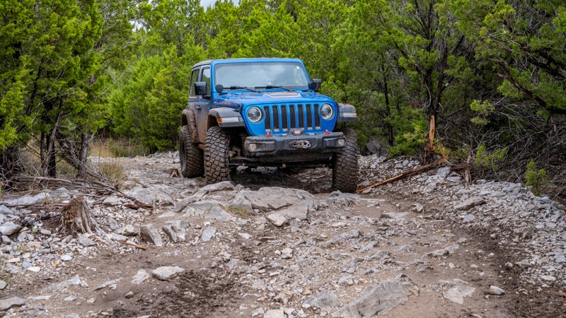
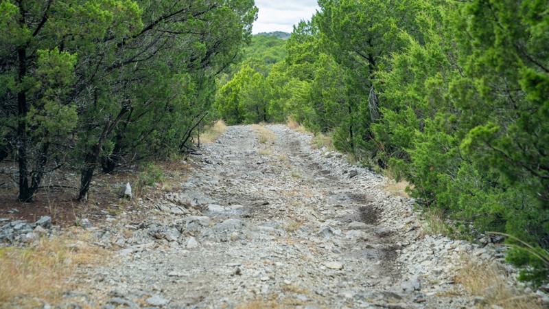
If running Loretta lane in both directions, be sure to do this one, one of the directions. It is basically the same as Loretta Lane and has a few flexy areas. It's not hard, and I actually would say i...

Ryan Boudreau
Official Crew
Rated 5/5
Open
Visited: 10/28/2025
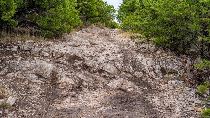
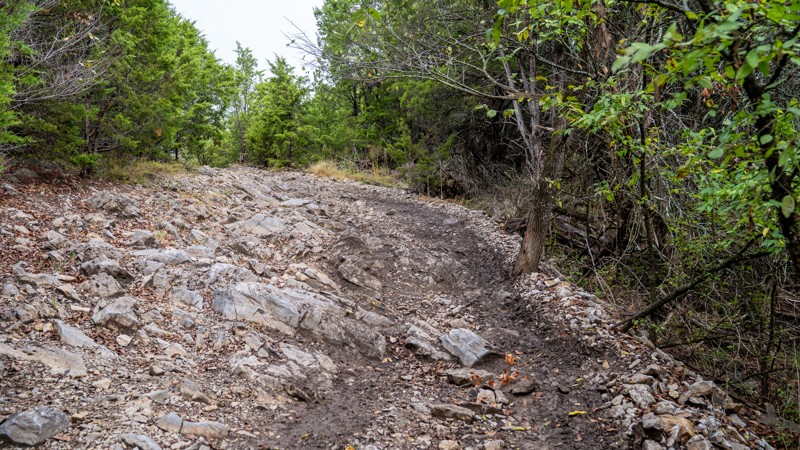
Good trail that is rocky throughout. Nothing overly technical, but you do need to pick your line wisely and pay attention at certain points.
Ryan Boudreau
Official Crew
Rated 3/5
Open
Visited: 10/28/2025
Not difficult at all, but continuously bumpy I felt. Navigation can be tricky since there are several branching roads, but as long as you continue in a northerly direction, you'll easily find your way...


Ryan Boudreau
Official Crew
Ryan Boudreau
Official Crew
Rated 3/5
Open
Visited: 10/28/2025
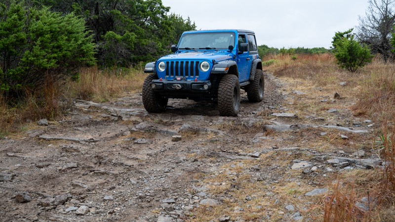
The trail is not all that exciting, but there is a cool factor to feeling like you are on a safari and are about to see a lion or elephant at any time. Besides a few gotcha rocks hiding in the thick g...

Ryan Boudreau
Official Crew
Rated 4/5
Open
Visited: 10/28/2025
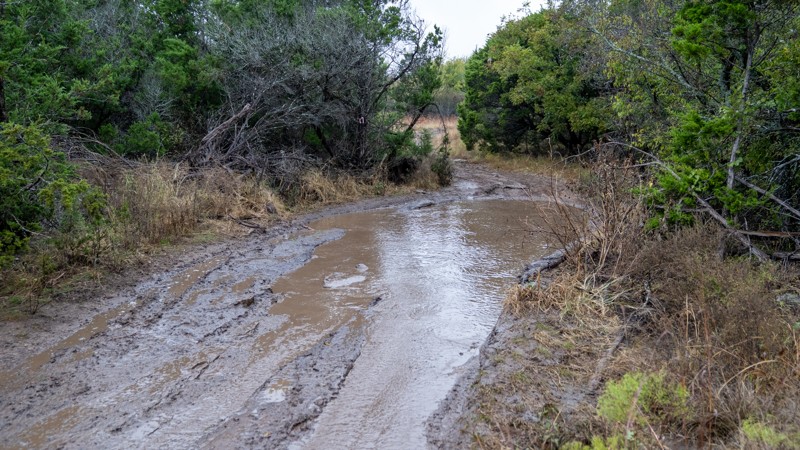
This is by no means a great trail, but it is indeed a more fun route to get to Turner Falls vs Sooner Express. The mud is not overly deep or soft, but there are bypasses for most of them if you want t...

Ryan Boudreau
Official Crew
Rated 4/5
Open
Visited: 10/28/2025
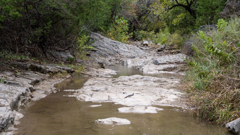
Pictures can't do this trail justice. The hills are impressively steep and daunting to see in person. The slab on the backside of the main obstacle and the bypass, is crazy slick with a bunch of downe...

Ryan Boudreau
Official Crew
Rated 5/5
Open
Visited: 10/27/2025
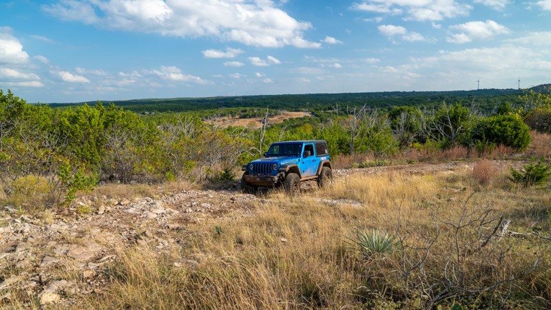
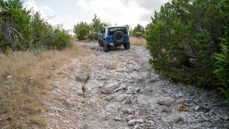
It's a nice, scenic beginner loop that allows you to try your hand at different lines along rock face, or just bypass it a together.
Ryan Boudreau
Official Crew
Rated 5/5
Open
Visited: 10/27/2025
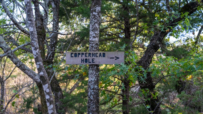
I enjoyed this short trail. The mud isn't too thick and deep, but the trail is tight. I'm sure after a lot of heavy rain the holes might get deep just based off the depth of the ruts we saw.

Ryan Boudreau
Official Crew
Rated 4/5
Open
Visited: 10/27/2025
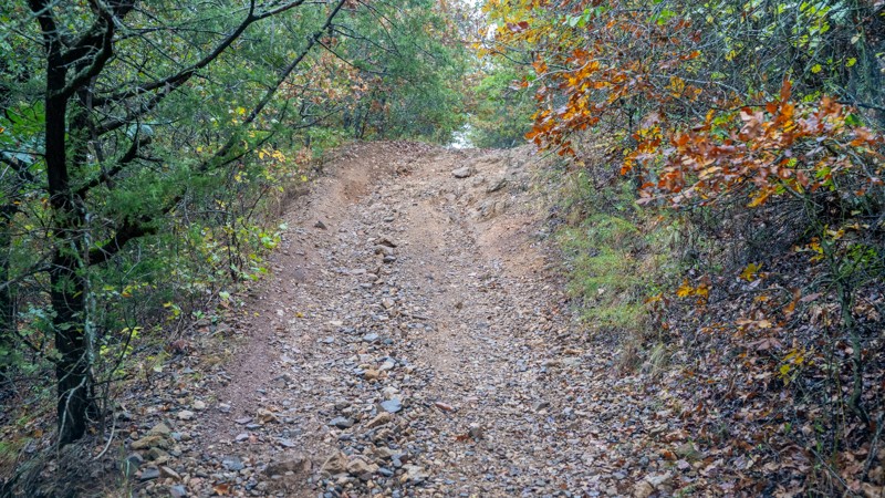
In a lifted vehicle, this trail is cake. However, I can see it being a struggle for a stock vehicle or someone not comfortable with camber yet.

Ryan Boudreau
Official Crew
Rated 5/5
Open
Visited: 10/27/2025
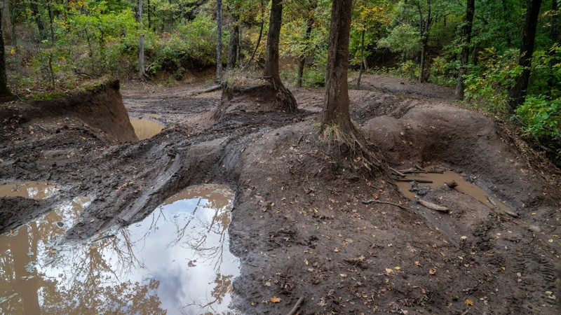
This is one of the best moderate-difficult trails in the park. The various terrain and obstacle types make it super entertaining throughout. And because there are so many different lines along the tra...

Ryan Boudreau
Official Crew
Rated 5/5
Open
Visited: 10/27/2025
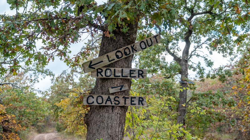
Just like the name implies, this is a trail that is continuously changing elevations. The ledges get larger on the north end, and i can definitly see this possibly being harder coming from the north e...

Ryan Boudreau
Official Crew
Rated 3/5
Open
Visited: 10/27/2025
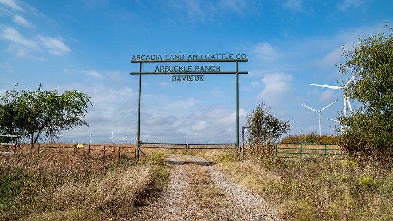
Not a great trail by any means, but an efficient way to go from Longhorn Loop to other parts of the western side of the park. The mud is not as deep as it appears. There are a lot of rocks in the soil...

Ryan Boudreau
Official Crew
Rated 4/5
Open
Visited: 10/27/2025
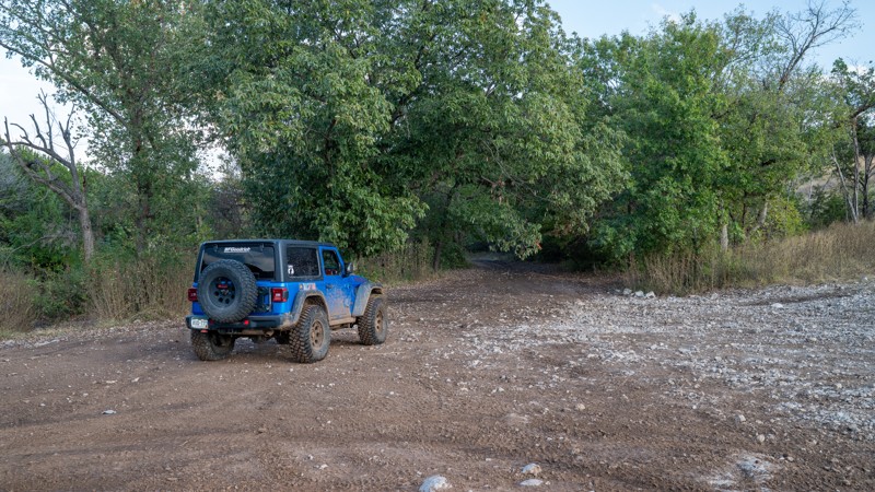
Simple connector trail with a few chunky sections. Nothing technical, but it is a bit slow going due to the roughness.

Ryan Boudreau
Official Crew
Rated 3/5
Open
Visited: 10/27/2025
This is a good beginner trail and often less crowded, but it is a long and bumpy trail. Scenic for sure, but bumpy.

Ryan Boudreau
Official Crew
Rated 4/5
Open
Visited: 10/26/2025
Unless you are wanting to go to deadman's, or see it, this trail is just "meh". If you are just trying to get between rollercoaster and rock face, I'd skip this one. Deadman's is a beast of an obstacl...

Ryan Boudreau
Official Crew
Rated 5/5
Open
Visited: 10/25/2025
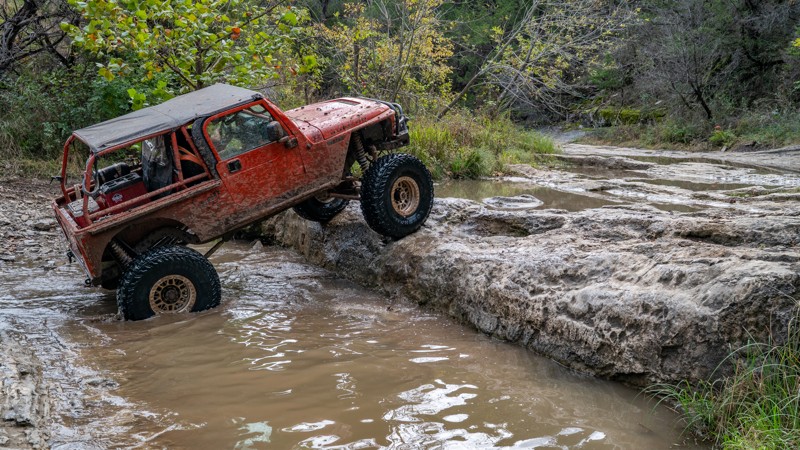
A total blast of a trail and definitely hardcore. The optional lines at the beginning give off a false sense of accomplishment. No matter what obstacle you finish with, 37-inch tires are the benchmark...

Ryan Boudreau
Official Crew
Rated 5/5
Open
Visited: 10/25/2025
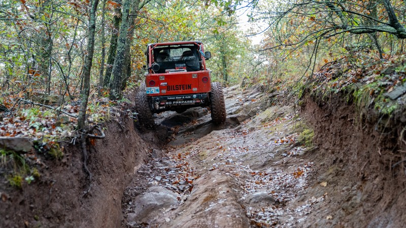
I ran this trail 3 times... twice on a dry day, and once on a rainy day. On a dry day, it had fantastic grip and traction. I had to use the lockers and give a few attempts up the ledges, but it worked...

Ryan Boudreau
Official Crew
Rated 4/5
Open
Visited: 10/25/2025
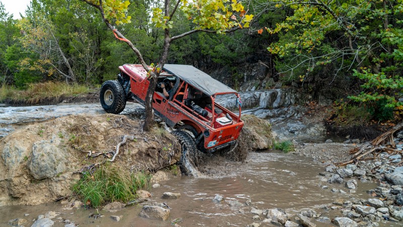
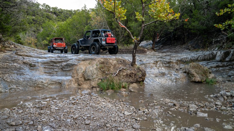
It's a fun, technical way out, and definitely a good longer route, but the constantly rough terrain makes it a little long and redundant. But, I'd have no issue recommending it to other folks. I just ...
Ryan Boudreau
Official Crew
Rated 5/5
Open
Visited: 10/25/2025
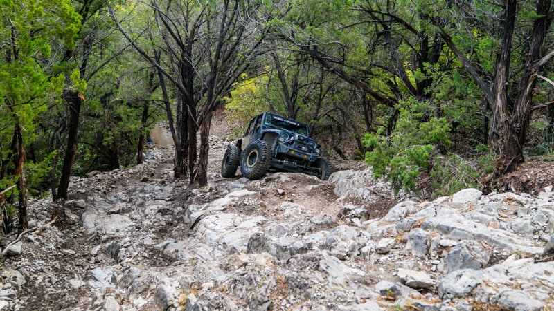
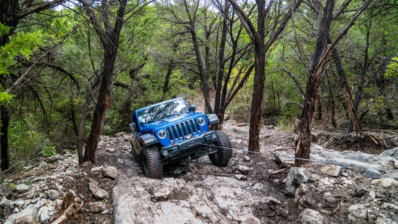
This trail is nasty! We ran it in each direction over 2 days, and both ways were super challenging. The limestone is super polished, making traction incredibly difficult. I had to winch at one point b...
Ryan Boudreau
Official Crew
Rated 5/5
Open
Visited: 10/25/2025
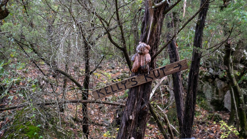
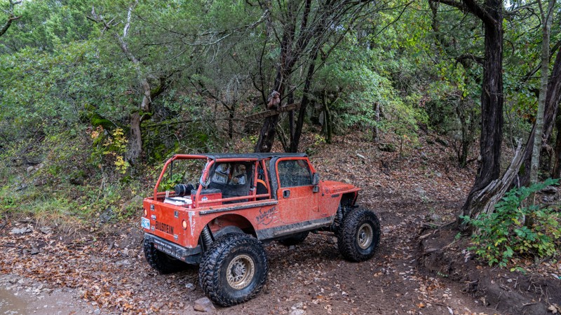
Super short. Super fun. Great little "kut" trail. I think on a dry day, just about any vehicle could find a line to claw their way up. It's a lower end difficult.
Ryan Boudreau
Official Crew
Rated 5/5
Open
Visited: 10/25/2025
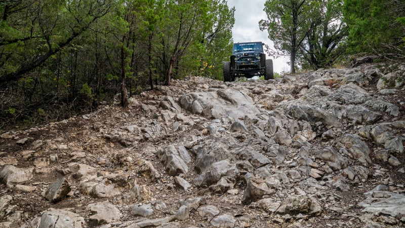
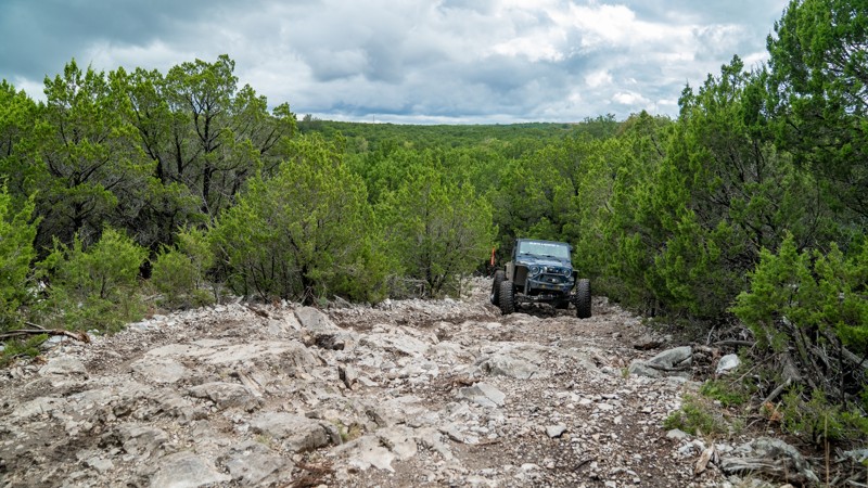
Rocky and ledgy throughout. It might be the fastest way out of the Onion Patch area. I think it's a toss up with Loretta Lane for the fastest. This is a bit tougher though. I think it's much harder go...
Ryan Boudreau
Official Crew
Rated 5/5
Open
Visited: 10/25/2025
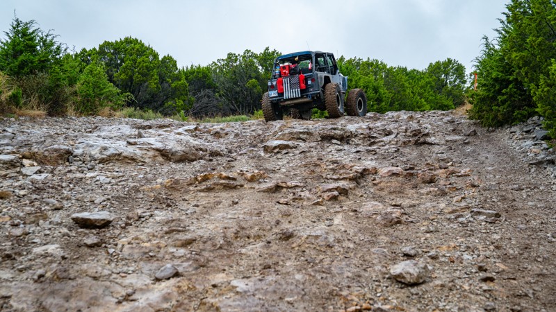
A few scenic views of this trail and the hill at the west end if pretty chunky. Definitely more sketchy in the rain as it's just a slide at that point.

Ryan Boudreau
Official Crew
Rated 5/5
Open
Visited: 10/25/2025
The shed is cool and the mud holes here are fun too. Be cautious where you drive through though, as a couple of the holes are REALLY deep.


Ryan Boudreau
Official Crew
Rated 4/5
Open
Visited: 10/25/2025
This is a good trail to access the western end of the park if coming from or going to Hub Hill. It's bumpy and rough at times, but on a rainy day, I'd prefer this over trying the mud holes on camp roa...

Ryan Boudreau
Official Crew
Rated 4/5
Open
Visited: 10/25/2025
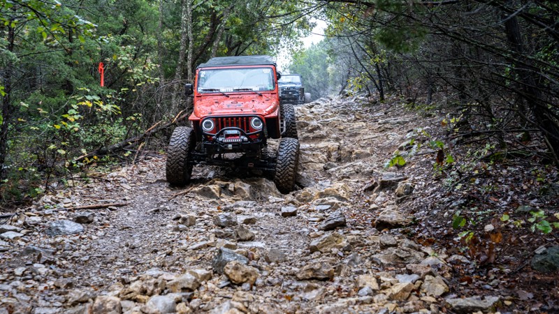
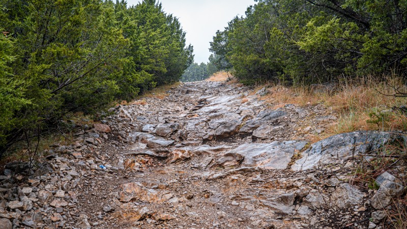
Continuously rocky indeed! Nothing major to note obstacle-wise, but it is a rough road.
Ryan Boudreau
Official Crew
Rated 4/5
Open
Visited: 10/25/2025
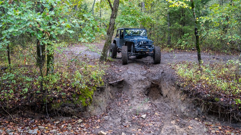
Not overly exciting, likely because it's an out-and-back. Just a couple of steep hills. I guess if you add this in while running Wall's Way it's fine and adds a couple more obstacles.

Ryan Boudreau
Official Crew
Ryan Boudreau
Official Crew
Rated 5/5
Open
Visited: 10/25/2025
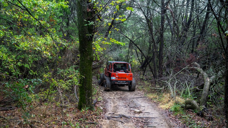
This is a great trail that offers several different types of obstacles with bypasses for everything. It's deep in the woods and feels very remote.

Ryan Boudreau
Official Crew
Rated 5/5
Open
Visited: 10/24/2025
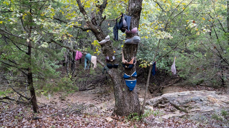
I really enjoyed this trail and can see why people would return to run it often. I ran it twice in 3 days. One day, it was very dry, and making line choices was really fun because you could try the ha...

Ryan Boudreau
Official Crew
Rated 4/5
Open
Visited: 10/24/2025
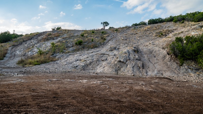
Pretty rough for a main road, but lots of fun things to see and explore along the way

Ryan Boudreau
Official Crew
Rated 3/5
Open
Visited: 10/24/2025
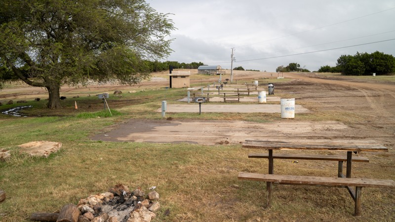
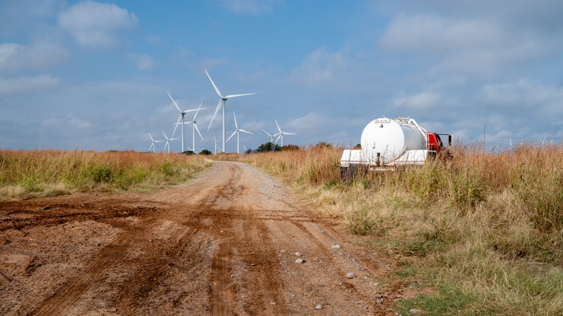
Just a primary access road. I was there for several days, and on the dry days, there was no issue at all, just rough in patches, and guys in RVs had to take it slow and easy. One day was really wet, a...
Ryan Boudreau
Official Crew
Rated 5/5
Open
Visited: 10/24/2025
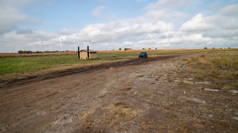
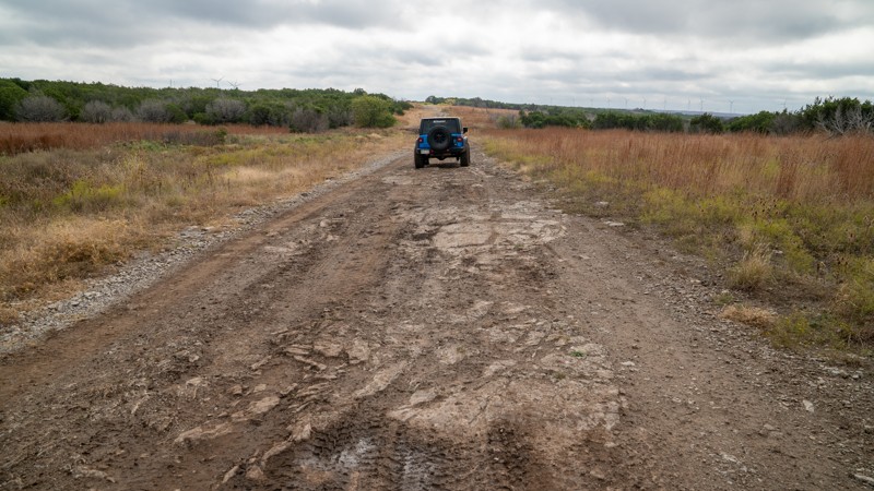
Easiest way into Turner Falls, which is WELL WORTH the visit. Honestly, I'd rather camp in Turner Falls than in Crossbar any day just because of all of the amenities it offers. The road back and forth...
Ryan Boudreau
Official Crew
Rated 4/5
Open
Visited: 09/06/2025
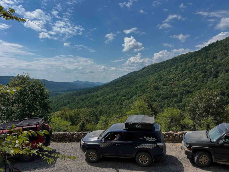
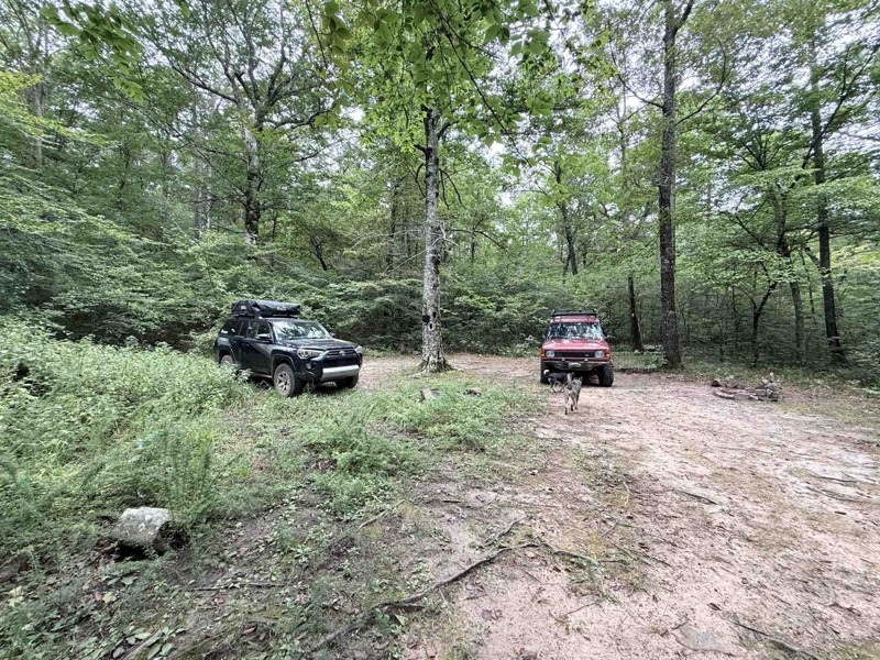
Went with group of buddies, lots and lots of pinstriping, expect some potential water crossings after rain. Lots of washouts so this trail can be as hard as you want it to be.

Kaleb Kralicek
Rated 5/5
Open
Visited: 09/01/2025
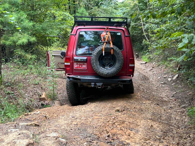
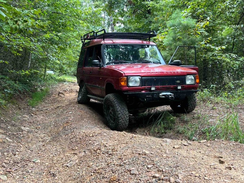
It was rough and had a deteriorated surface. Nothing too difficult until you get to the washouts. And as long as you have decent GC of at least 1’ you will have no issues lots of pinstriping though d...
Jason Clatt
Official Crew
Rated 5/5
Open
Visited: 09/01/2025
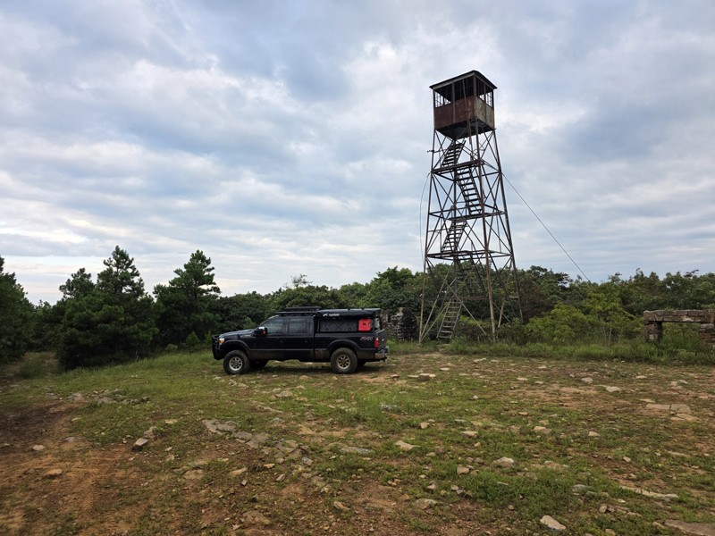
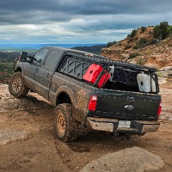
We only took the path up to the fire tower from 259, but at least I know that part is completely open. If it recently rained, expect lots of mud puddles up to the tower. There's one really washed out ...
Quinn Johnson
Rated 4/5
Open
Visited: 10/01/2023
Dual purpose motorcycle. Rode first 3 miles from east. Water wash out meandered along the road a foot deep and foot wide. Rocks 8-10 inches along narrowing routes. I was worn out and waned by a UTV th...
CL
Chad Landes
Rated 4/5
Open
Visited: 07/14/2023
Fun trail but had to turn around. I managed to get to the eastern half of the trail where I was going to start my decent but a storm was passing through. Being my first time on the trail, solo, with n...

Blaine Seitz
Rated 5/5
Open
Visited: 11/26/2022
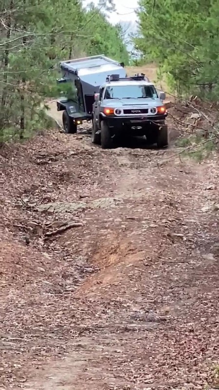
This was a fun trail, pulled a trailer from the sticks monument to the east end. Found a nice camping spot about 1 mile off the trail on the east end.


craig
Rated 4/5
Open
Visited: 05/21/2022
The Kiamichi Trail (or “K Trail” as it’s more often called) is a notorious offroad trail in Oklahoma running east-west across the Kiamichi Mountains. Beginning in Clayton, OK, it treks over some 89 mi...

KS
Kelly Short
Rated 4/5
Open
Visited: 04/01/2022
Natures pin striping will be a certainty. Challenging and fun trail. Very rocky, airing down should be considered. We started on the east side and moved westward and stayed the night about an hour ...

Nathan Frettoloso
Rated 5/5
Open
Visited: 06/05/2021
Fun trail. Several sections are really overgrown so if you like your paint being loppers to prune some of the overhanging limbs a little. The section that runs west from the 3 sticks monument had seve...

Brandon Boydstun
Rated 4/5
Open
Visited: 10/17/2020
Waypoints were spot on. There were a bit more rocks than expected, but overall it was a great experience. There was a note that the Hill Climb waypoint was the most difficult of the trail, but we fo...

CB
Christopher Bowman
Rated 4/5
Open
Visited: 03/16/2020
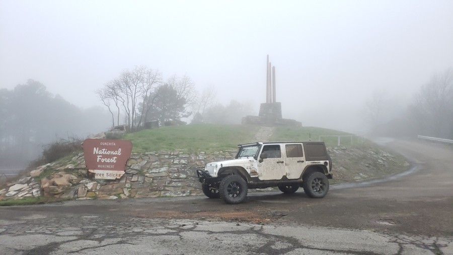
The day we ran this trail it was extremely foggy but it was still a great trip and a lot of fun. The fog was kind of eerie and added to the adventure. Having the waypoints and a downloadable GPX track...


Derek Shoptaw
Most Popular

Updated: 09/10/2026
TSOB
Davis, Oklahoma
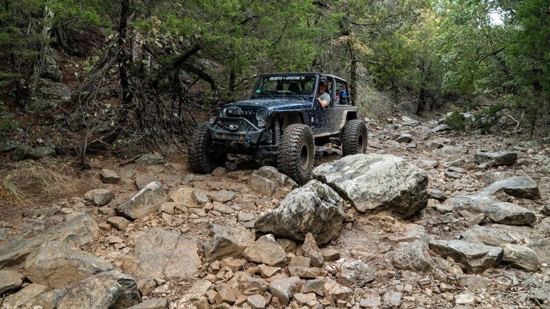
TSOB is one of the less challenging exits from the Onion Patch area, but it is far from an easy route. It begins with a 7-foot waterfall climb and then follows a hard-bottomed, water-filled creek until the water disappears, leaving a bed of chunky, jagged, polished limestone ranging in size from footballs and dinner plates to beach balls and coffee tables. The terrain is a continuous onslaught of rocks with periodic 2-foot ledges and waterfalls to keep things interesting. The narrow creek bed limits line choice and offers virtually no bypasses around the roughest sections. This trail is best suited for modified vehicles with larger tires, skid plates, rocker protection, and a winch. Lockers are highly recommended but not absolutely necessary.
Updated: 09/10/2026
Barn Road
Davis, Oklahoma
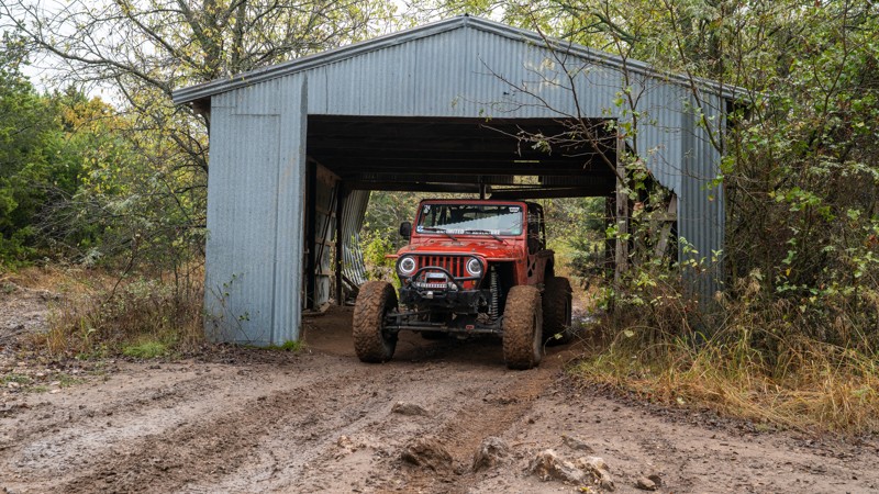
Barn Road is a straight-through mud run across the low, shaded Soggy Bottoms, linking Camp Road on the east to Trot Line on the west. A photogenic, weathered shed headlines it called “The Barn," which you can either drive through or around. Don’t let the quaint landmark fool you, however, west of the barn, the trail drops into trenched ruts, multiple creek crossings, and sticky clay wallows. Some water lines stay in the 12–24 inch range; others are deep enough to bury a rig to the frame, with off-camber dips that can lean you hard into the trees. Difficulty swings wildly with recent rain. In wet conditions, expect a tire-spinning, technical slog where lockers move from helpful to essential; even in drier spells, the churned ruts and soft bottoms make larger tires and a winch essential. It’s a classic Cross Bar challenge, mud-forward, recovery-friendly, and capped by a cool bit of ranch history at the trail’s namesake barn.
Updated: 09/10/2026
Short Course Bypass
Davis, Oklahoma
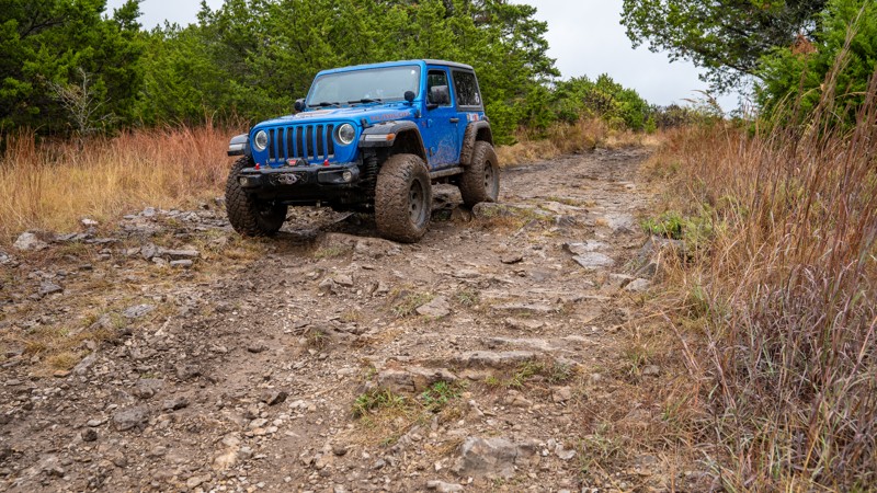
Short Course Bypass is a straight-through trail that accesses the west side of the short course and travels along the course for a very short section. It is a moderately rough trail with sporadic 12-inch rocks throughout and deeper ruts and mudholes along the north end. This is suitable for any high clearance vehicle. However, the north end is a bit rougher with more diff-catching rocks to be cautious of.
Updated: 09/10/2026
Riley's Ridge
Davis, Oklahoma
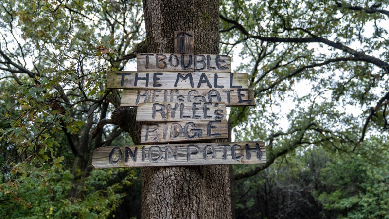
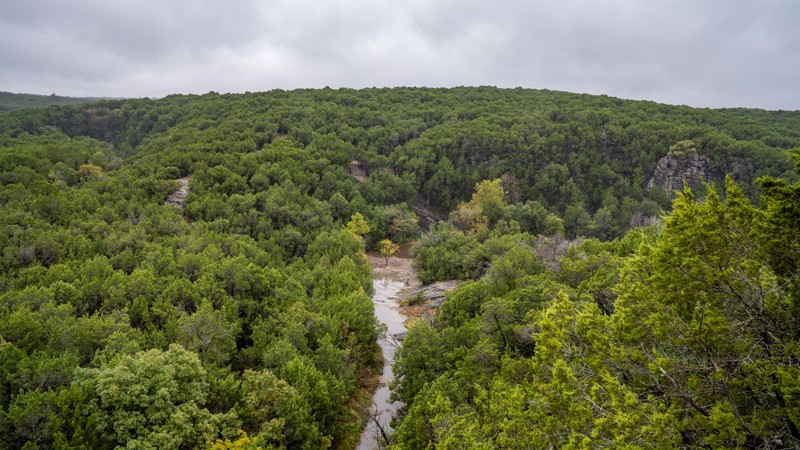
Riley’s Ridge (also signed “Rylee’s Ridge”) follows a narrow ridgeline above the Onion Patch with sweeping looks down toward TSOB, Hell’s Gate, and a tributary of Colbert Creek. It can be run in either direction, but it is easier downhill from east to west. The eastern approach is a relaxed run off the Main Road, winding through thick pine along a rough, bumpy dirt road with scattered embedded rock, before opening to a handsome overlook of the Onion Patch.
Past the overlook, you’ll choose between a short, moderate, and ledgey drop to a parking area above Hell’s Gate or the more difficult, slippery descent to the creekbed of O’Schmidt. The steeper hill mixes polished 2–3 foot limestone ledges with clay that turn extremely slick when wet, demanding careful throttle and tire placement.
No matter the route you choose, this trail is best suited for modified vehicles with larger tires and heavy-duty skid plates. If traveling the trail west to east, lockers are highly recommended.

Updated: 09/10/2026
Bedlam Boulevard
Davis, Oklahoma
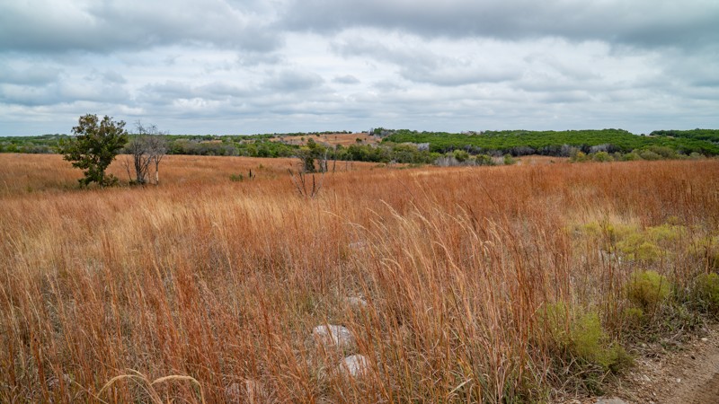
Bedlam Road is a straight-through, rough two-track that winds through the open grasslands on the east side of the park, connecting Cowboy Way and Sooner Express. It’s so lightly traveled that it feels like you’re forging your own path across an African savanna, with tall grass rising above the hood, brushing against the undercarriage, and occasionally concealing a few surprise rocks that could disrupt your alignment. Despite its rugged appearance, the trail is relatively easy and suitable for any high-clearance vehicle. With minimal mud, it’s an excellent choice even on rainy days. While most trees have been cleared and trimmed back, light pinstriping is still possible from encroaching shrubs.

Updated: 09/10/2026
Camber Park to Dead Man's Slide
Davis, Oklahoma
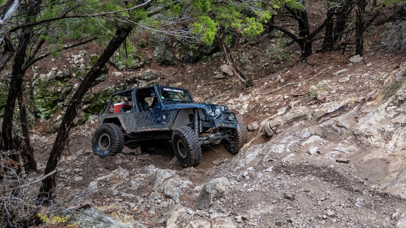
Camber Park is a half-circle-shaped trail in the northwest end of the park that takes users past one of the most famous and hardcore obstacles within Cross Bar Ranch: Dead Man’s Slide. The main trail is a mix of hardpack and exposed limestone that traverses a couple of water crossings and weaves through some tight vegetation. You will also encounter significant mudholes on the north half. The southern end of the trail is where you will find the optional Dead Man’s Slide, a daunting hill climb of rolling and slanted sandstone ledges. There are various lines up the hill climb, none of which are considered easy. The area below Dead Man’s is a wide, flat area, and a popular hangout spot.
Updated: 09/10/2026
Kellys Kut
Davis, Oklahoma
Kelly’s Kut is a very short spur off Gin N Juice, just east of Rock Face in the northwest corner of Cross Bar Ranch. The route takes only a few minutes to run and exists mainly for a single obstacle in the middle of the trail. That obstacle is a multi-ledge waterfall climb over loose dirt and polished limestone, with several tire-swallowing holes to avoid. Multiple lines provide different levels of difficulty, making it a quick, focused challenge best suited to modified vehicles. A spotter and careful tire placement are recommended.

Updated: 09/10/2026
Loretta Alternate
Davis, Oklahoma
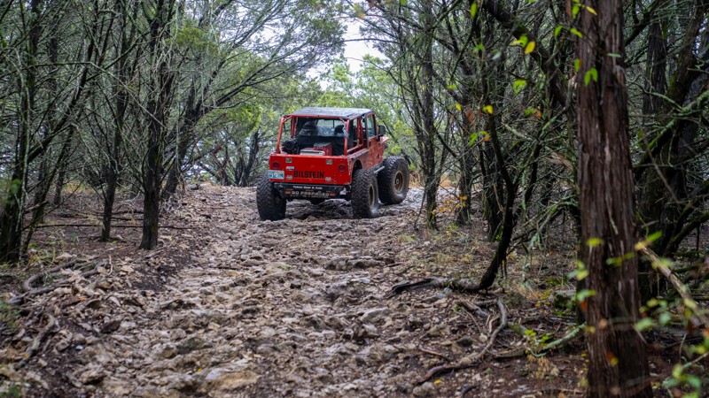
Loretta Alternate is a short spur off Loretta Lane that avoids the mudholes you find on Loretta Lane, but does not bypass any major rock obstacles. It offers the same type of experience with chunky, loose limestone rock and a few steep climbs. Rocks are slightly bigger along this alternate, ranging from volleyball to basketball size. However, the trail is still suitable for any high clearance vehicle.
Updated: 09/10/2026
Culdesac
Davis, Oklahoma
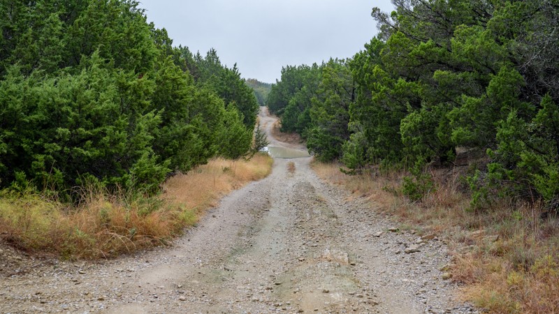
Culdesac is a tight, lollipop-shaped out-and-back that winds through the trees, crosses Wall’s Way, then climbs two steep, loose limestone hills with small polished ledges. The hills require steady commitment and maintained momentum. In dry conditions, any high-clearance vehicle should make the climbs without trouble. When wet, the slope turns slick and the ascents become significantly more difficult. Expect pinstriping on the section east of Wall’s Way.
Updated: 09/10/2026
Wall's Way Bypass
Davis, Oklahoma
This is an easy, packed dirt road with a few low depressions that create shallow water holes during wet conditions. It is primarily used as an access road to a private residence southeast of the intersection with Wall's Way. However, the road is additionally used to cut off the North and East sections of Wall's Way and create a bailout for users running Wall's Way in the counterclockwise direction. It also creates an alternative entrance to the Cul-De-Sac Trail.

Upgrade your Membership
Unlock all of the details on every Trail Guide and Scout Route.
Start a 7-day Free TrialCommunity
Partners

