
Mojave Road (34.3 miles away)
Baker, California
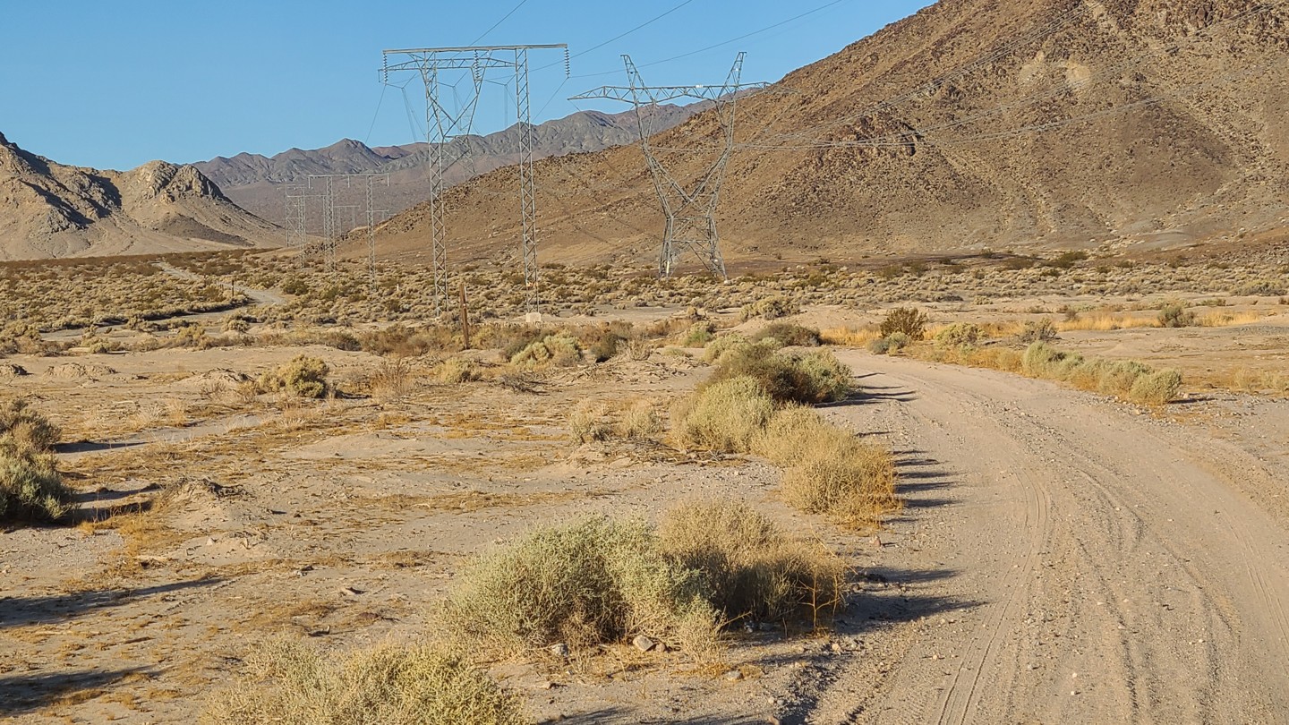

BLM D041 is a roughly 12-mile backcountry route through the open Mojave Desert south and east of Baker. As the trail climbs toward the I-15 corridor, it offers expansive views across broad desert valleys, rugged mountain ranges, and a sparsely vegetated landscape. D041 connects with an extensive network of BLM roads, making it a useful link for exploring the surrounding area. Long sightlines and the absence of development create a genuine sense of isolation despite the trail’s proximity to Baker and Interstate 15.
The route follows an unimproved desert two-track across sand, loose gravel, rocky patches, eroded sections, wash crossings, and steep hills. A high-clearance four-wheel-drive vehicle is required.
The eastern 7 miles, beginning east of Highway 127, are part of Segment 2 of the Eastern Mojave Heritage Trail. This roughly 190-mile section belongs to the larger 733-mile backcountry route supported through the efforts of the Bureau of Land Management and the Mojave Desert Heritage and Cultural Association.
Although dispersed camping is permitted on the surrounding BLM land, there are no suitable campsites along the trail to recommend.

