
Mojave Road (64.72 miles away)
Baker, California

NS499 runs along the western edge of Chemehuevi Valley with the rugged Turtle Mountains rising just to the west. The entire route is part of Eastern Mojave Heritage Trail (EMHT) Segment 4, one section of the larger 733-mile EMHT network. Segment 4 offers a 145-mile tour through some of the most remote terrain in the Eastern Mojave and is managed through a partnership between the Bureau of Land Management and the Mojave Desert Heritage and Cultural Association.
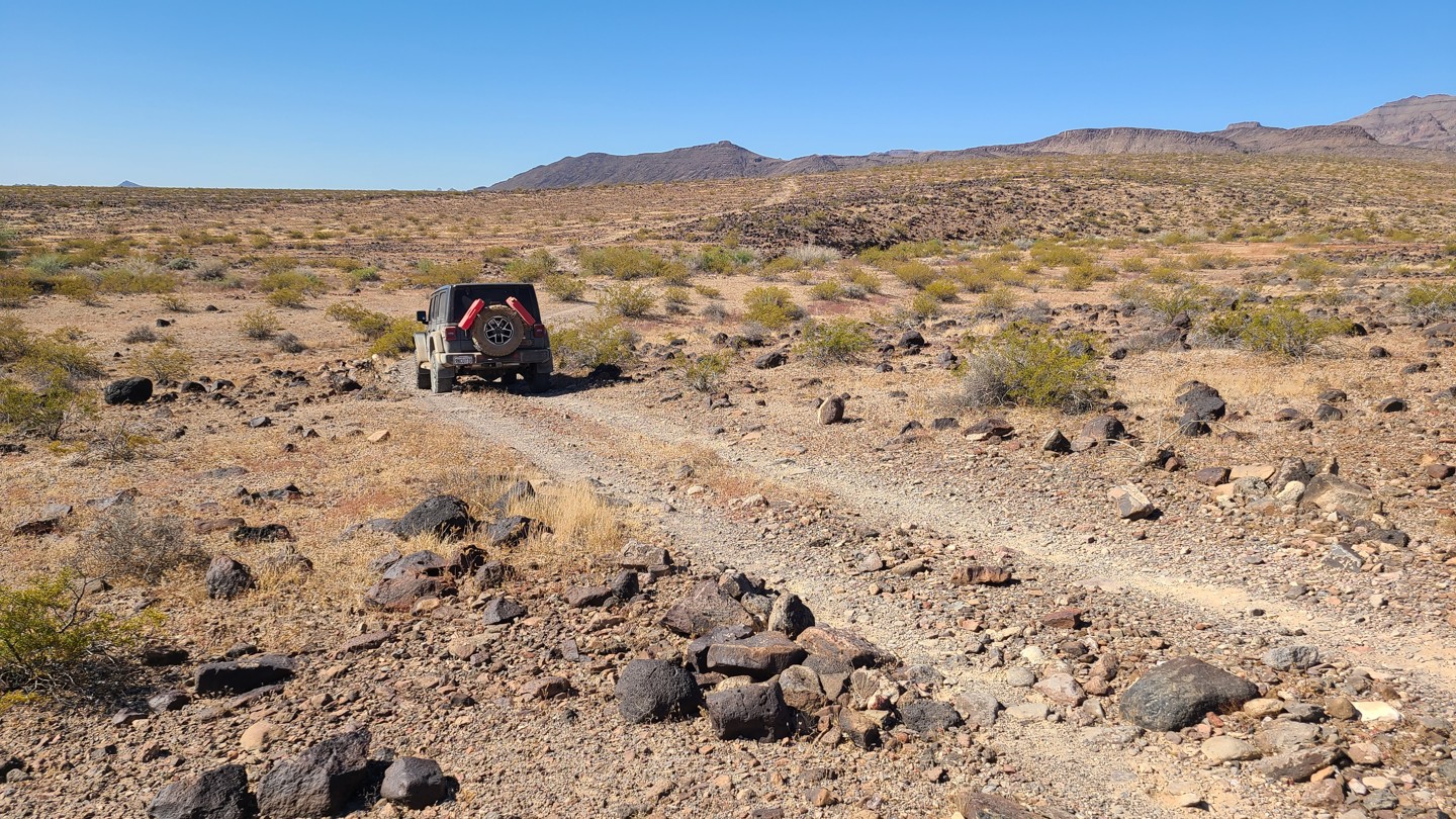
This is a slow, rocky trail for its entire length. Much of the route is covered in grapefruit-sized rocks and larger, with several steep, narrow wash crossings adding to the difficulty. The most challenging obstacle is about 2.6 miles from the east end, where the trail drops into a narrow, boulder-filled wash with no obvious track and requires a sharp 90-degree turn up a steep exit. A lifted 4x4 and an experienced driver are recommended. Drivers following the EMHT from the east can bypass this section by staying on Turtle Mountain Road to Highway 95, where the route reconnects with the EMHT at Pyramid Peak Road.
A few small, cleared areas along the trail can work for dispersed camping, but the best camping is just beyond the west end of NS499 on nearby NS495 at the abandoned mining cabin. That site offers more space for multiple vehicles and tents, along with excellent views across the valley.