
Log Corral Trail (11.07 miles away)
Fountain Hills, Arizona
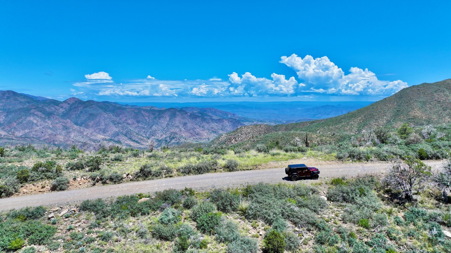

This graded, hard-packed dirt road climbs the slopes of one of the tallest mountains in the surrounding area. Along the way, sections of shelf road provide fantastic views across the valley below and toward the Mogollon Rim to the north. Winter conditions can occasionally bring snow to the upper elevations.
The drivable portion of the trail ends at a locked Forest Service gate approximately 0.6 miles below the summit. There is plenty of room to park near the gate, along with several campsites overlooking the surrounding landscape. Each campsite has a hard-packed dirt surface, space for approximately two vehicles, and an established rock fire ring. The views from this area are among the best found anywhere along the trail.
Communication equipment and a historic fire lookout occupy the summit area. The lookout stands at an elevation of 7,128 feet. The original 60-foot tower was constructed in 1936 and replaced in 1983 by the current 102-foot steel structure. Today, the site uses 360-degree, high-definition panoramic cameras to watch for changes along the skyline and detect potential wildfire activity.
The original lookout cab was preserved and is now on display at the Rim Country Museum in Payson, Arizona.

