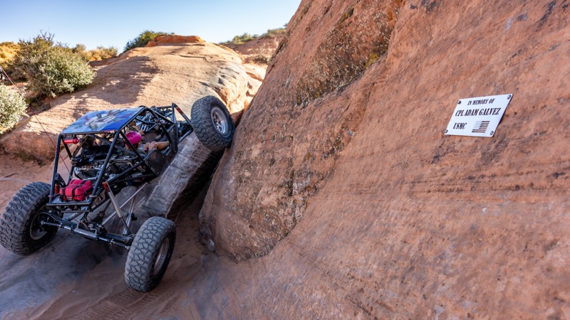
The Fallen (10.42 miles away)
Hurricane, Utah
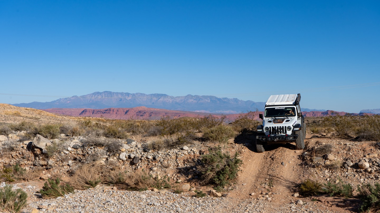

BLM Road #1036 is a spirited north–south route that provides access into or out of the Arizona Strip. On its northern end, the road is fairly tame, with a few wash crossings and sporadic dispersed campsites. It passes by Rock and Cottonwood Canyons, which cut into the Hurricane Cliffs to the east, offering impressive views.
At the intersection with BLM Road #2004, the wider, tame road narrows into a single-vehicle-wide two-track with a rocky surface scattered with baseball- to basketball-sized rocks. The trail descends into Black Rock Canyon, where a mild shelf road follows along the wash before climbing switchbacks to higher elevation and cattle grazing land, eventually meeting Sunshine Trail Road.
The road is suitable for high-clearance vehicles with 4-low gearing.
Periodically along the trail, you may see wooden posts marking the “Temple Trail.” The Temple Trail traces the route of Mormon settlers who, from 1874 to 1876, operated two sawmills at Nixon Spring for The Church of Jesus Christ of Latter-day Saints. Lumber was hauled by ox team to St. George, Utah, to construct the St. George LDS Temple. The Temple Trail follows this historic route along the Hurricane Cliffs and continues through Fort Pearce Wash.
Additionally, this road loosely follows a portion of the famed Domínguez–Escalante expedition route dating back to 1776.