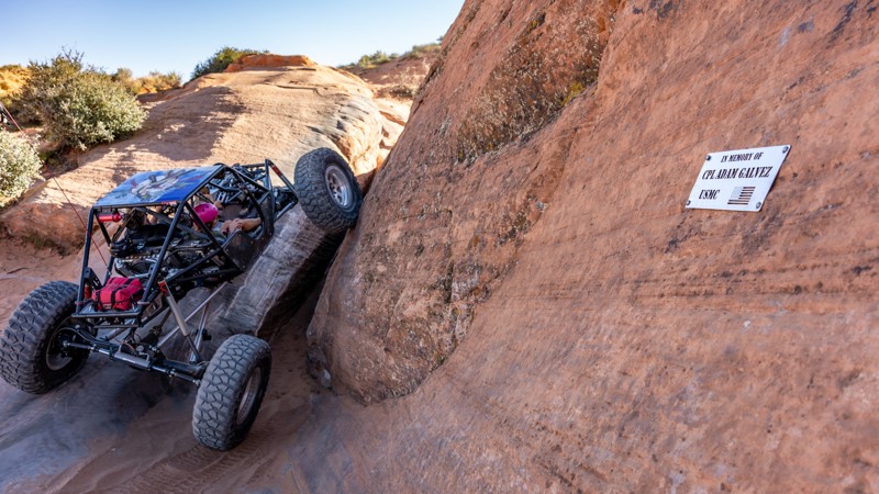
The Fallen (22.43 miles away)
Hurricane, Utah

County Road and BLM Road 30 is known on maps as Navajo Trail. It connects the Mt. Trumbull Loop Main Street section with the Clayhole section. "Navajo Trail” likely harkens back to the old-time-honored travel corridors of native peoples, early settlers, and herders, but there is no known story. Additionally, when reviewing maps, a small area is labeled White Pockets. This is a local sandstone basin named for its light-colored rock and shallow “pocket” formations. It is not the same as the famous White Pocket formation near Vermilion Cliffs, though it shares the descriptive naming style used widely by early surveyors on the Arizona Strip.
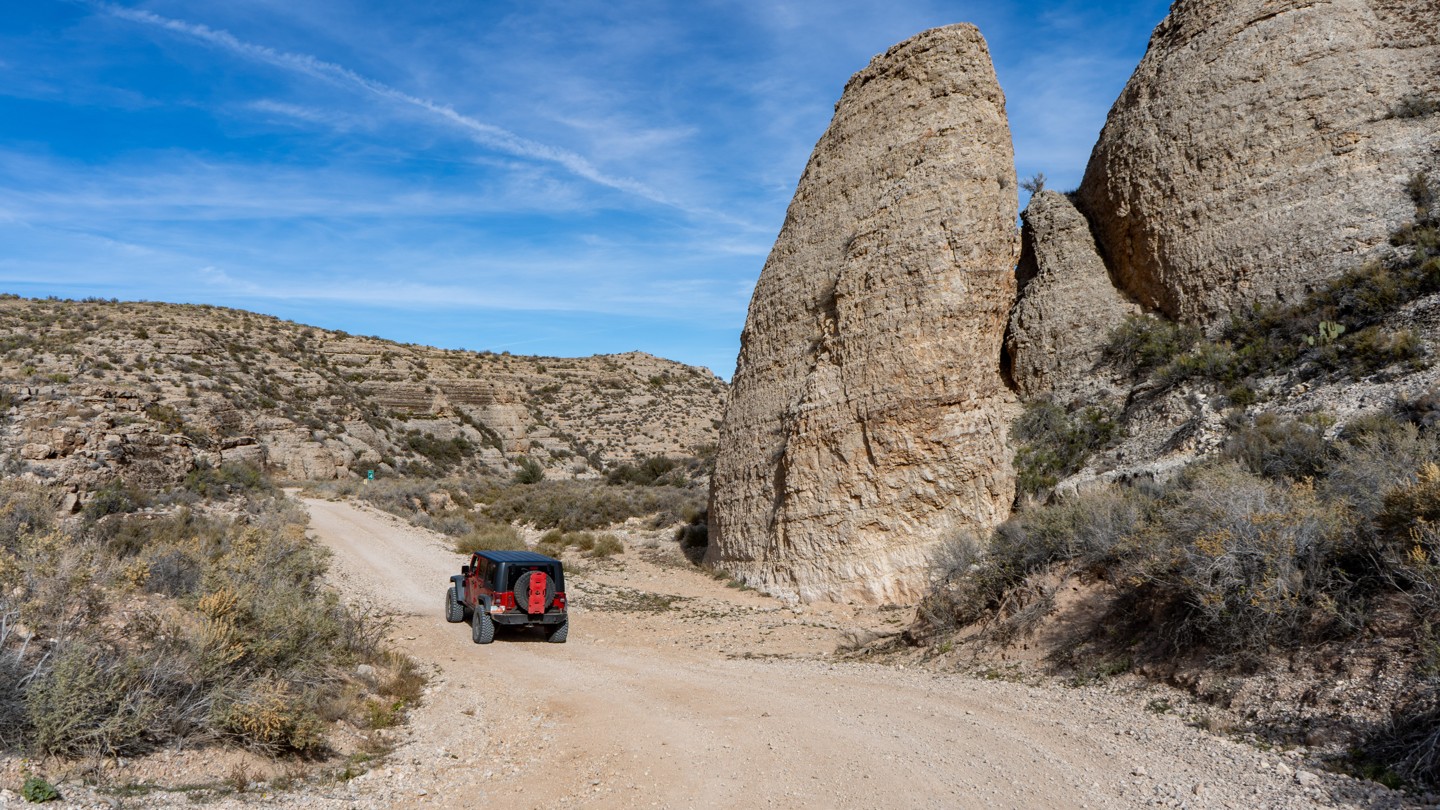
The route is suitable for almost any high-clearance vehicle. On the west end, it travels through Dutchman Draw, where it can be narrow and steep in spots. Anticipate blind corners and limited passing opportunities as you navigate through the Hurricane Cliffs. The road does cross a few washes, and those can change due to rain, so use caution. Interestingly, if you drive the road from west to east, the way up Hurricane Cliffs will look intimidating, but it's an optical illusion from afar, and the road leading up the cliffs is rather tame.
A couple of nice camping sites with limited tree cover can be found on its far west end. The remainder of the trail in flat areas offers plenty of spots to pull over and camp, but nothing is already pre-disturbed.