
Denali Highway (534.18 miles away)
Cantwell, Alaska

The Nome–Council Road is a 72-mile summer-only gravel route that runs from the coastal town of Nome to the historic gold-rush settlement of Council, perched on the south bank of the Niukluk River. The drive begins along the Bering Sea, following windswept beaches, coastal wetlands, and the famous Safety Roadhouse, the final checkpoint of the Iditarod Trail Sled Dog Race. It then turns inland, crossing wide tundra valleys and low rolling hills. The scenery transitions through nearly every ecosystem on the Seward Peninsula, from open tundra and lagoons to dense dwarf shrub and the western fringe of Alaska’s boreal forest. Along the way, you may encounter musk ox, reindeer, and arctic fox, as well as prolific birdlife near Safety Sound and the river crossings.
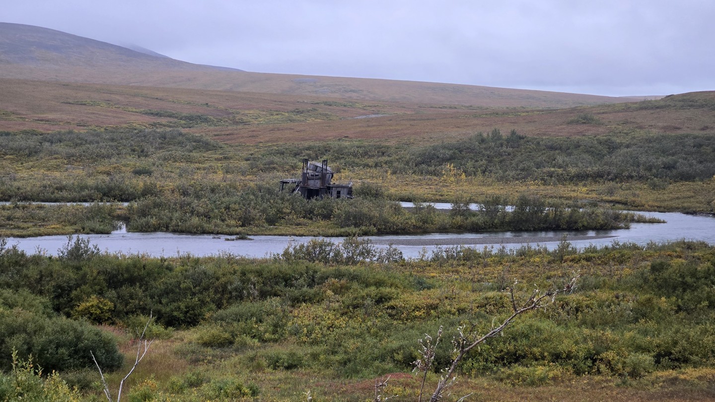
For drivers, this is a route that is both approachable and remote. The surface is unpaved from end to end, mostly wide and well-graded, with occasional washboard, potholes, and soft shoulders. The weather can change road conditions quickly. Storms may leave the track muddy or rutted, and lingering storm damage from Typhoon Merbok still affects some stretches. From May through October, most high-clearance vehicles can handle the drive, but beyond that, snow and ice make it impassable. Historical relics of Nome’s mining past line the route, including the “Last Train to Nowhere” and long-abandoned dredges. The road ends at the Niukluk River, where seasonal bridge access determines whether you can reach the tiny community of Council itself.
While not technically difficult, Nome–Council demands preparation and respect for its isolation. There are no services between Nome and Council, and the weather off the Bering Sea can shift from calm to harsh in minutes. Bring a full-size spare, recovery gear, extra fuel, and time to explore the relics, wildlife, and wide-open solitude that define this true Alaskan overland route.