
Denali Highway (162.78 miles away)
Cantwell, Alaska

Meandering through the Wrangell–St. Elias Mountains from the small community of Chitina to the abandoned mining town of McCarthy, just outside the historic Kennecott Mine, is an unforgettable experience.
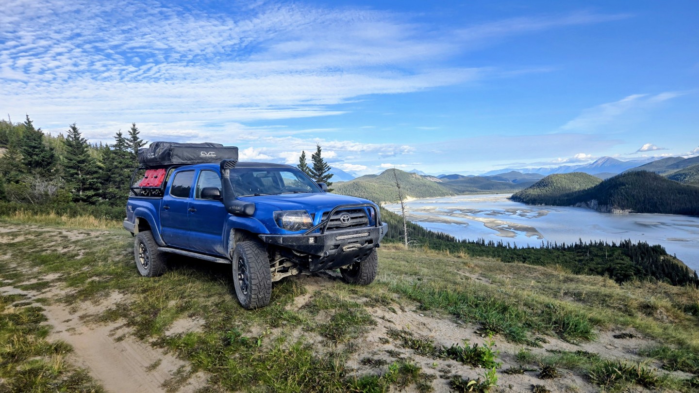
The McCarthy Road is a remote, 60-mile wilderness route that follows the old Copper River & Northwestern Railway grade from Chitina to the edge of Wrangell–St. Elias National Park. Known for its rugged charm, the road traces deep river canyons, passes through broad spruce forests, and offers sweeping views of the Wrangell Mountains. Travelers experience a true backcountry atmosphere, with limited services, abundant wildlife, and a sense of stepping far away from the developed road system.
Despite its scenic beauty, the McCarthy Road requires patience and preparation. Portions of the route remain narrow, winding, and unpaved, with frequent washboard and pothole sections depending on the season. Old rail ties—locally called “fishplates”—may still surface in the gravel in places, giving the drive a distinctive feel. Bridges and culverts have been significantly improved over the years, including the dramatic Kuskulana Bridge crossing 238 feet above the river, but conditions can still vary due to weather, runoff, and maintenance schedules.
The road ends at the Kennicott River Footbridge, the pedestrian gateway to the historic town of McCarthy and the nearby Kennecott Mines National Historic Landmark. From there, visitors can access an extensive network of trails ranging from easy riverside walks to glacier hikes and alpine routes deeper within the park. As both an access corridor and a scenic experience of its own, the McCarthy Road offers an unforgettable introduction to the raw, expansive landscape of America’s largest national park.
Along the route and at McCarthy are paid camping options, some state owned and some privately owned. Make sure to follow the fees and permits for both as they do differ.