



By clicking "ACCEPT", you agree to be the terms and conditions of each policy linked to above. You also agree to the storing of cookies on your device to facilitate the operation and functionality of our site, enhance and customize your user experience, and to analyze how our site is used.
British Columbia Off-Road Trails
1
Total Trail Guides 1

20
Detailed Waypoints 34
Try a Free 7-Day Trial and unlock it all
Start a Free Trial Most Recent Trail Reviews
No Rating
Open
Visited: 08/11/2026
Per the MVUM, the trail is seasonally open. As always, check current fire restrictions/closures before venturing out.


Trails Offroad
Official Crew
No Rating
Open
Visited: 08/11/2026
Per the MVUM, the trail is seasonally open. As always, check current fire restrictions/closures before venturing out.
Trails Offroad
Official Crew
No Rating
Seasonal Closure
Visited: 11/01/2025
According to this trails management agency, the trail is likely closed for the season.
You can reach out to the agency for more details.
Be sure to leave us a report and let us know ...
Trails Offroad
Official Crew
No Rating
Seasonal Closure
Visited: 11/01/2025
According to this trails management agency, the trail is likely closed for the season.
You can reach out to the agency for more details.
Be sure to leave us a report and let us know ...
Trails Offroad
Official Crew
No Rating
Open
Visited: 03/01/2025
According to this trails management agency, the trail is likely open for the season.
You can reach out to the agency for more details.
Be sure to leave us a report and let us know if...
Trails Offroad
Official Crew
No Rating
Open
Visited: 03/01/2025
According to this trails management agency, the trail is likely open for the season.
You can reach out to the agency for more details.
Be sure to leave us a report and let us know if...
Trails Offroad
Official Crew
No Rating
Seasonal Closure
Visited: 11/01/2024
Trail is closed per FS seasonal dates. See you next year!
Trails Offroad
Official Crew
No Rating
Seasonal Closure
Visited: 11/01/2024
Trail is closed per FS seasonal dates. See you next year!
Trails Offroad
Official Crew
Rated 5/5
Open
Visited: 08/01/2024
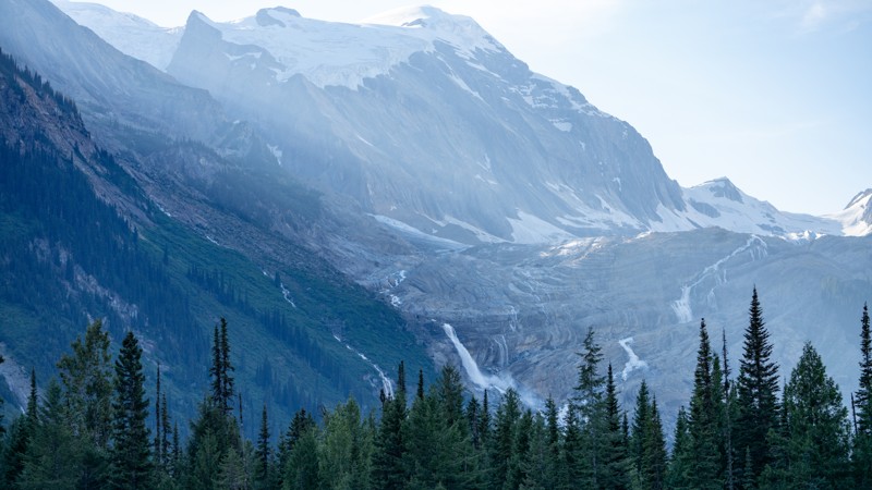
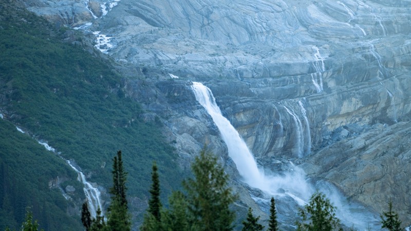
This truly is a beautiful trek through the valley! Mountains, flowing rivers and creeks, waterfalls, and glaciers! Take some time to stop at Thompson Falls and Mummery Glacier. We encountered a wildfi...
Tony Faiola
Official Crew
Rated 3/5
Open
Visited: 07/31/2024
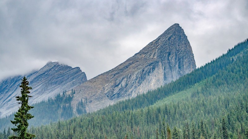
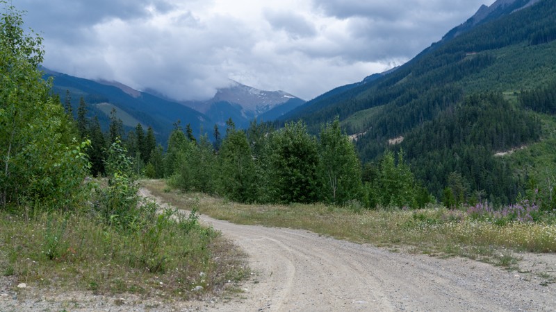
A nice trail that winds its way up into the mountains. Good pull off spots with views of the valley below. Many spur roads that look like the go even higher elevation but we didn't explore them. We sa...
Tony Faiola
Official Crew
Rated 5/5
Open
Visited: 11/17/2023
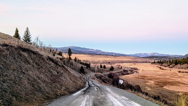
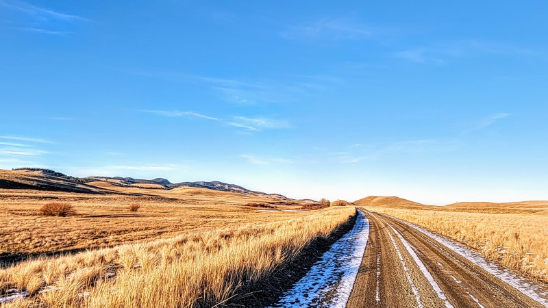
A cool drive through the valley along some lakes and rivers. I saw a couple of herds of deer.
Matt T
Official Crew
Rated 4/5
Open
Visited: 11/17/2023
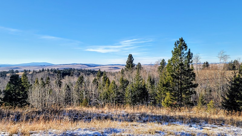
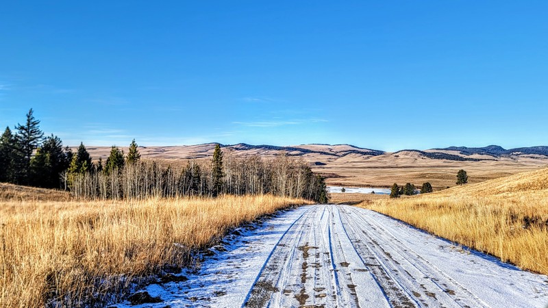
There were lots of deer and livestock in the area. The western section is the best part with the views of the lake.
Matt T
Official Crew
Rated 5/5
Open
Visited: 11/17/2023
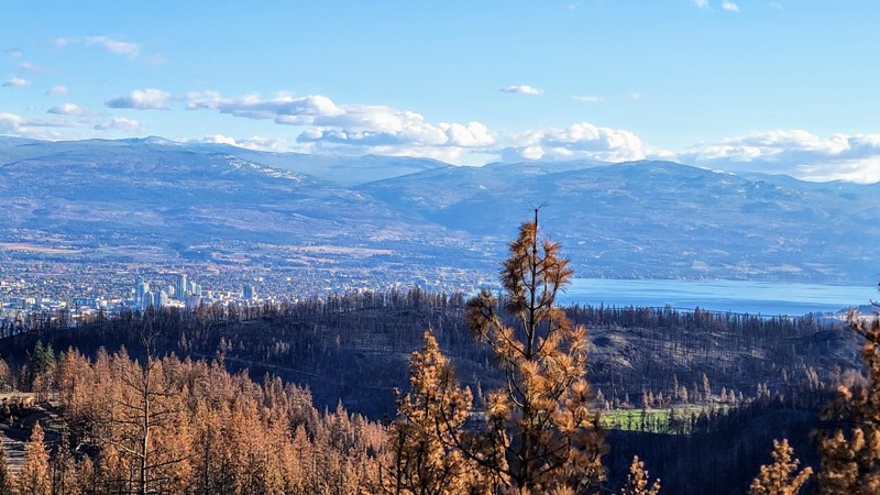
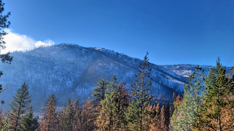
The lakes and campgrounds are pretty cool; I want to return in the summer and go out on the lake.
It’s an incredible drive that connects to other cool trails, so you can do a whole loop from Kelowna,...
Matt T
Official Crew
Rated 5/5
Open
Visited: 11/14/2023
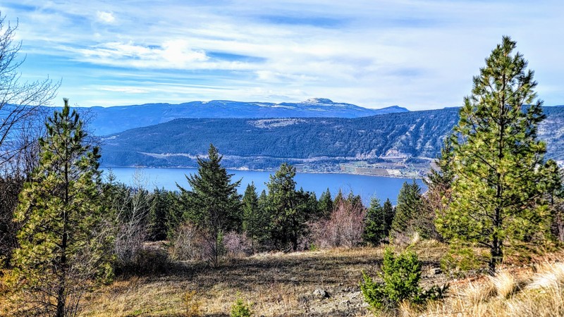
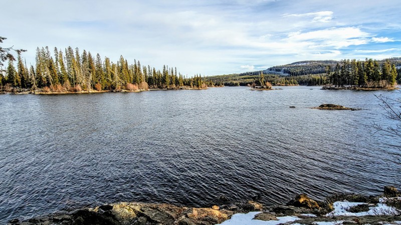
These lakes look like a fisherman’s dream. It's a great way to escape the heat during the summer, with lots of paddleboarding and other water activities.
Matt T
Official Crew
Rated 5/5
Open
Visited: 11/14/2023
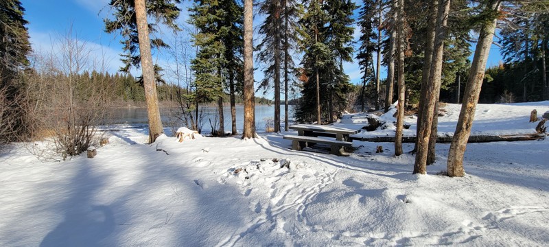
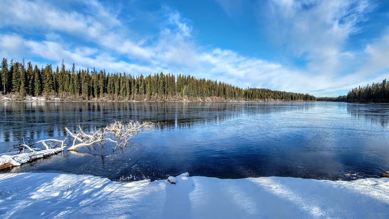
This was a really cool drive with lots of access to the lakes, which are great for fishing or any water activities.
Matt T
Official Crew
Rated 5/5
Open
Visited: 11/01/2023
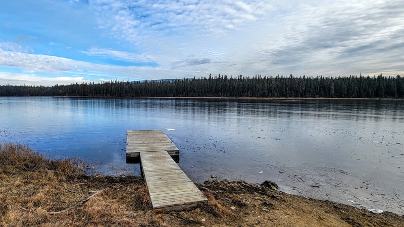
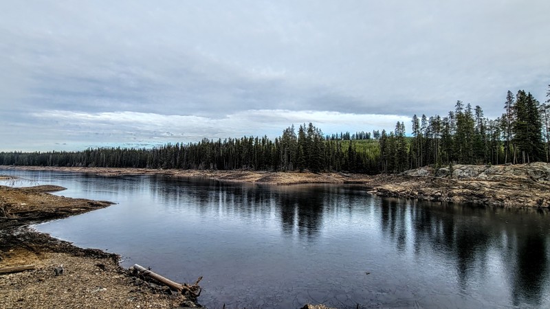
This road is an open livestock range, so watch out for cows on the road. The lakes are very cool, and the camping is great too. These lakes are great places for fishing and water activities.
Matt T
Official Crew
Rated 5/5
Open
Visited: 11/01/2023
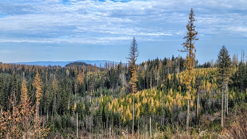
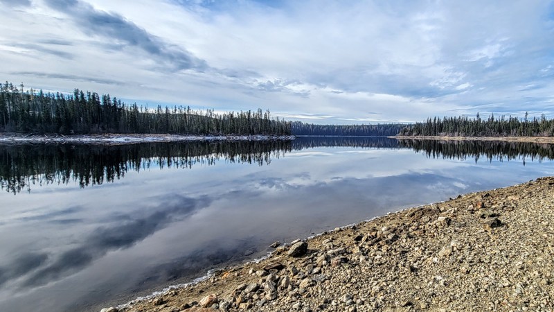
Buck Hills is a great trail; the Aberdeen Columns hike is really cool and worth the short trip from the road. Nicken Lake is fantastic and the camping is great there, plenty of privacy.
Matt T
Official Crew
Rated 5/5
Open
Visited: 10/31/2023
The lake is awesome, and there was no one there at either beach. The weather was a nice brisk fall day, and the trail was in good condition. Watch out for logging trucks.
Matt T
Official Crew
Rated 4/5
Open
Visited: 10/29/2023
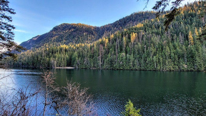
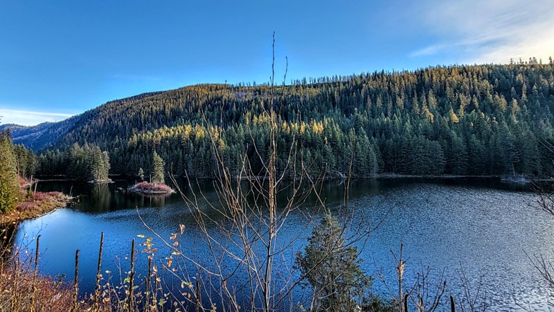
Echo Lake was really cool, I want to come back when it’s warmer.
I saw two bald eagles around the lake and lots of deer.
Matt T
Official Crew
Rated 3/5
Open
Visited: 10/29/2023
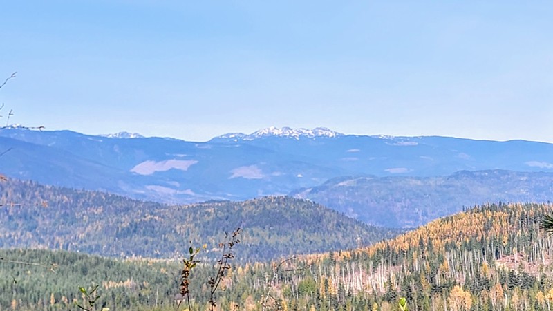
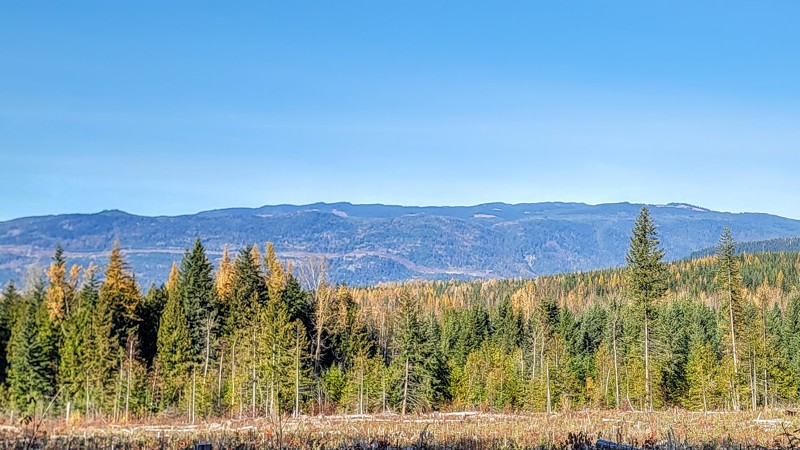
Not a whole lot to see other than some mountain views, no camping.
Matt T
Official Crew
Rated 3/5
Open
Visited: 10/29/2023
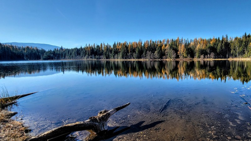
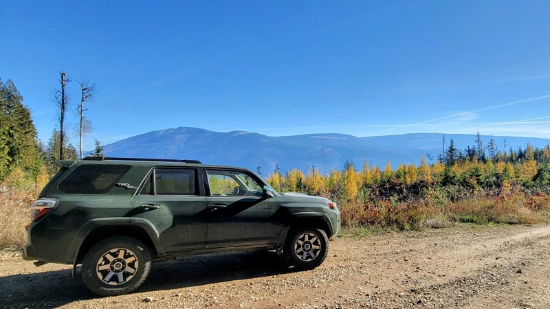
Very easy trail and the view of Mable Lake was amazing; great place to stop for lunch. Not much to see other than that.
Watch out for deer and other wildlife.
Easy trail to drive, I saw a minivan o...
Matt T
Official Crew
Rated 4/5
Open
Visited: 10/29/2023
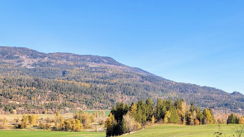
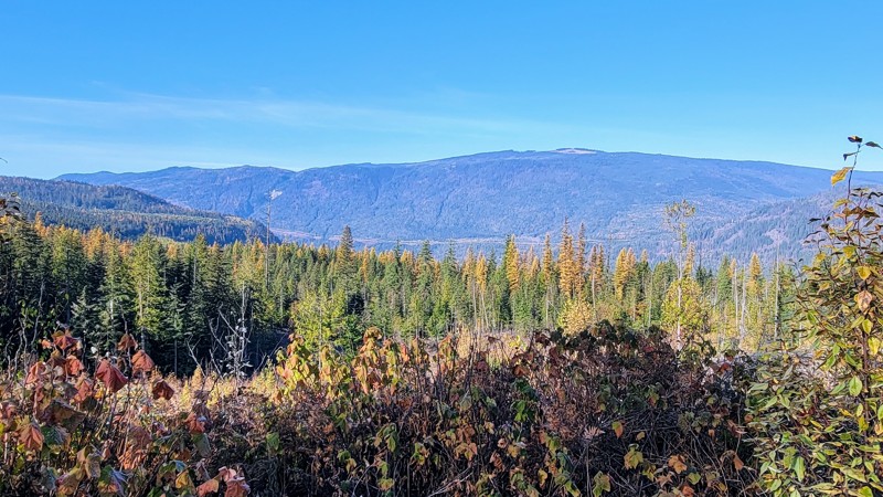
Hidden Lake is pretty cool and nice for kayaking or paddleboarding. There were some deer along the road, so watch out for wildlife.
Matt T
Official Crew
Rated 5/5
Open
Visited: 10/27/2023
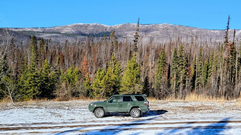
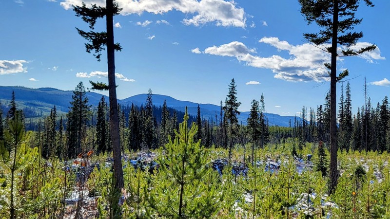
I went in late October, and at higher elevations, there was an inch or so of snow on the ground. Be sure to check road conditions before you go.
Matt T
Official Crew
Rated 4/5
Open
Visited: 10/27/2023
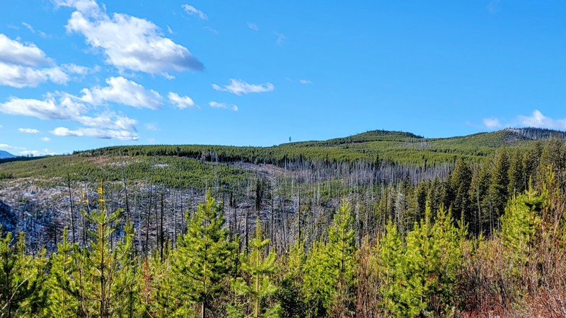
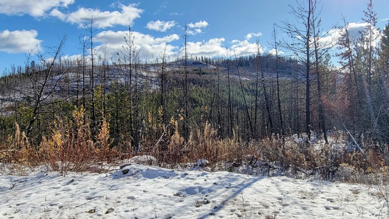
This was a nice drive through the forest, with a couple of really cool lookout points. No camping areas on the trail.
Matt T
Official Crew
Rated 5/5
Open
Visited: 08/15/2023
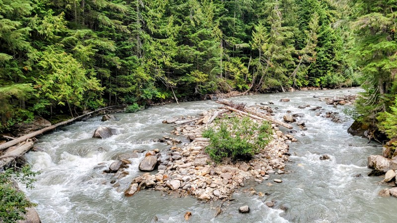
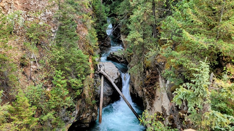
There weren’t many people or cars out on the road, but there was a nearby fire which made for very hazy conditions.
The lake is a great place for boating or paddling; there was no one out there.
Matt T
Official Crew
Rated 5/5
Open
Visited: 08/09/2023
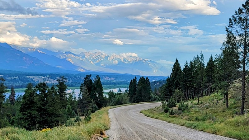
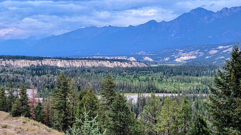
There are several other roads that connect to Westside Road if you want to venture out further into the mountains and wilderness.
Matt T
Official Crew
Rated 4/5
Open
Visited: 08/06/2023
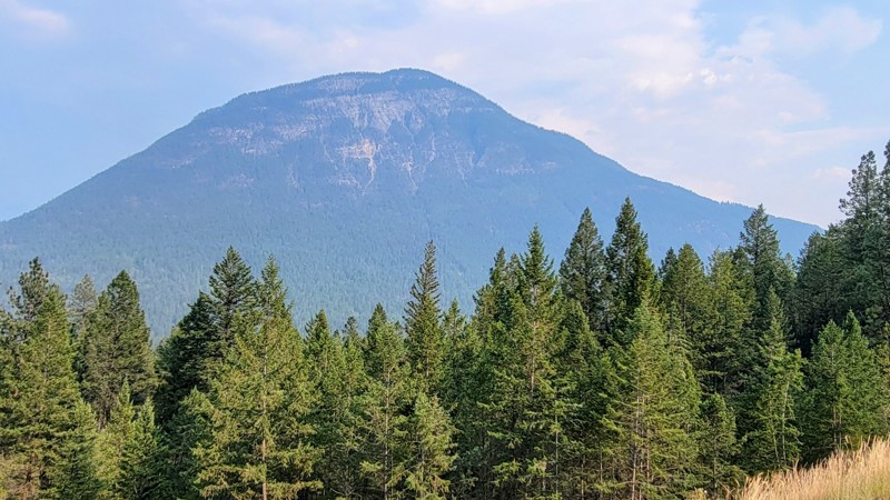
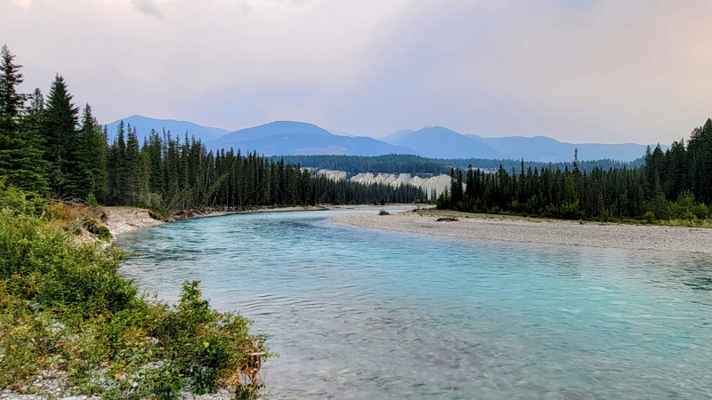
Always check the fire report and maps before venturing out; some of the connecting roads were closed due to fire activity.
I saw a couple of bighorn sheep along the way, so watch your speed as there ...
Matt T
Official Crew
Rated 4/5
Open
Visited: 08/06/2023
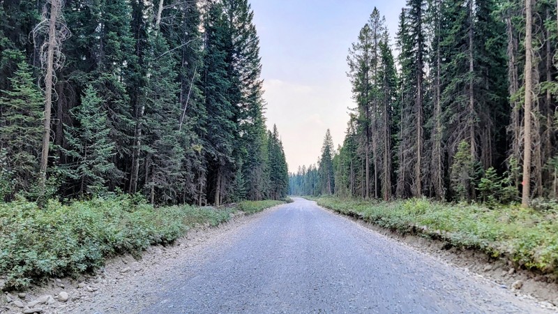
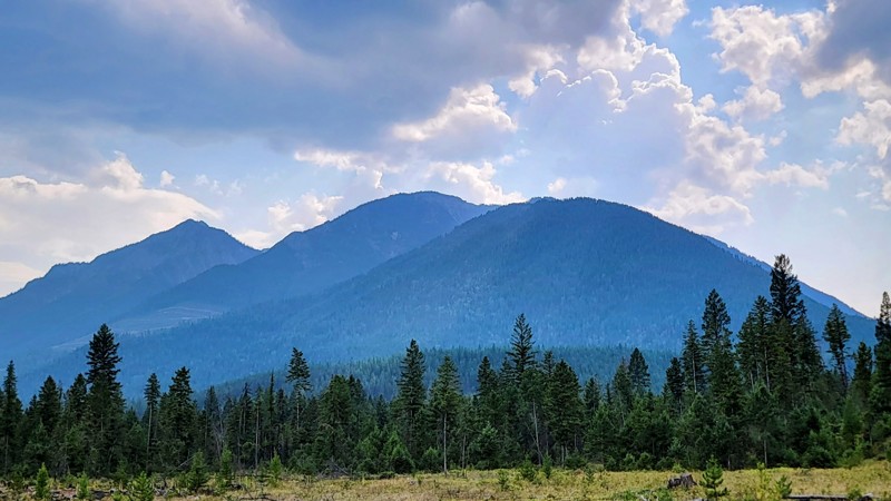
There are several other trails in the area that can connect with Settlers Road and make a great loop, such as Kootenay River Forest Service Road.
There were some forest fires in the area which led to...
Matt T
Official Crew
Rated 5/5
Open
Visited: 08/04/2023
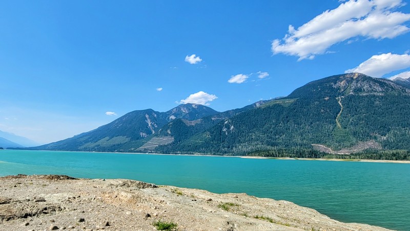
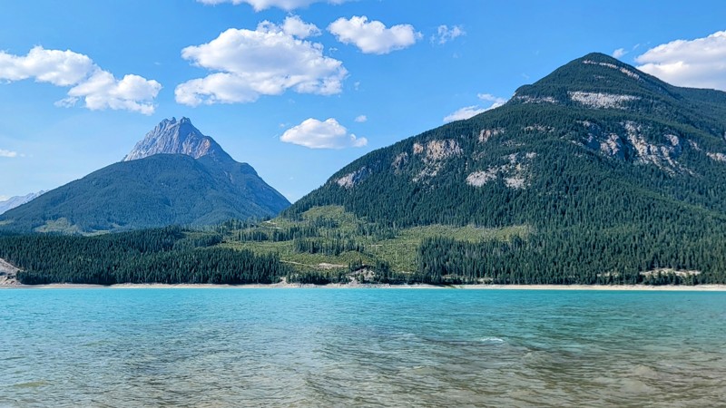
Watch out for wildlife, I saw a mom and cub black bear on the side of the road. So watch your speed as the road can get quite busy in the summer as boating activity on the lake is very popular.
Bush...
Matt T
Official Crew
Rated 3/5
Open
Visited: 08/02/2023
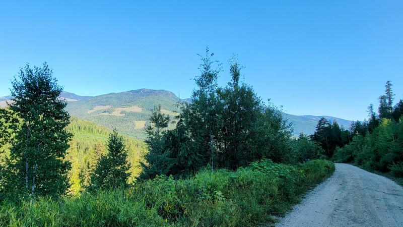
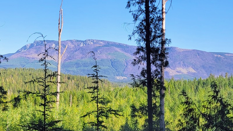
Some small trees had fallen in the road, but they were easy to drive over. Many vehicles were on the road, so watch your speed around blind corners.
Most of the road was lined with thick trees and v...
Matt T
Official Crew
Rated 4/5
Open
Visited: 08/02/2023
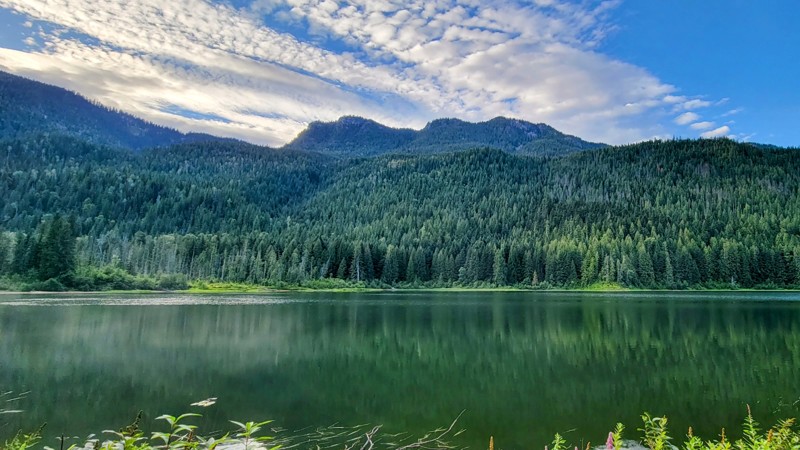
There were lots of other cars and logging trucks on the road, so be aware and watch your speed around blind corners. Frog Falls is a neat little waterfall just a short walk from the Frog Falls Recreat...

Matt T
Official Crew
Rated 4/5
Open
Visited: 07/29/2023
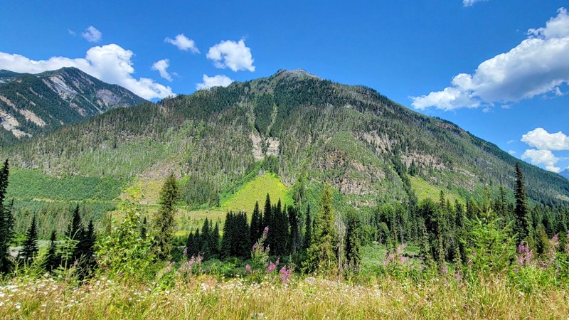
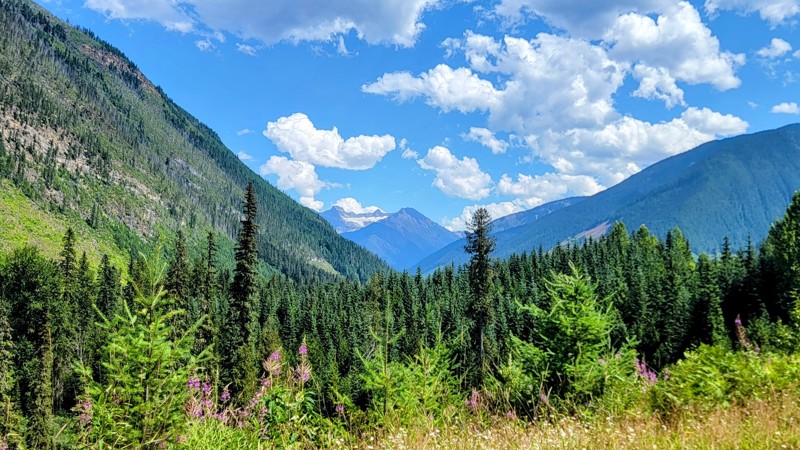
The wildflowers were in full bloom in late July, but I struck out on gold-panning; guess I’ll have to keep writing for Trails Offroad for now.
There were some downed trees in the road, you can drive ...
Matt T
Official Crew
Rated 5/5
Open
Visited: 07/27/2023
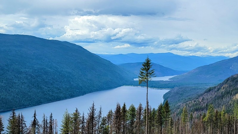
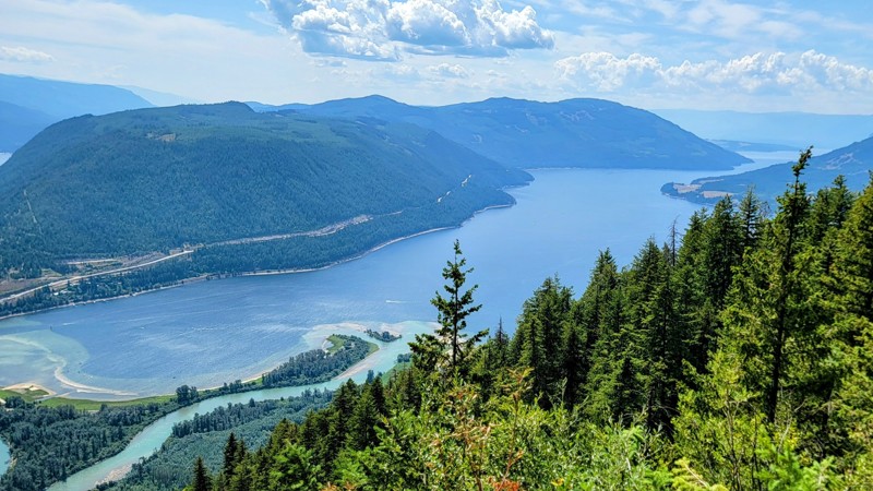
Watch out for those logging trucks and pickups out there, they come flying down the road. The trail ended after some switchbacks, and there was a huge pile of logs and an impassable ditch that marked ...
Matt T
Official Crew
Rated 4/5
Open
Visited: 07/26/2023
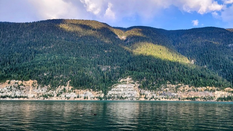
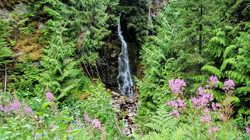
The scenic viewpoints are few-and-far in between, which is a shame because the aqua-blue water of Lake Revelstoke is unbelievable. Along the out-and-back trail, there are a few trickling waterfalls do...
Matt T
Official Crew
Rated 5/5
Open
Visited: 07/25/2023
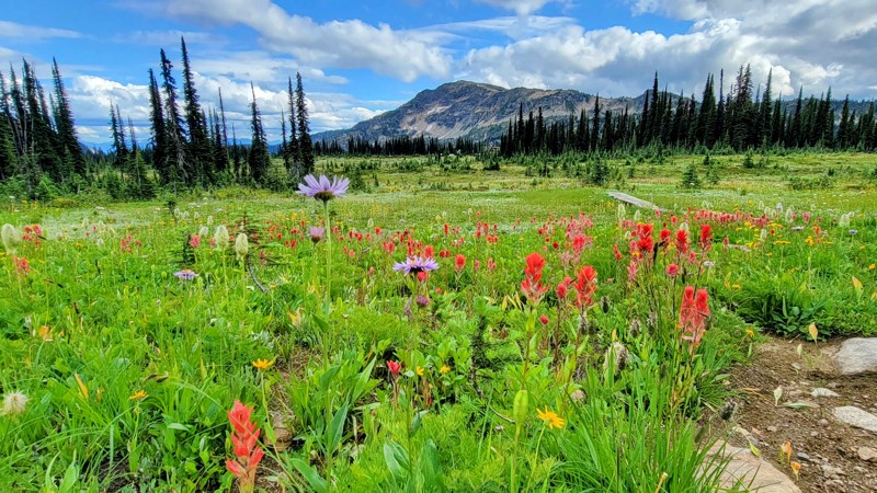
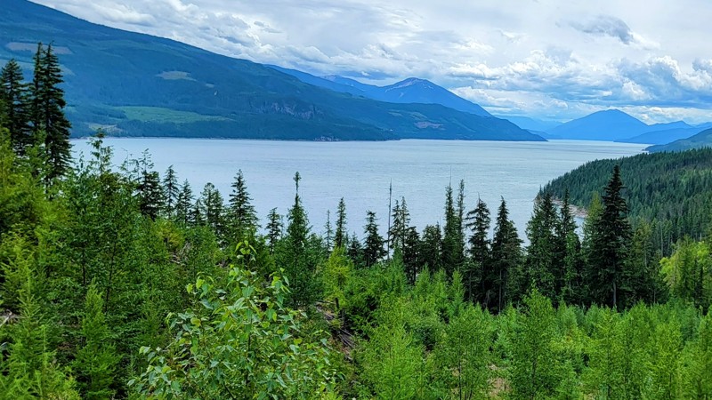
The lodge at Sol Mountain was really cool, and I did a short walk into the meadow and saw the most amazing wildflowers I’ve ever seen in my life! Wildflower season is July and August.
Watch out for l...
Matt T
Official Crew
Rated 5/5
Open
Visited: 07/23/2023
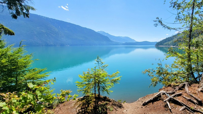
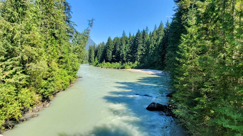
Hadow Creek Campground is one of the best campsites I’ve ever seen, I went for a paddle, and there was only one boat on the whole arm (which is pretty large.) If you want remote camping with incredibl...
Matt T
Official Crew
Rated 5/5
Open
Visited: 07/16/2023
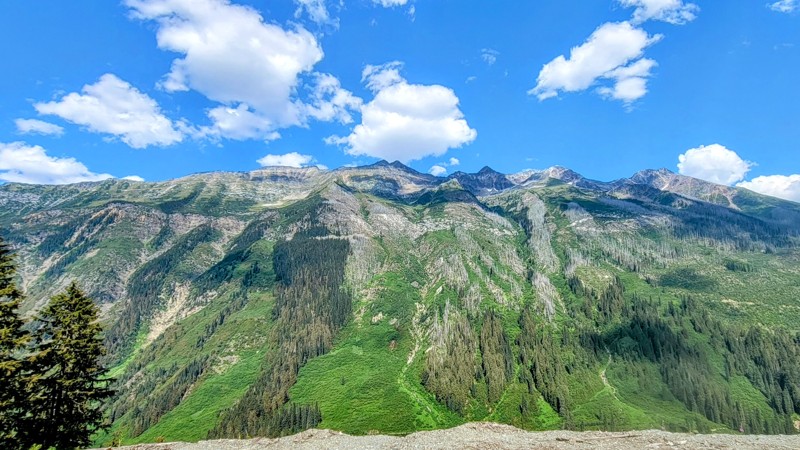
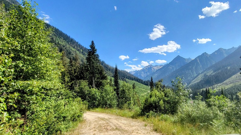
Most of the road was easy; it got narrow at parts, but not too bad. The wildflowers were in full bloom along the trail. The last climb was worth the drive. I sat up on the mountain for a good hour and...
Matt T
Official Crew
Rated 5/5
Open
Visited: 07/16/2023
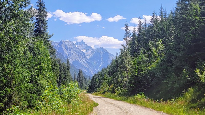
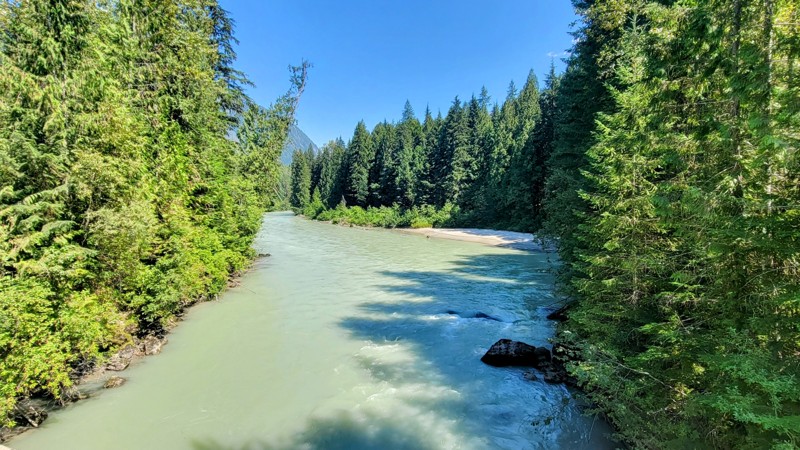
This was an easy and fun road to drive; the views of the creek and the surrounding peaks are spectacular. Be on the lookout for wildlife, I saw a small black bear run across the road. The bridges over...
Matt T
Official Crew
Rated 4/5
Open
Visited: 07/14/2023
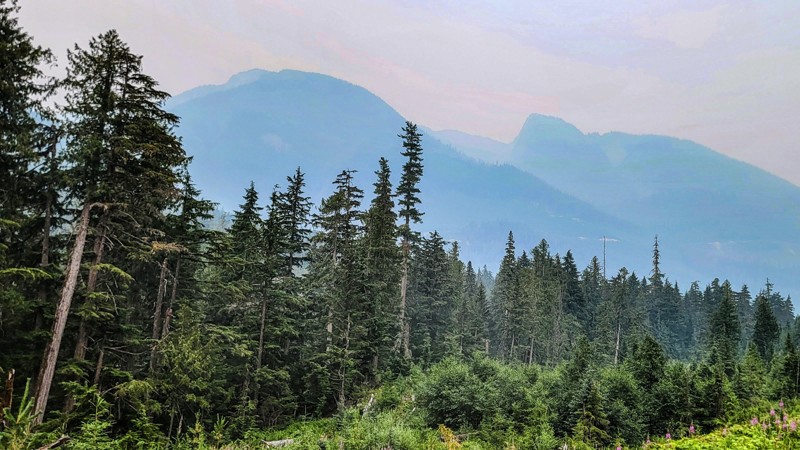
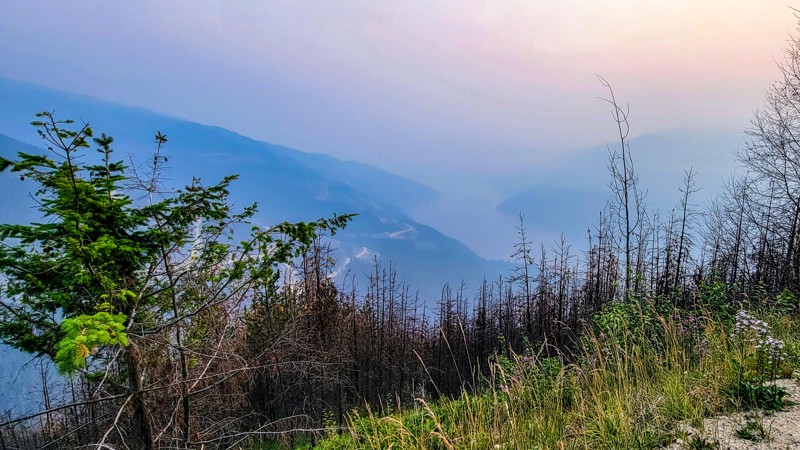
There was a forest fire far away, but the smoke filled the valley; always check fire reports before planning your route. I could tell the views would have been spectacular, but the smoke ruined them. ...
Matt T
Official Crew
Rated 2/5
Open
Visited: 07/14/2023
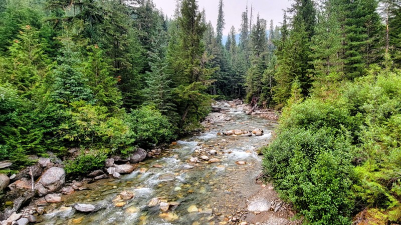
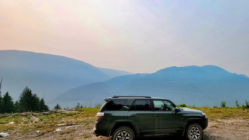
There was a fire far away, and the smoke filled the valley, so I didn’t get to see much along the trail. I don’t think I missed much, it was mostly the thick tree-lined road. The 2 or 3 viewpoints loo...
Matt T
Official Crew
Rated 4/5
Open
Visited: 07/14/2023
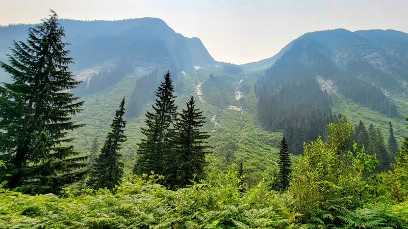
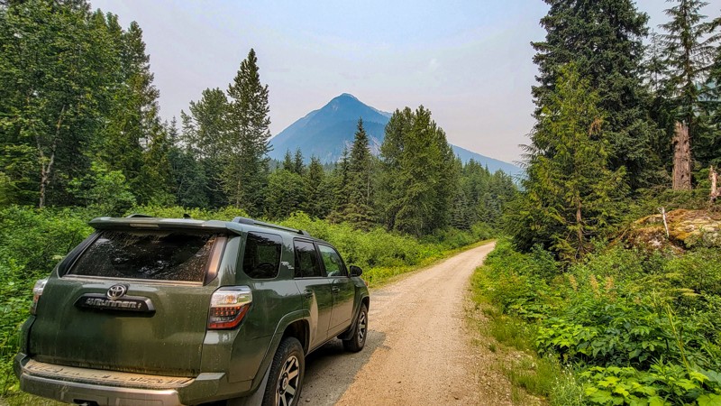
There was a fire over 100 miles away, and I choose a route away from the fire, but the smoke filled the valley. Always be sure to check fire reports in the summer before planning your route. It was st...
Matt T
Official Crew
Rated 4/5
Open
Visited: 07/11/2023
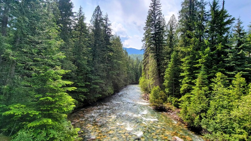
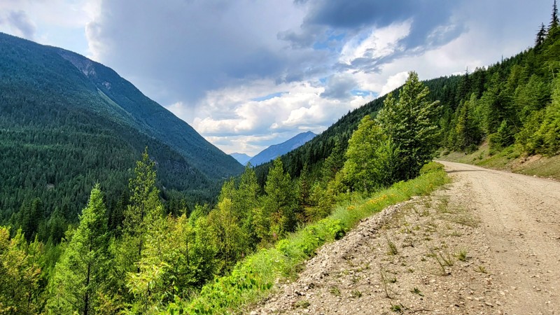
Along the trail, I didn’t see another vehicle the whole time on the road, and at the campgrounds, there were only two cars there. If you want a secluded camping experience, then this is the place for ...
Matt T
Official Crew
Rated 5/5
Open
Visited: 07/10/2023
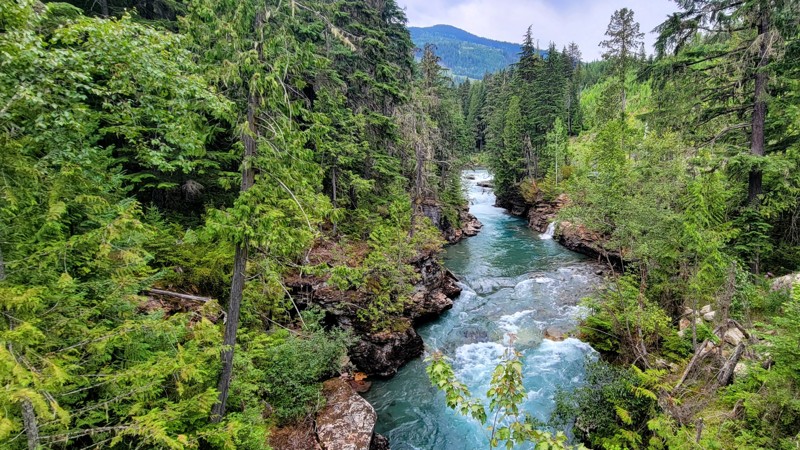
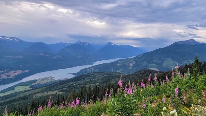
This was a nice and easy drive to some marvelous views of the snow-capped mountains and Arrow Lake, which is part of the Columbia River.
The wildflowers were in full bloom in a variety of colors alon...
Matt T
Official Crew
Rated 5/5
Open
Visited: 07/10/2023
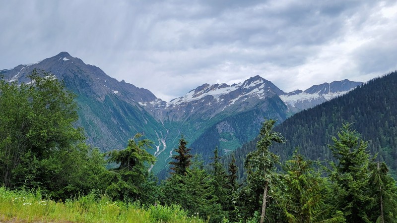
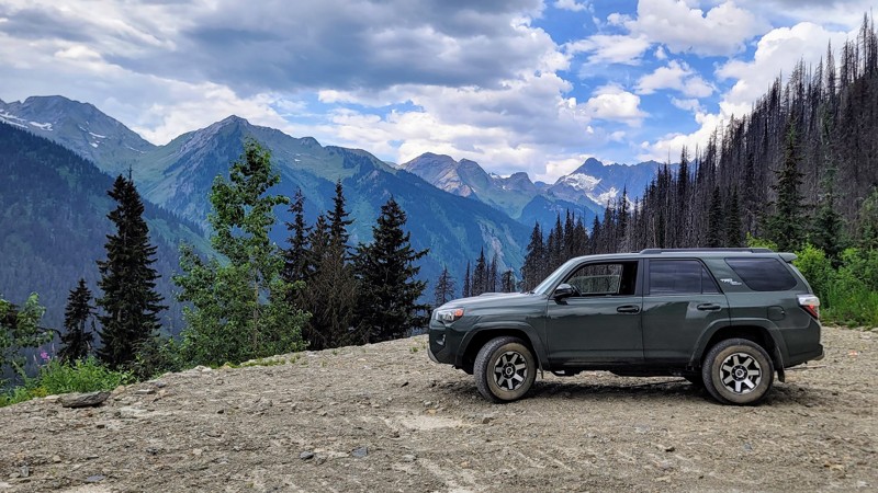
The last climb up the logging road is well worth it; the views of the glaciers and the river valley below are amazing! Do not follow the road past the GPX map; it’s a short logging road with some larg...
Matt T
Official Crew
Most Popular

Updated: 10/15/2024
Sol Mountain Road
Shelter Bay, British Columbia
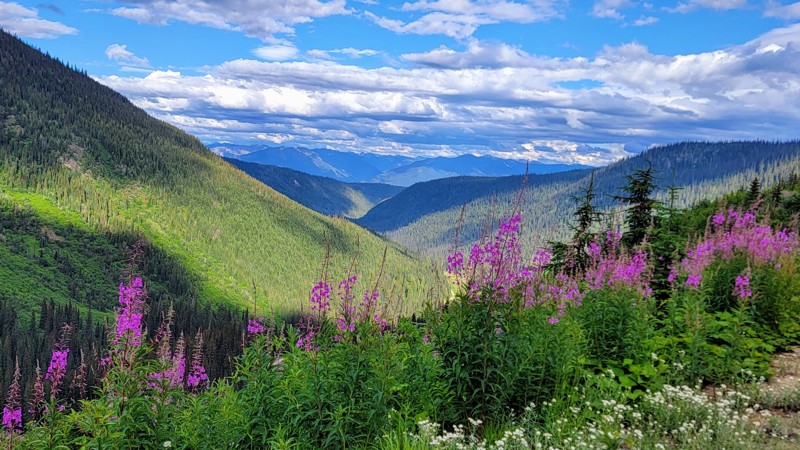
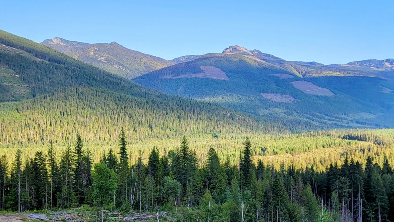
The trip to Sol Mountain is well worth the drive; along the way, there are some fantastic views of Upper Arrow Lake; the vivid blue water is truly remarkable! The last section goes through the Monachee Provincial Park and follows Fostall Creek, which is pretty nice too.
This is an active logging road, so watch out for trucks and always bring a two-way radio with you to communicate with other drivers on the road. Sol Mountain Road is primarily a single-lane road but is pretty wide at parts.
Stay on Sol Mountain Forest Service Road; other roads branch off the main one, but just follow the signs for Sol Mountain. Near the end of the road, you’ll come to a fork in the road; if you go right, that will take you to Sol Mountain, and if you go left, there is a short but very steep climb up to a ridge and what looked like an incredible place to camp. The drive is through Crown Land, so camping is free anywhere off the road, but there are no designated campgrounds along this trail.
The road is in pretty good condition, and it does get rocky at parts; 4x4 is nice to have but not necessary unless you want to do the short climb on the left fork.
Updated: 10/15/2024
Three Valley Mable Road
Taft, British Columbia
Three Valley Mable Forest Service Road is a snowmobile trail that is a wide two-lane road in most parts. The road travels through the Columbia Mountains along Mabel Lake and is an easy dirt road through Crown Land. Any 2WD vehicle should be able to make it. There are ruts in parts of the road, but it’s wide enough to avoid them.
Noisy Creek Recreation Site is a scenic campground on the northwest side of Mabel Lake. The fee is $15 per night. There are basic facilities, and campsites are right on the lake in the lush forest with mountains and trees as far as you can see.
Kingfisher, a nice camping and resort area, is the southernmost point on the trail. Mable Lake is very popular in the summer. This road can be busy. Be sure to carry a two-way radio with you.
Updated: 10/15/2024
Hidden Lake Road
Ashton Creek, British Columbia
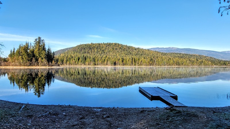
Hidden Lake Forest Service Road is a tree-lined dirt road through Crown Land. The main attraction on this trail is Hidden Lake, a small, beautiful lake with a little dock and boat launch. When the trees thin out, there are incredible views of Mira Mountain and the other surrounding mountains.
There are three campgrounds around the lake on the southwest, east, and north sides. These campgrounds have vault toilets. The campsites are pretty nice. They have tables, fire rings, and trees in between the sites. A few of the sites also offer fantastic lake views.
This is an active logging road, so beware of big trucks coming fast; it is a double-lane road, so two cars can pass each other. There are grapefruit-size rocks on the road, but the road is wide enough to avoid them easily.
Updated: 10/15/2024
Bobby Burns Road
Ashton Creek, British Columbia
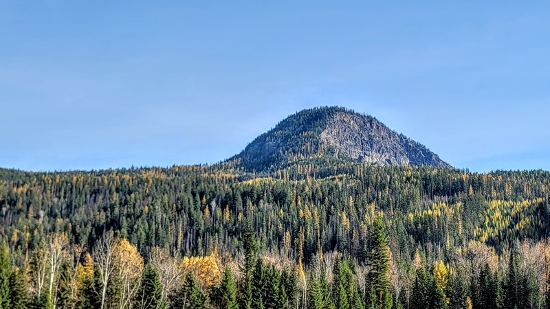
Bobby Burns Road is a thick tree-lined gravel road that offers mountain views and goes through Crown Land. It is an active logging road, so watch out for trucks and use a 2-way radio to call out your KMs as you traverse the trail.
There is a steep switchback hill, and whether you're going up or down, you'll get a great view of Mount Mara to the north and Mable Lake through the trees. The road is in pretty good condition. It is a wide two-lane gravel road with a couple of rocky sections. Any high-clearance vehicle can handle Bobby Burns Road.
The southern section of the trail travels around the north side of Bobby Burns Mountain. The area has several other cool trails, such as Hidden Lake Road and Baird Lake Road.
Updated: 10/15/2024
Stuart Forest Service Road
Killiney Beach, British Columbia
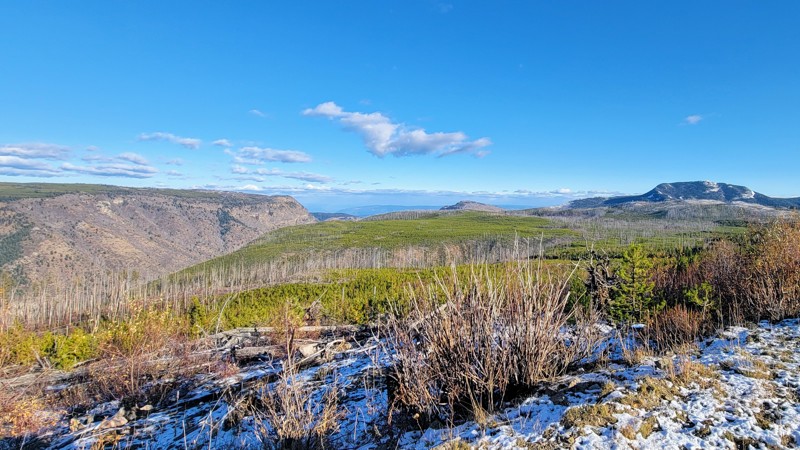
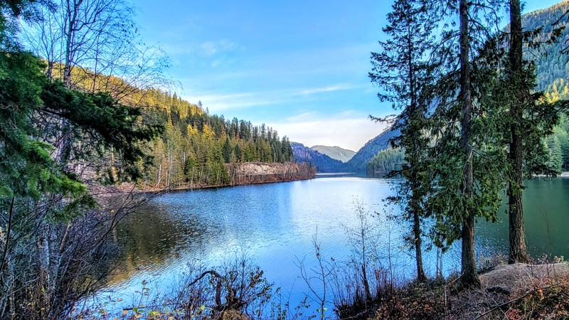
Stuart Forest Service Road is a pleasant drive through Crown Land and offers access to several small but lovely lakes and cool mountain views. Most of the trail is thickly lined with trees. However, the surrounding mountains are visible from several clearings in the trees. The views are amazing!
The road gets a little rocky towards the north, but the rocks are smaller than a golf ball, and towards the south, it's a gravel road. 4WD isn't needed, and high clearance is probably not necessary either.
The trail passes several lakes, including Sandberg, Stuart, and Esperson. Both Sandberg and Stuart Lakes have campgrounds, although, at Sandberg Lake, there are only a couple of campsites. These are dispersed campgrounds with a fire ring and no other facilities.
Stuart Road is part of an extensive backroads trail system and connects with many other roads, including Whiteman Creek, South Whiteman Creek, and Bear Lake Main Roads.
Updated: 10/15/2024
Creighton Valley Road
Blue Springs, British Columbia
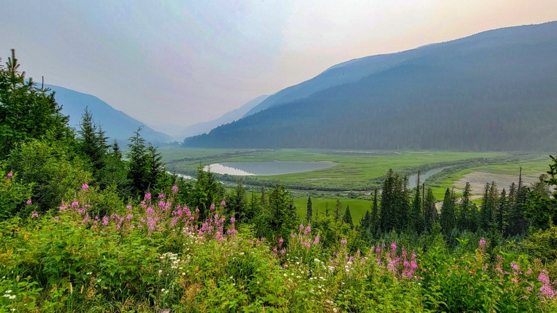
Creighton Valley Road is a gravel road to Echo Lake Provincial Park. There is a boat launch, day-use areas, and beaches, but no camping here. Echo Lake is a pristine lake surrounded by trees and mountains. This lake is a popular destination for water activities. It can get crowded during the summer. You’ll also pass Barbe Lakes just to the west of Echo Lake. These are two very tiny lakes.
The trail runs through Crown Land. It is a wide double-lane road. Any vehicle can handle this, and high clearance is not necessary. An offshoot towards the trail's east end runs along Echo Creek and offers superb views of the surrounding mountains and forests.
Updated: 10/15/2024
Seymour River Road
Seymour Arm, British Columbia
Seymour River Forest Road is a dirt track through Crown Land. The road goes through the Upper Seymour River Provincial Park. A thick cedar-hemlock forest lines the single-lane road. The road is in good condition with a few rough spots, but a 4x4 is not needed. Any high clearance vehicle can make this drive.
This trail can be accessed by the Gorge Forest Road if you're coming from the east or Ross Creek Forest Road from the west.
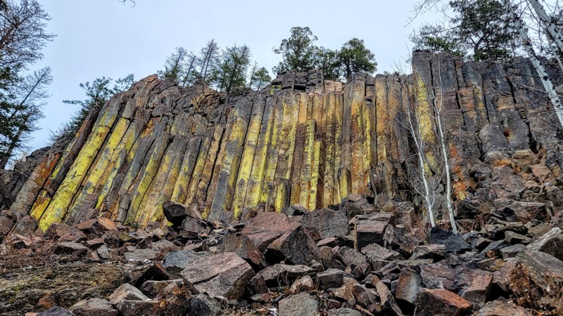
The road runs along the Seymour River, and when you get to higher elevations, the views of the river valley below are remarkable! There aren’t many clearings in the thick trees and vegetation, so take advantage of the few viewpoints that exist. At the end of the trail is a little trickling waterfall and a trailhead for backcountry hiking and camping. At the waterfall, the road is blocked off for motorized vehicles.
Updated: 10/15/2024
Buck Hills Forest Service Road
Lumby, British Columbia
Buck Hills Forest Service Road is a gravel road that gets rocky at points, but 4WD is unnecessary. Any high-clearance vehicle can easily traverse this trail. This trail runs through Crown Land and has two nice lakes, both with recreation sites and primitive campgrounds.
Nicken Lake is the larger of the two lakes, and Goat Mountain Lake is to the east. Nicken is a wooded lake with two campgrounds, one at the northwest end and one at the east end of the lake. The individual campsites are very secluded, with trees and thick vegetation in between the sites. Both campgrounds are free and have vault toilets. Some of the campsites have lake views and access.
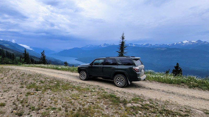
This trail provides access to the Aberdeen Columns hike, a short, steep uphill hike. The Columns are polygonal basalt originating from volcanic activity, rising to about 22 meters (75 feet) from the ground. They have a greenish color.
To access Buck Hills Road, you must take Aberdeen Lake Road, south of Lavington, BC. If you take the turnoff near the trail's western end, you can get down to Aberdeen Lake, which is a larger and scenic lake.
Updated: 10/15/2024
Crawford Road
Greenslide, British Columbia
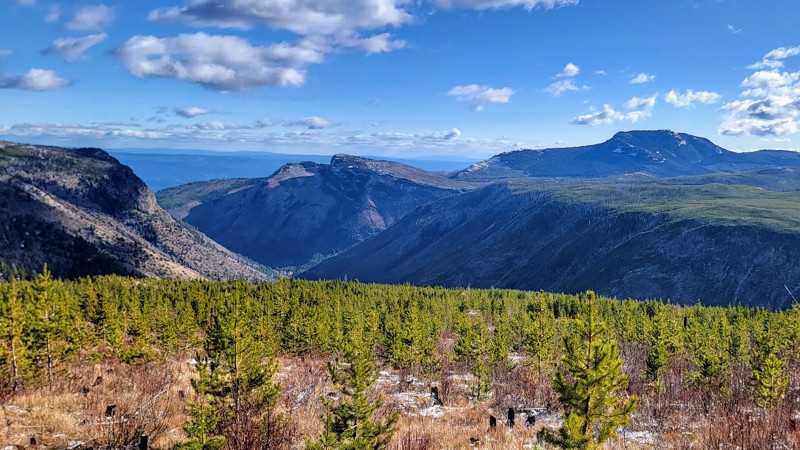
Crawford Forest Service Road is an easy dirt road through Crown Land and offers stunning views of Upper Arrow Lake and the glacier valley below. The first section of the trail is a tree-lined single-lane road that follows the Akolkolex River. To access this trail, you’ll need to start on the Akolkolex Forest Service Road, which is a pretty cool drive also.
About three miles (5 KM) into the road is Akolkolex Falls Recreation Site with a short hike down to a viewpoint of the falls and a longer hike around to reach the main view of the falls. After the falls, the climb starts on a steep switchback road, but it's not very challenging.
Along the climb, stop and admire the remarkable views of the surrounding mountains and glaciers. The road ends at McCrae Lake Recreation Site, which is a two-mile (3.2 km) hike each way.
Updated: 10/15/2024
South Whiteman Creek Road
Killiney Beach, British Columbia
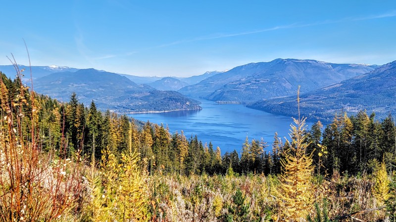
South Whiteman Creek Forest Service Road is a rocky trail through Crown Land alongside the tree-lined creek of the same name. Although the trail is rocky, they’re all small rocks about the size of golf balls, so 4WD is not necessary, just a high-clearance vehicle.
There are spectacular views of The Fintry Gorge, which is a national protected area. The jagged peaks that surround the gorge offer incredible landscape scenery.
This trail intersects other great trails in the area, including the main Whiteman Creek Road to the east and Stuart Road to the west.
Updated: 10/15/2024
Baird Lake Road
Hupel, British Columbia
Baird Lake Road is a well-maintained dirt road that can get slightly rocky, but any vehicle can make it. 2WD or high clearance is not needed. The trail runs through Crown Land, and there is one place to camp. Baird Lake Recreation Site features the very small and wooded Baird Lake. They only have vault toilets. There is no fee to camp here.
The turnoff to the southeast offers a spectacular view of Mabel Lake and the surrounding mountains. Most of the trail is lined with thick vegetation and trees.
To reach Baird Lake Road, you must take either Hidden Lake Road or Hidden Toledo Road towards the south.

Upgrade your Membership
Unlock all of the details on every Trail Guide and Scout Route.
Start a 7-day Free TrialBrowse Trails in British Columbia by City
Browse every British Columbia city with offroad trail guides.
Community
Partners

