


By clicking "ACCEPT", you agree to be the terms and conditions of each policy linked to above. You also agree to the storing of cookies on your device to facilitate the operation and functionality of our site, enhance and customize your user experience, and to analyze how our site is used.
Nevada Off-Road Trails
93
Total Trail Guides 87

987
Detailed Waypoints 106
Try a Free 7-Day Trial and unlock it all
Start a Free Trial Most Recent Trail Reviews
Rated 5/5
Open
Visited: 07/06/2026
Really Rocky Road - Lift Kit recommended
EC
Edgar Carrillo
No Rating
Open
Visited: 06/29/2026
Joined this at Waypoint 12 of Potosi Pass Road. This isn’t a trail; it’s a four lane wide, mostly gravel, well graded, racetrack. Watch out for locals running at high speeds. It’s worth taking it t...
KN
Karen Nowak
No Rating
Open
Visited: 06/28/2026
Have done this route before and the problem with Google sending you off course to get to the trailhead off Highway 160 has been solved. It now finds the Potosi historical marker and its attendant le...
KN
Karen Nowak
Rated 5/5
Open
Visited: 06/21/2026
pretty easy trail with really awesome camping opportunities!
AK
Abby Kersey-Mendez
Rated 5/5
Open
Visited: 05/31/2026
harder than we expected. drove a jeep gladiator for the first time. we got through it but the end was a bit dicey.
AK
Abby Kersey-Mendez
Open
Visited: 05/25/2026
When hiking, watch out for the Cholla cactus and its spines. These are no joke. The microscopic thorns fishhook-like barbs that are very difficult to remove and even stick to your hands when trying ...

Robert
Official Crew
Rated 5/5
Open
Visited: 05/24/2026
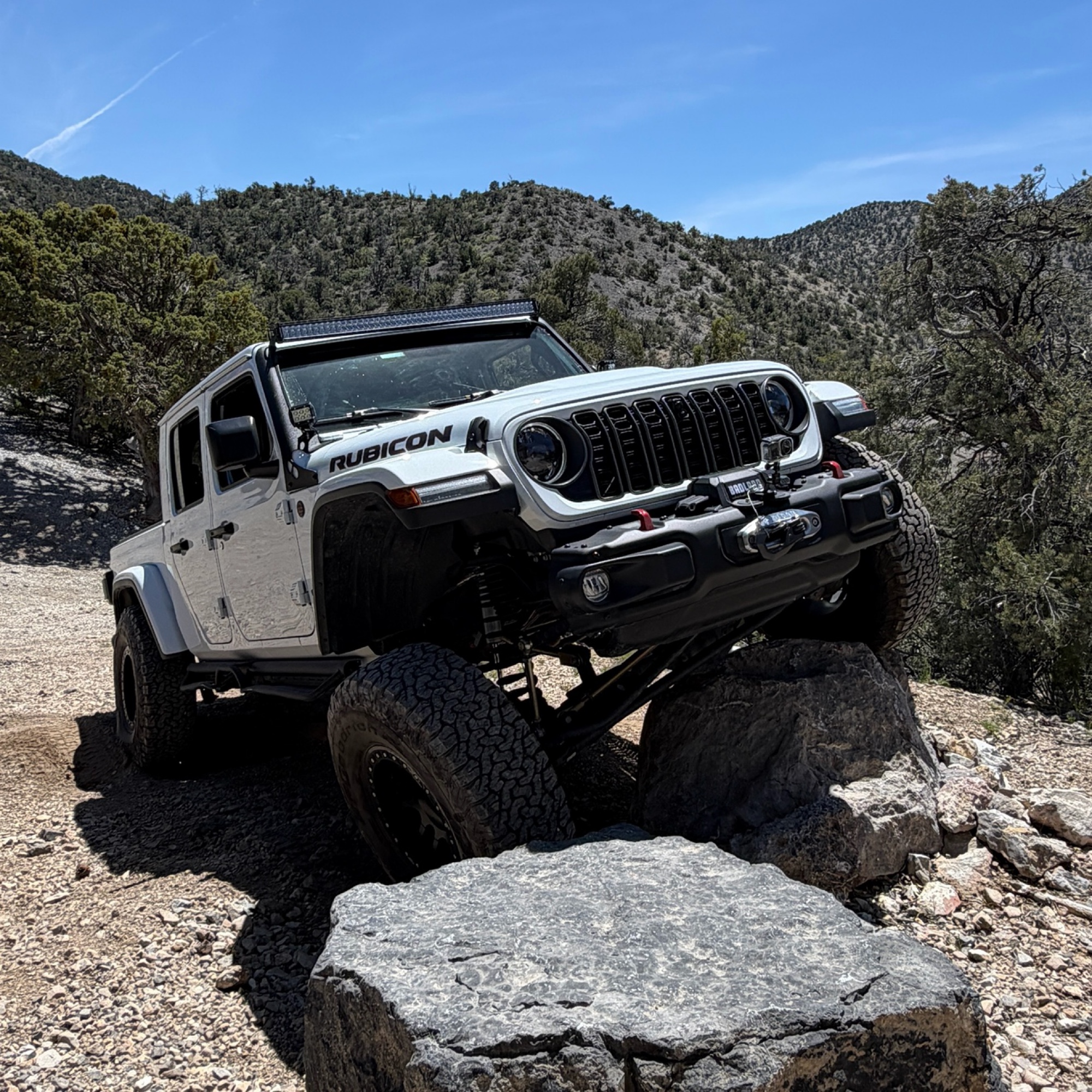
Completed this trail in my Gladiator Rubicon with a 2" lift and 35" tires. It was a pretty easy trail and found the rock Garden a nice challenge and had no problems getting through it. The trail was v...

PBenn
Rated 5/5
Open
Visited: 05/23/2026
We used High Rock Canyon Road to reach the northern entrance of the High Rock Canyon Trail, and it was a great way to kick off the adventure. While the road isn't particularly difficult, the sweeping ...

Rose Meirs
Official Crew
Rated 5/5
Open
Visited: 05/23/2026
We tackled this trail with a group of six Jeeps and a Colorado ZR2 Bison, and while the route is not particularly difficult, it delivers plenty of adventure along the way. Expect narrow sections where...
Rose Meirs
Official Crew
No Rating
Open
Visited: 05/22/2026
Ran this trail from west to east. The turn off from Sandy Valley Road is easy to miss. The whole area is rich in mining history so it’s interesting to explore.
KT
Ken Turzinski
Rated 5/5
Open
Visited: 05/18/2026
Our group used Soldier Meadows Road as the gateway to our basecamp and as the main route for exploring the incredible Black Rock Desert and High Rock Canyon region. Be prepared for plenty of washboard...
Rose Meirs
Official Crew
Rated 5/5
Open
Visited: 05/18/2026
I chose this trail as our base camp and staging area for a Memorial Day weekend adventure exploring the Black Rock Desert and High Rock Canyon. It turned out to be the perfect spot for our group, acco...
Rose Meirs
Official Crew
Rated 5/5
Open
Visited: 05/18/2026
Glad to see this trail open again! Ran in about 3 hours and thoroughly enjoyed it.
Trail will be closed again September 2026 for further repair, so get out there while it's open!

Danny Britton
Rated 4/5
Open
Visited: 05/18/2026
Definitely want to air down for this trail just to make it a bit smoother it is very bumpy. A couple spots that are a bit more technical than expected.
Eric
No Rating
Open
Visited: 05/10/2026
Road is finally open, but is scheduled to close again in October for further repairs.
Ryan Boudreau
Official Crew
No Rating
Open
Visited: 05/08/2026
The trail starts off great with some easy driving and amazing views. Unfortunately about a couple of miles from the reservoir there is a technical section of big rocks that require high clearance and ...
KB
Kevin Bigley
Rated 5/5
Open
Visited: 05/08/2026
Quiet and refreshing off-road trail with many secluded dispersed campsites nestled among mature trees. Several sites offer stunning canyon views, and we were lucky enough to camp at an incredible over...
M
MomiLog
Rated 5/5
Open
Visited: 05/05/2026
I ran this trail from Sandy Valley to the 160. The road is tough to locate from that end as it starts under some powerlines and is not marked. It starts as a narrow two track road through a Joshua T...

Jeff Van Es
Rated 5/5
Open
Visited: 05/05/2026
This is a fun little trail that gets you from Goodsprings to Sandy Valley. The beginning and end of the trail are wide, graded dirt roads. The middle section narrows down and gets rocky with a few o...
Jeff Van Es
Rated 2/5
Open
Visited: 05/05/2026
I took Sandy Valley road from the end of Kingston Road over to Potsi Pass. This really isn't a trail, it is a wide, well graded road that bypasses the paved road through town. I gave it a two becaus...
Jeff Van Es
Rated 5/5
Open
Visited: 05/05/2026
I ran Cottonwood Pass from north to south. This scenic trail begins just off Highway 160 (Pahrump Valley Highway), where you’ll find a parking lot with a vault toilet at the trailhead. It’s a good pla...
Jeff Van Es
Rated 5/5
Open
Visited: 05/03/2026
This is one of the best local trails in southern Nevada. Mountains, rock gardens, and beautiful scenery is what 4 wheeling is all about on this trail. The optional rock gardens let you make this trai...

Bill
Rated 3/5
Open
Visited: 04/27/2026
Very easy trail. I ran it backwards and at the beginning lots of trash but when you get into the trail more it has some nice views
Eric
Rated 5/5
Open
Visited: 04/21/2026
Estuvo genial mi hija se está enseñando a manejar en esos lugares
Los Jeep Brothers
No Rating
Partially Open
Visited: 04/19/2026
There is a detour that won’t let you follow the trail exactly between 6-10. The main one is clearly marked the rest are smaller and can be missed. Having the app open was a huge help as I was able to ...
Dror Nisenbaum
No Rating
Open
Visited: 04/16/2026
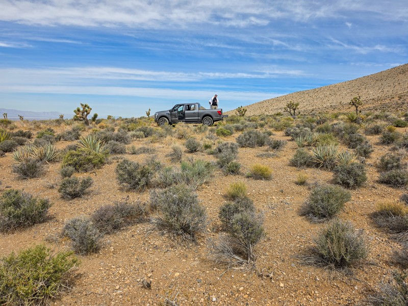
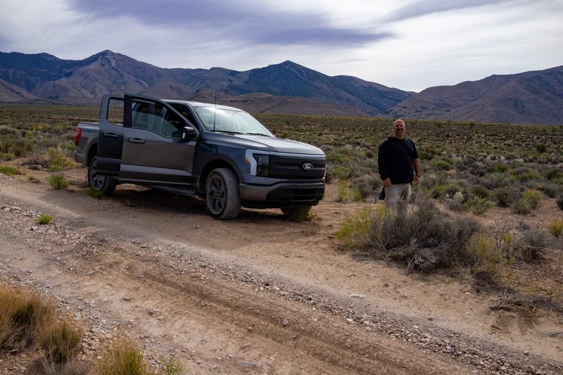
Harder in some places than this review shows. With a stock AWD Ford 150 Electric, I was fine. It has 9" clearance. But not just a dirt road. Depending on which way you take heading down after the pass...

Ron Kardos
Rated 2/5
Open
Visited: 04/15/2026
Not much of a canyon, more of an up and over a mountain. A few small obstacles but nothing difficult. Trail is ROUGH! If slowly driving along a constant trail of rocks is your thing, this is for you. ...

dave jordan
No Rating
Open
Visited: 04/05/2026
I did this trail after camping on Sunrise Pass Road the night before. The trail itself is open and was super fun but I would heed the intermediate rating on this trail as the few miles of rock section...
KC
Kevin Connors
No Rating
Open
Visited: 04/04/2026
This pushed my skill level and comfort a bit. Went with a good group so helped a ton. Even with my lift I still bottomed out on some spots. I would say 3.5” and 37s would be better.
Dror Nisenbaum
Rated 3/5
Open
Visited: 04/04/2026
Not much to report. Boring connector to Mormon Wells Rd.
Lee
Rated 5/5
Open
Visited: 04/04/2026
great trail, went all the way out to the end of the trail and camped overnight. weather was excellent trail was as easy as described. there are areas where there were recent fires and the forest manag...
KC
Kevin Connors
Rated 4/5
Open
Visited: 04/04/2026
Air down just off 93 at the Desert national wildlife refuge sign. Lot's of spring flowers are blooming. love the change in altitude and flora. The rise to 6,300 and the decent. I have done this trail...
TR
Tim Ritchie
Rated 3/5
Open
Visited: 03/31/2026
Time to update the trail rating. It’s no longer a 3, more like a 5, close to a 6. About 5 miles from the cove the canyon is significantly washed out with large boulder drops. Getting up to that point ...
Tyler D’Hulst
No Rating
Open
Visited: 03/21/2026
Agree that the “mandatory rock garden” section doesn’t rate a 5, it’s more like a 4 rating. That said, the optional lines in the wash are where this trail really shines. Several obstacles are solid ...
Ryan Smith
Rated 5/5
Partially Open
Visited: 03/19/2026
The trail was pretty easy and fun until you turn to the road to Angel Peak. There were a couple of obstacles that were optional but the steep hill at the end is definitely. There is many loose rocks a...
J
Joseph
Rated 5/5
Open
Visited: 03/17/2026
We did a ladies only run and camped overnight. Trail is in good condition and stock 4x4 will have no problem. No one was out here and it was glorious!
@addicted2nomad
DA
Deb Andrews
Rated 3/5
Open
Visited: 03/05/2026
I drove down Boxcar Cove Road to the water’s edge at Lake Mead. This is the sister trail to Crawdad Cove Road, and both start from the same turnoff from Northshore Road. The route is a well-maintained...

Jeff Van Es
Rated 3/5
Open
Visited: 03/05/2026
I drove down Crawdad Cove Road to the water’s edge at Lake Mead. The road is a well-maintained gravel road with light washboarding in a few areas. I was driving my Toyota Highlander and averaged about...
Jeff Van Es
Rated 4/5
Open
Visited: 03/03/2026
I’m a little confused how this is given a minimum rating of 5 - it’s ridiculously easy. Even in my long wheel base Gladiator the rock garden was easy to navigate.
By Las Vegas standards, it’s a fair...
Sean LARA
Rated 5/5
Open
Visited: 03/01/2026
The majority of the trail is easy. There are a few spots that require some attention to detail, but not many. The way points are not in the right locations and the "rock gardens" really aren't as iden...
JN
Jay North
No Rating
Open
Visited: 02/24/2026
Not even a real trail. More like a dirt road any old 2WD can do. Super easy and fenced in! No turnouts to challenge you. Nice views!
MB
Michael Burk
ME
Mark Edward Shockey
No Rating
Temporary Closure
Visited: 02/18/2026
We looked at the trail from the east end where the closure is. The park service reports that they have to do significant roadbuilding in the canyon for this to get reopened and they don't expect it t...

Douglas Van Bossuyt
Official Crew
Rated 5/5
Open
Visited: 02/18/2026
This is a great little connector between Rhyolite and Beattey. The trail is more difficult than the rating because of a washout or two which requires getting off the railbed to get around.
Douglas Van Bossuyt
Official Crew
Rated 5/5
Open
Visited: 02/17/2026
Really a fun trail. You get up over 6300 feet and some beautiful rock formations. High enough for us to get into snow. Took 3 hours total from Mesquite. You can also run Bunkerville Ridge slot can...
JS
Jeff Swartz
Rated 5/5
Open
Visited: 02/15/2026
Excellent short trail. Took me roughly 45 minutes to run through it. Had no issues except for the second waterfall where the 4 foot climb was too steep an approach angle for my front bumper. Had to ...
MA
Mark Amey
No Rating
Open
Visited: 02/14/2026
Easy trail with interesting mountain views and a view of the strip at the end. Mostly gravel with a few little washouts and rocks to keep things interesting. Besides upgraded off road tires I would do...
JB
John Bonnier
Rated 4/5
Open
Visited: 02/08/2026
We did a ladies only run from the west side to the peak. After passing the well, the trail was a single track and a bit rough. If you don’t want to do that route, there is a bypass road before the wel...
DA
Deb Andrews
Rated 5/5
Open
Visited: 02/07/2026
Fun trail, scenic, some nice twists and leans (25%) to on the first set of obstacles. The exit since the picture was posted has eroded quite a bit and had my Jeep leaning 35-38% into it and some of t...
Dror Nisenbaum
Rated 4/5
Partially Open
Visited: 02/07/2026
Trail is fairly graded up until the one climb which is decently steep with loose gravel and some ledges. My gladiator took it like a champ but a f150 that was with us couldn’t make the climb and was s...
Dror Nisenbaum
Most Popular


Updated: 04/30/2025
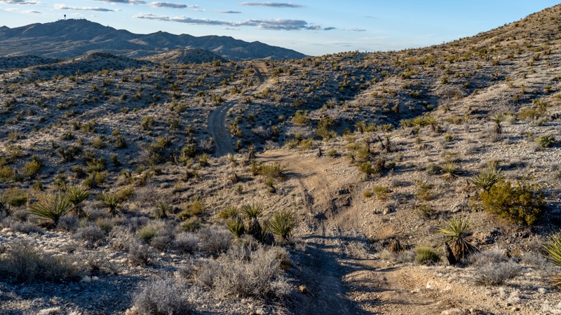
Rocky Gap/Potato Ridge Road
Open
/
Las Vegas, Nevada/
8.18 miles/
About 3 hours
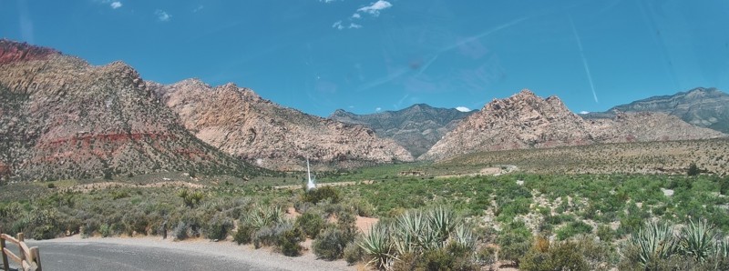
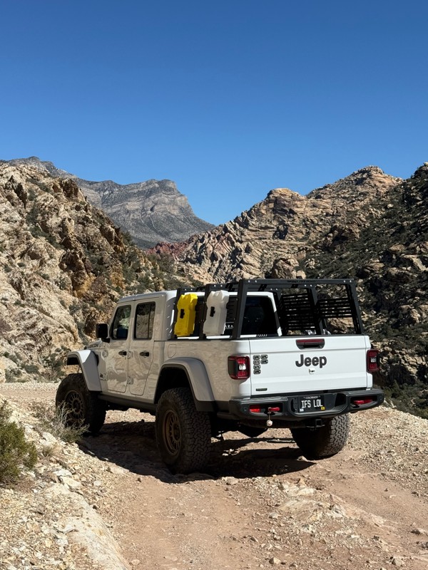
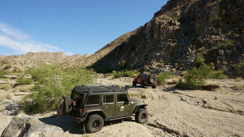
Rocky Gap (also known as Potato Ridge), a favorite of local off-roaders, is located in the Red Rock Canyon National Conservation area that starts just off of Scenic Loop Drive and continues to Lovell Canyon Road. This can be a challenging off-road trail depending on the season and the vehicle driven. There are bypasses for all of the obstacles except for one particularly rocky wash, which gives the trail its name. There is beautiful scenery to be seen during the drive. Evergreens, canyon and rocky landscapes are just some of the views.

Updated: 04/18/2024
Wheeler Pass
Partially Open
/
Las Vegas, Nevada/
26.25 miles/
About 3 hours
Wheeler Pass is located approximately 50 miles Northwest of Las Vegas in the Spring Mountain National Recreation area. Wheeler Pass Road was previously known as the road from Bennett's Ranch to Indian Creek. Bennett's Ranch was settled in 1875 in the Pahrump Valley. Indian Creek was a ranch owned by a small group of Indians. Now known as Indian Springs. Its history includes being a station on the Tonopah and Las Vegas railroad. Currently, it is part of the Creech Air Force base.
As you travel towards the trailhead, you may encounter wild horses on the roads and the surrounding areas.
On the trail, travelers will pass the Charcoal kilns. The Tecopa Charcoal Ovens in Wheeler Wash were built in 1875 by Nehemiah (“Red”) Clarke. Per information on a sign posted at the site in the past: These beehive-shaped structures are the remains of three charcoal making kilns and one Lime Kiln built for Jonas Osborne in 1877. He designed and built a big furnace to smelt over 20 tons of silver and lead ore each day in the boomtown of Tecopa, California in January of 1878. Forty-four men attempted to keep the furnace working by cutting and hauling the ore, and feeding and constantly repairing the furnace. It completely failed and was abandoned in the fall of 1878.
As this area of the Spring Mountains had the best and closest source of wood, the kilns were set up here and the charcoal produced was carried by horse-drawn wagons about 50 miles to the Tecopa Smelter. Evidence shows only tree limbs were cut in fuel and no extensive tree cutting was done. A single kiln has an estimated capacity of 35 cords of wood which would produce 50 bushels of charcoal, enough charcoal to produce one tone of silver-lead ore. Wood for the kilns was provided by Harsha White, who operated a sawmill in Clark Canyon, and was in partnership with Nehemiah Clarke. Unfortunately, the kilns have not been able to withstand time, weather, and vandalism. The remnants can still be seen.
Don't forget to bring sunscreen, water, snacks and your camera.

Updated: 07/10/2024
Bitter Springs Backcountry Byway
Open
/
Las Vegas, Nevada/
26.17 miles/
About 3 hours
The Bitter Springs Backcountry Byway is a great overland-style trail east of Las Vegas and west of the Valley of Fire State Park. The 26-mile byway connects Interstate 15 to North Shore Road by following old mining roads and washes through the Muddy Mountains. History buffs and geology lovers will enjoy the area, which has multicolored sandstone formations known as the Buffington Pockets, natural springs, small water holes, petroglyphs, and pictographs. Tracks from the Old Spanish Trail, a path created by Spanish explorers in 1776 and later by settlers and miners heading west, can be seen crossing the landscape. Over the decades, as settlers put down roots in the area, mining ventures followed with old borax mines dotting the area where sandstone was quarried. There are plenty of extraordinary views and landscapes to be seen along the Bitter Springs Backcountry Byway, along with great dispersed campsites for extending your adventure. Wildlife in the area includes wild horses, bighorn sheep, birds of prey, and numerous reptiles. Bring your camera, sunscreen, and LOTS of water. Nearby is the Valley of Fire State Park, which has its own scenic views, campgrounds, and facilities.

Updated: 02/20/2024
Tie Rod Canyon
Las Vegas, Nevada
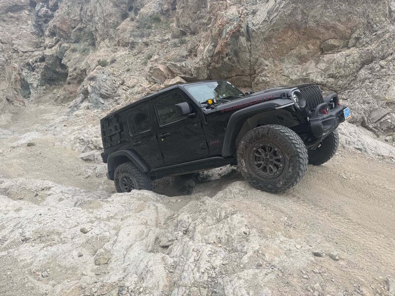
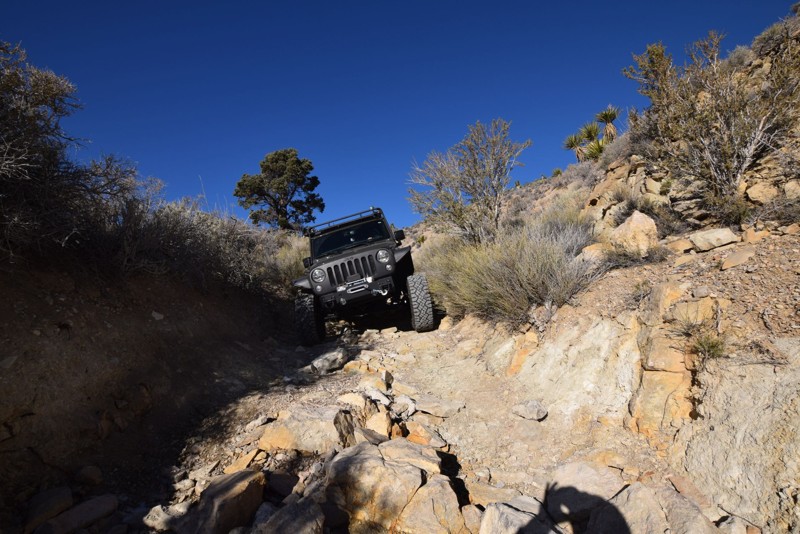
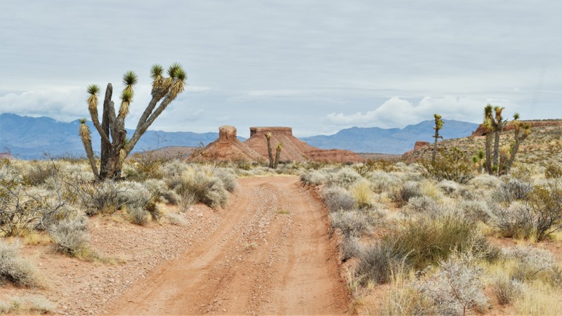
Tie Rod Canyon is a popular rock crawling trail located very close to Las Vegas. The trail travels from the flat desert area south of the city over a mountain pass and eventually down through a pretty challenging canyon. The trail can be run in either direction. The way the trail is presented here would be the easiest direction but still difficult for stock vehicles. The main obstacles you do encounter along the way are vertical and deeply undercut ledges with large boulders mixed in. To step up the difficulty even more, run the trail in reverse and do all the optional side trails along the route. Either direction you choose to run the trail, you're sure to find something that will challenge your modified vehicle.

Updated: 11/11/2024
Potosi Pass
Las Vegas, Nevada
Traveling through the scenic Spring Mountains and into the lowland of the Mojave Desert, Potosi Pass Road is a popular recreation area and a relaxing mountain drive through some of the oldest mining history in Nevada. Located less than an hour from Las Vegas, Potosi is a former lead mining district started by Mormon Missionaries in the mid-1850s. The mines were abandoned by the Mormons in 1857, and in 1861, the mines were once again reopened by California Mining interests. During World War 1, the area was an important source of zinc. Today, the trail rewards you with spectacular mountain views, rich desert vegetation, sheer cliff walls, and panoramic sights.

Updated: 05/28/2024
Burro Wash Road
Boulder City, Nevada
Burro Wash, located just south of Boulder City, is a popular 4x4 trail that splits two wilderness areas, travels through a narrow canyon with beautiful rock walls, and ends at a cove along the Colorado River. This rugged trail offers stunning views of the Mojave Desert and the surrounding mountains, including Black Canyon. Along the drive, you'll see unique geological formations, desert flora, and possible wildlife, such as big horn sheep. Burro Wash is great any time of the year, but particularly during the summer when it can be used as a getaway from the heat for relaxation and water activities. Gather your food, drinks, shade tents, trunks, and inflatables, and take this spectacular drive down to the river for a full day of fun.

Updated: 03/06/2024
Gold Butte Backcountry Byway
Mesquite, Nevada
The Gold Butte Backcountry Byway offers a glimpse into Southern Nevada’s most beautiful landscapes and the history of the Anasazi and Paiute Indians, as well as early American Miners. The Gold Butte Backcountry Byway is built from historic mining roads and cattle trails that wind its way through the hills and washes of the Gold Butte country. You'll enjoy some great views and plenty of opportunities to see desert wildlife, ancient petroglyphs, sinkholes and red and white sandstone formations with Lake Mead and the Muddy Mountains off to the west.

Updated: 03/17/2024
Alamo Road
Open
/
Las Vegas, Nevada/
26.57 miles/
About 2 hours
A nice trail drive-through allows the driver to experience the desert scenery in the National Desert Wildlife Refuge, just outside of Las Vegas. Multiple opportunities exist to explore other trails going into the canyons and mountains, making this an excellent area for a weekend getaway. Because there is unrestricted camping in the area, it is a great place for campers to get to higher elevations to decrease/escape the heat from the Vegas Valley.

Updated: 04/22/2024
Logandale Main Loop 01
Logandale, Nevada
Similar to the red rocks of Moab and Sand Hollow, Logandale Trails is a four-wheeler paradise on a smaller scale. Logandale is located in the Moapa Valley of Nevada, about an hour northeast of Las Vegas. The 21,000-acre trail system is a multi-use park with numerous diverse trails and exceptional interpretive sites, all maintained by local volunteers. While easily traveling through towering red rock canyons, you'll have endless options for a truly epic campsite. The southern boundary is The Valley of Fire State Park, so the natural red Aztec sandstone rock formations are found throughout the OHV park, beginning right at the trailhead. The main loop presented here is an effective way to experience this unique region, view numerous petroglyphs, or connect with just about every trail within the park.

Updated: 05/17/2024
Oro Plata Mine
Open
/
Nelson, Nevada/
3.17 miles/
About an hour
In 1775, the Spaniards discovered gold in the hills southeast of modern-day Las Vegas and titled the area Eldorado. By the late 19th and early 20th centuries, this area turned into a bustling hub of mining activity and became known as The Eldorado Mining District. In the heart of this district, surrounded by dormant remains of once-prosperous mines, the Oro Plata Mine trail travels through the harsh Mohave landscape, revealing several of these long-lost camps. Along the way, you will relive the tough conditions once traveled by old miners as you travel up a narrow wash and encounter rock ledges, small boulders, and plenty of mining relics. Linking this trail with others in the area can make for an entire day of exploration of Nevada's mining past.

Updated: 09/24/2024
Titus Canyon Road
Beatty, Nevada
Titus Canyon Road is a spectacular off-road trail within Death Valley National Park guaranteed to please. It is no wonder this one-way trail attracts thousands of globetrotting visitors each year. The 27-mile long road plunges visitors into fossil-rich canyons, over mile-high passes on rocky shelf roads, through a ghost town, along petroglyph-filled walls, and culminates in the grand finale. Titus Canyon Road shrinks to one vehicle-wide and takes the driver and passengers through a 1.5-mile twisty bobsled-like run through its Narrows before dumping everyone out into a wide vista of northern Death Valley. This gem of a trail is truly one of the most satisfying roads in southern California and is on par with many of the iconic trails in the United States.

Updated: 06/23/2024
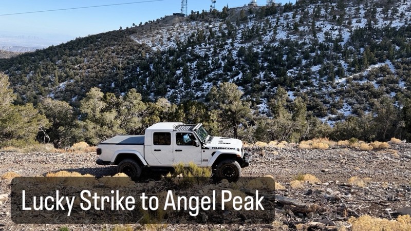
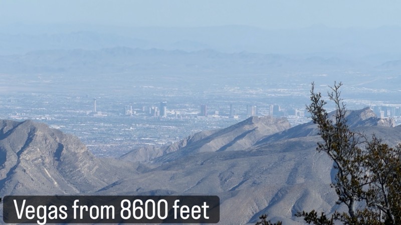
Lucky Strike Mine Road to Angel Peak
Las Vegas, Nevada
A nice relaxing off-road trail ride through the Lucky Strike Canyon located in the Red Rock Conservation area for the first few miles, followed by a more challenging climb on a rocky trail to Angel Peak. Spectacular views of the surrounding valleys. This trail is for those who enjoy views from higher elevations. The trail is a great way to escape the Las Vegas heat during the summer.

Updated: 11/19/2023
Mormon Well Road
Las Vegas, Nevada
Mormon Well Road is mostly a rough dirt road with stretches strewn with small rocks and gravel. The scenery will change from desert to mountain to canyons. The plant life varies from desert brush to Yucca trees to Pine trees. During the drive you will pass through Peek a Boo Canyon known for a window formed in the cliff wall. Yucca forest is another change of scenery to be seen during the drive. This a great drive to see the different desert landscape in the surrounding area and a place to escape the Vegas heat in the summer.

Updated: 05/14/2024
Kodachrome Road
Las Vegas, Nevada
Named after the old Kodak color film used in still photography, aptly named Kodachrome Road has some of the most colorful landscapes in Nevada. The unique geology in the region has a wide variety of different colored rocks and dirt that create a sand art bottle appearance. Located only minutes outside of the city, this popular trail is a quick escape from the hustle and bustle of Las Vegas without an all-day commitment. Connecting it with other trails within the Sunrise Mountain Special Recreation Area will make for a very colorful offroad day trip in the desert.

Updated: 12/03/2024
Lime Kiln Canyon
Mesquite, Nevada
Leaving civilization just outside Mesquite, Nevada, Lime Kiln Canyon is a scenic, rough, and rugged gateway into the Grand Canyon-Parashant National Monument. This trail leads into a very remote desert and canyon landscape that ascends steep, narrow paths flanked by towering sandstone cliffs and juniper-dotted plateaus. Lime Kiln Canyon is known for its dramatic geology, with layered rock formations and vivid colors reflecting the interplay of erosion and time. The area provides abundant outdoor recreation opportunities and is popular with all types of users, from off-roading to camping to rock climbing. This trail is remote, with no nearby services, so preparation is essential, but it rewards visitors with unparalleled access to the Arizona Strip and the Parashant's untouched wilderness, a haven for solitude and natural beauty.

Updated: 06/08/2024
Gass Peak Road
Las Vegas, Nevada
Gass Peak Road is a great day trip through the Desert National Wildlife Refuge with beautiful desert and mountain landscapes. This trail will loop behind the Gass Peak mountain range and finish in North Las Vegas with spectacular views the Vegas Valley and the world famous Las Vegas Strip. If one is inclined, there is an option to hike to Gass Peak, one of the highest summits in the Vegas area for a breathtaking view of Las Vegas. There is also an underground cave to explore if you are brave enough. Plenty of small wildlife to be seen while driving this trail. This is a fairly easy and relaxing trail ride on a mostly dirt and gravel road.

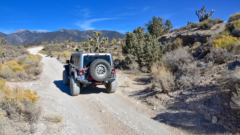
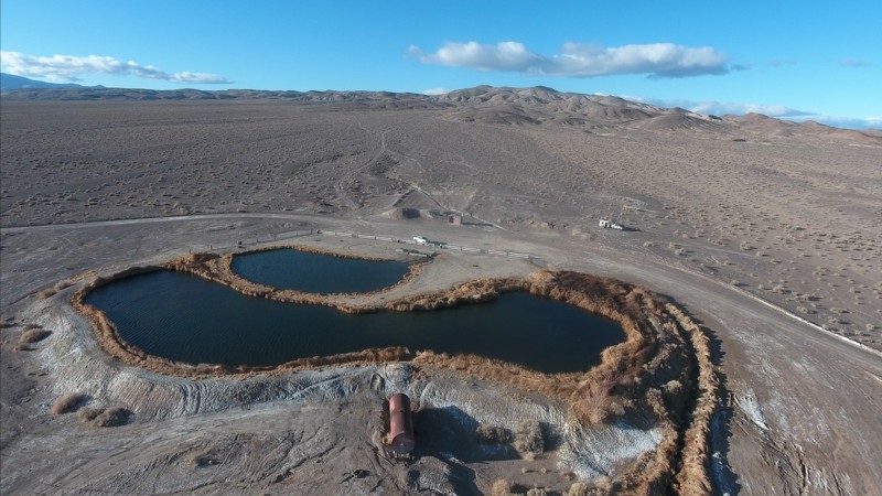
Updated: 05/20/2026
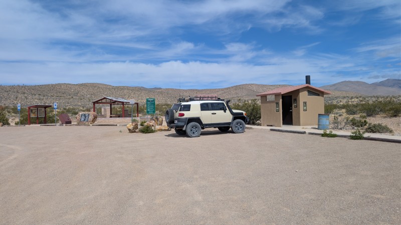
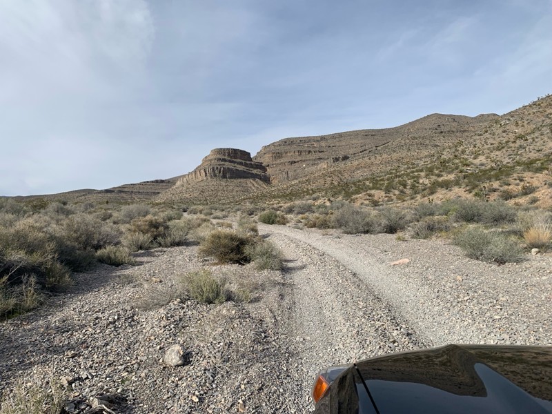
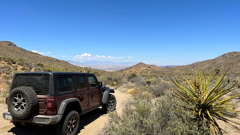
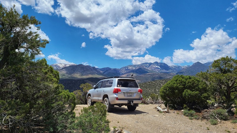
Cottonwood Pass
Mountain Springs, Nevada
Cottonwood Pass Trail will take you on a journey through the southern end of the Red Rock National Conservation Area, Toiyabe National Forest, Spring Mountain National Recreation Area, and BLM land that will have you knocking on the door of the Pioneer Saloon in Goodsprings, NV within a few hours. High clearance helps to maneuver through the rocks and seasonal washouts.
Two side trails to the east lead to high overlooks of the desert floor below, providing amazing views of Las Vegas in the distance. These are the best locations for camping on the trail. A rock fire ring is present for your use at both lookout areas.
While the Red Rock National Conservation Area's main scenic drive now requires a timed entry permit, Cottonwood Pass does not.

Updated: 07/03/2024
Old Spanish Trail
Las Vegas, Nevada
More than 150 years ago, the Old Spanish Trail was the main commerce route between Sante Fe, New Mexico, and Los Angeles. It passed through the Las Vegas Valley to take advantage of the natural springs, but today, there is very little left of the original route. In August 2001, three segments of the trail that ran through southern Nevada were placed on the National Register of Historic Places, marking the trail's historical significance. The northern section covered here, which is not recognized yet, is an excellent way to have an overlanding experience on a truly historic route. The trail travels from north Las Vegas all the way to the Valley of Fire Highway, accessing some remote and primitive camping along the way.
Updated: 05/17/2024
Nelson Roller Coaster
Nelson, Nevada
Trekking through the rolling hills of the Eldorado Mountains between Boulder City and Bullhead City, Nelson Roller Coaster is a heart-pumping offroad trail that features scenic views and non-stop adventure as you rise and fall and twist and turn through the remote landscape of southern Nevada. Aptly named, this trail takes you on a desert thrill ride through countless steep climbs and descents that will almost make you nauseous. Combine this short trail with numerous other trails in the area and enjoy an entire day exploring gold mining history dating back to 1775, when Spaniards originally discovered gold in these very hills.

Updated: 05/01/2024
Bunkerville Ridge
Mesquite, Nevada
Bunkerville Ridge, bordering the Grand Parashant National Monument, is one of the reasons why you purchase an off-road vehicle. Once a thriving mining district, the region found a resurgence as a popular OHV area. The trail has a beautiful mix of desert plant life, rocky landscapes, and points of interest that captivate everyone. There is an old water tank made to look like a steam locomotive. A natural arch is just a short walk from the trail. You can hike into a slot canyon with cascading waterfalls during the spring and early summer. Side trails lead to multiple old mine sites. You'll wind your way through a narrow canyon, climb steep hills, and ride along narrow ledges, all while enjoying spectacular views of the Virgin Mountains. Be sure to check this one out!
Updated: 06/05/2022
Lucky Strike Road
Las Vegas, Nevada
Lucky Strike Road is an off-road trail with a few four-wheel drive challenges at the beginning and at the end with a nice relaxing drive in the middle featuring fantastic views and multiple camping areas. A great choice to get away from the Vegas heat in summer and get closer to the snow in the winter.
Updated: 07/28/2025
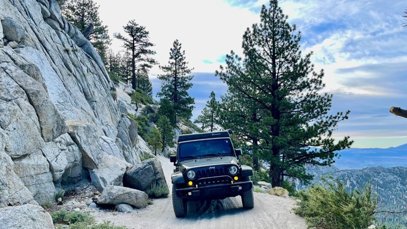
Kings Canyon Road
Carson City, Nevada
Kings Canyon Road has a long history, notably as the original wagon trail route between Carson City and Lake Tahoe. At the turn of the century, it was even part of Nevada's State Highway System.
Kings Canyon Road is a moderately difficult but incredibly scenic point-to-point trail with a little bit of everything. There is little to no opportunity to turn around. The trail is a narrow, steep shelf road the entire way with a few off camber spots. Sharp rocks and shallow, running water crossings through tree and brush tunnels dominate the middle part of the trail. The toughest part is referred to as the rock slide area. There was a rock slide that blocked the road at some point. All that remains are a few boulders to negotiate. You may need a spotter, depending on your experience level. Dispersed camping opportunities are available throughout the trail. A large staging area at the west entrance closest to Lake Tahoe is part of the Lake Tahoe Nevada State Park and there are signs prohibiting overnight camping in the Park. After that area you are good to go along the trail. The sites are typically narrow pullouts along the edge of the cliff.
Updated: 06/05/2022
Devils Cove Road
Mesquite, Nevada
Devils Cove is a relatively unknown and secluded off-road trail not terribly far from Las Vegas. It originates in the Gold Butte National Monument and travels down to what was once a cove of Lake Mead. The drive down to the cove is stimulating with fun driving that weaves in and out of washes and gives you a sampling of the five plant communities that surround the Lake. Once in the cove area, there is plenty of camping and areas to explore on foot.
Updated: 06/25/2024
Aztec Wash Road
Nelson, Nevada
Traveling between the historic town of Nelson and the oasis-like waters of Lake Mojave, Aztec Wash Road is a relaxing desert drive through sandy washes and thick cholla cactus forests with numerous nearby connecting roads to explore. This trail offers a great mix of historical intrigue and natural beauty as you traverse the rugged desert landscape that is known for being one of Nevada's first major gold strike areas. With plenty to see and explore and bountiful recreational opportunities, Aztec Wash is a great place to spend a day or camp out for the weekend.
Updated: 06/27/2024
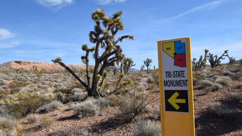
Three Corners
Mesquite, Nevada
Have you ever wanted to stand in three states at once? Well, pack up your 4x4 and head out into the Arizona desert to plant your feet at the state line junction for Arizona, Nevada, and Utah. In November 2016, an updated marker was installed, way out in the desert to signify their meeting point. This long 4x4 trail will take you right to the point where you'll find a decorative placard and flags from all three states. While there are a couple of ways to get to the monument, this route is the straightest way there, and it offers a couple of mild challenges for stock 4x4's. The trail travels up a large mesa above the town of Mesquite, where you'll have beautiful panoramas of the town and surrounding mountains. The trail accesses numerous other trails that can be combined for a truly enjoyable all-day adventure in the desert.
Updated: 07/30/2022
Lovell Summit Road
Pahrump, Nevada
The scenic Lovell Summit Road is a heavily used backcountry connector route between Lovell Canyon and Trout Canyon. There are many dispersed campsites along the route, and the road is a crucial connector for the continuous backcountry road system on the west side of the Spring Mountains National Recreation Area.
Updated: 04/19/2024
Trout Canyon Road
Pahrump, Nevada
This easy well-maintained gravel road accesses several BLM and US Forest Service roads in the Spring Mountains National Recreation Area. There are private residences at the upper end of Trout Canyon beyond the end of the trail and is well marked with "Keep Out" and "Private Property" signs.

Updated: 07/10/2024
Anniversary Mine Trail
Las Vegas, Nevada
Anniversary Mine Road is located east of Las Vegas in the Lake Mead National Recreation Area (LMNRA). The LMNRA, operated by the National Park Service, is located in Nevada and Arizona. Lake Mead was formed in 1935, less than a year before the construction of the Hoover Dam was finished. 1964 Congress approved the expanded area as the first National Recreation Area. The Anniversary Mine was started in 1921 to produce Borax, refined from the colemanite deposits of the Lovell Wash and White Basin areas. The mine was closed in 1928 due to operating costs and growing competition in California. During its operation, the Anniversary Mine produced approximately 200,000 tons of Borate. Aside from the mine site and tailing pile, the trail provides access to the Anniversary Narrows slot canyon hike and Ore Car Mine hobbyist rockhounding area. The Muddy Mountains Wilderness Area is located just to the north for non-motorized backcountry adventure.
Updated: 04/03/2023
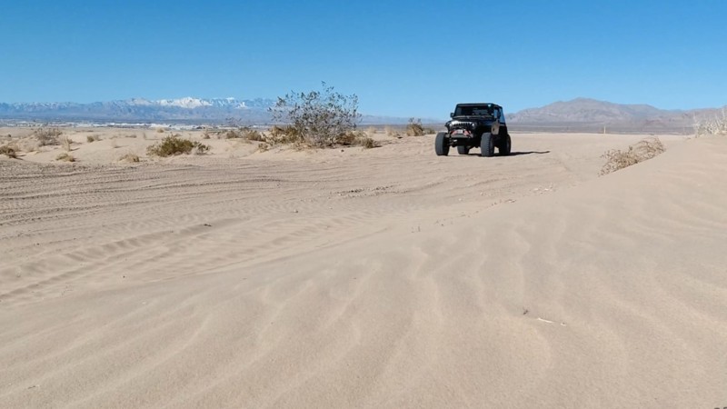
Nellis Dunes
Las Vegas, Nevada
The Nellis Dunes Off-Highway Vehicle area, north of Las Vegas in Clark County, was created by Congress in 2014. The area covers over 10,000 acres, with over 900 acres allocated to Clark County for the OHV Park. The area is used for off-road racing events, training, and OHV rental businesses. The region has a wide variety of trails that are comprised of rock, gravel, and large sand dunes. There are countless trails that crisscross all over the desert, so this route was created to access some of the popular areas of the park.

Updated: 03/18/2024
Delamar via Alamo Canyon Road
Alamo, Nevada
The Alamo Canyon Road is an easy trail to the ghost town of Delamar, located in the remote Delamar Valley in Lincoln County, Nevada.
Along this route you will pass through the rugged rocks of Alamo Canyon, cross dry lake beds, view ancient Native American petroglyphs, and traverse Joshua Tree forests. All this before reaching the crumbling ruins of the western ghost town of Delamar.
Along the way you will have opportunities, if you're lucky, to photograph wild horses and other wildlife, including bighorn sheep and deer.

Updated: 11/21/2023
Christmas Tree Pass
Laughlin, Nevada
Christmas Tree Pass located near Laughlin, Nevada is truly a unique and enjoyable drive through the desert. The trails' name comes from all the Christmas decorations that line the trail at the summit. Locals and visitors have been placing decorations on the trees and cactus for decades. Be sure to bring something to contribute. But that isn't all this trail has to offer, it's also an easy and very scenic route with some of the best petroglyphs in the southwest United States. Grapevine Canyon, a short walk from the parking area, contains over 700 pieces of ancient Native American artwork dating back to 1100-1900 AD. You'll walk among artwork that depicts the local wildlife and unique geometric shapes that scholars are still studying today.
Updated: 12/03/2023
Carpenter Canyon
Pahrump, Nevada
The Spring Mountains National Recreation Area is part of the Humboldt-Toiyabe National Forest. Better known to locals as Mount Charleston, it is located west of Las Vegas and encompasses more than 316,000 acres of remarkable beauty and surprising diversity. The Carpenter Canyon Road backcountry 4x4 trail on the west side of the Spring Mountains near Pahrump offers spectacular views from Charleston Peak to Telescope Peak in Death Valley National Park some 70 miles to the west. This route starts in the high desert and ends in the coniferous forest climate zone. You will likely see wild horses, burros, and deer. Winter may find icy and deep snow conditions in the upper areas of Carpenter Canyon.
Updated: 03/18/2023
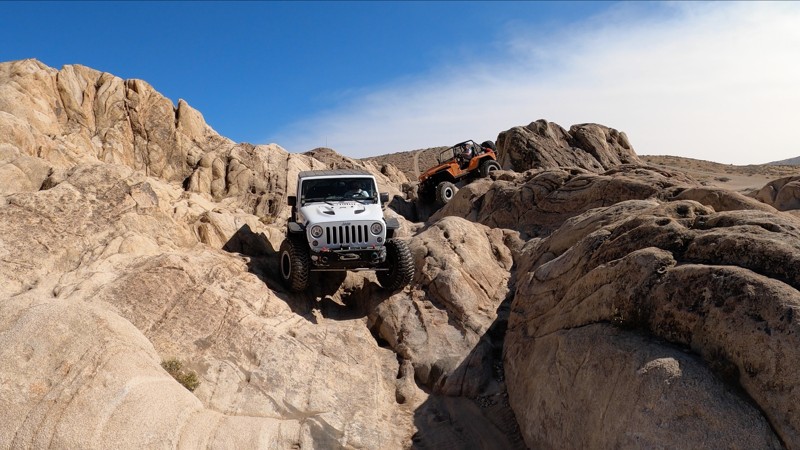
Moon Rocks (Area)
Sparks, Nevada
Outside Reno and Sparks, Nevada sits this open OHV playground where huge rock formations make up endless lines of anything from easy off-road exploring to extreme rock crawling.
From easy lines through this scenic area to huge vertical climbs, technical notches, off-camber pivot points, and plenty of sections to flex out your rig, you will find it in this small corner of open OHV BLM land known as Moon Rocks.
The track here shows only a few of the optional obstacles to choose from. Moon Rocks has no designated trails. It is an open area where you are free to make your own route and take it as easy or extreme as you like. First-time off-roaders in stock 4x4s can enjoy the numerous dirt paths through the area while experienced wheelers inbuilt rigs can crawl through the more challenging lines and even fully built buggies can find challenges at Moon Rocks.
Updated: 03/18/2023
Delores
Sparks, Nevada
If you find yourself in or near Reno, Nevada in a capable rig and need some time on the rocks, check out Delores. This is a short, challenging rock crawling trail just north of Reno, not far from the highway, and is filled with 4x4 rock crawling challenges.
Delores is a sandy, rocky canyon that cuts through the rolling hills of this chunk of BLM land just west of Sparks, Nevada where you’ll find hard lines and harder lines. Off-roaders in mildly lifted rigs can test their skill on the easier lines here, while wheelers in more built rigs can go for the optional and more challenging obstacles along Delores.
Updated: 05/11/2024
Six Mile Wash
Searchlight, Nevada
Located along the shores of Mohave Lake, Six Mile Cove is an easily accessible remote camping and swimming area. A short drive from the small town of Searchlight, Nevada you will travel along a well-maintained gravel trail, with broad panoramas of the Lake Mohave Desert region. Shortly after beginning the trail, you'll probably want to stop at the old cemetery that has some old and interesting grave markers. Although 4x4 is recommended, the route is accessible by some stock, high clearance cars, trucks and SUV's. The cove is a very large open area beach that can accommodate several large groups of people camping. The cove is very popular during the summer months for its kiteboarding, swimming and scuba diving. While camping at the cove you'll be enticed into taking long walks along the rocky shore and you'll certainly enjoy a spectacular night under the seemingly endless blanket of stars.
Updated: 10/22/2025
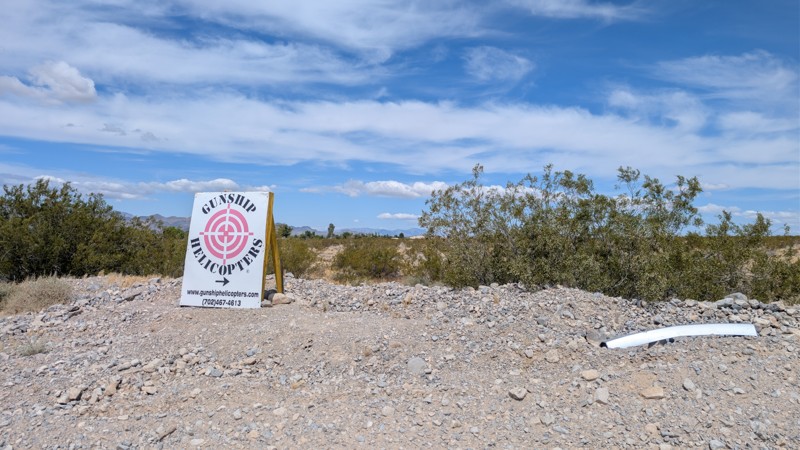
Railroad Canyon
Erie, Nevada
Railroad Canyon is a fun trail close to Las Vegas. It starts off of South Las Vegas Blvd, follows the train tracks under the interstate then swings under an old tunnel under the tracks. The trail is rated difficult due to the section in the wash with the ledges and waterfall climbs. On the GPX track, this would be the Southwest section of the trail shaped like a "C." The rest of the trail is moderate, mainly due to several steep hill climbs.
This trail is on BLM land and is open for camping. There are many good flat spots, some having rock fire rings. The area is also used for target shooting.
Updated: 04/22/2026
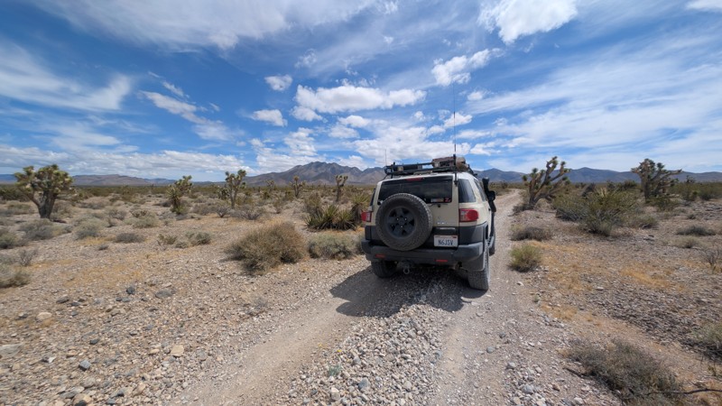
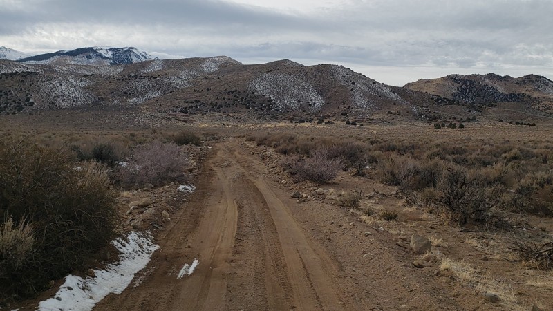
Sunrise Pass Road
Johnson Lane, Nevada
Sunrise Pass Road is a graded dirt road. It can be accessed from the Johnson Lane OHV Park located east of Minden, Nevada. As the road gradually ascends to Sunrise Pass, it traverses alluvial plains covered in sage and low canyons with juniper trees. Rising to 7,087' at Sunrise Pass, the road takes you to the heart of the Pine Nut Mountains. From the top of the Pass, the road descends to the very north end of Smith Valley, Nevada.
Numerous side trails lead to dispersed campsites, natural springs, abandoned mines, and scenic views. Most of this wide dirt road can accommodate two-way traffic. Most of the Pine Nut Mountain area is managed by BLM.
During dry weather, this road can be driven with 2-wheel drive high clearance SUV vehicles. During the winter months, the mountains get snow, and 4WD with recovery equipment, water, and extra supplies are warranted. Muddy road conditions are present during the spring thaw and wet weather. During these conditions, canyon washes may have shallow water crossings.
Intermittent to no cell service was available on the T-Mobile network along this road. Minden and Carson City both have gas, food, and lodging, and both are 9 miles from the trailhead.
Updated: 11/06/2024
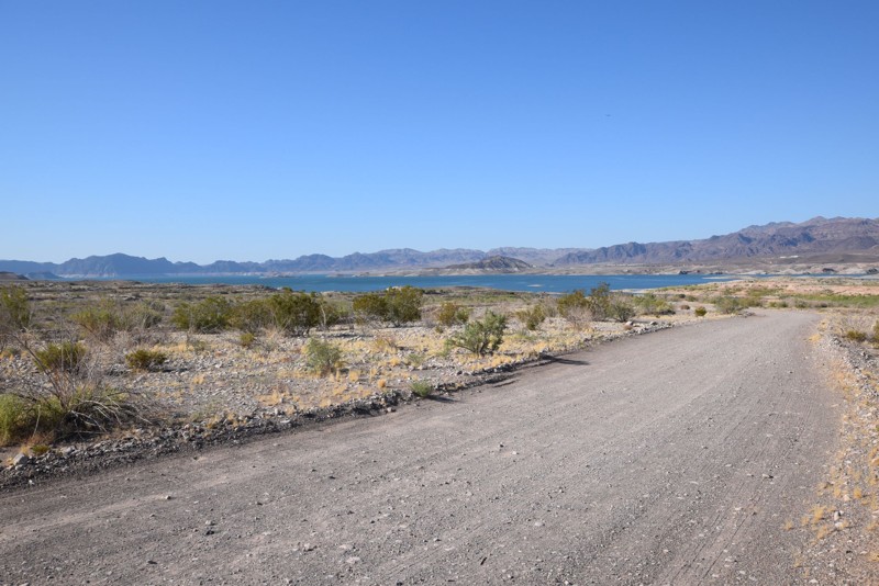
Boathouse Cove Road
Las Vegas, Nevada
Boathouse Cove Road is one of a handful of trails in the Lake Mead National Recreation Area (LMNRA) leading to the waterfront along the northern edge of Lake Mead. It makes a great day trip for activities like paddle boarding, hiking, and camping. Geology enthusiasts and rockhounds will love the entire LMNRA area for its beautiful formations and mineral deposits. For those who appreciate flora and fauna, various species of cacti can be found along the trail, and it is not uncommon for wild burros and horses to roam the area.
The LMNRA, operated by the National Park Service, is located in both Nevada and Arizona and includes Lake Mead and Lake Mohave. Lake Mead was formed in 1935, less than a year before the construction of the Hoover Dam was finished, and in 1964, Congress approved the expanded area as the first National Recreation Area.

Updated: 07/10/2024
Old Spanish Trail North
Moapa Valley, Nevada
The Old Spanish Trail in southern Nevada was the main trade route in the region from 1826 to 1848. The settlers and traders of the time had to travel through these harsh desert conditions to reach settlements to the north. This northern section follows a portion of the historic trail that borders the Valley of Fire State Park. The route is easy enough for stock 4x4s and an excellent way to connect Las Vegas with many other regional trails. The early section of the trail is a vast open desert, but it eventually works its way into a very scenic canyon with spectacular views of the surrounding mountains. The entire area is also great for those interested in geology and rockhounding.

Updated: 01/06/2024
Copper Cache Canyon
Boulder City, Nevada
An hour south of Las Vegas is one of the country's best-preserved ghost towns; Nelson, Nevada. It's an opportunity to catch a glimpse into what desert life must have been like for the early settlers. Located moments from the ghost town, in a nondescript wash, is one of the areas most popular rock crawling trails. Copper Cache Canyon is a local favorite for those looking to push the limits of their modified 4x4's. The trail travels through a narrow slot canyon with rock ledges, large boulders, and even an old mine site. Visiting the ghost town and linking this trail with others in the area makes for a truly memorable day on the trail.
Updated: 03/18/2023
Fish Lake Valley Hot Well (Route)
Dyer, Nevada
North of Dyer, Nevada, and west of Topona Nevada, in the BLM Battle Mountain District, is a remote, but not-so-hidden desert oasis and hot spring known as the Fish Lake Valley Hot Well. This easy desert route travels a small section of Emigrant Pass and Hot Ditch Road which brings you to this small section of paradise in the Nevada desert.
Colorful mountain backdrops, smooth rolling hills and plenty of side trails to explore along this route to the hot spring will keep overlanders entertained along the way. While a soak in the hot, concrete pool is probably your main reason for traveling this route, the surrounding area offers plenty of opportunity for additional off-road adventure.
This route is great for anyone from a first time off-roader just looking to get to the Hot Well, to experienced overlanders looking to explore the entire area and beyond.
Updated: 02/03/2024
Flat Top Mesa
Mesquite, Nevada
Located within the city of Mesquite, Nevada is an easily accessible 4x4 trail leading up to the summit of Flat Top Mesa. The extremely large mesa has vertical cliffs that tower 200 plus feet above the town below. The trail starts by winding it's way up a narrow sandy ledge before connecting to a long looping trail with numerous scenic vistas. The early scenic vistas allow you to see the entire town below and across the valley to the Virgin Mountains. The second half of the route easily travels out to cliff edges with incredible views of several other unique mesas poking out from the desert. The trail makes for a great way for travelers along I-15 to get off the pavement and catch a quick glimpse of this beautiful region of the Nevada desert.
Updated: 04/22/2026
Old Como Road
Dayton, Nevada
Como, Nevada, is a gold-mining ghost town established in 1862 with a peak population of "several thousand" people, according to a Mining and Scientific Press article published in 1912. Today the population is zero. Back then, the town folk enjoyed eight saloons, 4 stores, 4 hotels, a blacksmith, and many other services. The most famous residents were Paiute Chief Truckee and his son Chief Winnemucca.
Como, at an elevation of 7,116 feet, can be reached via a poorly graded dirt road that is under-maintained and full of cobblestone size rocks. It is a very bumpy ride but does accommodate two-way traffic. During dry weather, the road can be driven with a 2-wheel drive high clearance SUV.
Dispersed camping is allowed on BLM land. Intermittent to no cell service was available on the T-Mobile network at this location. Food, gas, and lodging are available at the trailhead, just outside Dayton, Nevada, along Highway 50.
Updated: 06/05/2022
Mormon Mesa
Moapa Valley, Nevada
Follow in the path of the early settlers along the iconic Spanish Trail of southern Nevada. The original Mormon Mesa route was a challenging task for the early Mormon settlers that were traveling north to Utah. One of the largest obstacles in their path was this massive mesa with near-vertical cliffs. Along this route, you'll have an opportunity to visit the historic marker for this iconic overland trail. The white post marker is where the original route used to climb up to the top of the mesa. It's now just a washed-out ledge but demonstrates the real-world challenges these travelers had to face from 1826-1848. Along the way, you'll have beautiful views of the Virgin River Valley and the rugged mountain range to the north. This trail is an easy and logical addition for anyone traveling off-road from Las Vegas to St. George, Utah.
Updated: 06/05/2022
Echo Bay Wash
Las Vegas, Nevada
Echo Bay Wash is located east of Las Vegas in the Lake Mead National Recreation Area(LMNRA). It is located near the historical site of Fort Callville. The LMNRA, operated by the National Park Service is located in both Nevada and Arizona. It follows the Colorado River corridor. The LMNRA includes Lake Mead and Lake Mohave, both reservoirs created by Hoover and Davis Dams plus their surrounding areas. Lake Mead was formed in 1935, less than a year before Hoover Dam construction was finished. In 1964, Congress approved the expanded area as the first National Recreation Area.
Anson Call traveled down the Virgin River and then followed Echo Wash and ultimately to the Colorado River where he established Callville, initially as a port and finally as a military outpost.
Some of the famous travelers in the Echo Bay/Wash area include John Wesley Powell, Armijo, Smith and Ogden due to the merging of the Colorado and Virgin Rivers.
Unfortunately the resort and marina in the area closed in early 2013.
Updated: 10/29/2024
Callville Wash South
Las Vegas, Nevada
Callville Wash South is located east of Las Vegas in the Lake Mead National Recreation Area (LMNRA). Named after Mormon settler Anson Call, who established Callville in 1864, the Callville Wash provides a natural route for seasonal water to flow from Muddy Peak and the Muddy Mountains Wilderness down to Callville Bay on Lake Mead. Though the trail only travels around 500 feet of elevation, the shift from the summit of Muddy Peak to the approximate banks of Lake Mead is an impressive 4,000-foot elevation difference.
Sent by Brigham Young, Anson Call established Callville as an outpost for the Mormon settlement in December 1864. Callville was used as a military fort/garrison, but just five years later, the garrison was shut down due to the end of the war and lack of conflict with native peoples. The completion of transcontinental railroads made Callville obsolete, and it was abandoned. Structures could still be seen in the 1930s until the Colorado River was dammed to allow the filling of Lake Mead. Today, Callville Bay Resort and Marina are closely located to the original historic site.
Updated: 12/09/2025
Boxcar Cove Road
Las Vegas, Nevada
Traversing a wide dry wash surrounded by ancient ocean-bottom mud hills, Boxcar Cove Road is one of a handful of trails in the Lake Mead National Recreation Area (LMNRA) leading to the waterfront along the northern edge of Lake Mead. This remote trail winds through the stark beauty of the Mojave Desert landscape, offering travelers expansive views of the surrounding canyons, unique rock formations, and glimpses of Lake Mead. The rewarding cove at the road's end is a perfect spot for outdoor activities like fishing, swimming, and picnicking, making this a great off-road trail for the weekend adventurer.

Updated: 07/10/2024
Weiser Valley
Moapa Valley, Nevada
Weiser Valley, located within the Logandale OHV area, is an excellent and easy way to catch a glimpse of the unique landscape that this region of Nevada is known for. The trail travels through a picturesque canyon with unique and colorful rock formations, including a natural arch high up along a rocky ridgeline. Weiser Valley can be used to access Logandale OHV Trails such as The Bowl, Matterhorn, and Hawkins Trails, as well as the remnants of the Silver Queen Gypsum mine. A large group camping area at the trailhead makes for an ideal base camp while you explore the area for days. Connecting this trail with others makes for a long and scenic overland route.

Updated: 01/14/2024
Gold Strike Pass
Boulder City, Nevada
A short drive from the Las Vegas strip, Gold Strike Pass offers a unique view of the Hoover Dam and Lake Mead region. Access to the trailhead is super convenient. It's an easy scenic alternative to the highway that you can drive to connect with other trails for an extended overland route. You'll immediately climb up narrow ledges with switchbacks high above the lake and highway traffic. The route travels along the northern edge of the Black Canyon Wilderness, a rugged desert landscape running along the Colorado River.

Updated: 11/27/2023
Wooden Pole Powerline Road
Las Vegas, Nevada
Wooden Pole Powerline Road is a fast and fun trail to visit while escaping the Vegas heat and local traffic. Located near Mount Charleston and the Spring Mountain Recreation areas, the trail allows for great views of the surrounding mountains, valleys, the thicker and greener vegetation, and even a distant view of the Las Vegas strip. This is an excellent trail for those who want an enjoyable drive with mild challenges and fantastic views.
Updated: 10/15/2024
McCullough Pass
Jean, Nevada
McCullough Pass Trail provides access from the Jean, NV dry lakebed area on the west to Highway US95 on the east. The section that travels over the saddle and back down is very rocky but provides sweeping views of the Bird Spring Range to the west and the Eldorado Valley to the east.
This is a powerline trail; many offshoots run to the individual towers. Downloading the GPX track will keep you on the correct path. Most of this trail is on BLM land. There were not any existing camping spots along the route. At about the 6-mile mark, you will cross into the Boulder City Conservation Easement. A sign on the road marks this. Past this point, no camping is permitted. The remaining section of the trail is rocky and has washboards and moguls that will bounce you around your vehicle. Take it slow, and next thing you know, you will be on US95.
Updated: 06/05/2022
Secret Pass - Nye County
Beatty, Nevada
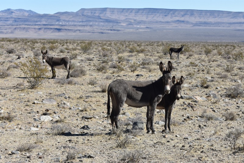
The Secret Pass 4x4 trail is an easy way to explore a seldom visited area of Nevada, and one of the best places we know of to see wild burros. 4 wheel drive is usually not required, and you will see unusual geologic formations, active and abandoned mining operations, unspoiled desert scenery, and expansive views along the way that will ensure you made the right choice taking this remote Nevada offroad trail.
Updated: 11/15/2025
Logan House Loop
Glenbrook, Nevada
Logan House Loop is on a historic section of land near Lake Tahoe. Purchased in 1863 by Robert and Mary Logan, just before Nevada became the 36th state, the Logans opened the Logan House hotel on the lakeshore below this trail. In Mark Twain's San Francisco Letters of 1865, he describes the hotel as "new, handsomely furnished, and commodious; it stands within fifty feet of the water's edge, and commands a view of all the grand scenery there about; its table is furnished with the best the market affords, and behold they eat trout there every day."
Unfortunately for the Logans, the property fell victim to the tax burden. It was sold in 1866 to Henry M. Yerington, a timber baron and future Virginia and Truckee Railroad superintendent. The land was logged, and the house was left to decay.
The loop trail is accessible via Genoa Peak Road. It consists of rough dirt, loose gravel, rocks, and occasional asphalt. 4WD is unnecessary, but high clearance helps avoid numerous exposed rocks. It's an easy ride for all skill levels and caters to those who enjoy scenic drives through dense vegetation. There are several creeks along the way, but none that require crossing. There is no camping on this trail.
Updated: 06/30/2026
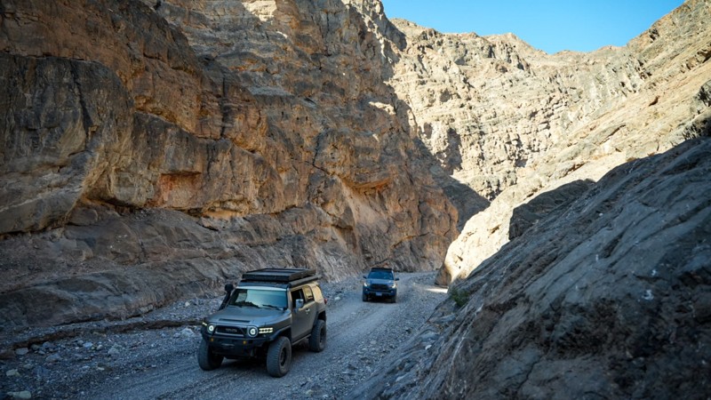
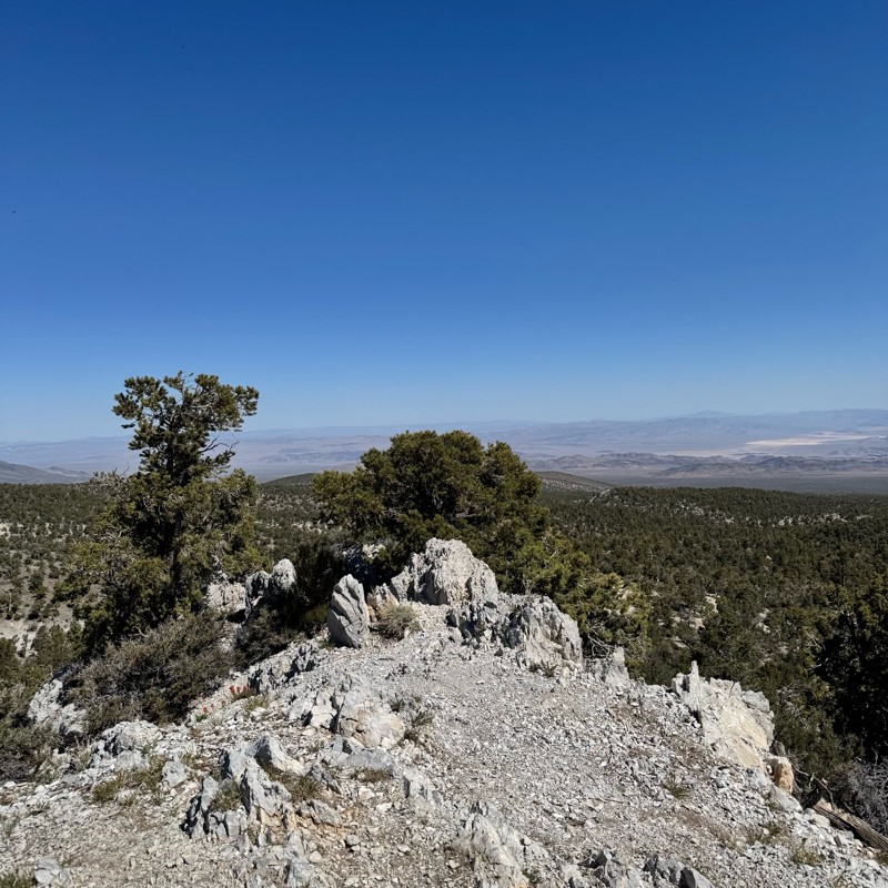
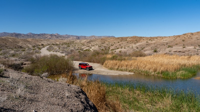
High Rock Canyon
Open
/
Swedes Place, Nevada/
17.22 miles/
About 3 hours
High Rock Canyon, an Area of Critical Environmental Concern (ACEC), boasts exceptional scenic beauty, vital wildlife habitats including bighorn sheep terrain and dense raptor nesting areas, and National Register-quality archaeological sites and districts. It also features a 14-mile stretch of the Applegate Trail, a National Historic Trail adorned with emigrant graffiti. Captain John Fremont first chronicled the Northern Paiute trail through the canyon in 1844. The Applegate brothers later led emigrant wagon trains through this rugged passage en route to Oregon's Willamette Valley. During the Gold Rush in 1849 and into the 1850s, it was a bustling route to California's goldfields and towns. Today, it lies far off the beaten path, preserving its unique charm.
Updated: 06/05/2022
Bowman Reservoir
Moapa Valley, Nevada
Bowman Reservoir is an ohv area located just outside the small town of Moapa Valley, NV. Along the route you'll experience wonderful views of the towering Mormon Mesa to the north. The trail can be used to access primitive camping near the Bowman Reservoir and linking with the popular Mormon Mesa trail. The region along the trail is an ohv riding area with large dirt dunes that are ideal for dirt bikes and atv's. The trail is an easy powerline service road that all stock high clearance 4x4's can easily complete. This short trail is part of a long overland route that allows users to travel on dirt from Las Vegas to St. George, Utah.
Updated: 03/18/2024
Helene and Delamar Ghost Towns
Caliente, Nevada
The ghost towns of Delamar and Helene are located in Delamar Valley between the Delamar Mountains and the South Pahroc Range. This area also borders the South Pahroc Range Wilderness Area to the west and the Delamar Mountain Wilderness Area to the south.
In 1889 two local ranchers, John Ferguson and Joseph Sharp, discovered gold in the high desert south of Caliente, Nevada. The mining camps of Ferguson and Helene soon sprung up as miners flocked in. In 1892, the Ferguson Mining District was formed. Reports came into Pioche that assays of $75 to $1000 a ton of ore was being mined resulting in the first rush of miners stampeding to the district.
In April of 1894, Capt. Joseph Delamar bought most of the important mines in the area and renamed the Ferguson camp as Delamar. Also in 1894 a post office and newspaper, the Delamar Lode, was opened. The town quickly grew to over 1500 residents and boasted an opera house and hospital. By the turn of the century the town had over 3000 residents.
The gold was embedded in quartzite, which when milled, created a fine dust. This dust caused many miners and residents to develop silicosis which earned the town the nickname "Widow Maker".
Up until 1909 the mines were the largest producers in the state, but soon after all operations closed and the residents left. There was a short revival of operations in 1929 but by 1934 the town was once again abandoned. All in all, the mines around Delamar produced over $25,000,000 dollars in gold.
The area around Delamar is a remote region with countless trails rated from easy to difficult. Dozens of old mines and abandoned camps can be found. Wildlife is abundant and sighting wild horses is the norm. Delamar would make an excellent base camp to explore the rich history and natural beauty of the area.
Please tread lightly so future generations can enjoy this reminder of of our past. The state of Delamar has declined rapidly in just the last few decades due to vandals literally tearing down the walls of buildings to find hidden treasure.
Updated: 01/29/2024
Wallace Canyon Road
Pahrump, Nevada
The Spring Mountains National Recreation Area (SMNRA) is part of the Humboldt-Toiyabe National Forest. Better known to locals as Mount Charleston, it is located west of Las Vegas and encompasses more than 316,000 acres of remarkable beauty and surprising diversity. The Wallace Canyon Road backcountry 4x4 trail on the west side of the Spring Mountains near Pahrump offers spectacular views from Charleston Peak to Telescope Peak in Death Valley National Park some 70 miles to the west. This route starts in the high desert and ends in the coniferous forest climate zone. You will likely see wild horses, burros, and deer. Winter may find icy and deep snow conditions in the upper areas of Wallace Canyon.
Updated: 04/18/2023
Badger Valley Loop Nevada
Alamo, Nevada
The Badger Valley is a high desert valley located between Badger Mountain to the west, and the East Pahroc Mountain Range to the east.
The many beautiful panoramic vistas of valleys, deserts, and mountains is astounding. There are also ample opportunities to view wildlife, including deer, bighorn sheep, and wild horses. Due to the abundance of wildlife, it is a popular area for hunters. The Badger Valley Loop is a short and easy trail for one interested in nature photography.
The north part of the offroad trail is bordered on the northwest by a section of the Basin & Range National Monument called The Shooting Gallery. This area is an excellent place to discover ancient Native American petroglyphs, some of which are 3000 years old.
Between Alamo and Rachel NV is the site of the Devonian Alamo Bolide Impact when, 367 million years ago, one or more meteors slammed into the earth. Unfortunately, the exact location of the impact zone has been obscured by time. For those interested in geology, there are still many signs of this event still visible such as impact breccia, distorted limestones, and high levels of iridium.
The area around Badger Valley is bordered on the south by the Desert National Wildlife Refuge and on the south and east by the Pahranagat National Wildlife Refuge. North is the Basin & Range National Monument. West of Badger Mountain is the Nellis Air Force Testing range where nuclear testing was done in the 1950s until the surface ban in the early 1960s.
Updated: 04/17/2026
Charleston-Jarbidge
Murphy Hot Springs, Nevada
The journey to the remote town of Jarbidge begins either in Murphy Hot Springs, Idaho, via Three Creek Road or from Deeth, Nevada, along the Charleston-Deeth Road, which seamlessly transitions into Charleston Jarbidge Road as it winds through the rugged passes of the Jarbidge Mountains and Wilderness range. The town’s name, originating from the Shoshone language, translates to “monster that lurks in the canyon” or “weird beastly creature,” a tribute to the legend of Shoshone warriors who are said to have trapped this mysterious being in what is now Jarbidge Canyon.
The discovery of gold near Jarbidge in 1909 ignited one of the last great gold rushes of the Old West, swiftly transforming the town into a thriving hub with a population nearing 2,000 by 1911. Jarbidge also earned notoriety as the site of the last stagecoach robbery in 1916. However, the town’s prosperity waned after World War I, when much of its mining infrastructure was dismantled for the war effort. Mining operations ceased entirely in 1932 but were revived in 2013 by re-issuing gold removal permits.
Jarbidge is one of Nevada’s most remote towns, renowned for its extreme isolation, accessible only via the Charleston-Jarbidge Road. This route can be treacherous, and it is often closed from October to July due to heavy snowfall near Bear Creek Pass. Due to the steep grades and occasional washouts, all-wheel drive or four-wheel drive vehicles are recommended. Nestled in a canyon and surrounded by towering mountains, Jarbidge is not only the most isolated town in Nevada but also one of its most visually stunning, with air quality among the purest in the nation. This hidden gem offers a unique blend of history and natural beauty, making it the perfect gateway to exploring the untouched wilderness of northeastern Nevada.
The Jarbidge Wilderness Area, close to the Idaho border, unfolds as a mesmerizing landscape of forested peaks, deep river-carved gorges, and expansive basins. Visitors might come across arbor glyphs—carvings left by Basque sheepherders in the aspen groves that dot the wilderness. Despite its rugged terrain, the area remains accessible to adventurers of all levels. The historic town of Jarbidge serves as an ideal base camp, and the Charleston-Jarbidge Road offers eight free USFS-managed campgrounds along the rushing Jarbidge River and numerous opportunities for dispersed camping. The wilderness provides unparalleled fishing, hunting, and exploration opportunities for those seeking a deeper connection with nature.
Updated: 06/05/2022
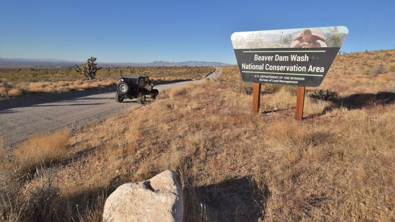
Bull Valley Road
Beaver Dam, Nevada
Bull Valley Road can be your gateway to all sorts of desert adventures. This easy crushed gravel road travels from the southwestern corner of Utah, far out into the Nevada desert. The route easily allows access to rock climbing, hiking, and remote primitive camping. You travel through the 63,000 acre Beaver Dam Wash National Conservation Area where you'll drive through a harsh desert landscape covered in Joshua trees, creosote bush, white bursage, and other desert shrubs that provide a habitat for desert bighorn sheep and the Mojave Desert tortoise. The route is long and connects with other truly remote trails that will take you far away from any signs of civilization.
Since the introduction of cattle grazing, non-native grasses have spread across the area, forever altering the landscape. Wildfires are rare occurrences in the Mojave Desert region, so these changes led to fires in 1993, 2005, and 2006. Some of the large Joshua tree forests were lost, however, this route travels through a section that has been able to survive. The trees create a densely packed forest; most of them are massive, growing as tall as 49 feet. They can live for hundreds of years; some specimens survive a thousand years
Updated: 06/05/2022
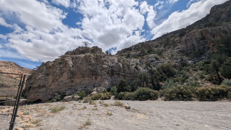
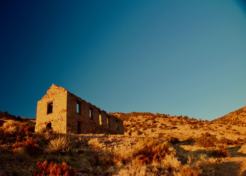
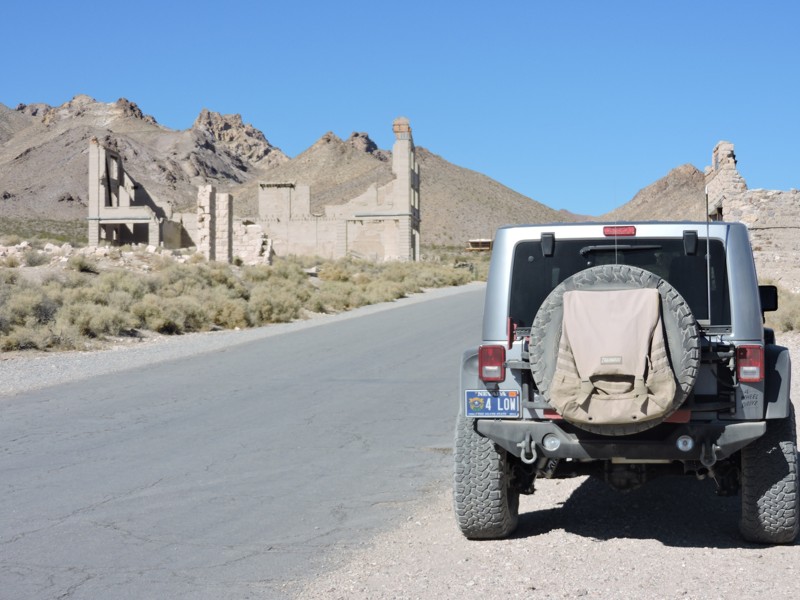
Rhyolite Railroad Loop & Ghost Town
Beatty, Nevada
This easy 4x4 route follows a portion of the Bullfrog Goldfield Railroad's standard gauge spur route into Rhyolite, Nevada, the most photographed ghost town in the west. At its peak, nearly 5000 people lived here, one building was 3 stories tall and cost $90,000 to build. A stock exchange and Board of Trade were formed. The red light district drew women from as far away as San Francisco. There were hotels, stores, a school for 250 children, an ice plant, two electric plants, foundries and machine shops and even a miner’s union hospital.
You'll cross over grade fills and pass through grade cuts. You'll pass the historic Montgomery-Shoshone Mine site, the old Rhyolite train station that is slowly being restored, and Tom Kelly's bottle house, made of over 50,000 bottles. The other remaining buildings are all concrete hulks as wood is scarce in Nevada, and was reclaimed to help build new facilities somewhere else. Be sure to visit the Goldwell Open Air Museum at Waypoint 7 of the trail guide. The free museum displays old artifacts and modern art, and the last shot in the video was taken there.

Updated: 05/27/2023
Little Finland
Mesquite, Nevada
Little Finland is located within the very remote Gold Butte National Monument in southern Nevada. The region is known for its unique rock formations formed by millions of years of wind and rain. Little Finland, also known as Devil's Fire or Hobgoblin's Playground, is a specific area where the Aztec sandstone has been formed into arches, thin fins, and other jagged formations. The area became popular about 25 years ago, but because of how remote the area is, you're likely to be the only visitors. The site also has an abundance of rock art and petroglyphs. These delicate pieces of ancient artwork are on the ground, intermixed with the countless rock spires. To help preserve these delicate rocks and artwork, be cautious when walking through the area. When you park your vehicle, you must walk up to the elevated area where you'll become immersed within this special place.
Updated: 10/31/2024
Crawdad Cove Road
Las Vegas, Nevada
Crawdad Cove Road is an off-road trail located east of Las Vegas in the Lake Mead National Recreation Area(LMNRA). The LMNRA, operated by the National Park Service is located in both Nevada and Arizona. It follows the Colorado River corridor. The LMNRA includes Lake Mead and Lake Mohave, both reservoirs created by Hoover and Davis Dams plus their surrounding areas. Lake Mead was formed in 1935, less than a year before Hoover Dam construction was finished. In 1964, Congress approved the expanded area as the first National Recreation Area. This off-road trail makes for a great day trip visit Lake Mead for swimming, boating, kayaking, rafting or other water fun. Large areas available for camping, both tent and trailer. There are multiple side washes and small hills for hiking and exploring. Just be sure to bring your trunks, food, drinks and some shade. The trail is an easy drive with a scenic desert landscape. There are also beautiful views of Lake Mead as you approach the end of the trail. Plenty of wildlife was observed to include rabbits, road runners and multiple types of lizards.
Updated: 10/15/2024
Knight Ranch Road
Jean, Nevada
This trail starts where the Knight Ranch Road pavement ends just southeast of the Jean Dry Lakebed. It takes you from the desert floor up into the South McCullough Wilderness Area, where you see a large field of joshua trees. Just before the wilderness area begins, there is a large area for camping that can accommodate a group. A rock fire ring and picnic table are ready for your use. The trail ends where the BLM has erected a barrier fence. From that point, you can continue on foot for the full wilderness experience.
Updated: 10/03/2025
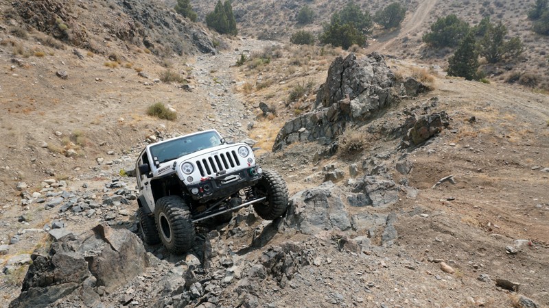
Big Wash Trail
Garrison, Nevada
This BLM trail begins in Utah and ends in Nevada at the intersection of the much easier route to Lexington Arch in the Great Basin National Park. This seldom-used trail does not appear on most maps or GPS navigation systems. Google Maps does show it as Route 950, forking off Route 948 off Highway 21.
The first portion of this two-track is rough, lightly traveled, and follows the rim of Hidden Canyon. Be careful and slow. The many twists and turns are close to the rim edge. Once past the canyon rim, the climb begins, and though not steep, it is steady, very rocky, and at times off-camber. High clearance 4x4 is definitely needed here, but the views are worth the effort. The trail is remote, surrounded by Great Basin Park to the west and canyons below to the south and east. Once at the peak, the drop is rocky and steep. First gear and 4x4 low are your friends on the descent.
Camping opportunities on the route are present but minimal with just a couple of pull-offs with fire rings. The Lexington Arch hiking trailhead is close by, as are a few other fun and scenic trails.
Updated: 04/08/2025
Telephone Cove Road
Laughlin, Nevada
This trail provides access to the Telephone Cove Beach area from NV highway 163. It is a wide dirt road that easily will accommodate two-way traffic. One section contains some deep holes. Even though this one section of road is a bit challenging, I have watched regular cars, vans, and vehicles with trailers maneuver through. Camping by the lake is permitted following the guidelines posted.
Updated: 10/29/2024
Callville Wash North
Las Vegas, Nevada
Callville Wash North is a rugged backcountry route within the Lake Mead National Recreation Area that traverses a scenic, geologically rich landscape, including layered sedimentary rocks, volcanic ash deposits, and cliffs interwoven with gypsum veins. The road offers views of notable formations like the Bowl of Fire, known for its vivid red, orange, and white rock formations. This trail provides hikers with easy access to the Bowl of Fire hiking trail, which travels into the Muddy Mountains Wilderness Area, providing access to impressive bright red rock formations and slots like Eagle Rock, Heart Bowl, Leaning Towers, and the namesake Bowls of Fire.
Updated: 05/20/2026
Mack's Canyon
Lee Canyon Summer Home Area, Nevada
Mack's Canyon is an out and back stock friendly trail that is 4 miles one way, ranging in elevation from 7,391 to 8,230 feet. Dispersed camping is available along the entire trail, with two larger group campsites at the end. The first .5 mile is a simple gravel road with access to large campsites accessible by any vehicle, even large RVs. Beyond the first .5 mile, the road continues to be maintained but becomes steep, winding with sharp drop-offs and occasional rutting until about mile 3 of the trail. This section of the road provides spectacular views and cliff side campsites in the pinyon pines and junipers. This is the toughest part of the trail. Between miles 3 and 4, you will get into a larger pine forest within the canyon. The lower group camp is at 3.5 miles and looks to accommodate three to four mid-size vehicles. The upper group camp is 3.7 miles and may have space for 6-8 mid-size vehicles. Smaller campsites are also available at the end for those not in a group. I would be aware of heavy rains in this area as it is a slot canyon and may flood.
Updated: 06/05/2022
Bunker Pass
Caliente, Nevada
Bunker Pass, located in eastern Nevada, is a high desert trail that traverses the edge of the Clover Mountain range. The route is a well-groomed crushed gravel road, making for an ideal overland route for larger, less capable offroad vehicles. The trail connects with several other long trails, bridging the gap between western Utah and eastern Nevada. You'll wind your way through narrow switchbacks and over rolling hills covered with old-growth stands of ponderosa pine and aspen, both of which are uncommon in this part of Nevada. Be sure to keep your eyes open for mule deer, bighorn sheep, mountain lion, bobcat, and badger. Looking to the sky or atop the tall trees, you might spot an endangered peregrine falcon, prairie falcon, or even the elusive golden eagle. Millions of years ago, this area was a major volcanic center, massive lava flows shaped this dramatic landscape. After millions of years of corrosion, the mountains have colorful and dramatic rock formations that contrast with the thick vegetation. This unique area within Nevada is a great secluded and scenic destination for a weekend escape.
Updated: 10/15/2024
Six Mile Beach Trail
Silver Springs, Nevada
Twelve thousand years ago, Lahaton Lake covered a large portion of the then-wet Nevada basin. In 1905 Lahontan Reservoir was created and named after that huge ancient lake. With 69 miles of willows and cottonwoods scattered along its shoreline, the park is one of the most popular places in Nevada to boat, fish, water ski, and horseback ride. The Lake is open to the public year-round. Lahontan is also a nesting site for bald eagles. Wild horses, bobcats, foxes, and deer share the park with a variety of birds, including migratory waterfowl, pelicans, herons, egrets, and hawks.
The west shore at Lahontan State Recreation Area offers great camping. Open year-round with a nightly fee of $20.00 per vehicle, primitive beach camping is permitted in all areas except for day use and boat ramp areas. A camping limit of 14 days in a 30-day period is enforced. Leashed pets are welcome.
The trail surface varies with smooth compacted dirt, mud, and sand. The trail is generally level with gradual changes in grade. Stock 4WD SUVs will work during dry weather. Drivers should be careful of the deep arroyo sand. Use caution during wet weather since the sandy arroyos are prone to flash flooding. When wet, portions of the trail are almost impassible. The trail crosses a mixture of public and private land. Please be respectful of the sections of private property.
Updated: 10/15/2024
Fisherman's Cove
Bunkerville, Nevada
Fisherman's Cove is a bumpy, rocky, and sandy 10.5-mile out-and-back trail leading to the banks of the Virgin River. The trail starts as a gravel rock service road before dropping into a much rougher wash. 4x4 may not be required, but it might become necessary if you high center or lose traction in the soft sand. You must have durable offroad tires, no street tires on this route. The trail winds through the wash before opening at the sandy bank of the river. There is one large open area for 4-5 vehicles with tents. There are a couple of other smaller areas for primitive camping. The water is very shallow and wonderful to wade through.
Updated: 09/29/2025
Lava Butte Road
Henderson, Nevada
Located just east of Vegas, in the Sunrise Mountain Special Recreation Management Area, Lava Butte is an 8-mile, point-to-point trail that slowly weaves through the scenic mountain and brightly colored canyon landscape formed by magma 13 million years ago. Despite the name, Lava Butte was not formed from a lava eruption but rather from a blister-like magma chamber that uplifted and became exposed due to erosion. The dark appearance of the butte is from desert varnish, a natural dark patina that forms from weathering and concentration of iron and manganese oxides on the rock's surface. The road surface is generally hard-packed clay with short sections of small rocks ranging in size from golf balls to baseballs. Along the drive, you will encounter several gradual grades that are prone to washouts during and after heavy rain events. Although a high clearance vehicle is recommended, 2WD is sufficient during dry conditions. This trail can be run in either direction and can be run by itself or combined with one of the other nearby roads to create a full loop.
Camping is prohibited along this trail or any road within the Sunrise Mountain Special Recreation Management Area. The closest camping resides east, within Lake Mead National Recreation Area. Large trailheads on each end of the trail provide great areas for trailer parking or airing up/down.
Updated: 06/05/2022
Pine Nut Road
Las Vegas, Nevada
A Short road off of Mormon Well road located in the Desert National Wildlife Refuge that climbs from the valley floor into the pines at the top and ends with a great campground. One of the camp sites has a nice view of the desert below. There are multiple weather stations to explore. Plenty of hiking options from the campground, including a trail to Sheep Peak.
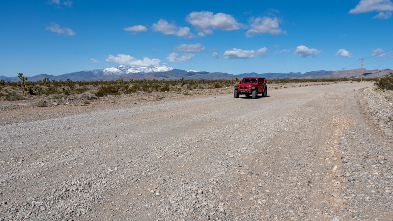
Updated: 07/02/2026
Sandy Valley Road
Mountain Springs, Nevada
Sandy Valley Road, also referenced as Pahrump Road on various maps, is a straight-through, 16-mile-long graded gravel road that connects the Pahrump Valley Highway to Sandy Valley along the Nevada and California border. The road is extremely wide, crosses numerous dry desert washes, and becomes impassable during heavy rain as the water fills the washes. During dry conditions, the road is suitable for any vehicle. The first few miles along the northern end, you can find several spur roads that lead to open areas that have been used as possible campsites in the past. These open areas are in poor condition and do not make ideal campsites. However, they offer scenic views of Potosi Mountain, Charleston Peak, and the surrounding Joshua Tree forest.
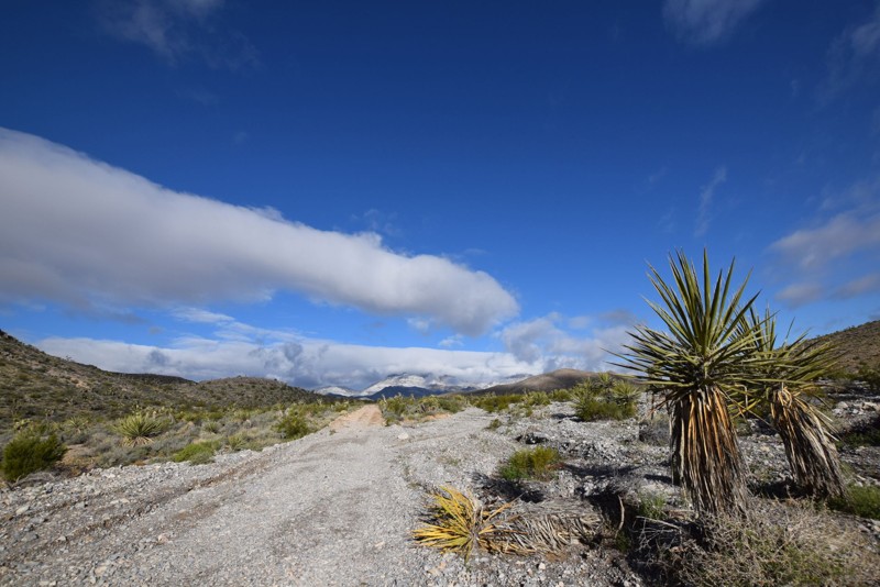
Updated: 06/24/2023
Sawmill Road West
Las Vegas, Nevada
Sawmill Road West is a nice scenic off-road drive starting in the desert valley and climbing to an elevation of 5600 feet. Scenic landscape starts with brush and dirt/gravel roads and progresses to pine trees and snow during the winter season. Sawmill Road West is an optional entrance from the north into the Desert National Wildlife Refuge, which connects to Mormon Well Road. There are scattered camp sites along the trail, some big enough to fit multiple vehicles and tents.
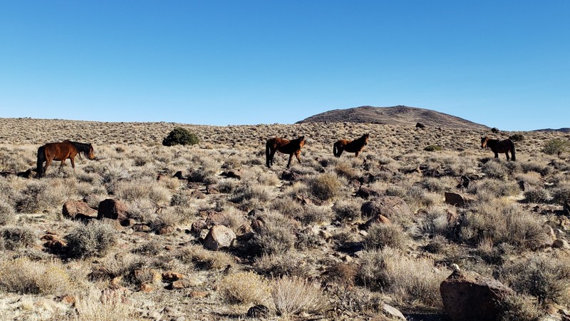
Updated: 06/30/2025
Wild Horse Trail
Dayton, Nevada
Wild horses and pronghorn antelope are often seen on this trail. Running across BLM land, there are dispersed campsites available along the route. There are also springs, old mines, and wildlife guzzlers.
Wild Horse Trail takes you from the outskirts of Dayton, Nevada, to Clifton Flat. The trailhead starts at the unlocked wild horse protection gate at the east end of Dayton Valley Road. Properly close and latch the gate after you enter.
Wild Horse Trail begins as a graded dirt road. As you ascend, the road narrows to a double-track trail. The trail's surface is mostly smooth compacted dirt with patches of rocky rubble. There are a couple of short steep hill climbs/descents with loose 6-inch rocks. Low-clearance vehicles may catch and drag the loose rocks. High clearance or lifted vehicles are better suited for this trail. The many juniper trees adjacent to Wild Horse Trail can leave minor pinstripes on Jeep-sized vehicles. Several seasonal streambeds cross the trail. Caution is advised during storms and spring snow melts.
Cell phone service, gasoline, food, and lodging are available in Dayton, Nevada, 2 miles from the trailhead.
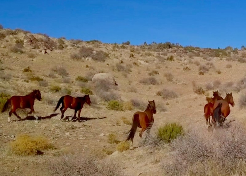
Updated: 04/18/2023
Cedar Wash and Bishop Road
Caliente, Nevada
The Delamar Mountains are located in a remote region of one of the least populated counties the United States. As you climb in elevation the abandoned mines of the Delamar area soon give way to the pine forests of the Delamar Mountains. Once you cross the mountains you will drop into the Kane Spring Wash, just outside of Rainbow Canyon.
There are wild horses, bighorn sheep and deer in abundance on this 4x4 trail. Since you will be traveling well above 5000 feet expect cooler temperatures, a pleasant escape in the summer months.
At the trail end, turn east on Kane Spring Road and in 3.5 miles you will come to the small town of Elgin on Highway 317, also known as the Rainbow Canyon Scenic Drive. From there it is about 21 miles north to Caliente.

Updated: 03/07/2023
Double Powerline
Moapa Valley, Nevada
Double Powerlinel, located near Moapa Valley, is an excellent alternative for off-road users looking to access other trails without traveling on the highway. The route easily and quickly connects two popular OHV regions. The trail crosses underneath large power lines while traveling through sections of private property. The route can be combined with other published trails to make for a long and memorable overland route. The terrain in the area varies from rolling sand hills and jagged ridgelines. Sections of the route offer a glimpse into the Muddy River basin, where the ribbon of dense vegetation stands in stark contrast.
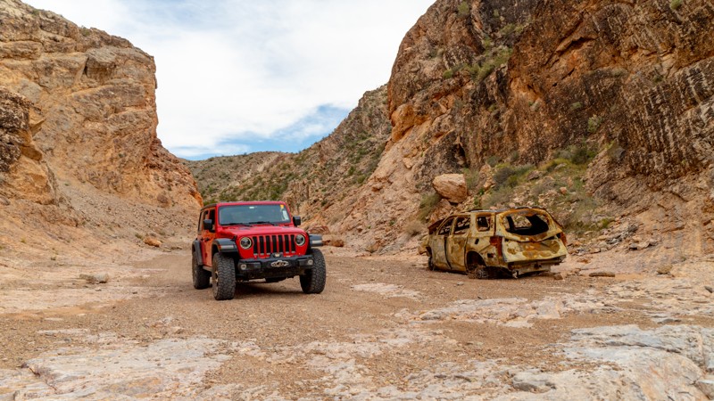
Updated: 10/15/2024
Ute Road
Ute, Nevada
Ute Road was once paved, but after severe flash flooding and washouts, it has become a patchwork of pavement, dirt, embedded rock, and ledges serving as a gatekeeper to accessing the Weiser Valley trail system. The only option to avoid Ute Road is to use Old Spanish Trail North.
Ute Road's excitement is located within the rock canyon that cuts through California Ridge. In the canyon, you will find plenty of opportunities to test the articulation of your suspension and your line-choice ability. You will even be greeted by the remains of what is perhaps an early 2000s mid-sized SUV. Dispersed campsites can be found on the west end of the canyon, making them accessible from I-15 without entering the canyon. Additional camping is available at the trailhead area of Weiser Valley.
At its eastern end, Ute Road dead ends at a management gate, making it purely a road for the excitement of the obstacles and to access Weiser Valley.
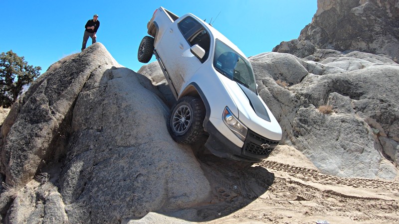
Updated: 03/18/2023
Frontier Line - Moon Rocks
Sparks, Nevada
Outside Reno and Sparks, Nevada sits this open OHV playground know as Moon Rocks, where huge rock formations make up endless lines of anything from easy off-road exploring to extreme rock crawling.
Frontier Line is one of the more technical, but not quite extreme lines here at Moon Rocks. A steep ravine along with a technical v-crack and tight off-camber turns make Frontier Line one for more experienced wheelers. While built buggies won't have much trouble with this trail, an optional climb along this trail will challenge even fully built rock buggies.
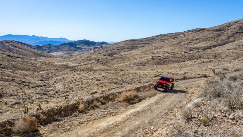
Updated: 05/20/2026
Kingston Road
Sandy Valley, Nevada
Kingston Road is a straight-through, nearly 13-mile-long dirt connection between Sandy Valley and Goodsprings, which traverses over Wilson Pass at 5,047 feet. The western end of the road out of Sandy Valley follows a wide, rocky, dry desert wash with 6''-10'' ruts and loose rocks. The trail is well traveled by many vehicles, including passenger cars and SUVs, as they access a commercial gun range. This portion of the trail appears to be washed out often as it is a main drainage from the mountains. Users should be prepared for impassable conditions after heavy rain. After passing the gun range, the road narrows a bit and begins working its way up the mountains. The trail stays rough as it traverses a more washboard, hardpacked surface and follows the powerlines. The eastern side of the pass, as you approach Goodsprings, is a well-maintained, graded dirt road. The trail comes to an end on North Beacon Street as it transitions to pavement and then becomes Pacific Avenue. Don't forget to make a stop at the historic Pioneer Saloon, one of Nevada's oldest saloons.
This trail does not offer any camping, and although it can be run in 2WD, a high clearance vehicle will be needed, and airing down is highly recommended to help ease your comfort during the drive.
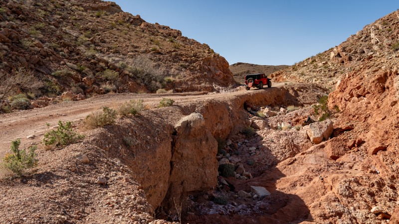
Updated: 01/06/2026
Rainbow Gardens Road
Sunrise Manor, Nevada
Situated between Las Vegas and Lake Mead, within the Sunrise Mountain Special Recreation Management Area, Rainbow Gardens is a nearly 8-mile, point-to-point trail that cuts through a brightly colored mountain and canyon landscape formed by millions of years of erosion. Erosion still continues today, where heavy rains can quickly change this easy road into a rutty mess or even wash out the road entirely in spots. During normally dry conditions, this trail is suitable for any high clearance vehicle and is easily traversed in 2WD. Accessing the trail from the north end will be the most challenging thing you encounter, as you are required to drop the rutty hill on the north side of Kodachrome Road in order to start Rainbow Gardens. The remainder of the trail is a well-graded dirt and gravel road with minor grades and a short, 100-yard-long narrow section next to a drainage that drops off nearly 20 feet at its deepest point. The road is only 1.5 vehicles wide through this spot, but seeing oncoming traffic is easy, and the section is very short. This trail crosses several dry desert washes that can become rutty and ledgy after heavy floods. Rainbow Gardens can be run in either direction and can be run by itself or combined with one of the other nearby roads to create a full loop.
Camping is prohibited along this trail or any road within the Sunrise Mountain Special Recreation Management Area. The closest camping resides east, within Lake Mead National Recreation Area. Large trailheads on each end of the trail provide great areas for trailer parking or airing up/down.
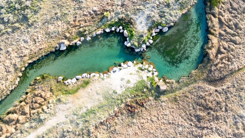
Updated: 10/15/2024
Hot Creek Spring
Adaven, Nevada
Hot Creek Spring Road is a one-mile gravel road that leads to a pleasant surprise: a natural warm pool for soaking and swimming.
Located in the Wayne E. Kirch Wildlife Management Area near Lund, Nevada, the warm pool is typically around 85 degrees Fahrenheit and is fed by Hot Creek Spring. It offers a large gravel parking lot and a short hiking trail with interpretive signage.
Free camping is available at the nearby Hot Creek Campground.
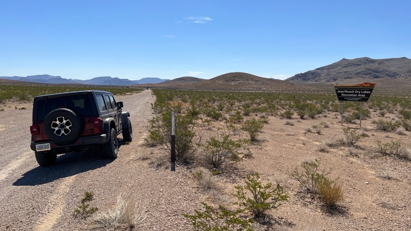
Updated: 10/15/2024
Knight Ranch Cuttoff
Jean, Nevada
Knight Ranch Cuttoff is a short trail providing access from Las Vegas Blvd to the Jean Dry Lakebed and trails beyond. The area just east of the railroad tracks is frequently used for target shooting and is on BLM land.
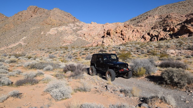
Updated: 03/01/2024
Colorock Quarry
Las Vegas, Nevada
Located in the Muddy Mountain Wilderness, a 100 million-acre natural preserve north of Las Vegas, Colorock Quarry trail is an easy way to access this remote and truly unique region of southern Nevada. The trail winds its way through a colorful mix of rocky mountains before stopping at the wilderness boundary and an old mining cabin. The Muddy Mountains Wilderness Area is truly a geologists paradise. It features unique geological formations made of limestone, Aztec sandstone, and fossilized sand dunes that all come together creating a visually dramatic landscape.
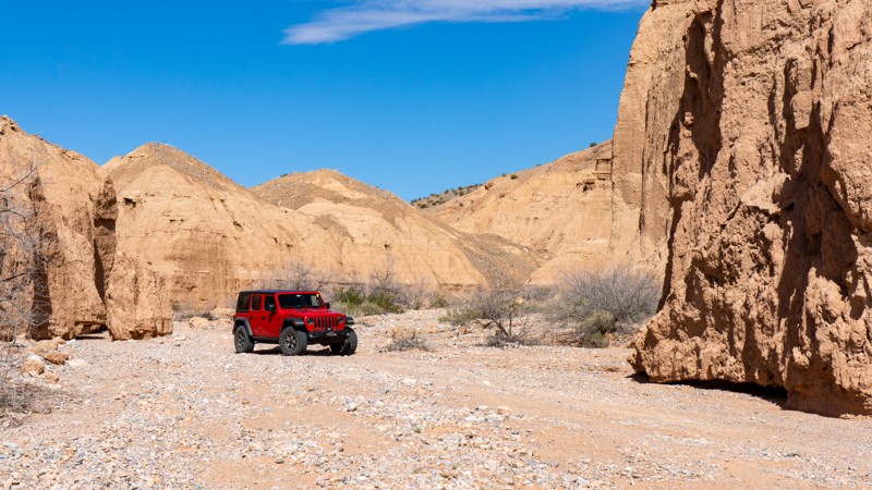
Updated: 10/15/2024
Virgin Wash
Amber, Nevada
Bridging the gap between Logandale Main Loop and the town of Logandale, Virgin Wash is a fun route up a sandy wash with a few rock obstacles. Although most of the trail is relatively easy, one rock obstacle halfway through the route will cause stock and lightly modified 4WD vehicles to stop and think for a second. Longer wheelbase or lower vehicles may struggle to climb over without scraping. This trail is an excellent option if you want more adventure than just a few hill climbs. No campsites exist on this trail, but many dispersed sites exist in the Logandale Trails network.
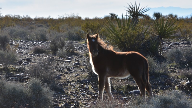
Updated: 06/05/2022
Horseshutem Springs Road
Pahrump, Nevada
The Spring Mountains National Recreation Area is part of the Humboldt-Toiyabe National Forest. Better known to locals as Mount Charleston, it is located west of Las Vegas and encompasses more than 316,000 acres of remarkable beauty and surprising diversity. The Horseshutem Springs Road Backcountry 4x4 Trail on the west side of the Spring Mountains near Pahrump offers spectacular views of the Pahrump Valley and Telescope Peak in Death Valley National Park some 70 miles to the west. You will likely see wild horses, burros, and if you keep your eyes open, you'll likely see deer too near the end of the trail. Winter may find icy and snowy conditions in the upper areas near the end of the trail.
Horseshutem Springs is named for a Paiute Native American suspected of shooting early settlers' horses. The route became a Nye County non-maintained road in 2011 to preserve access to the springs that supply water to the nearby Johnnie community.
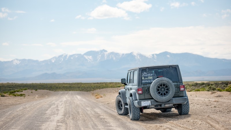
Updated: 10/15/2024
Dave Deacon Camp Rd
Lund, Nevada
Dave Deacon Camp Road is a 40-mile trek through a rolling high desert basin offering a unique adventure. The road surface, mostly gravel, is dotted with intermittent patches of washboard dirt and silt. While the road is generally accessible to most vehicles, it's important to be aware of the potential hazards. Large loose rocks on the roadway could pose a risk to passenger vehicles with minimal ground clearance, and heavy rain could make travel along this route challenging.
The eastern scenery is relatively flat with typical wildland vegetation like sagebrush, rabbitbrush, and grasses. The western half of the road has a rolling landscape and offers scenic mountain views with young Juniper trees.
There aren't any campsites directly off this road, but many spur roads offer flat open spaces to set up camp. Towards the east, the nearby Hot Creek Campground is free and offers pit toilets, water, and an RV dump station.
The Western end of Dave Deacon Camp Road transitions from BLM land to National Forest and turns into Cherry Creek Summit Road, aka Forest Road 59410.
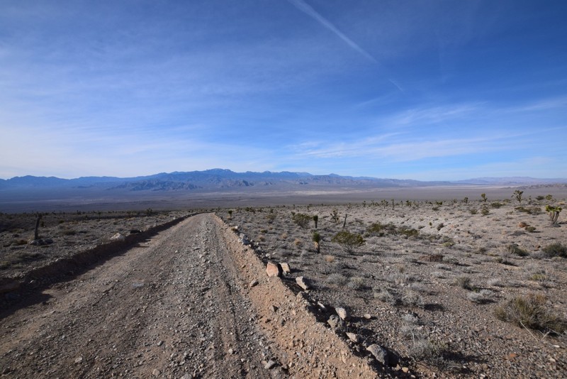
Updated: 06/05/2022
Joe May Road
Las Vegas, Nevada
Joe May Road is located in the Desert National Wildlife Refuge that ends in a nice camping area with great views of the desert valley and mountains surrounding the area. Joe May Road is short drive on Alamo Road http://www.trailsoffroad.com/trails/988-alamo-road. This is a nice easy drive to a perfect campsite for watching the beautiful sunsets. This site is a great base for hiking in the surrounding hills. This would be a great base camp while exploring Alamo Road and the other trails in the area.
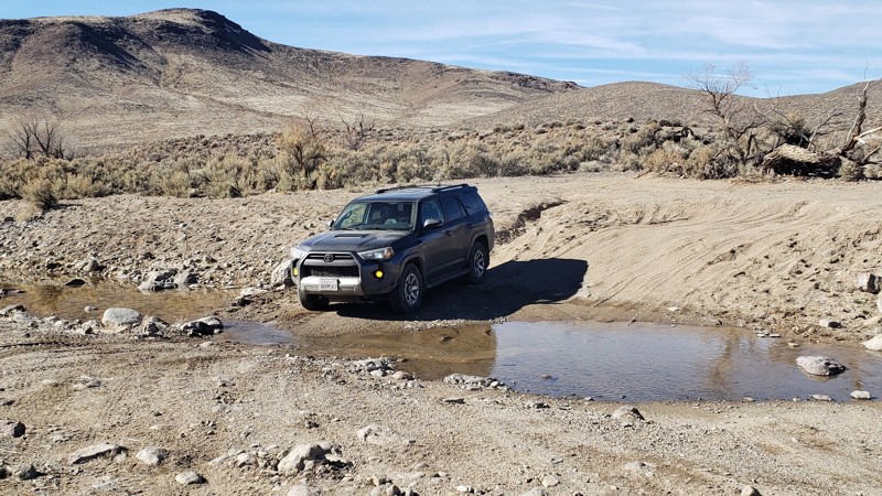
Updated: 10/15/2024
Clifton Flat Trail
Lux, Nevada
Running 11.7 miles off Highway 95 Alternate through BLM land to an area known as Clifton Flat. The trail passes through a remote, stark, sagebrush-filled valley. Clifton Flat is known for herds of wild horses and pronghorn antelope. The trailhead is an unlocked barbed wire wild horse protection gate south of Silver Springs. Clifton Flat begins on a graded dirt road. The trail descends and narrows to a double-track trail. The surface varies between smooth compacted dirt, mud, and rock rubble. The trail is generally level with gradual changes in grade.
The railroad crossing is active, so use look both ways. Several seasonal streambeds cross the trail. Caution is advised during storms and spring snow melts. Stock SUVs may catch and drag on loose rocks. High clearance and lifted vehicles are advised. This trail connects to the Wild Horse Trail.
Dispersed camping areas are available along Clifton Flat Trail. BLM camping and fire restrictions apply. Gas, food, and lodging are available 12 miles north in Silver Springs.
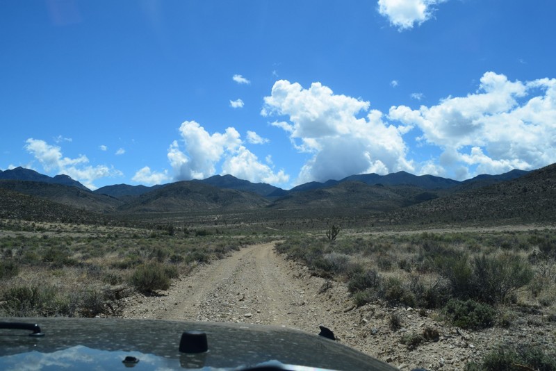
Updated: 06/05/2022
Deadhorse Road
Las Vegas, Nevada
Dead Horse Road is a nice side trail off of Alamo Road in the National Desert Wildlife Refuge just North of Las Vegas. If you are looking for fairly remote place to hike, take photos, go for a picnic or camp; then this is a great place.
Please follow the link for more information on the Desert National Wildlife Refuge: http://www.fws.gov/refuge/desert/
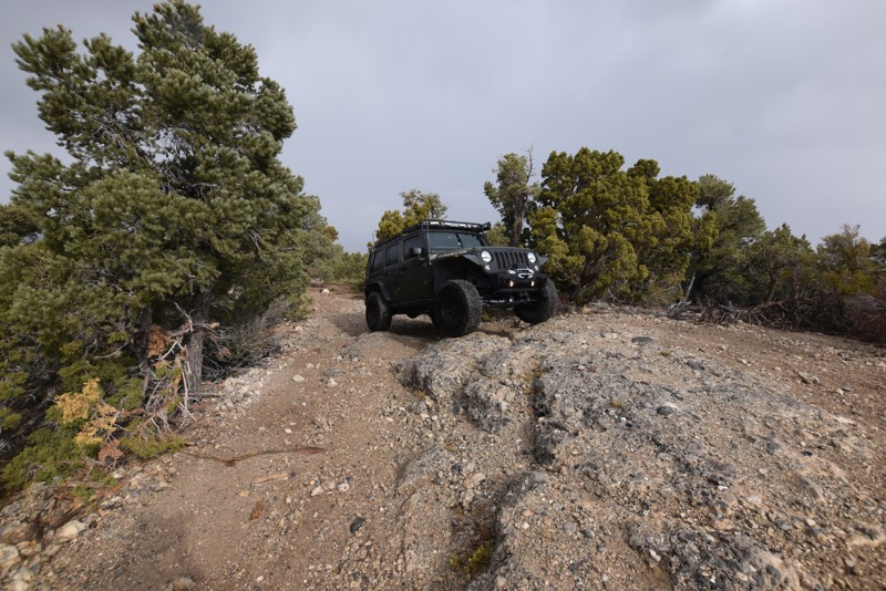
Updated: 11/17/2016
BM15 Road
Indian Springs, Nevada
BM15 Road is an off-road trail that is a relaxing drive through a Joshua Tree forest with views of the surrounding mountains and valleys. As you continue on the trail and begin to increase in elevation, the Joshua Trees will begin to merge with the evergreen trees. This 4x4 trail offers multiple small campsites. This is a great trail to escape the heat of Las Vegas during the summer.
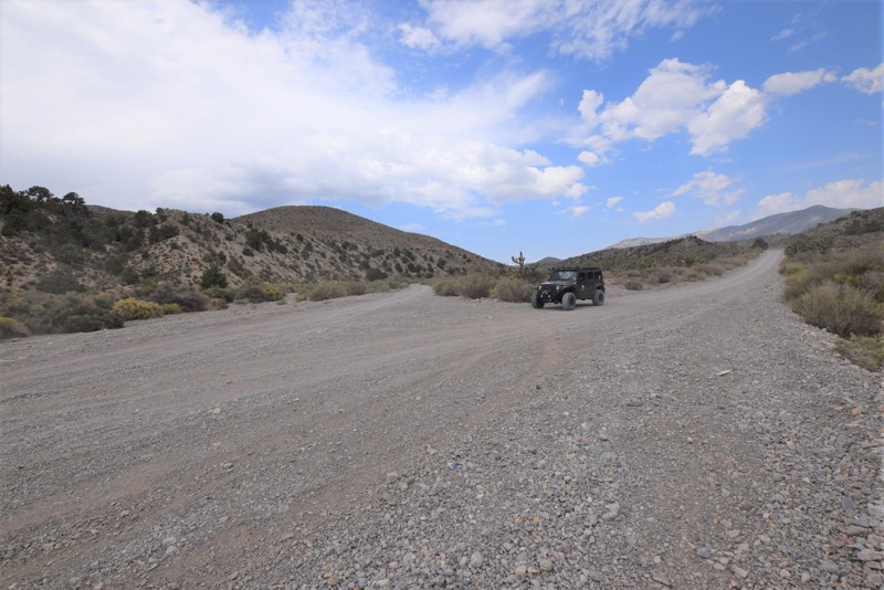
Updated: 07/29/2023
Clark Canyon Road
Pahrump, Nevada
Clark Canyon Road is an offroad trail located in the Spring Mountains National Recreation Area, off of Wheeler Pass Road. This is a great trail for scenic views, tall trees with shade and an escape from the Las Vegas heat and desert scenery.
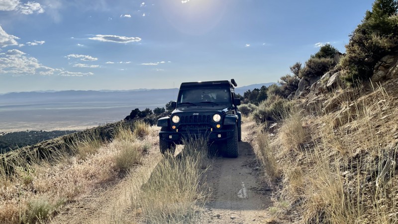
Updated: 10/15/2024
4324a
Austin, Nevada
FR 4324A is a short spur trail with incredible views! There is no camping directly on this steep, narrow trail, but there is in the immediate area. The trail begins near Stokes Castle, a historical landmark with a dispersed campsite next to it. This is an interesting spot if you are into mining history and great views.
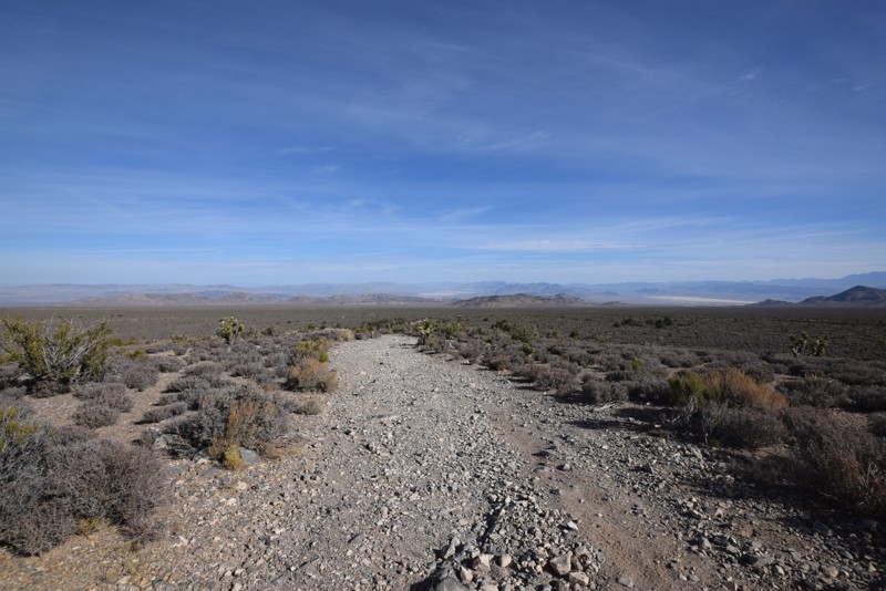
Updated: 06/05/2022
Mud Springs Road
Indian Springs, Nevada
Mud Springs Road is an off-road trail that is a relaxing drive through a Joshua Tree forest with views of the surrounding mountains and valleys. As you continue on the trail and begin to increase in elevation, the Joshua Trees will begin to merge with the evergreen trees. This 4x4 trail offers multiple small campsites and a larger site at the end. This is a great trail to escape the heat of Las Vegas during the summer that is off the beaten path.
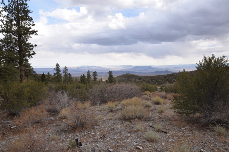
Updated: 01/16/2019
Camp Bonanza Road
Indian Springs, Nevada
Camp Bonanza Road is an off-road trail that is an easy, relaxing drive just outside of Cold Creek. This trail offers views of the surrounding mountains and valleys, as the trail increases in elevation, the evergreen trees with become more prominent. There are multiple medium campsites along this 4x4 trail with a large campsite and a hiking trailhead at the endpoint. This is another great trail to escape the heat of Las Vegas during the summer.
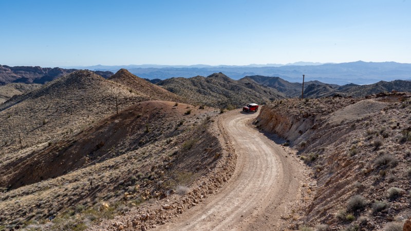
Updated: 12/18/2024
Nelson Cutoff
Nelson, Nevada
Hidden within the Eldorado Mountains southeast of Las Vegas, Nelson Cutoff, also known as "The Backway to Nelson," is a pavement-avoiding drive into a hauntingly captivating slice of history: the ghost town of Nelson. This once bustling mining town was a hub for gold and silver miners in the late 19th century. With a reputation for being one of the most violent and lawless mining towns of its time, legend has it that law enforcement completely avoided the town of Nelson. The Great Depression left the town nearly abandoned, and it wasn't until the late 1990s that it became a tourist hotspot. Whether you're a history buff, an intrepid explorer, or simply seeking a break from the hustle and bustle of modern life, Nelson offers an experience unlike any other. Come, lose yourself in the echoes of the past, and discover the magic of this enchanting ghost town.
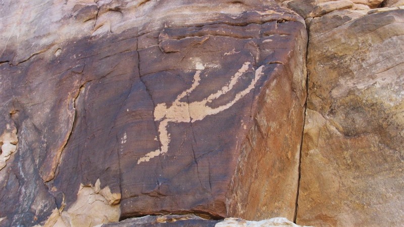
Updated: 12/13/2022
Falling Man
Mesquite, Nevada
Located within the remote Gold Butte National Monument, the Falling Man petroglyph site is where you can view over 100 different examples of ancient rock art. The area gets its name from the most unique glyph in the area, an image of a person that appears to be falling. Most of the artwork in the area is of the native wildlife and other geometric shapes, so the image of a falling man is very unique. The trail to reach the site is relatively easy, but it does require high clearance and durable offroad tires. There is a fenced-off parking area marking the hiking trail leading to the many white & red sandstone cliffs. As you easily walk through the many stone outcroppings, you have to keep an eye out for all the hidden artwork in the area.
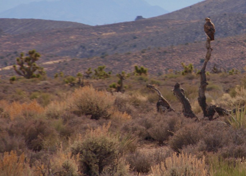
Updated: 04/18/2023
Badger Spring and Tickaboo Mountain Trail
Alamo, Nevada
The Badger Spring & Tickaboo Mountain Trail is a short spur off the Badger Valley Loop trail. It climbs from the Joshua tree forests of the high desert to the pine forests associated with the mountain ranges.
The Tickaboo Mountain Hiking trail offers some amazing views west into the atomic test site and beyond that the famous Area 51.
The area supports abundant wildlife from bighorn sheep to wild horses. Due to the elevation it is also a good place to escape the summer heat.
Click here for BLM Nevada
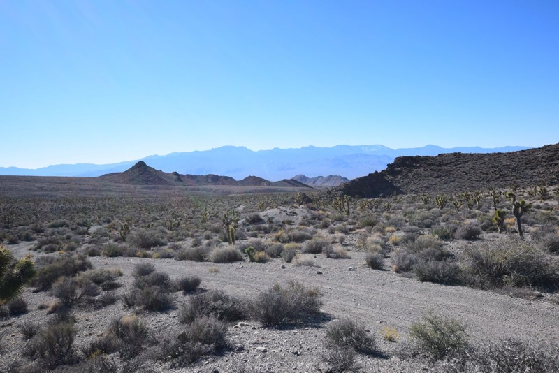
Updated: 06/05/2022
Cow Camp Road
Las Vegas, Nevada
Cow Camp Road, located in the Desert National Wildlife Refuge, has fantastic views of the desert landscape starting on the valley floor, passes through Black Hills Gap and ends at the base of the Sheep Mountain Range. There you will encounter a picturesque camping area with a historic corral. The road provides hiking access to Cow Camp Spring and Wagon Canyon.
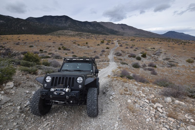
Updated: 06/16/2023
Arrowleaf Road
Indian Springs, Nevada
Arrowleaf Road, an off-road trail located in the Spring Mountains National Recreation Area, is a scenic drive with a hill climb/descent that is perfect for beginners to test their four-wheel drive skills. Arrowleaf Road can be used to access the network of trails located in the area.
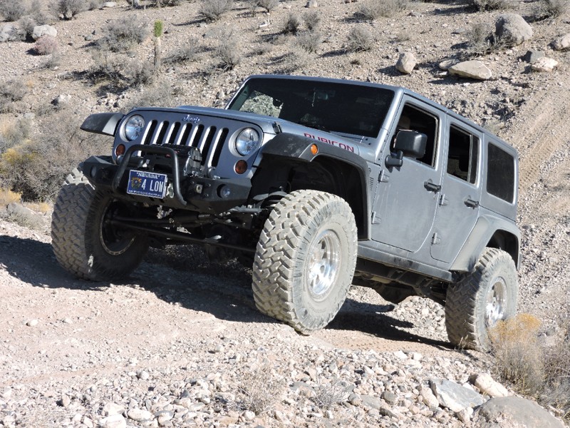
Updated: 06/05/2022
Fenceline Road - Southern Nye County
Pahrump, Nevada
The Fenceline Road backcountry 4x4 route in Southern Nye County has numerous minor and moderate sized washes to negotiate as you cross the alluvial fan created by erosion of the Spring Mountains to the east over millions of years. Great views of Charleston Peak, the Pahrump Valley, and all the way to Telescope Peak in Death Valley National Park some 70 miles away can be viewed on the usually clear days.
The trail is generally hard packed rock and sand, and the wash crossings can be very steep and even impassable depending on vehicle and driver skill. Grades exceed 30 degrees on the most difficult of wash crossings, but there are bypasses suitable for any stock 4x4 vehicle with high ground clearance
Be sure to keep your eyes open for Desert Tortoise as this is an area where BLM has released several of these endangered reptiles.
This route is an excellent trip for inexperienced drivers wanting to gain experience with wash crossings and associated hill climbs
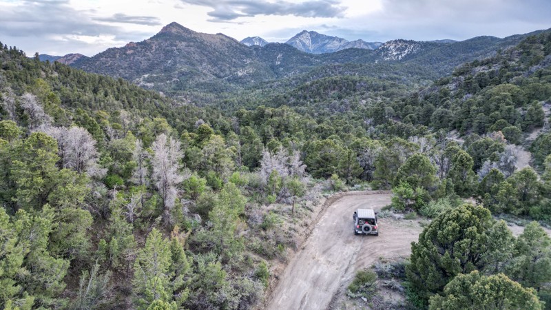
Updated: 10/03/2025
Cherry Creek Summit
Adaven, Nevada
Located entirely within the Humbolt National Forest, Cherry Creek Summit is a narrow mountain road that winds through scenic canyons and rock formations. Most of this dirt trail is surrounded by pine and cedar forests, with small spring-fed creeks flowing throughout.
The road's east end begins with a one-lane bridge and continues along private property on one side for a short distance. From east to west, the trail ascends into the mountain, becoming more of a shelf road, limiting the ability of oncoming traffic to pass safely.
Multiple pull-offs along the road have open camping areas, including FR 59411, which has the Cherry Creek primitive campground. There is also a large area at the summit with room for multiple rigs to set up camp.
Inclement weather, like heavy rain or snow, could render this trail impassable.
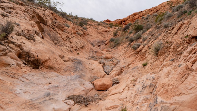
Updated: 10/15/2024
Rock Bottom
Amber, Nevada
Hitting Rock Bottom has a different meaning in Logandale. This severe trail follows a narrow rocky wash lined with obstacles. A gatekeeper guards the entrance of the wash. If this obstacle proves to be too much, you may as well turn around now. Heavily modified vehicles are put to the test on this twisty and narrow trail. Camping is not an option. There are many opportunities along the nearby Logandale Main Loop.
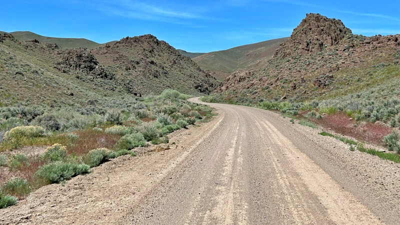
Updated: 04/23/2025
Leadville Road
Gerlach, Nevada
Leadville Road is a well-maintained county gravel route that guides you through a tapestry of historic and scenic wonders. Along the way, you can explore the rugged beauty of Razor Canyon, delve into the rich history of the Leadville Mining District, marvel at the ancient Lund Petrified Forest, and wander through the haunting remnants of the ghost town of Vya. Each stop promises a unique glimpse into the past and the region's natural splendor.
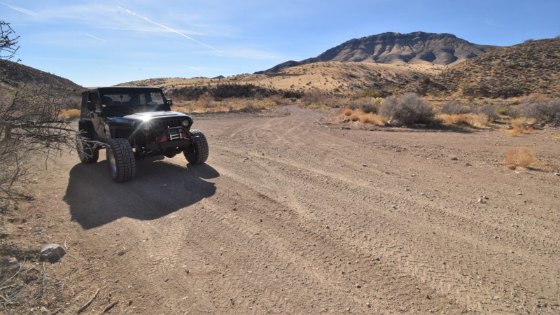
Updated: 06/05/2022
Lime Mountain
Beaver Dam, Nevada
Lime Mountain is a vital connector trail for continuing across this remote and harsh desert environment of eastern Nevada. The entire route is an easy crushed gravel road traveling far out into the Nevada desert. The route easily allows access to rock hounding, hiking, and remote primitive camping. You will pass by the 6,936 foot tall Lime Mountain, winding through a region covered in Joshua trees, creosote bush, white bursage, and other desert shrubs. The region is a habitat for desert bighorn sheep and the Mojave Desert tortoise. The route connects with other truly remote trails that will take you far away from any signs of civilization.
Since the introduction of cattle grazing, non-native grasses have spread across the area, forever altering the landscape. Wildfires are rare occurrences in the Mojave Desert region, so these changes led to fires in 1993, 2005, and 2006. Some of the large Joshua tree forests were lost, however, this route travels through a very large section that has been able to survive. The trees create a densely packed forest; most of them are massive, growing as tall as 49 feet. They can live for hundreds of years; some specimens survive a thousand years. It's believed these trees likely got their name from the first Mormons migrating through this area.
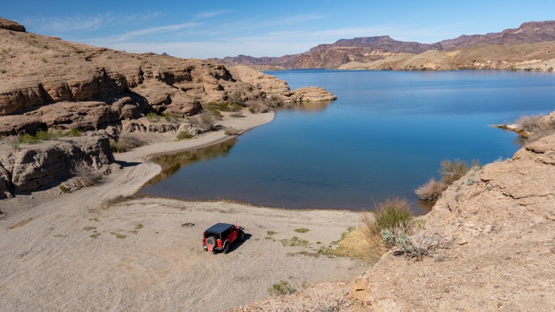
Updated: 09/29/2025
Montana Wash Road
Nelson, Nevada
Located within the Lake Mead National Recreation Area, Montana Wash Road is an easy, dead-end gravel trail that follows along a dry wash to Morning Star Cove along the Colorado River. The road surface is generally coarse sand with shallow tire ruts and occasional washboards. Like other trails in the area, you will be rewarded with open desert views, lake views, and views of Fire Mountain along this trail. However, views at the end of this trail are absolutely fantastic along the cove, with several hiking opportunities up and down the river. The trail ends at a very large cove with two great dispersed campsites. If you have friends with a boat, this would be a perfect cove to meet them at. There are no amenities for these campsites and users must pack out everything they pack in, including human waste.
This trail is suitable for any high clearance vehicle and can easily be completed in 2WD.
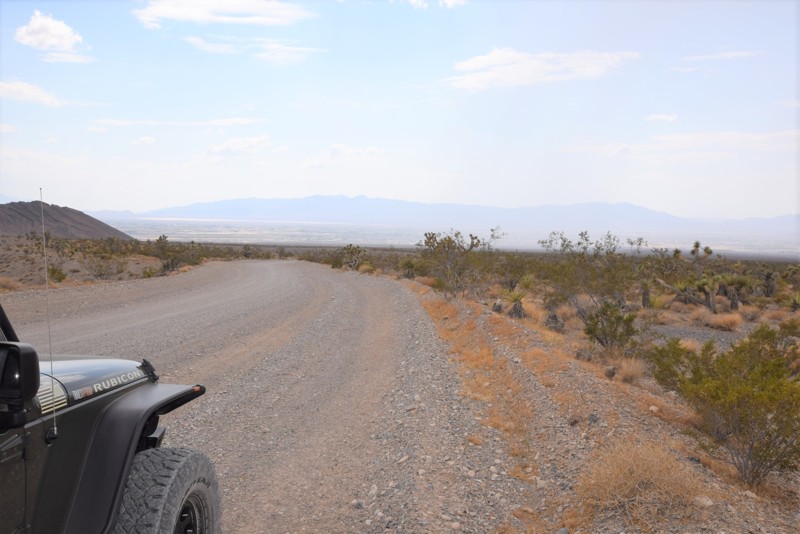
Updated: 04/29/2019
South Branch Wheeler Pass Road
Pahrump, Nevada
South Branch Wheeler Pass Road is a scenic off-road trail branching off of Wheeler Pass Road, just north of Pahrump in the Spring Mountains National Recreation Area. The trail gives you a choice of a different start point or end point when entering the Recreation Area from Pahrump and offers views of the surrounding desert landscape.
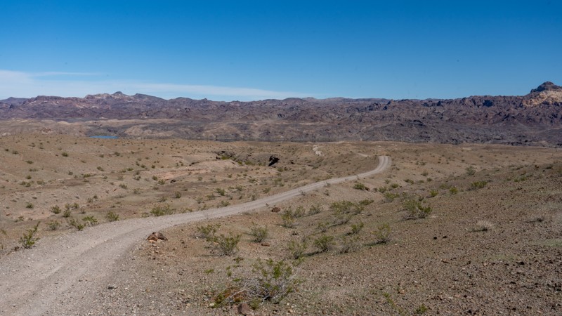
Updated: 07/07/2026
Fire Mountain Cove Road
Nelson, Nevada
Fire Mountain Cove Road, located in the Lake Mead National Recreation Area, is a 5-mile dead-end road that offers users non-stop scenic views and tremendous dispersed camping as it traverses a ridgeline heading straight at Fire Mountain. The road is not difficult, but it is extremely bumpy due to the long stretches of washboard. The road surface is generally hard-packed dirt with scattered patches of coarse sand and loose gravel. The rolling hills and sweeping turns of this trail keep the drive entertaining, and as you approach the Colorado River, the sides of the trail become lined with posts and cable, delineating the trail and camping area. The first campsite you encounter is a large, flat campsite looking directly at Fire Mountain. This site is great for groups of 5-6 vehicles and suitable for small offroad trailers and ground tents. Continuing towards the river, you will pass two small campsites next to the road before reaching a Y-intersection, where you will continue to the final round-about campsite just above Fire Mountain Cove. These last few campsites are best for vehicle camping and ground tents. There are no amenities for these campsites, and users must pack out everything they pack in, including human waste. This trail is suitable for any high clearance vehicle and can easily be handled in 2WD or with an AWD crossover-type vehicle.
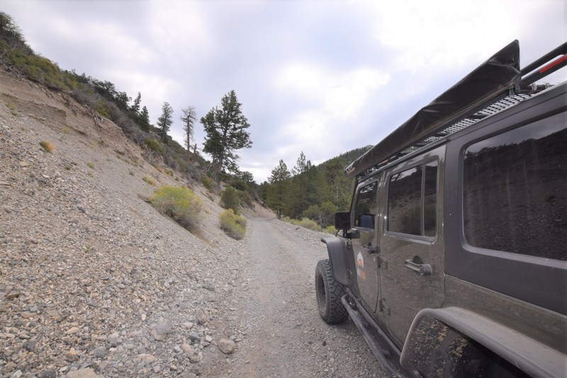
Updated: 07/29/2023
Wheeler Pass Cutoff Road
Pahrump, Nevada
Wheeler Pass Cutoff Road located in the Spring Mountains National Recreation Area, north of Las Vegas is an off-road connector trail that joins Wheeler Pass Road and Clark Canyon Road. The trail provides a relaxing drive with cooler temperatures and a change in the desert scenery due to being at a higher elevation.
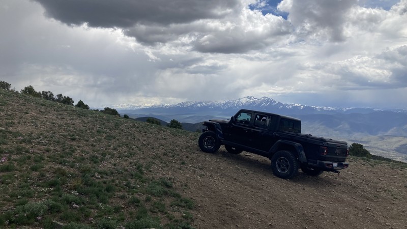
Updated: 10/15/2024
Microwave Road
Pine Grove, Nevada
Microwave Road in the majestic Toiyabe National Fores offers magnificent landscapes and tranquil seclusion. The trail winds through a captivating terrain adorned with sage, pinyon, and juniper trees. The 9-mile trail is just off Nevada Highway 338, south of Wellington, Nevada. Microwave Road is a well-maintained gravel track wide enough for two vehicles to pass and is fine for passenger cars. The trail ends at a microwave station and tower.
While dispersed camping is permitted in Toiyabe National Forest, no discernible dispersed campsites were apparent along the trail. Ten miles from the Microwave Road trailhead, Desert Creek Campground offers year-round camping. Managed by the Forest Service, this campground caters to both tent and trailer camping, and reservations are unnecessary. Water and restroom facilities are not available at this location.
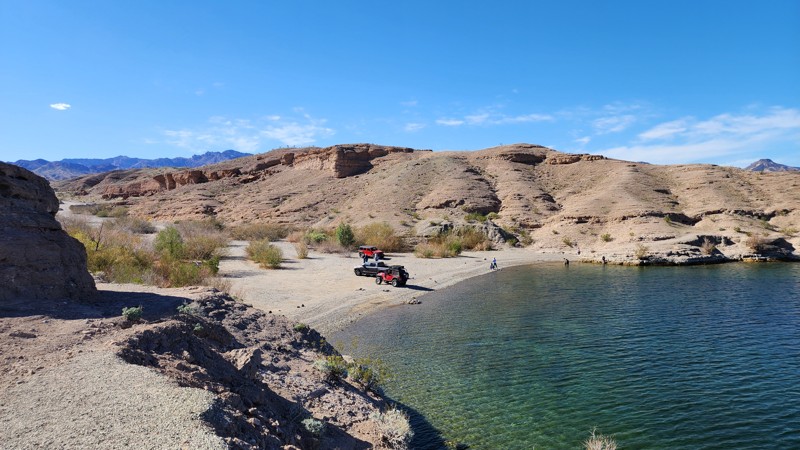
Updated: 09/29/2025
Eagle Wash Road
Nelson, Nevada
Eagle Wash Road, located within Clark County, is a straight-through gravel connecting road between Aztec Wash and Nelson's Landing. The road makes its way through Eldorado Canyon, traversing a wide desert wash with coarse sand, gravel, and small ruts, before ending along the edge of the Colorado River, where Nelson's Landing marina once stood. On September 14, 1974, a flash flood roared down the canyon after 5 inches of rain fell on the mountains to the west. The flood came in three waves, drowning nine people and carrying 38 vehicles, 23 boats, boat slips, trailers, cabins, a restaurant, and a store into Lake Mojave. The marina was never rebuilt, which is a grave reminder of the severe flash flood risks surrounding this particular wash. Although the cove is a popular hangout spot for water activities, there is no camping along this road or within the cove. Pit toilets and trash receptacles can be found at the intersection with Nelson Road.
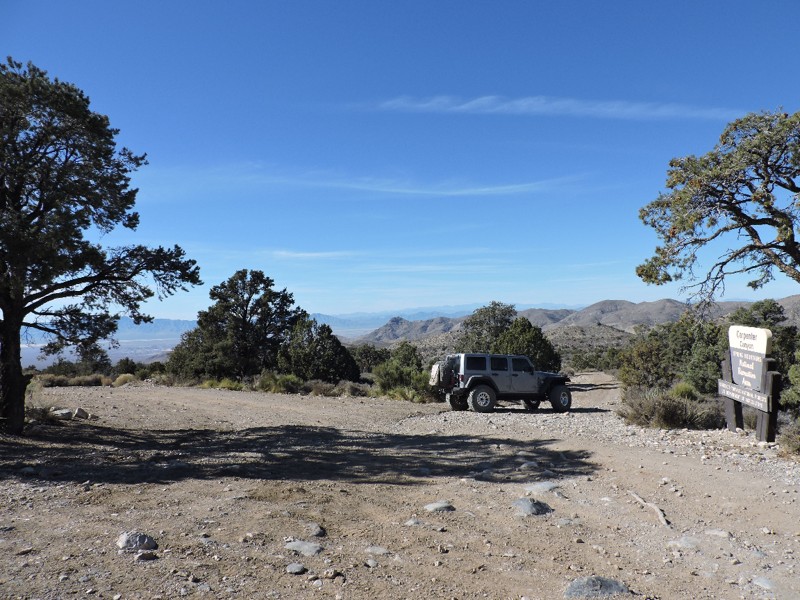
Updated: 01/17/2019
Loop Boundary Road
Pahrump, Nevada
Loop Boundary Road is a moderately difficult, very scenic, and crucial 4x4 connector route for the continuous backcountry trail network along the west side of the Spring Mountains National Recreation Area (SMNRA). This backcountry 4x4 trail near Pahrump offers spectacular views from Charleston Peak to Telescope Peak in Death Valley National Park some 70 miles to the west. The route runs through high desert and the coniferous forest climate zone, with a total altitude change of nearly 4000 feet.
The Spring Mountains National Recreation Area is part of the Humboldt-Toiyabe National Forest. Better known to locals as Mount Charleston, it is located west of Las Vegas and encompasses more than 316,000 acres of remarkable beauty and surprising diversity.
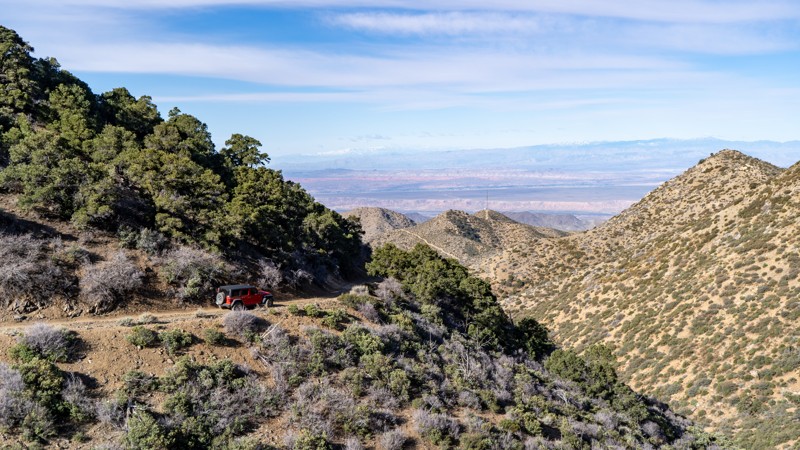
Updated: 03/09/2026
Cabin Canyon
Scenic, Nevada
Cabin Canyon trail winds its way through the foothills of the Virgin Peak Mountains south of Mesquite. This 11-mile rocky trail climbs 3500 feet, guiding users from typical Nevada desert scenery with cactus, joshua trees, and creosote bushed to high elevation mountain scenery with juniper, small pines, and shadscale bushes. The trail begins as an easy, maintained road but quickly enters the narrow canyon littered with rocks. Spring runoff causes small streams to cut across the trail, creating occasional obstacles, including the most challenging part. 4WD is advisable due to the moisture and steeper hills with loose dirt. Dispersed camping is plentiful before entering the canyon, with a few different types of scenery.
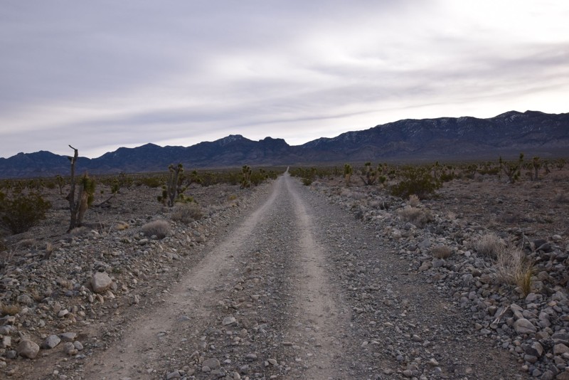
Updated: 06/05/2022
Hidden Forest Road
Las Vegas, Nevada
Hidden Forest Road is located in the Desert National Wildlife Refuge that ends in a nice camping area with great views of the desert valley and mountains surrounding the area. Hidden Forest Road is off of Alamo Road http://www.trailsoffroad.com/trails/988-alamo-road. This is a nice easy drive to a perfect campsite/base camp for exploring the Deadman Canyon and the Hidden Forest hiking trail. This would be a great base camp while exploring Alamo Road and the other trails in the area.
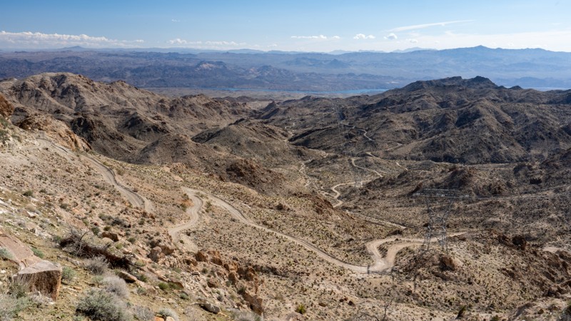
Updated: 10/15/2024
West Powerline Wash Road
Nelson, Nevada
Located less than one hour southeast of Las Vegas, West Powerline Wash Road is a narrow, straight-through, bumpy dirt road that is easily one of the most spectacular roads you will find in southern Nevada. It features incredible geologic formations, dense stands of teddy bear cholla cacti, enormous barrel cacti, and gorgeous views of the Eldorado Mountains. This trail does not have any major obstacles, but the road is rough and slow the entire way, with small, brick-sized protruding rocks, teeth-chattering washboards, and shallow ruts and washouts. The eastern half of the trail might be mentally challenging for those not comfortable with shelf roads.
Beginning at Highway 95, the trail travels under the thin shadow of high-voltage powerlines across a washboard road through the Mojave Desert. Around 5 miles, the trail begins gaining elevation and enters an area known as "Knob Hill," where you encounter enormous rock formations appearing like giant piles of potatoes. Several spurs in this amazing wonderland of rocks dart off to epic dispersed camping spots with fantastic views back down into the valley you came from. As the road continues east, it narrows to a single-lane road, 1.5 vehicles wide, with plenty of pullout opportunities as it weaves along the edge of the Ireteba Peaks Wilderness. Twisting and turning, climbing and falling, the road snakes its way through the scenic mountains, offering jaw-dropping views of jagged peaks, the Colorado River, and Lake Mojave. You will cross many washes and cling to the edge of numerous hillsides as the trail drops an incredible 3,000 feet in just under 10 miles. The trail enters the Lake Mead National Recreation Area and comes to an end at a connection with Aztec Wash, just a couple miles west of the Colorado River.
This trail is suitable for any high clearance vehicle and drivers at any skill level. Expect the trail to take 2-4hrs of travel, one direction, and an additional 1-2hrs to return to Highway 95 via Aztec Wash.
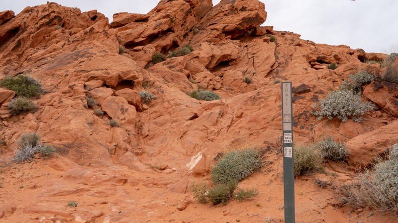
Updated: 10/15/2024
Bronco Falls
Amber, Nevada
Bronco Falls lies next to Shredder Trail but offers a bit more punch. This rocky trail is well suited for modified rigs and experienced drivers wanting a little more challenge. Numerous obstacles lie along its short span. Camping is not an option directly on this trail, but the nearby Logandale Main Loop has plenty of options.
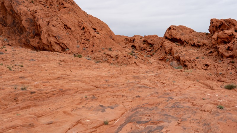
Updated: 10/15/2024
Shredder Trail
Amber, Nevada
Lying near the entrance to Logandale, this challenging rocky trail winds through a small, tight canyon. Several small obstacles challenge lightly modified rigs, providing a short bit of fun, assuming everything goes well. Combine this trail with one of the others in the area for a half or full-day adventure! Camping is not an option directly on this trail, but the nearby Logandale Main Loop has plenty of options.
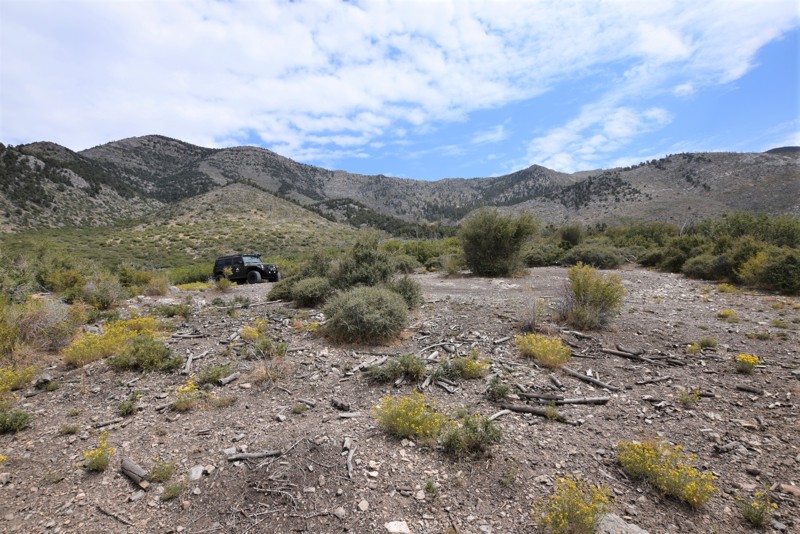
Updated: 04/29/2019
Trough Spring Road
Indian Springs, Nevada
Trough Spring Road is a scenic off-road trail near Wheeler Pass Road, just north of Las Vegas in the Spring Mountains National Recreation area with pine trees, cooler temperatures and an endpoint with an open campsite with great views of the surrounding hills.
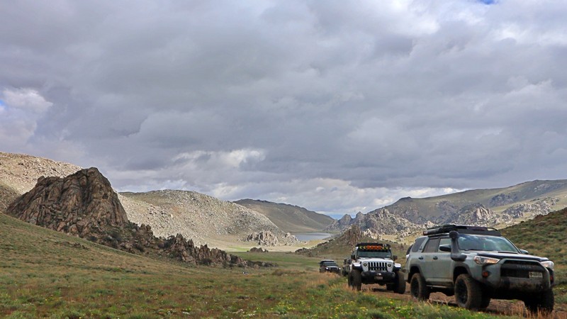
Updated: 10/15/2024
Knott Creek Reservoir
Dyke, Nevada
Hidden in the pristinely beautiful Pine Forest Mountains, Knott Creek Reservoir is rightly considered one of the prettiest lakes in Nevada. The Nevada Department of Wildlife manages and stocks the reservoir with cut bow and tiger trout, making it popular with anglers. Camping around the lake is primitive. Due to muddy conditions, road access can be difficult early and late in the season. 4WD is recommended.
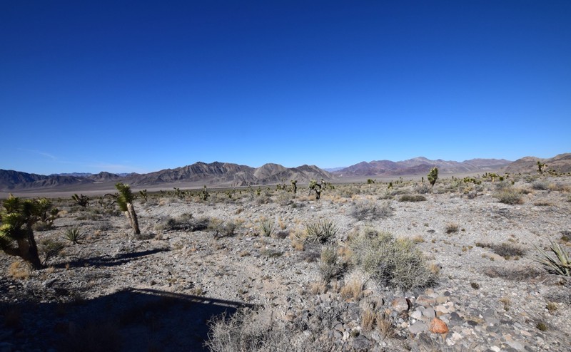
Updated: 03/30/2023
White Rock Road
Las Vegas, Nevada
White Rock Road located in the Desert National Wildlife Refuge just outside of Las Vegas, Nevada. This short trail is an easy drive up to a flat camping that can easily fit 5-8 vehicles and tents in the area with fantastic views of the desert valley and an entrance for hiking into the White Rock Canyon.
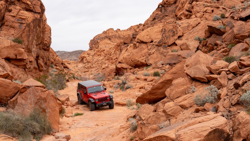
Updated: 10/15/2024
Hidden Canyon
Amber, Nevada
Hidden Canyon is a neat trail running through a tight canyon from Logandale Main Loop to West Rim Alternate. This rocky trail has numerous obstacles suited for modified vehicles and experienced drivers. Although most obstacles are easier than nearby Shredder Trail and Bronco Falls, one waterfall requires attention and a slight lift at a minimum. Running this trail from east to west will make the waterfall an uphill challenge and significantly harder. Downhill (west to east) is recommended if you have any concerns. There is one campsite on the eastern side, right where it meets with Logandale Main Loop.
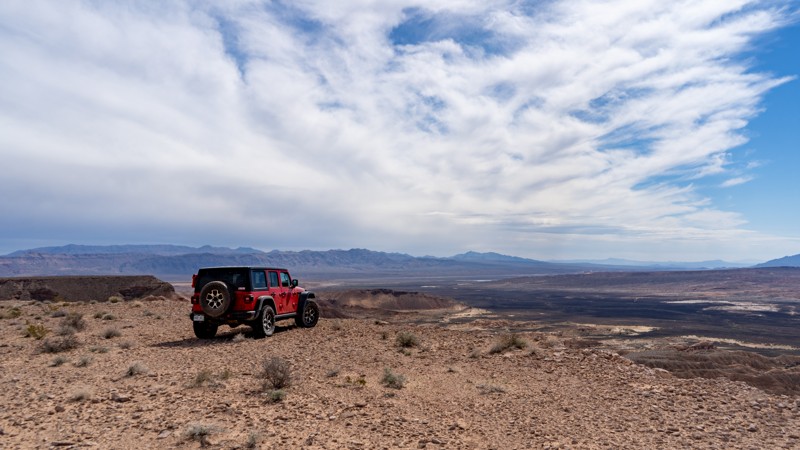
Updated: 10/15/2024
Mormon Mesa Rim
Amber, Nevada
Mormon Mesa Rim is a long-winding trail covering over 22 miles along the circumference of Mormon Mesa. This trail is incredibly bumpy for the majority of the western side and about half of the eastern side. There are a few patches of smooth road, but they don't last long enough to really pick up any speed. Traveling the eastern portion of this trail takes you to the "Heart of the Mesa" and above the Moapa Valley M on the side of the hill. Camping is available along the rim with great views. However, none of it is ground tent friendly due to the rocky dirt.
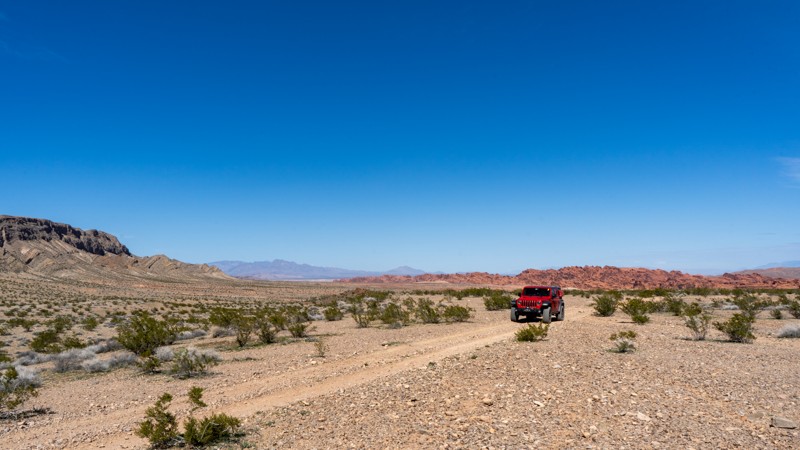
Updated: 03/19/2025
Trail H
Moapa Valley, Nevada
One of the longer trails in the area, Trail H connects Logandale Main Loop to Weiser Valley. This trail is relatively easy, including a rather flat and calm section that allows an increase in speed. On the western portion, you will enter a wash where the trail gets bumpier. Expect washouts since this is an active wash. 4WD may be necessary depending on the conditions of this side of the trail. No campsites exist on this trail, but Logandale Main Loop has plenty of dispersed campsites.
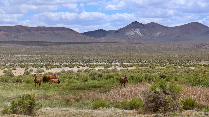
Updated: 10/15/2024
Applegate Trail/Double Hot Springs/Black Rock Hot Springs
Swedes Place, Nevada
This trail runs along the eastern side of the Black Rock Desert playa. It follows the historic Applegate/California Trail and passes Double Hot Springs, historic boiling hot springs that pioneers used to wash clothes and cook food. The Black Rock Hot Springs are cool enough to soak in. Both hot springs have dispersed camping areas. The road is flat and relatively easy, albeit bumpy, due to the natural gullies formed from the water coming off the mountains.
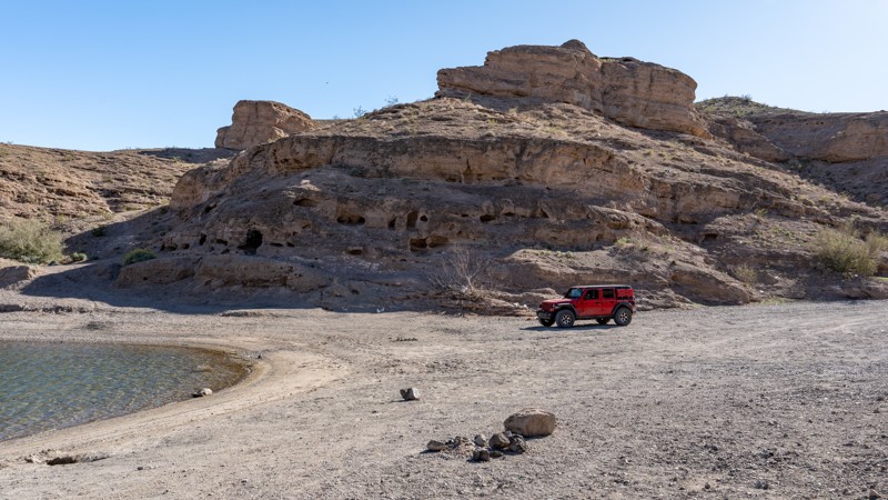
Updated: 09/29/2025
Placer Cove Road
Nelson, Nevada
Placer Cove Road, located within the Lake Mead National Recreation Area, is a short dead-end spur road south of Eagle Wash that leads to Placer Cove, a popular spot for cliff jumping. The cove at the end of the road provides a great place to hang out, swim, or conduct other water activities. The road surface is mainly hard-packed dirt with spots of small protruding rocks and short sections of coarse sand and gravel. The road is easily traversed by just about any vehicle, but users should be prepared for a slightly bumpy drive. Camping is not allowed along Placer Cove Road, but there are pit toilets located within the cove. Additionally, trash receptacles can be found at the start of the trail at the intersection with Eagle Wash.
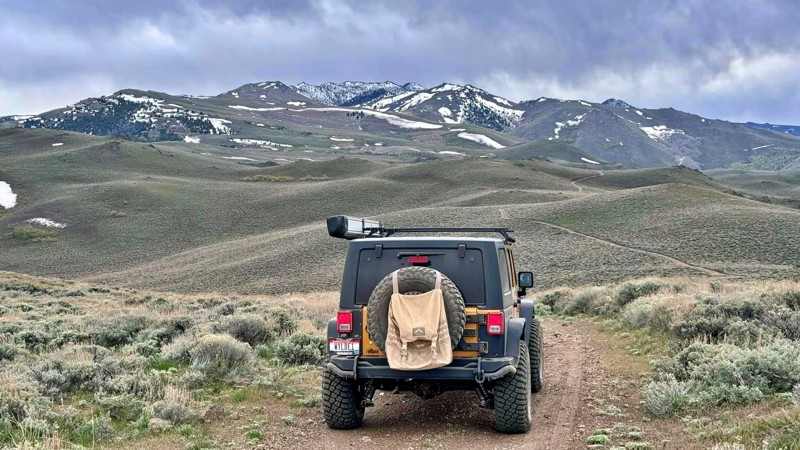
Updated: 05/28/2026
Alta Canyon
Dyke, Nevada
Alta Canyon provides access to rugged terrain, stunning mountain vistas, and opportunities for camping, hiking, and excellent fishing. Dispersed camping is allowed throughout the area, while Onion Valley Reservoir and Knott Creek Reservoir feature primitive campgrounds with designated campsites. Due to the narrow and rocky trail, 4WD and high-clearance vehicles are recommended. The remote area is typically accessible only during the summer, as winter brings heavy snowfall and ice accumulation.
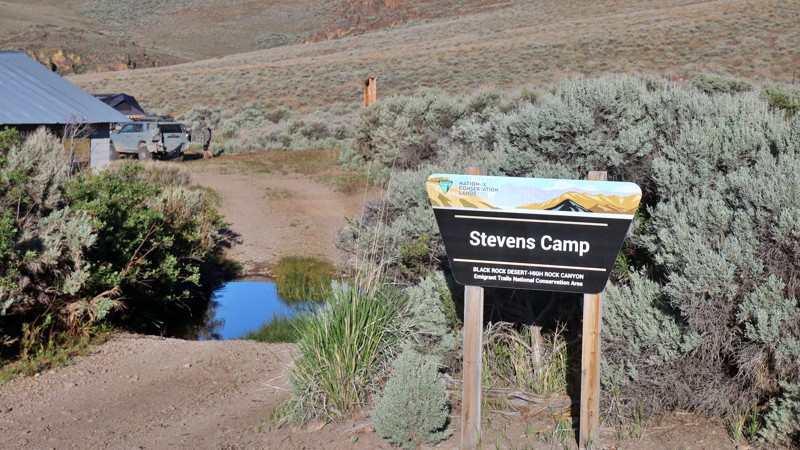
Updated: 08/11/2025
Stevens Camp Road
Swedes Place, Nevada
Steven's Camp Recreation Area offers visitors a first-come, first-serve desert cabin in a unique setting of desert rims, expansive vistas, and lush meadows. The cabin features wood heat and a propane range for cooking, with hook-ups for generators and propane tanks to power electric lights and the range. Inside, you'll find a combined kitchen, community room, and two small bunk rooms. The recreation area is fenced off by livestock. It includes horse corrals, primitive campsites, a vault toilet, and access to the Upper High Rock Canyon Trail, making it an ideal spot for adventurers and nature enthusiasts. There are surrounding campsites in the area near the cabin. The access trail from the camp recreation area to State Route 8 is relatively easy, with a rough dirt base.
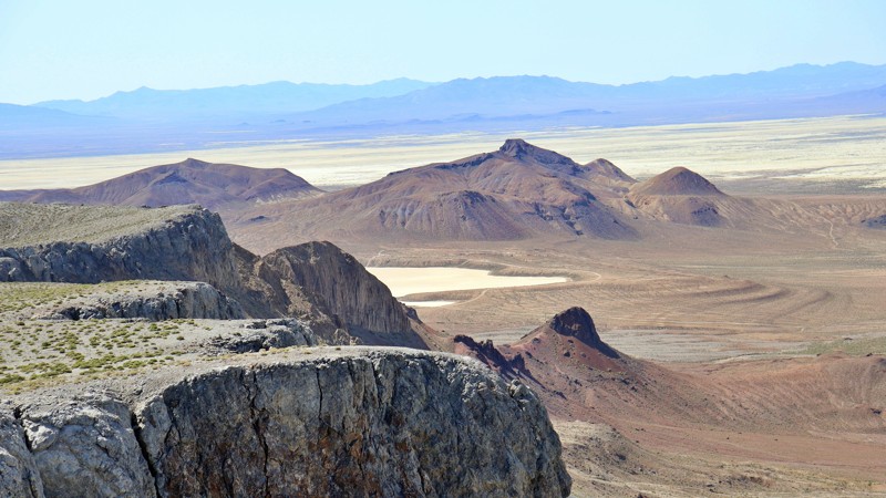
Updated: 10/15/2024
Black Rock Microplayas & Overlook
Sulphur, Nevada
Starting at the soothing Black Rock Hot Springs and the majestic base of Black Rock Point, this trail leads you through an adventure like no other. Winding its way to hidden micro playas, it unveils perfect camping spots in cozy coves. The journey culminates at the mountain's summit, where breathtaking panoramic views of the vast Black Rock Desert and Playa await. The trail is a rugged dirt track dotted with unexpected washouts and gullies, making a 4WD essential for conquering the steep climbs to the overlook.
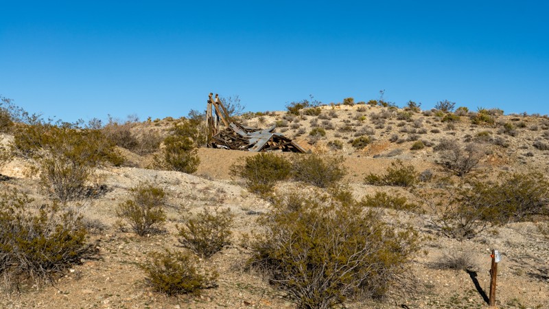
Updated: 10/15/2024
Combination Mine Road
Nelson, Nevada
Combination Mine Road is a simple and easy dead-end road used primarily to access the southern end of the Nelson Rollercoaster trail. The road is located in close proximity to Nelson, Nevada, and was once part of the Colorado-Eldorado Mining District. Due to the high level of mining that took place in this area, you will find many rotting mine structures and closed-off mine shafts as you make your way down the loose dirt and gravel road. Starting at the Nelson Cutoff, Combination Mine travels down a washboard Mojave Desert track for 3 miles, passing several large areas used for camping and multiple mining relics until reaching a Y-intersection with Nelson Rollercoaster. The last half mile of the trail is uneventful and comes to an abrupt end at private property. This trail is easily traveled by any vehicle but is best to run in combination with other trails in the area that might require a more robust 4wd than what is required to travel this road.
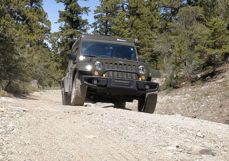
Updated: 10/15/2024
Mack's Canyon Branch
Lee Canyon Summer Home Area, Nevada
Mack's Canyon Branch is a .81 mile moderate out and back trail at 7,997' elevation with 3 or 4 dispersed campsites. The entrance to the trail has washed out fingers to negotiate from some previous flooding. Later the trail offers a short, steep incline with a sharp boulder at the top and an off-camber descent. You then descend into a short, sharp, steep drop slightly off-camber. The most challenging part of this trail occurs about .6 miles in. A washed-out incline with exposed tree roots and potholes requires a bit of driver skill. There is a campsite at the top. It's also an excellent place to turn around if you are in a convoy of vehicles. The trail's end has a campsite and narrow space to turn around a single vehicle. This is a slot canyon with much of the trail running in a wash. Be aware of the flash flooding potential.
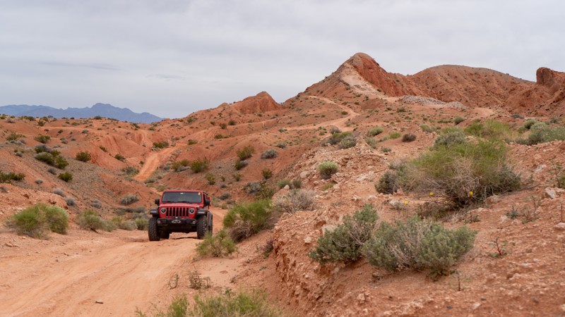
Updated: 10/15/2024
West Rim
Amber, Nevada
West Rim runs parallel to Logandale Main Loop on the outside of the rocks. This moderate trail provides small rocky patches, loose climbs and descents, and minor washouts. Full-width vehicles may struggle with the narrowness of this trail, especially if a storm has rolled through and washed out the northern portions in the dirt hills. This is an excellent trail to bypass the more popular route through the canyon, as you will likely be alone out there. Camping is not an option directly on this trail, but the nearby Logandale Main Loop has plenty of options.
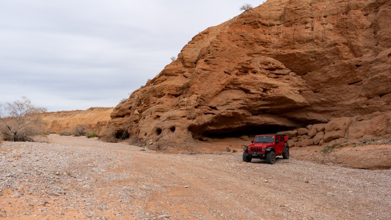
Updated: 10/15/2024
Overton Wash
Moapa Valley, Nevada
Overton Wash is a great access point to quickly get into the Logandale Trails network directly from the town of Overton. The trail begins in the wash before quickly climbing in elevation with a great view of the town below. The trail transitions from the sandy wash bottom to loose dirt with rough rocks. 4WD is necessary to climb the steeper grades. Camping and shooting are quite popular along this route, so you will likely not be alone on this short trail.
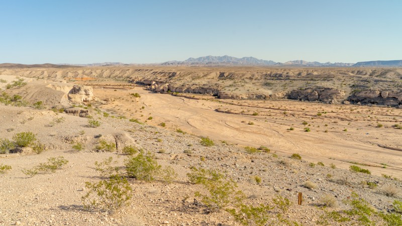
Updated: 02/10/2026
Upper Gypsum Wash Road
Henderson, Nevada
Upper Gypsum Wash Road is a short out-and-back trail leading to a viewpoint overlooking Las Vegas Wash, Gypsum Wash, and Las Vegas Bay. The road is flat and graded, but no dispersed camping is located or allowed on this 1.5-mile stretch. There is plenty of room at the dead end for vehicles to stop, take photos, and turn around. To find camping, travel farther down Northshore Road to 8.0 Road or Boxcar Cove Road. Don't forget that visiting the Lake Mead National Recreation Area requires payment of a fee.
Updated: 10/15/2024
Microwave Tower Road
Goodsprings, Nevada
Microwave Tower Road is a 4-mile dead-end road that leads from the town of Goodsprings to the Potosi Tower radio equipment site. The road climbs sharply, gaining 1,700 vertical feet in just under 4 miles, and twists through numerous switchbacks as you make your way up the mountainside, taking in spectacular views in all directions. From the summit, breathtaking views all the way across the California border and down into the Las Vegas strip will make this trip well worth the drive. The road surface is generally two vehicles wide the entire way, with a few slightly narrower sections but nothing on the edges of the cliffside. The road is well-maintained and smooth the entire way, making it suitable for any vehicle.
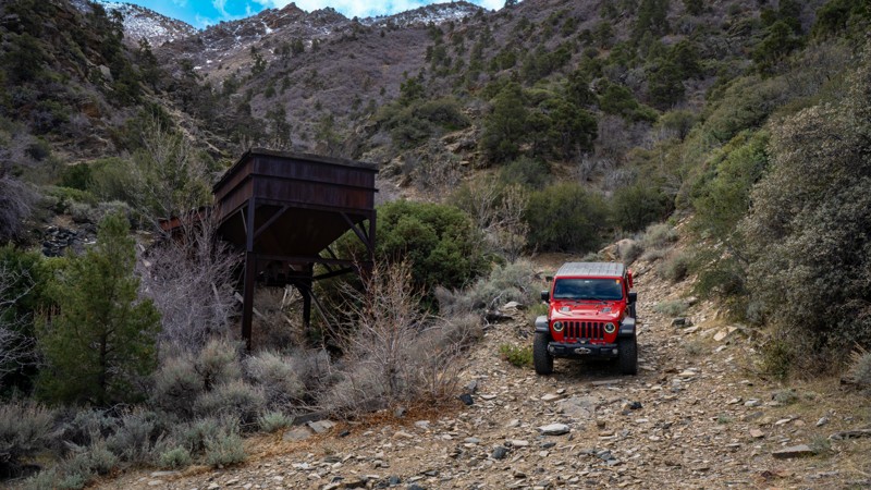
Updated: 07/05/2025
Silver Leaf Mine
Bunkerville, Nevada
The Silver Leaf Mine winds up a narrow canyon, leading users to an old structure. Calling this a bumpy trail is an understatement. This difficult, rocky, and likely wet trail is very demanding for such a short distance, as you are driving in a drainage for snowmelt most of the time. Consistent 6-8 inch round rocks plaster the trail with occasional rocks in the 1-2 foot range. The wet nature of the trail early in the year adds to the difficulty. The trail once extended beyond the mine, but a rockfall has made the trail impassable to full-size vehicles. No campsites are along this trail, but nearby Cabin Canyon has multiple dispersed options.
Updated: 07/29/2023
W Willow Peak Road
Indian Springs, Nevada
W Willow Peak Road, a backcountry road located in the Spring Mountain National Recreation Area, is a connector trail between Wheeler Pass Road and Trough Spring Road. Near the middle of the trail is Willow Peak Spur Road with a nice campsite at the end. There is plenty of scenery to observe while on the trail. This is a great trail to explore during the summer months as it is cooler than Las Vegas.
Don't forget to bring sunscreen, water, snacks, and your camera.
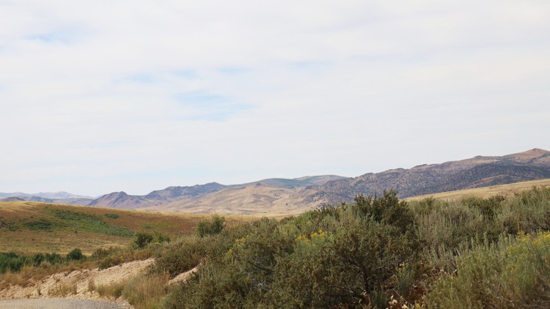
Updated: 10/15/2024
Gold Creek/Meadow Creek
Wild Horse, Nevada
Gold Creek, also known as Meadow Creek Road, offers a journey that starts off Highway 225 by the serene Wild Horse Reservoir and winds through diverse landscapes before ending at Rowland Road in the Humboldt-Toiyabe National Forest. This relatively easy trail begins by meandering through picturesque ranchland, where wide-open fields stretch beneath the expansive sky.
As you continue, the trail ascends into the forested embrace of The Mahoganies, where the air grows cooler and the scenery shifts to towering trees and dappled sunlight. You’ll find Big Bend Campground, a serene spot nestled among the trees, offering a perfect setting for a peaceful night under the stars. The forest also provides numerous opportunities for dispersed camping, allowing you to set up camp in the tranquility of nature.
Gold Creek is more than just a trail; it’s a passage through the varied beauty of Nevada’s wilderness, from the pastoral charm of ranchland to the rugged splendor of the forest.
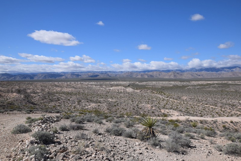
Updated: 06/05/2022
Sawmill Road East
Las Vegas, Nevada
Sawmill Road East is a great trail for new drivers entering the world of off-roading. This trail offers packed dirt, small to medium gravel, mild to deep sand, washes, a hill climb and multiple ruts in the road. This would be a great base camp to explore all of the unnamed trails and washes that extend in all directions. There are multiple other camp sites along the trail.
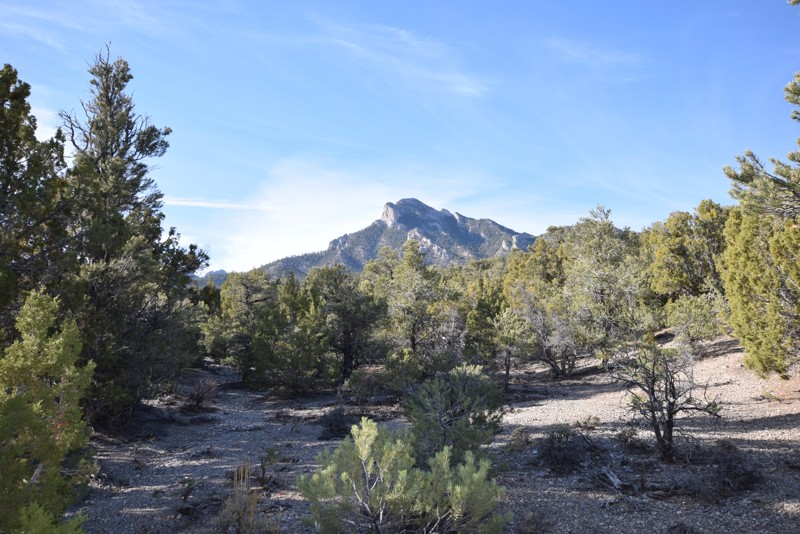
Updated: 01/18/2019
Mud Springs Spur Road
Indian Springs, Nevada
Mud Springs Spur Road is an off-road trail that is a relaxing drive through a Joshua Tree forest with views of the surrounding mountains and valleys. As you continue on the trail and begin to increase in elevation, the Joshua Trees will begin to merge with the evergreen trees. This 4x4 trail offers multiple small campsites and a larger site at the end. This is a great trail to escape the heat of Las Vegas during the summer.
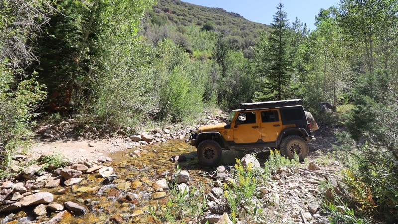
Updated: 10/15/2024
Jarbidge Canyon
Jarbidge, Nevada
Jarbidge Canyon, an in-and-out trail accessed from Charleston-Jarbidge Road, is a cherry-stem road carved through the heart of the Jarbidge Wilderness and offers an exhilarating journey into one of Nevada's most remote and untouched landscapes. This rugged trail is a mix of rough dirt and rocky creek beds, winding alongside the headwaters of the Jarbidge River. The trail's wild and untamed character demands a high-clearance vehicle, making it a true adventure for those who dare to explore.
As you navigate Jarbidge Canyon, the air is filled with the scent of pine, and the sound of the river accompanies your journey. Along the way, you'll find the Pine Creek and Bluster Campgrounds, offering a rare opportunity to camp amidst the wilderness. The trail eventually leads to the trailhead for the Jarbidge River Trail and Jarbidge Lake, where the road ends and the adventure continues on foot. Jarbidge Canyon is a gateway to the wild, where the road is as rugged as the landscape it traverses, leading you deeper into the beauty and solitude of the wilderness.
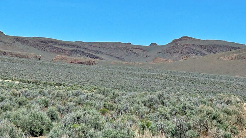
Updated: 10/15/2024
Smoky Canyon
Swedes Place, Nevada
Smoky Canyon is the gateway between the historic Leadville Road and the iconic High Rock Canyon. This rugged trail beckons adventurers to journey through untamed terrain, where nature's raw beauty awaits. The first 11 miles of the trail are relatively smooth, while the last 3 miles can be rougher due to washouts and gullies caused by the previous winter. These rough sections challenge your trek but tend to smooth out as the trail is used more from spring to fall. A high-clearance vehicle is recommended. At the trailhead of Little High Rock Canyon, a potential campsite offers a haven for those eager to immerse themselves fully in the wilderness.
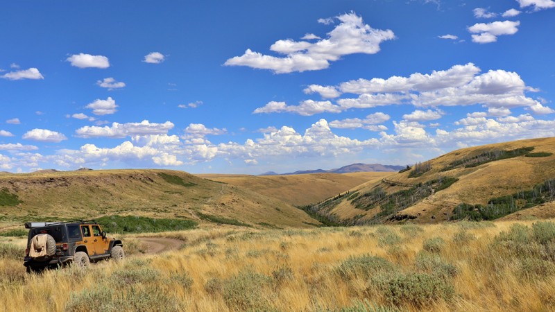
Updated: 10/15/2024
Pole Creek-Canyon Creek
Three Creek, Nevada
Pole Creek-Canyon Creek Road winds through the rugged beauty of the Humboldt-Toiyabe National Forest, tracing the edge of the remote Jarbidge Wilderness. This trail, a blend of gravel and dirt, presents an adventurous journey where the terrain varies from smooth stretches to rougher, more washed-out grades. As you navigate the road, you pass through vast, grassy high desert plains, only to suddenly find yourself descending into dramatic canyons that seem to appear out of nowhere.
Though there are no established campsites, the trail offers numerous spurs where you can pull off and set up camp, surrounded by the wild solitude of the landscape. The road’s isolation and its ever-changing scenery provide a sense of discovery at every turn.
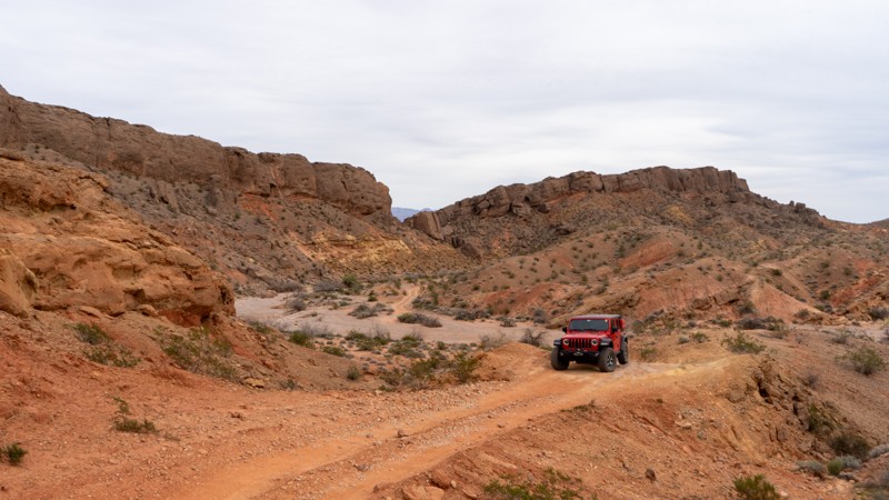
Updated: 10/15/2024
Overton Wash Escape
Moapa Valley, Nevada
Overton Wash Escape runs briefly in the western part of Overton Wash before exiting and climbing the hills north of the wash as the canyon narrows. The trail is typical sandy and rocky wash bottom until you reach the packed dirt portion that climbs, guiding you around the wash bottleneck and back down into town. This trail is heavily prone to washouts and rapid changes with passing storms. The dirt portion is narrow and can become impassable. Before exiting the wash, there is an old car that you cannot miss. Camping opportunities were not found on this trail, but there are many options in the nearby Logandale Trails network.
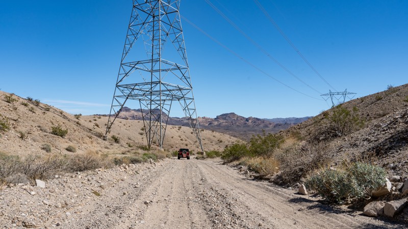
Updated: 10/15/2024
Powerline Wash Road
Nelson, Nevada
Powerline Wash Road is a short, dead-end spur road off Aztec Wash that travels a little over 1 mile down a washboard, rutty, and bumpy trail leading to a remote campsite along the Colorado River. Located near the town of Nelson and within the Lake Mead National Recreation Area, this trail is easy and can be navigated by any high-clearance vehicle. Wet conditions could necessitate the need for 4wd. The campsite at the end of the trail lies under the high-voltage powerlines, which might not make for the most restful night's sleep.
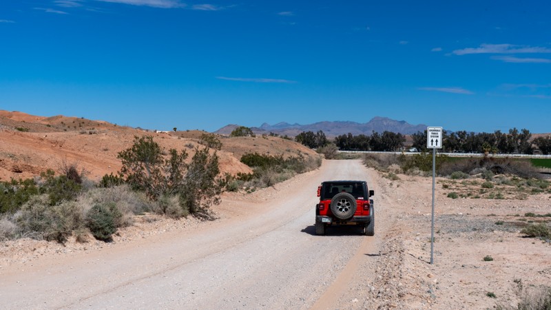
Updated: 10/15/2024
Railroad Frontage Road
Moapa Valley, Nevada
Railroad Frontage Road is the dirt bridge from Moapa Valley to the Logandale Trails network. If you don't want to jump on Moapa Valley Boulevard, this is the trail. This trail is also a neighborhood street passing by houses, so the speed limit is 25. Please be very respectful of the residents in the area, as this trail is often very dusty. 2WD is more than sufficient for this maintained dirt road. No camping is available due to it being within city limits.
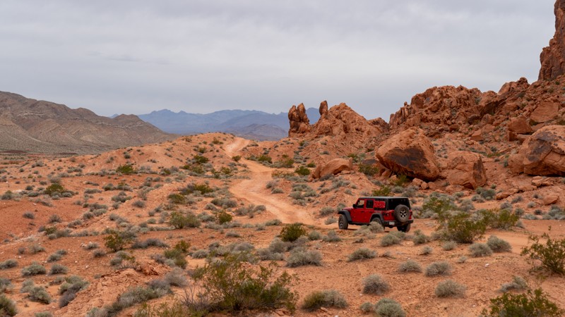
Updated: 10/15/2024
West Rim Alternate
Amber, Nevada
Another option along the west side of the rocks is West Rim Alternate. This is a slightly rockier version of West Rim but also provides access to Hidden Canyon. Due to a few rocky patches and a small V notch, 4WD is required. Although it may not be overly difficult or exciting, it is a great alternative to the Logandale Main Loop to get away from the crowds. Camping is not an option directly on this trail, but the nearby Logandale Main Loop has plenty of options.
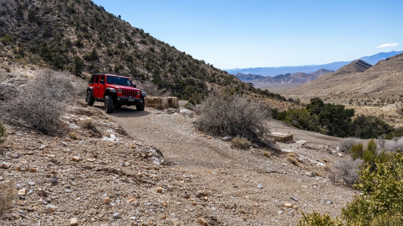
Updated: 11/14/2024
Potosi Spring Road
Mountain Springs, Nevada
Potosi Spring Road is a short, dead-end spur road leading to the site of the Potosi mine and mining camp, the oldest mine in southern Nevada. Originally located in 1856, when a Paiute Indian showed Mormon miners where they could find heavy rock, the mine had several rises and falls over the next 75 years as it pulled zinc and lead out of the ground. Today, the area has few remains, with mostly concrete foundations and a few collapsed mine shafts. The road up to the mining camp climbs sharply from Potosi Pass Road and is relatively rough and rocky, with grapefruit-sized rocks and several 6''-10'' ledges to contend with. The road is 1.5 vehicles wide and could present passing challenges if meeting oncoming traffic, but there are several wide spots and good line of site along the trail. Just before the building remains, you can find 2-3 small campsites along the ridgeline overlooking Sandy Valley. The road dead-ends at the camp, but to reach the mine site, you will need to hike 0.5 miles southeast along the top of the ridge.
This road is suitable for any high-clearance 4x4 and is not recommended for low-clearance AWD vehicles.
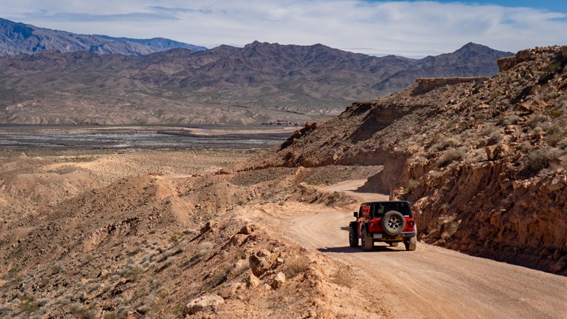
Updated: 10/15/2024
Mormon Mesa Road
Moapa Valley, Nevada
Mormon Mesa Road is a maintained road crossing its namesake mesa, just east of Moapa Valley. The trail rises from the valley quickly before leveling out and keeping relatively straight. Once you reach the gate on the east side, the trail will descend again into the Virgin River Valley below. No vehicles should have any issues with this trail. Many camping opportunities lie on top of the mesa but are not very friendly to ground tents due to the rocky nature.
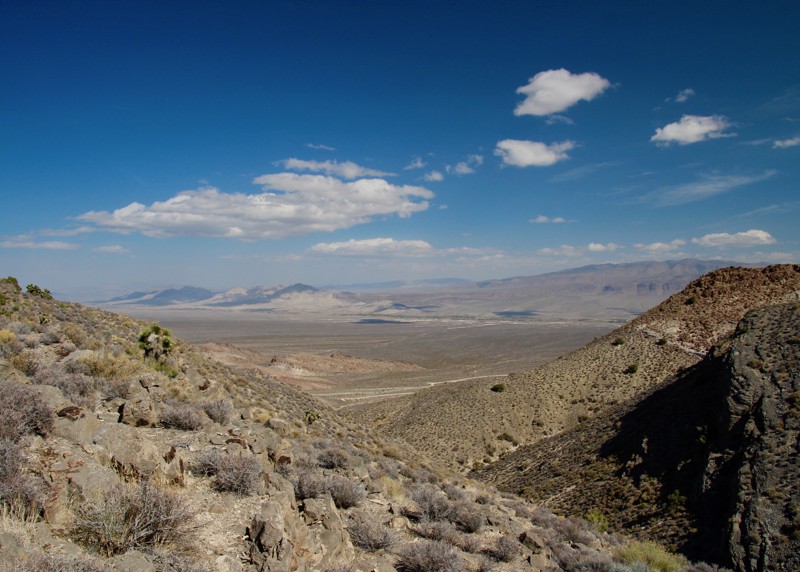
Updated: 04/18/2023
Old Radio Site Trail
Alamo, Nevada
The Old Radio Site Trail is a short 4WD spur off the Badger Valley Loop Trail. It ends at an abandoned RF radio site with some outstanding views of the Pahranagat Valley.
The purpose of the radio site is unknown. Maybe a monitoring station from the 1950's nuclear tests?
Keep an eye out for game as this region is known for its bighorn sheep population!
This short trail is worth a detour just for the amazing views you will be greeted with when you reach the second ridge.
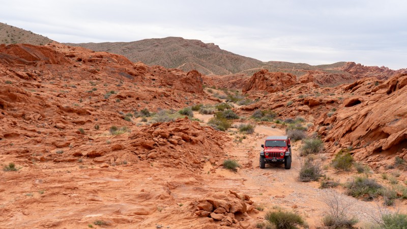
Updated: 10/15/2024
Logandale Loop to Rapotor Eater Hill
Amber, Nevada
This beginner-friendly trail is a great introduction to the Logandale Area's rocky trails. A few moderate rock obstacles appear as the trail winds through the red rock fins, requiring 4WD and high clearance. The track is an excellent trail to test both vehicles and new drivers before taking on the challenge of the harder trails nearby. Camping is not an option directly on this trail, but the nearby Logandale Main Loop has plenty of options.
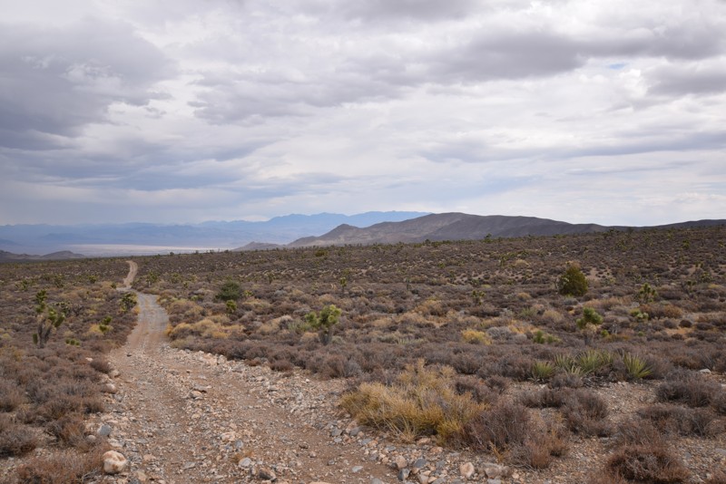
Updated: 03/15/2019
BM15 Road to Mud Springs Road Connector
Indian Springs, Nevada
BM15 Road to Mud Springs Road connector, located in the Spring Mountains National Recreation area is a short, fun drive due to the rolling of the trail and the surrounding scenic views. This connector allows you to save some time when exploring the trails in the area. The trail offers fantastic views of the surrounding mountains and the valley floor.
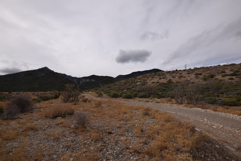
Updated: 01/18/2019
Trail 25808/25807
Indian Springs, Nevada
Trail 25808/25807 is a short trail that includes a campsite with great scenic views of the surrounding area, a rock studded hill and an otherwise relaxing ride through the Spring Mountains National Recreation Area.
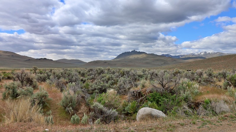
Updated: 10/15/2024
Pearl Camp
Dyke, Nevada
Pearl Camp is a well-maintained road that surrounds the southwest side of the Pine Forest Range Wilderness Area. It begins at Leonard Creek and ends at Summit Lake Road. It is also one of the main accesses to Knott Creek Reservoir and Onion Valley Reservoir. There are no discernable campsites along this trail.
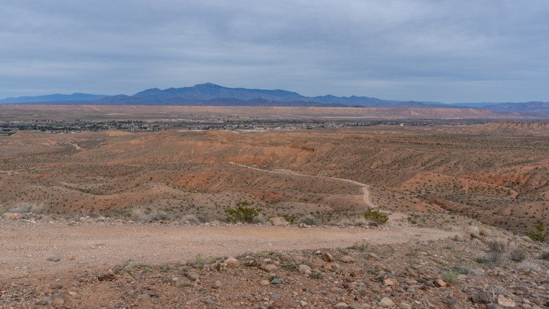
Updated: 10/15/2024
Wieber Wash East
Moapa Valley, Nevada
Wieber Wash East is a sandy and rocky trail that guides users from the small towns of Logandale and Overton uphill toward the Logandale Trails network. An overlook at its west end provides excellent views in all directions, including the Valley of Fire State Park. The rocky uphill climb at the trail's west end requires 4WD and possibly a spotter if you do not have much experience, as a heavy right foot on the loose rock could cause problems. Although camping was not observed directly along this trail, the nearby Logandale Trails network has plenty of options.
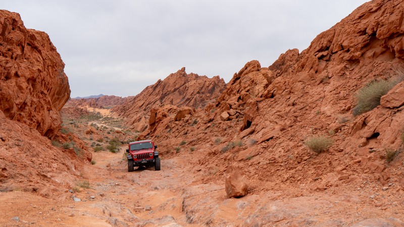
Updated: 10/15/2024
Warm Up Canyon
Amber, Nevada
Warm Up Canyon is an alternate way into the rocky portions of the Logandale Trails network. Although short, this rocky and tight canyon has a few different line options to get you through the one long obstacle. Be sure to get out and walk it if you are new to off-roading, as it can get rather tippy if you are not careful. Camping is available on the south end, where it meets up with Logandale Main Loop.
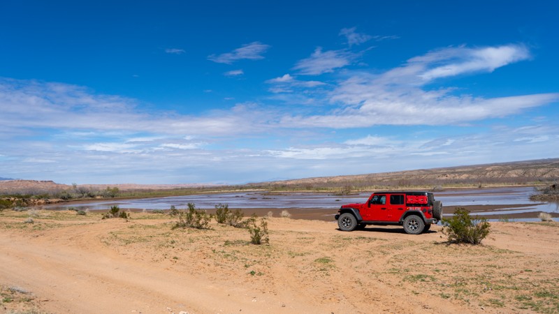
Updated: 10/15/2024
Virgin River Trail
Moapa Valley, Nevada
Spanning 8 miles in the Virgin Valley, the Virgin River Trail is an excellent addition to an overland journey across southern Nevada. Crossing through the Moapa Wildlife Management Area offers opportunities to see plenty of birds and animals that call the Virgin Valley home. Roadrunners often scurry across the trail, but good luck keeping up with them! This trail is relatively easy for any high clearance 4WD vehicle, but it is highly prone to flash flood damage and a swelling river, so always check local conditions before attempting. No campsites are along this trail, as much is within the wildlife management area. Camping options lie along Mormon Mesa Rim, Mormon Mesa Road, and Mormon Mesa.
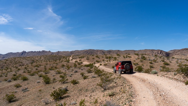
Updated: 10/15/2024
Logandale Alternate Access
Amber, Nevada
Acting as an alternate entrance, this trail is packed dirt and loose rock with a few inclines and declines. Due to the angle of the hills and the loose rocks, 4WD is advisable. However, there are no obstacles that require any attention. Valley of Fire State Park does not allow camping along this trail.
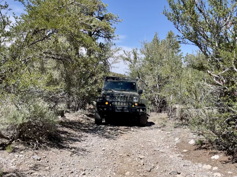
Updated: 10/15/2024
Mack's Canyon Spur
Lee Canyon Summer Home Area, Nevada
Mack's Canyon Spur is a .42 mile moderate out and back trail at 7,757' elevation with 2 or 3 smaller dispersed campsites. The trail begins with a narrow, rocky tree and brush tunnel that may not be suitable for large vehicles unless you don't mind pinstriping. The trail washes out enough to provide a small off-camber obstacle less than a quarter-mile into the drive before returning into another narrow brush tunnel with low-hanging branches. At the
.4 mile mark lies the most challenging part of this trail. You have to choose between two narrow gaps between trees. The left line is a short, steep hill with loose dirt. The right line is a slightly wider path between the trees but with loose dirt and moguls. There is a small campsite at the top of this hill. It is also a good place to plan to turn around. There are very few places to do so on this trail, especially for large vehicles. Be aware of heavy rains as this is a slot canyon.
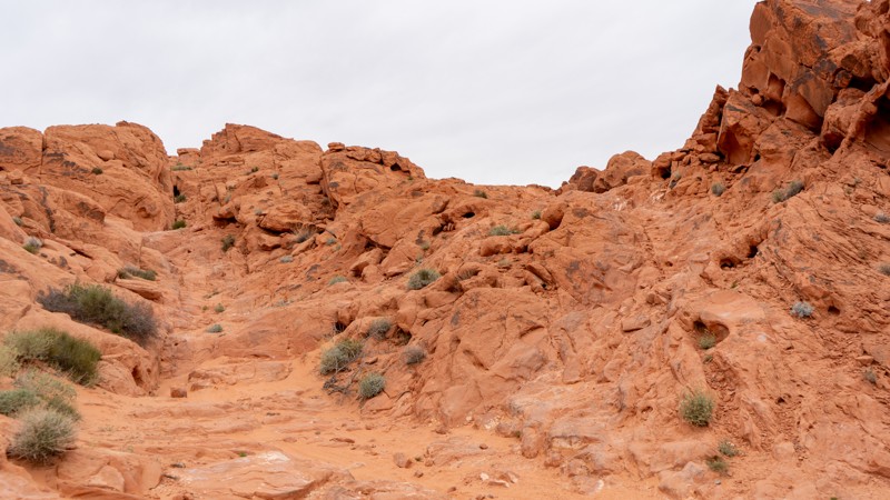
Updated: 04/22/2026
Lower Bronco Falls
Amber, Nevada
Lower Bronco Falls is the southern and slightly easier trail before conquering Bronco Falls. Although still difficult, this trail offers numerous rock obstacles, including a chunky hill to climb. Lightly modified rigs will have a fun time exploring these obstacles with multiple optional lines to choose from. Camping is not an option directly on this trail, but the nearby Logandale Main Loop has plenty of options.
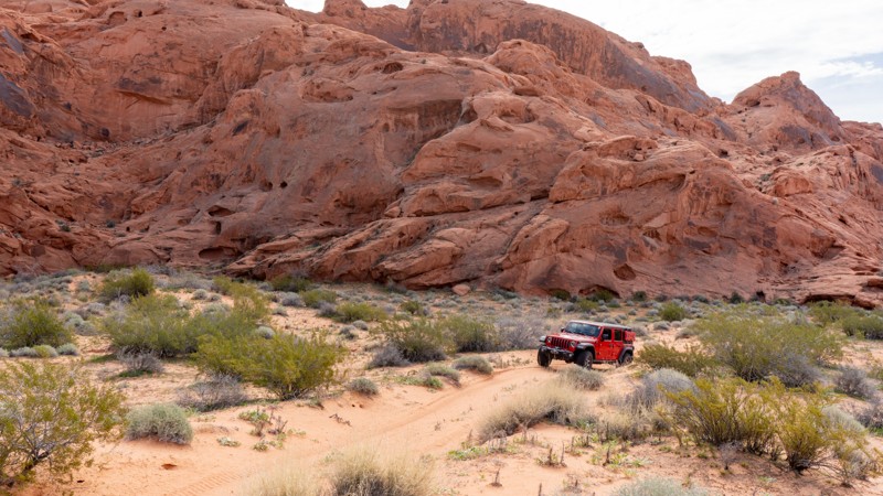
Updated: 10/15/2024
Trail Q
Moapa Valley, Nevada
Trail Q runs parallel to Logandale Main Loop and provides one fun and challenging obstacle at the end. Although most of the trail is sandy, the obstacle is a waterfall over protruding rock. High clearance is mandatory, and a small lift helps protect your underside. Running the trail north to south makes this obstacle uphill and much more challenging due to the light dusting of sand on its surface. Camping is also an option along this spur, although it is right off the trail, so traffic may be a problem on a busy weekend.
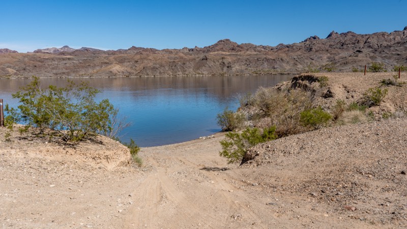
Updated: 10/15/2024
Fire Mountain Point Road
Nelson, Nevada
Fire Mountain Point is a short dead-end spur off Fire Mountain Cove that leads to campsites directly on the banks of the Colorado River. Because you drive Fire Mountain Cove to access this spur, the experience and views remain the same, with nonstop scenic views of Fire Mountain. This spur has three campsites: one 200 yards from the river along the road, one riverside just above the banks, and one beachside campsite. The campsites are suitable for vehicle camping, ground tents, and small offroad trailers. There are no amenities for these campsites, and users must pack out everything they pack in, including human waste. The moderate rating comes from a rutty descent that will articulate your suspension as it drops between the first and second campsites. This rutty hill will be extremely problematic in 2WD and 4WD will be necessary to keep from digging the hole deeper. Any 4WD or AWD with good ground clearance will be acceptable on this trail.
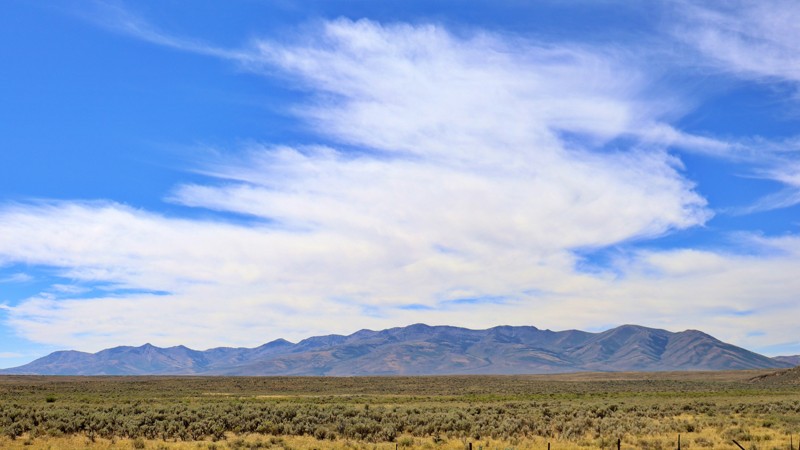
Updated: 08/11/2025
North Fork
Charleston, Nevada
North Fork Road is a scenic connector that weaves its way through the heart of the Great Basin, linking Highway 225 near Wild Horse Reservoir to Charleston-Jarbidge Road. This well-maintained gravel road offers a smooth journey through a landscape dotted with sprawling ranches, where the region's rugged charm is on full display. As you travel, the Bone Mountains rise majestically to the south, their peaks strikingly contrasting the open, rolling terrain.
Though the road is surrounded by private property, limiting camping opportunities, the drive itself is a rewarding experience. North Fork Road provides a peaceful, picturesque route through the basin, where the land's vastness and the countryside's serenity create a memorable journey.
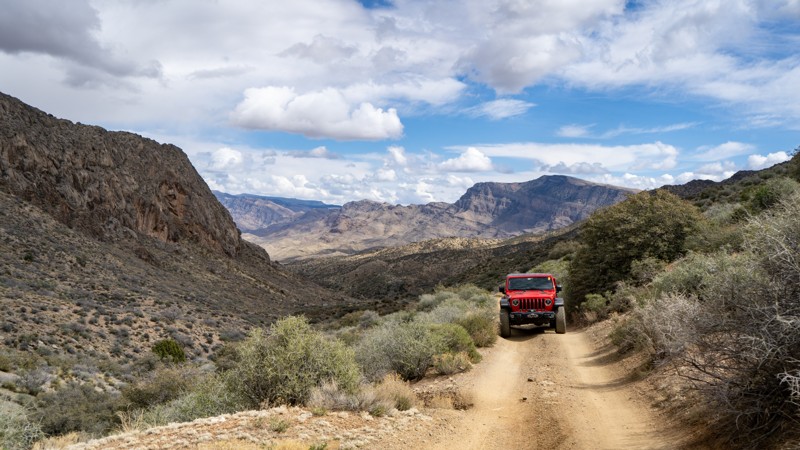
Updated: 10/15/2024
Hen Spring
Bunkerville, Nevada
Nestled between the Virgin Peak Ridge and Bunkerville Ridge, Hen Spring is a moderate trail spanning 4.3 miles through Gold Butte National Monument. This trail is mostly packed dirt with a few small rocky sections. Due to the nature of the foothills, there are washouts and off-camber spots. If you are in a full-width truck or SUV, be cautious around these areas, as the dirt is loose on the shoulder. There are no campsites on this trail, but nearby Cabin Canyon has plenty of options.
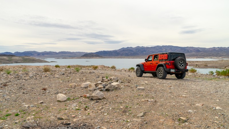
Updated: 10/15/2024
Boxcar Rock
CALLVILLE BAY, Nevada
Boxcar Rock is a spur off of Boxcar Cove that climbs to a higher viewpoint versus the cove road that drops directly down to the waterline. Even though this trail puts you high above the shore, shells of small freshwater clams litter the ground as evidence of how Lake Mead has shifted over the decades. Stone fire rings show the area's frequent use by dispersed campers; you'll find these along many of the access roads. The hardest part of Boxcar Rock is a soft sand climb that may require 4WD if ruts form or natural erosion wears at the trail. The view of Lake Mead from the rock cliffs at the end of Boxcar Rock is spectacular, and with a little exploring, there are great swimming spots to be found.
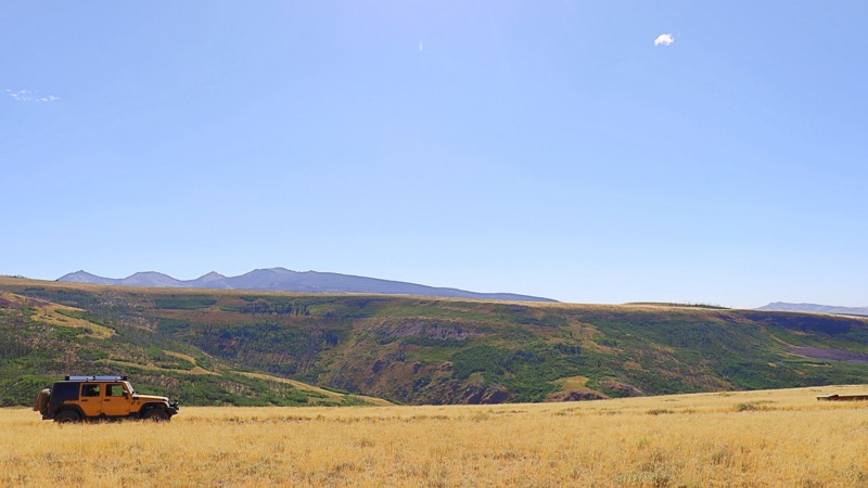
Updated: 10/15/2024
Cougar Point
Murphy Hot Springs, Nevada
Cougar Point, located within the Humboldt-Toiyabe National Forest, offers a remote and rugged experience. The trail leading to Cougar Point is unmaintained, with sections made challenging by washouts and large rocks scattered across the path. Despite the rough terrain, the trail rewards you with wide-open high desert plateaus, offering expansive views of mountain ranges to the west.
While there are no discernible camping spots along the trail, the landscape's vastness and solitude make it a unique journey. Travelers should be prepared to open and close several gates along the way, a reminder of the trail's remote and untamed nature. Cougar Point is for those seeking the solitude of the high desert and the adventure of navigating one of the forest's more challenging routes.
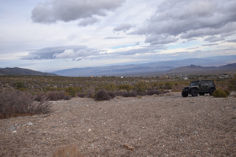
Updated: 01/17/2019
Horsetail Road to Larkspur Road
Indian Springs, Nevada
Horsetail Road to Larkspur Road, located in the Spring Mountains National Recreation Area outside of Cold Creek, is a short fun scenic drive with areas for camping. A perfect trail for beginners to offroading or for a 2 WD high clearance vehicle.
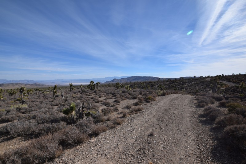
Updated: 03/15/2019
Lambsquarters Road Loop
Indian Springs, Nevada
Lambsquarters Road Loop is an off-road trail, located in the Spring Mountain National Recreation Area, connected to Mud Springs Road. This is a fun, short drive due to the twisting, turning and rolling of the trail in addition to the spectacular views of the surrounding mountains and valleys.
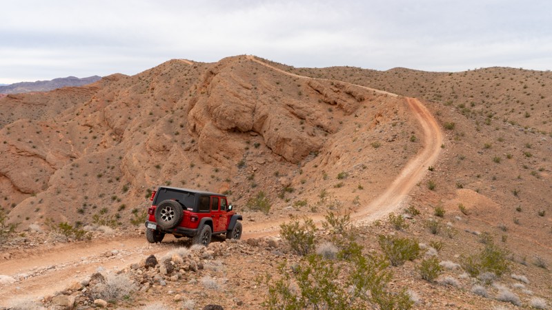
Updated: 10/15/2024
Overton Ridge
Moapa Valley, Nevada
Venturing farther from Overton Wash, Overton Ridge bridges the gap into the Logandale Trails network while providing great views over the town to the east and the web of trails to the west. Constantly climbing and descending small but steep hills, this trail is not 2WD friendly. The loose and sharp rocks will be a challenge for anything other than 4WD and all-terrain tires at a minimum. Camping was not found along this trail, as there was very little flat or soft ground.
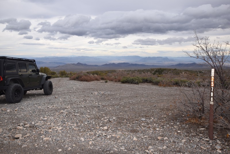
Updated: 01/18/2019
Trail 25796
Indian Springs, Nevada
Trail 25796, located just outside of Cold Creek in the Spring Mountains National Recreation Area off of Camp Bonanza Road is a very short and easy trail with a fairly large campsite at the end with a large water collector. This is a great site for a base camp while exploring the surrounding networks of trails.
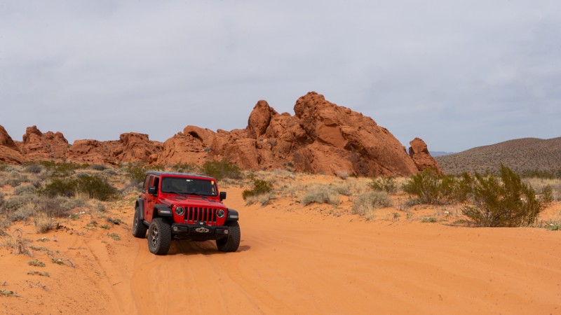
Updated: 10/15/2024
Wieber Wash to Overton Wash
Moapa Valley, Nevada
This valley trail is a fun sandy option to bypass the more heavily used Logandale Main Loop. Although not technical, the deep sand and small rock obstacle on the south end make 4WD advisable. This is a great beginner trail before you head to the more challenging obstacles and deeper sand this area offers. Camping was not found directly on this trail, but many nearby trails have dispersed sites to choose from.
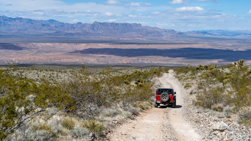
Updated: 10/15/2024
Nickel Creek
Bunkerville, Nevada
Nickel Creek is a popular trail guiding users from a large staging area to Bunkerville Ridge and other nearby trails. This easy trail climbs consistently in elevation. The trail is packed dirt and loose rocks, but no major obstacles exist. This is just one of the many ways to reach this area. Nearby Bunkerville Ridge or Cabin Canyon has campsites.
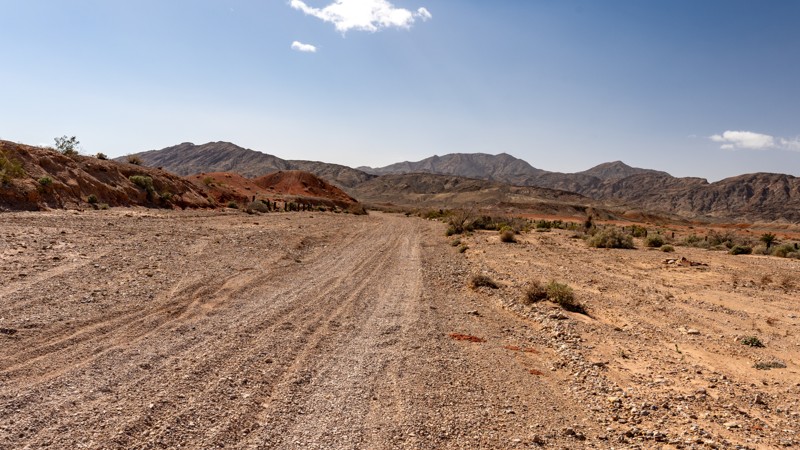
Updated: 10/15/2024
Middle Wash Road
Sunrise Manor, Nevada
Middle Wash is an easy and short, straight-through connector between Kodachrome and Rainbow Gardens, located only minutes outside of Las Vegas and within the Sunrise Mountain Special Recreational Management Area. The entire trail travels along a desert wash lined with large golfball-sized gravel. You can anticipate washboard sections, but this trail is easily traveled in 2WD by any high clearance vehicle. Although the trail offers sporadic views of the Frenchman Range and Lave Butte, this is not considered a scenic trail. No camping is allowed within the management area, and although you can find open camping areas to the south along South Hollywood Blvd, that location is often teeming with squatters.
Updated: 10/15/2024
Bunkerville Ridge Access #3
Bunkerville, Nevada
This easy but bumpy trail is another option to access Bunkerville Ridge. This packed dirt track has rocks scattered randomly, so airing down is highly recommended for a smoother ride. If you are looking for camping opportunities, check out Bunkerville Ridge or Cabin Canyon for great dispersed options.
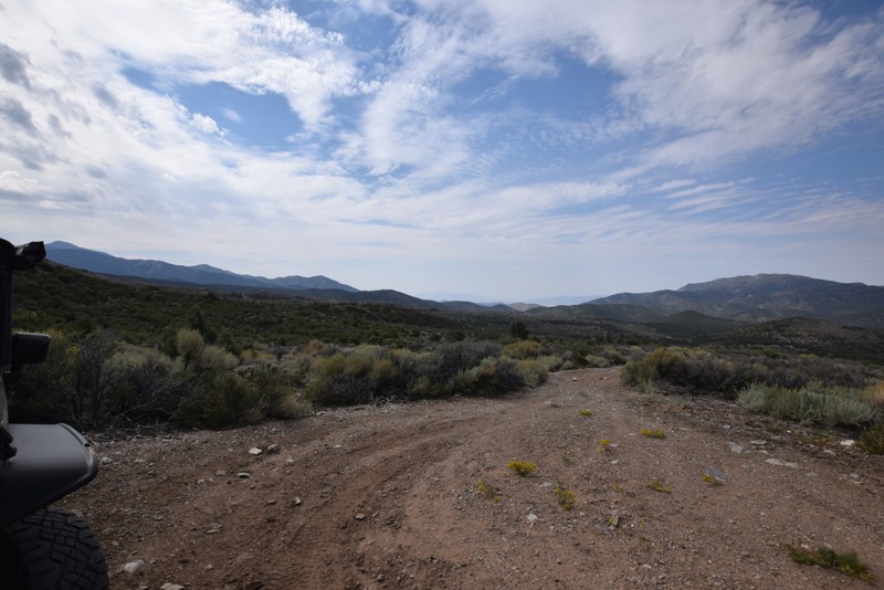
Updated: 04/03/2019
Willow Peak Spur Road
Indian Springs, Nevada
Willow Peak Spur Road is a short branch offroad trail near Wheeler Pass Road, just north of Las Vegas in the Spring Mountain National Recreation Area. This trail has pine trees, cooler temperatures and an endpoint with an open campsite with great views of the surrounding hills.
Updated: 10/15/2024
Biroth Ridge
Jack Creek Camp, Nevada
Biroth Ridge, nestled within the Humboldt-Toiyabe National Forest just beyond the boundaries of the Jarbidge Wilderness, offers a rugged escape into the wild. The trail, a mix of gravel and dirt, winds along the ridge, where the terrain can be challenging, with rough patches and sections washed out by the elements, adding an edge of adventure to your journey.
As you make your way along Biroth Ridge, you'll find Slide Creek Campground, a hidden gem just off the trail. This serene spot provides a place to rest and facilities for those traveling with horses. The campground features spacious sites equipped with picnic tables, fire rings, and a pit toilet, making it a convenient base for further exploration. Surrounded by the forest's natural beauty, Slide Creek offers a peaceful retreat where you can relax by the fire and enjoy the tranquility of this remote wilderness.
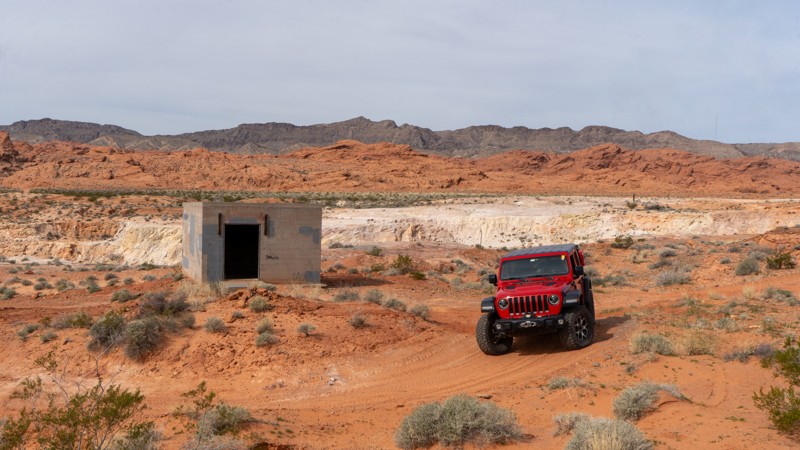
Updated: 10/15/2024
Mine Spur
Moapa Valley, Nevada
Jogging up a small unnamed wash, this trail leads to a small mine. Although there is nothing significant at the mine, shy of a small crater and a single building, users will enjoy the moderate tour through the rocky wash. Running this trail in the springtime provides the opportunity to see abundant desert wildflowers in bloom. Although no camping was observed directly on this trail, the nearby Logandale Trails network has plenty to choose from.
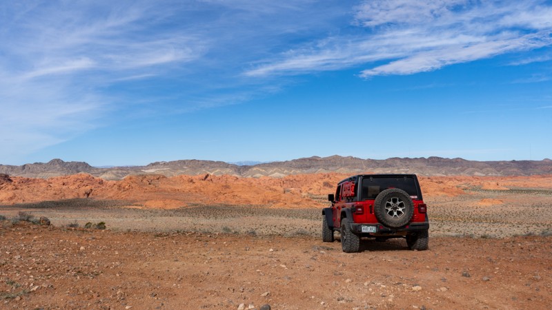
Updated: 02/22/2026
Overton Ridge to Wieber Wash
Moapa Valley, Nevada
Quick and relatively easy, this packed dirt and loose rock trail guides users from the Logandale Main Loop up and over Overton Ridge and back down to Wieber Wash, providing a great viewpoint of the valley below. 4WD may be necessary as the western side of this trail can be rather steep and loose. This trail crosses smaller wash channels, so it is prone to washouts. Camping was not found directly on this trail, but the nearby Logandale Trails network has plenty of options for dispersed camping.
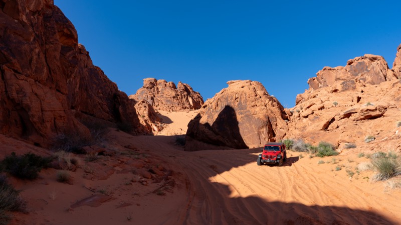
Updated: 10/15/2024
Camp and Dune Spur
Moapa Valley, Nevada
Hidden away in the rocks of the Logandale Trails, this neat little spur trail takes you back to a bit of fun and relaxation. Apart from the first rock obstacle, this trail is smooth and sandy. 4WD may be necessary to get back to the camping. If you plan on driving up the steep and skinny dune, 4WD is required. The western side of the trail has isolated camping areas away from the crowds. If you are not camping, the dune is worth the short journey back here, as it seems somewhat out of place.
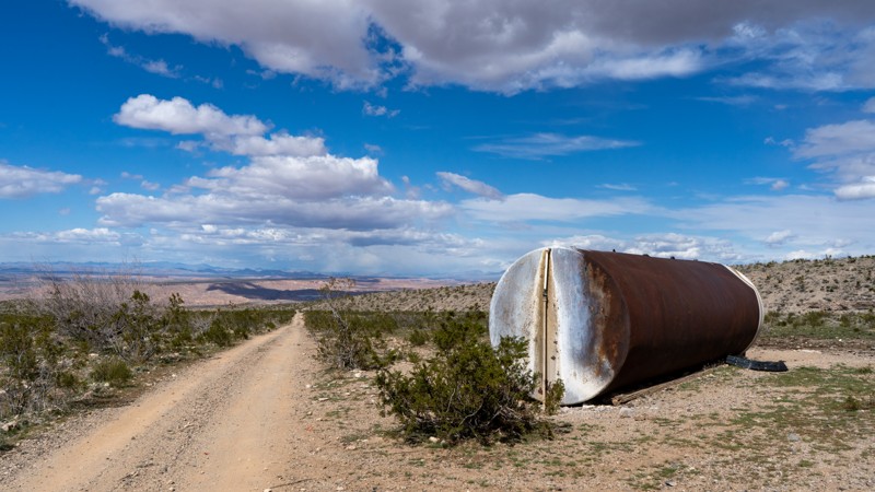
Updated: 10/15/2024
Bunkerville Ridge Access #2
Bunkerville, Nevada
An easy option to reach Bunkerville Ridge, this trail is a bit bumpier than the others. 4WD is not normally required, but as with other trails that cross washes, any given storm may create washouts. The packed dirt is littered with loose rocks, so airing down is highly recommended for comfort. The one advantage that this trail has over the others is that camping is offered near its northern end.
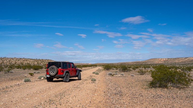
Updated: 10/15/2024
Halfway Wash
Moapa Valley, Nevada
Traveling north off Mormon Mesa, Halfway Wash is a neat sandy trail taking users around a small bluff and up its namesake wash. Due to its location and off-the-beaten-path nature, this trail is lightly used, to say the least. If you want more adventure in your overland journey across southern Nevada, consider this 4-mile detour for a different taste of trail conditions. Since it is a wash bottom, most of the trail is loose dirt and gravel, with small sections of packed dirt when you exit the wash. Nothing is difficult, but multiple areas are prone to washouts, so pay attention to the trail in front of you. There are no campsites along this trail. Many camping options lie along Mormon Mesa or Mormon Mesa Rim.
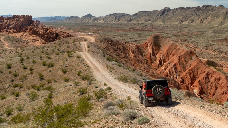
Updated: 10/15/2024
Access Loop
Amber, Nevada
Access Loop does just as it suggests, providing access to several routes through the rocks right from the staging area for the Logandale Trails network. This short loop joins with many more challenging trails, like Shredder Trail, Bronco Falls, and Raptor Eater Hill. Portions of this trail enter the rocks, so 4WD and high clearance are required. Be sure to hang out here on a busy weekend and watch everyone playing in the rocks. There are no campsites on this trail, but many people camp at the staging area near the bathrooms and picnic tables.
Updated: 10/15/2024
Mine to Main Loop
Moapa Valley, Nevada
Mine to Main Loop is a rocky and sandy trail in the foothills of the Logandale Trails network. This short but sweet jumper takes users from the Mine Spur to the Logandale Main Loop. Small rock obstacles line portions of the trail. Neat views of the valley to the west provide the opportunity to see many other trails among the rolling hills. If you are working your way over from town, this is a good transition to get a feel of the Logandale Trails network's terrain. No camping was observed along this route, although many options are on nearby Logandale Main Loop.
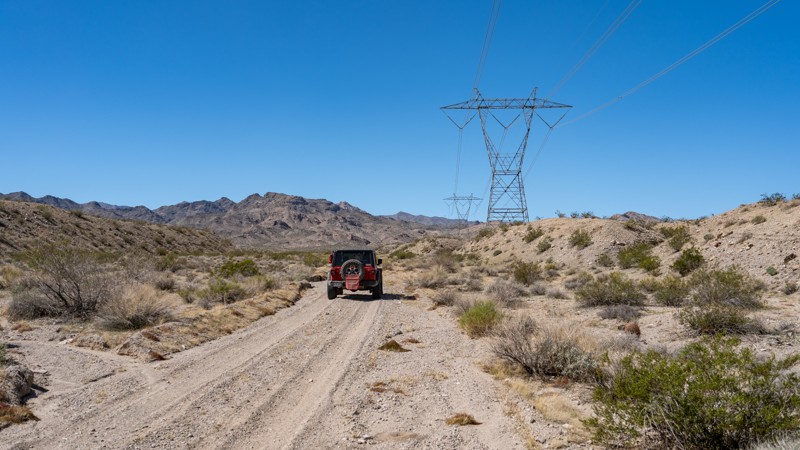
Updated: 10/15/2024
Loop Powerline Road
Nelson, Nevada
Located near Nelson, within the Lake Mead National Recreation Area, Loop Powerline Road is an easy, course sand two-track trail that drives from one point of Aztec Wash, past the West Powerline Wash Road and reconnects to Aztec Wash a short distance later. This trail offers no suitable camping and following along the high voltage powerlines the entire way. No obstacles exist along the trail, and other than a few soft pockets of gravel, this trail can easily be navigated by any high clearance vehicle.
Updated: 10/15/2024
Halfway Wash Escape
Bunkerville, Nevada
Halfway Wash Escape is a quick and easy way to return to Interstate 15 from Mormon Mesa. It is a maintained packed dirt trail with no obstacles. The only slowdown is when you cross Halfway Wash itself, making it suitable for just about any vehicle with high clearance. There are no campsites along this trail, but there are dispersed camping opportunities along Mormon Mesa.
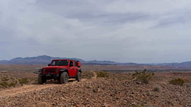
Updated: 10/15/2024
Wieber Wash to Unnamed Wash
Moapa Valley, Nevada
Acting as an access point, this trail links the Moapa Valley to Virgin Wash and into the Logandale Trails network. It is a typical rocky and sandy wash bottom for the eastern portion before transitioning to packed dirt and loose rock typical of the area. The trail is relatively uneventful; however, due to the sandy nature, 4WD may be necessary. There are no campsites on this trail.
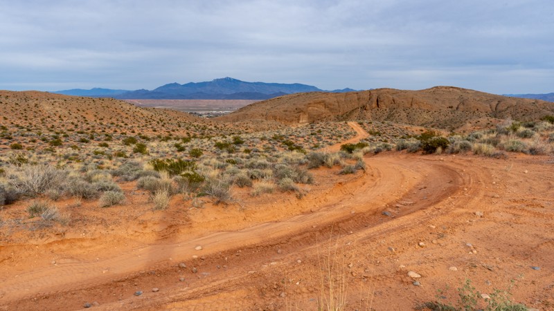
Updated: 10/15/2024
Wieber Wash Escape
Moapa Valley, Nevada
This fun escape begins in the wash before quickly rising up and over a sandy hill. Although it is not as steep as other nearby trails, 4WD is necessary due to the deep, soft sand. Desert flora lines this trail and really puts on a show in the springtime before the temperatures get too hot. No camping was observed along this route.
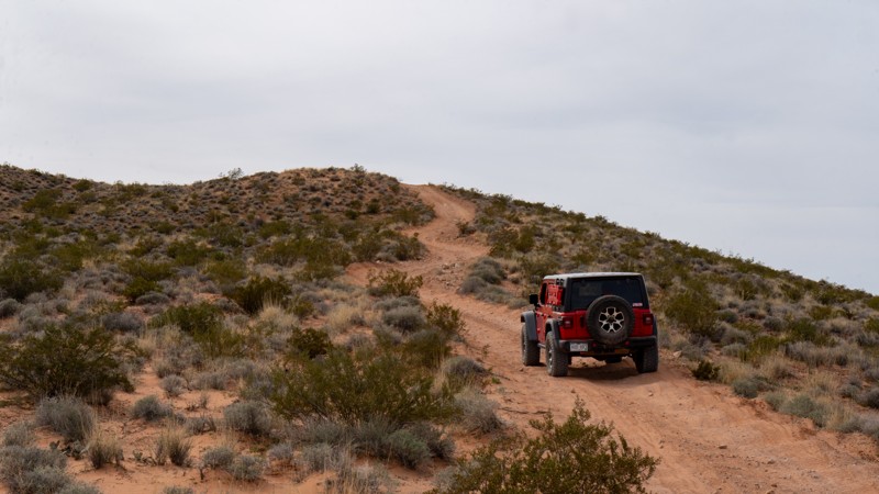
Updated: 10/15/2024
Wieber Wash North Cutoff
Moapa Valley, Nevada
Acting as a jumper, this 1.3-mile-long trail runs north to south along the valley's edge, giving you decent views across the Logandale Trails network. The trail is mostly packed dirt with loose rocks, making 4WD necessary to climb the hill on the south end. Traveling the trail from north to south allows you to descend the hill. Although no camping was observed along this trail, the nearby Logandale Trails network has plenty of options.
Updated: 10/15/2024
Jim-Bob
Jack Creek Camp, Nevada
The Jim-Bob Trail in the Humboldt-Toiyabe National Forest serves as a rugged connector between Biroth Ridge and Cougar Point. This unmaintained trail is notably rough, with washouts and large rocks scattered along the path, making it a challenging route for travelers. The trail’s lack of discernible camping spots adds to its remote and untamed character, offering a raw, unfiltered experience of the high desert.
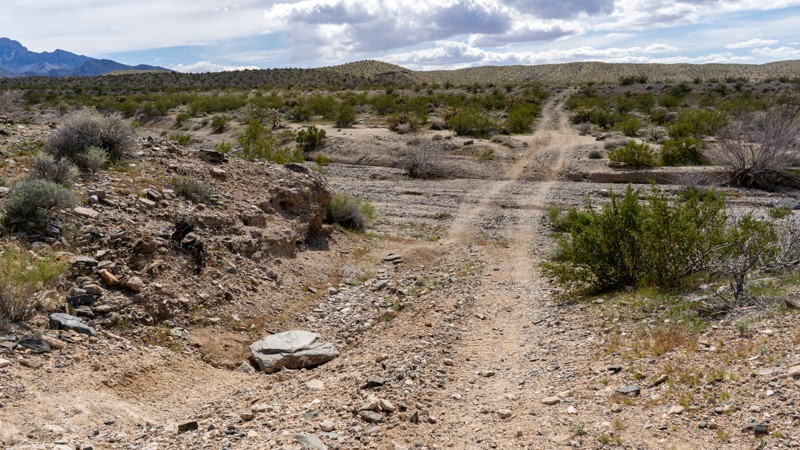
Updated: 10/15/2024
Bunkerville Ridge Access Jumper
Bunkerville, Nevada
Jumping between Bunkerville Ridge Access #2 and #3, this trail adds a bit of fun among the easier dirt roads surrounding it. Since it traverses the face of a hill, many small wash crossings change with every storm. This trail is lightly used compared to others, so the path occasionally blends into its surroundings, making you feel like you are bushwhacking through cholla and barrel cacti. If camping is what you are after, this trail has limited options. For more choices, check out Bunkerville Ridge or Cabin Canyon, which have great dispersed campsites.
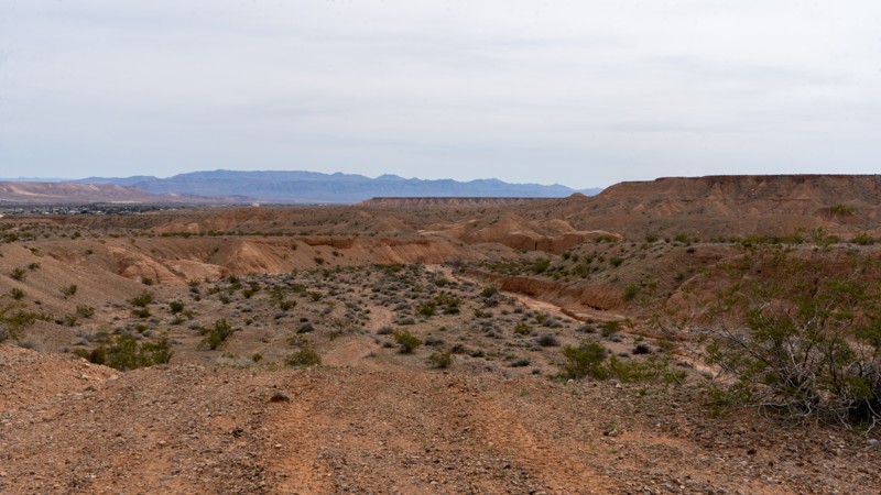
Updated: 10/15/2024
Wieber Wash Jumper
Moapa Valley, Nevada
Wieber Wash Jumper is an alternate way north out of Wieber Wash. It winds its way up a smaller and more narrow wash until it rises up and joins a more prominent trail, Wieber Wash to Unnamed Wash. Although it is no harder than surrounding trails, washout can happen quickly and cause the wash exit to increase in size quickly. The majority of this trail is in a sandy and rocky wash bottom, so it is anything but smooth. No camping was observed along this short route.
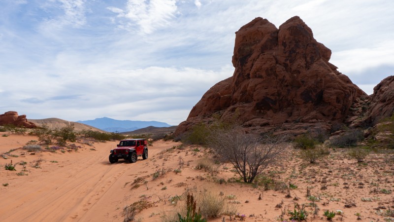
Updated: 10/15/2024
Wieber Wash West
Moapa Valley, Nevada
Wieber Wash West is a fun, sandy trail serving as an alternate way around a group of rocks along Logandale Main Loop. Although not a destination trail, it is a good addition to an itinerary where you can pick up speed and bank around the curves. 4WD will likely be necessary due to the soft and deep sand. One small campsite sits on the western end in the northern shadow of the rocks.
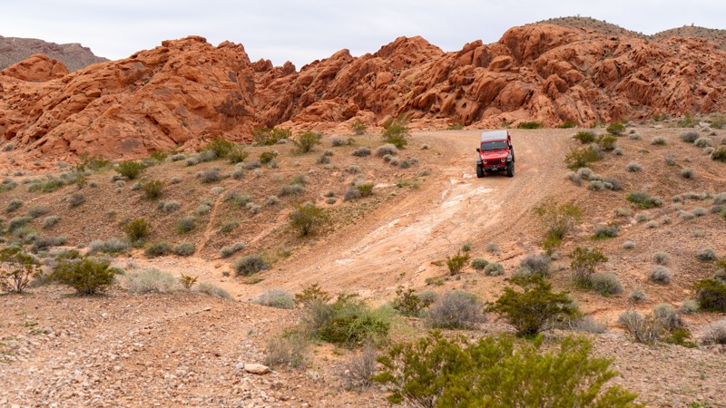
Updated: 10/15/2024
Access Loop Cutoff
Amber, Nevada
Access Loop Cutoff acts as a quick and easy exit from the rockier trails or the easier way out if you jogged down the Access Loop and don't want to tackle the small rock obstacles near its eastern end. There is one small rocky patch, but this trail poses no problems for high clearance vehicles. Camping is not an option directly on this trail, but the nearby Logandale Main Loop has plenty of options.
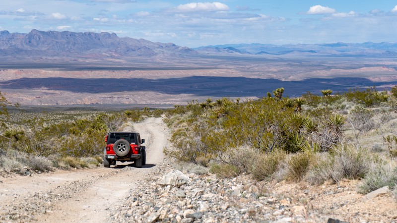
Updated: 10/15/2024
Bunkerville Ridge Access #1
Bunkerville, Nevada
Bunkerville Ridge Access #1 is just one of the many trails leading from Riverside Road to Bunkerville Ridge. This trail, in particular, is a relatively easy but bumpy trail that crosses one of the washes coming from the ridge. Occasional storms may wash out these parts of the trail. But they are heavily used and quickly retreat to their easy status. Camping is available along nearby Bunkerville Ridge or Cabin Canyon.
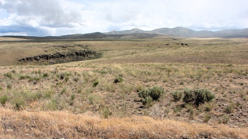
Updated: 05/20/2026
Jackpot Little Goose Road
Delaplain, Nevada
Jackpot Little Goose Road is a well-maintained one to two-lane gravel road running from Goose Creek Road to Highway 93 just south of Jackpot, Nevada. It is an easy drive with no significant hazards other than dust, and is suitable for any vehicle with moderate ground clearance. There is one water crossing at Indian Mike Creek that is about 10 inches deep and has a firm gravel bottom. The road traverses high desert country for its entire length, offering nearly continuous, expansive views of the rolling desert and surrounding mountains. The contrasting colors of the sagebrush, rabbitbrush, bitterbrush, the occasional juniper tree, and the dry grass patches are a delightful feast for the eyes.
Dispersed camping is permitted on public lands along the route, and numerous large, open areas adjacent to the road provide suitable locations for setting up a camp. Only one such area had an existing fire ring, which is not a bad thing since, unless there is snow on the ground, fires in the high desert are generally not a good idea.
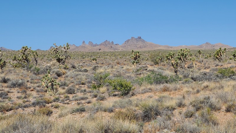
Updated: 06/10/2026
Railroad Grade & Castle Mountain Mine Roads
Searchlight, Nevada
This road travels through the Avi Kwa Ame and Castle Mountains National Monument areas. Visitors will enjoy the serenity and solitude provided by Joshua tree forests and unbroken natural landscapes. The dramatic Castle Peaks, seen west of the road, are a cluster of rock spires that resemble the ramparts of an ancient fortress. The road intersects many motorized and hiking trails that invite exploration.
A two-wheel-drive vehicle with high clearance to handle the uneven, rocky sections can manage this trail, but exploring the connecting trails will require a 4x4.
Dispersed camping near the road can be found primarily in the Avi Kwa Ame National Monument portion of the trail or the easternmost 11 miles of the road. Campers must follow Leave No Trace principles and use previously disturbed or established primitive sites. An existing campsite can be found 3 miles from the eastern end of the road, next to an old corral.
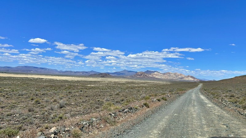
Updated: 07/02/2026
Soldier Meadows
Gerlach, Nevada
Soldier Meadows Road is the primary route into the remote northern Black Rock Desert, running parallel to the Black Rock Playa, crossing vast sagebrush flats, volcanic hills, and wide-open desert valleys. The road provides access to many of the region's most popular destinations, including High Rock Canyon, Soldier Meadows Hot Springs, and numerous dispersed campsites. Along the way, travelers are rewarded with expansive views, opportunities to spot wildlife, and a true sense of Great Basin solitude. While generally easy in dry conditions, washboards, potholes, and seasonal washouts will slow travel. More than just a road, Soldier Meadows Road serves as the gateway to some of Nevada's most scenic and historic backcountry adventures.
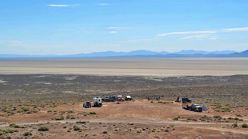
Updated: 07/02/2026
Cassidy Mine
Gerlach, Nevada
The Cassidy Mine Trail provides scenic access to the Black Rock Playa from Soldier Meadows and features some of the best elevated views in the southern Black Rock Desert. The short route descends roughly 200 feet, revealing sweeping panoramas of the playa, the Calico Hills, and the surrounding mountain ranges. Several spacious campsites overlook the desert below, offering incredible sunrises and sunsets and relief from the dust often found on the open playa. Large group campsites make excellent base camps for exploring the Black Rock and High Rock Canyon regions. Historic remnants of the Cassidy Mine and the old Trego Mining District can still be found scattered throughout the surrounding hills. While the trail presents no significant obstacles, seasonal weather and runoff can create washouts and rough sections on this unmaintained road.
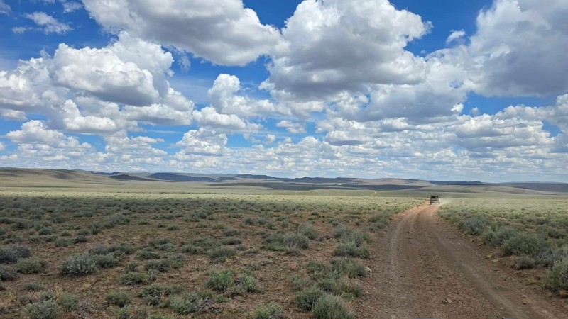
Updated: 07/02/2026
High Rock Canyon Road
Swedes Place, Nevada
High Rock Canyon Road is a scenic backcountry route serving as the primary northern gateway to High Rock Canyon, connecting Washoe County 34 to Stevens Camp Road . The road meanders through the vast solitude of Nevada's Great Basin, crossing expansive sagebrush plains, rolling volcanic hills, and broad desert valleys framed by sweeping views of the Granite Range and Calico Mountains. While the drive is not technically demanding, frequent washboards, rocky stretches, erosion channels, and occasional wash crossings add just enough challenge to keep drivers engaged, making a high-clearance vehicle the ideal choice. Unlike many backcountry routes, the road has no established or notable campsites, making Stevens Camp the first practical camping opportunity at the trail's end. The route culminates at Stevens Camp, where the historic High Rock Canyon Trail begins, marking the transition from an open desert drive to one of Nevada's most spectacular overland adventures.

Upgrade your Membership
Unlock all of the details on every Trail Guide and Scout Route.
Start a 7-day Free TrialCommunity
Partners