A Long Day of Iconic 4WD Trails in the Mount Hood National Forest
Overlanding in the Footsteps of the Pioneers on the Oregon Trail Just Outside Portland
Hitch the oxen, load the kids into the covered wagon, and point your 4×4 east out of Portland toward Mount Hood for a long day full of adventures on parts of the original Oregon Trail. Driving in the ruts of wagon trains, on high mountain passes with sweeping panoramas of Mount Hood, and through choking clouds of dust harken back to the heady frontier days when Portland was Stump Town and the Willamette Valley was the promised land for so many. This offroad route is sure to become a family favorite that you will want to run year after year.
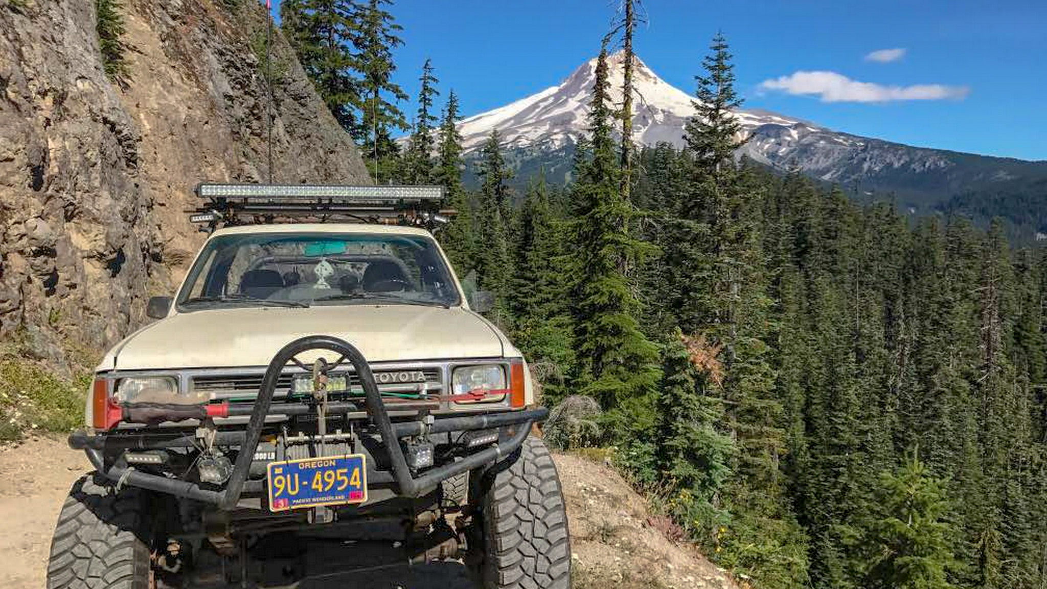
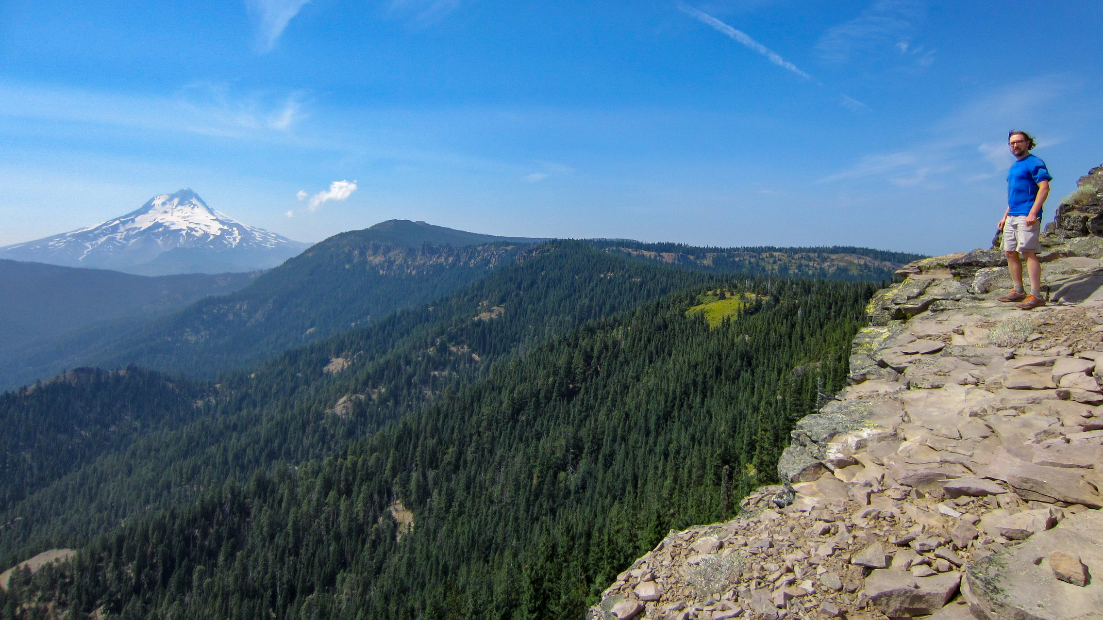
Trail 1 – Bennett Pass: The high route east with huge views of Mount Hood
Time required: 2 hours
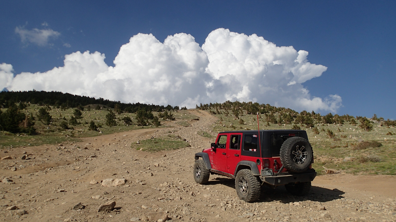
Bennett Pass is one of the most iconic overlanding trails in Oregon with big panoramic views of Mount Hood. Winding along narrow shelf roads, through alpine forests, and past some of the prettiest views in northern Oregon, Bennett Pass Road is a jewel of the Mount Hood National Forest. The amazing views of Mount Hood will be treasured memories for years to come. In the mid-to-late summer, wildflowers bloom along the many hidden hanging meadows and high prairies. Droves of butterflies can swarm around your vehicle on sunny summer afternoons making you think you’re in a fairy tale.
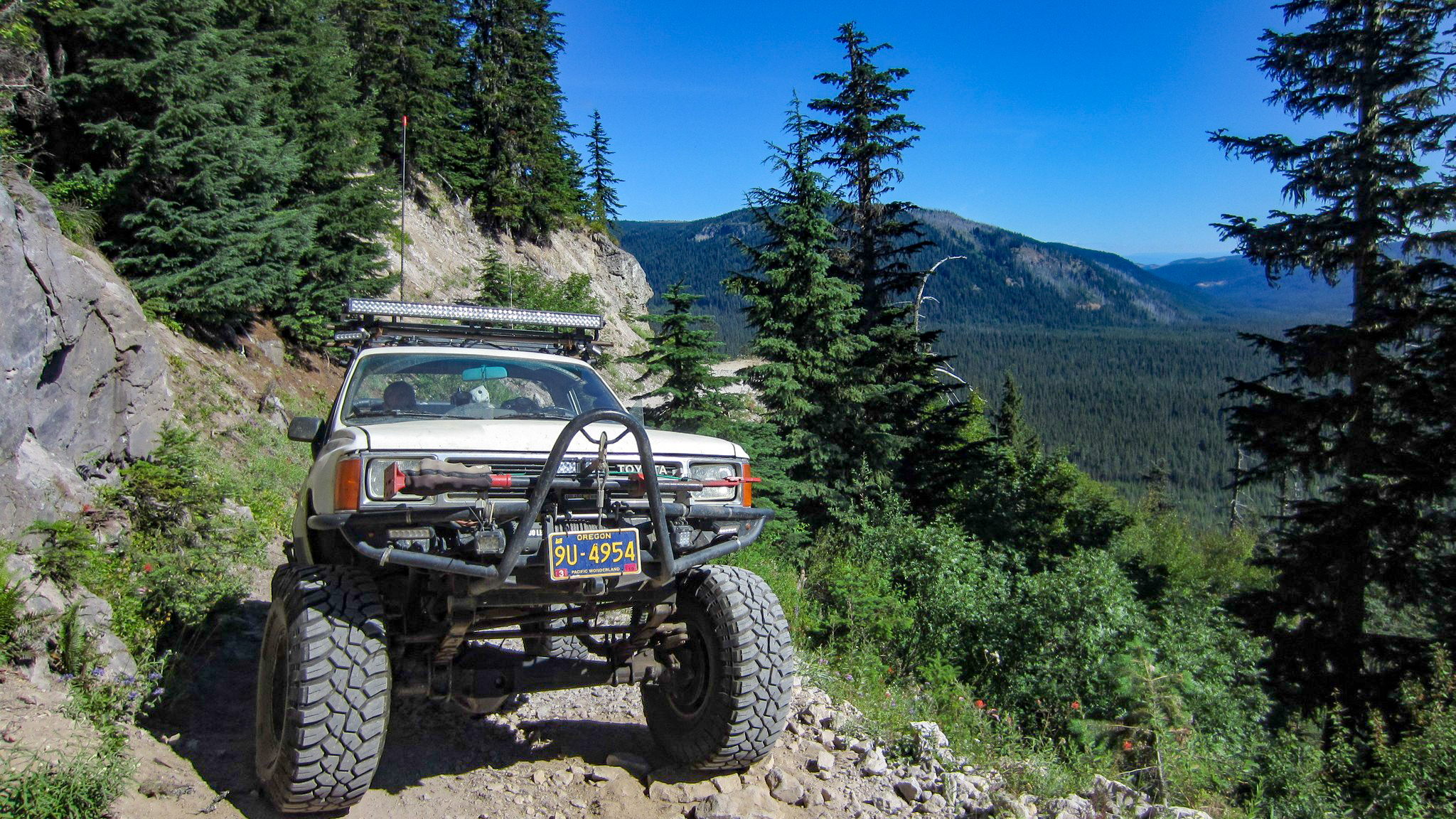
On very clear days, you can see from Mount Hood and Mount Adams to the north and all the way down south to the Three Sisters and maybe even Diamond Peak. Views to the east span hundreds of miles of high desert and the Oregon Outback.
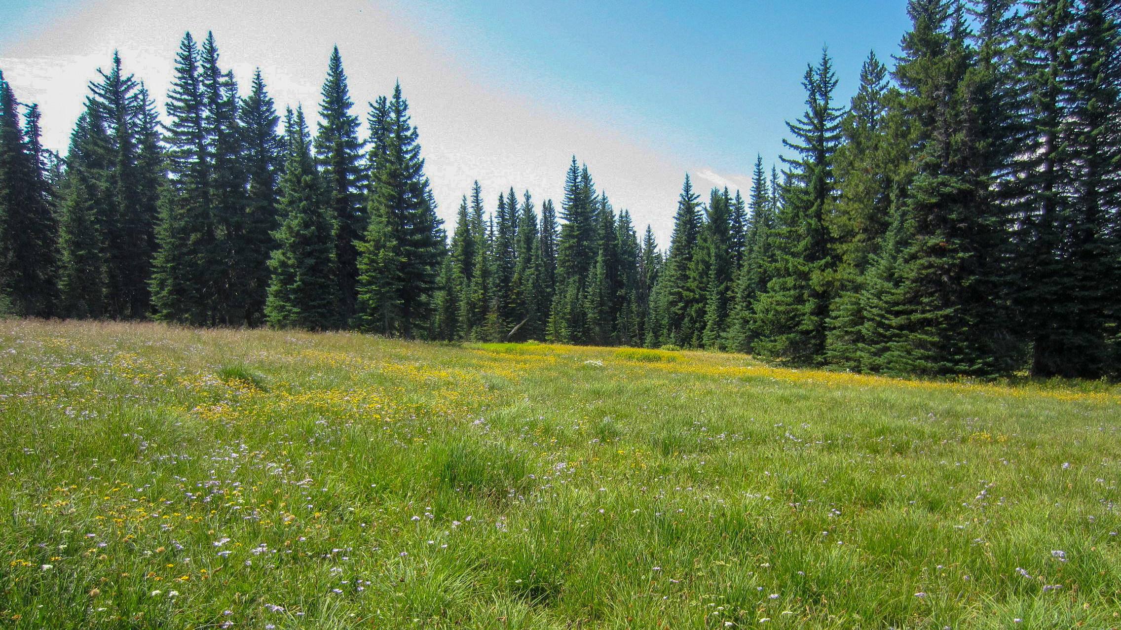
Trail 2 – Cold Springs Road: Alpine meadows
Time required: 30 minutes (turn onto 2730-230 Road at Waypoint 4)
Cold Springs Road runs through lush meadows full of wildflowers and butterflies during the summer months (July-September). Small wet springs in the forest produce vibrant bursts of wildflowers under the shade of the forest canopy. The ample dispersed camping along Cold Springs Road never fills up even on the busiest of weekends.
Trail 3 – 2730-230 and 2730 Roads: Romping east
Time required: 1 hour
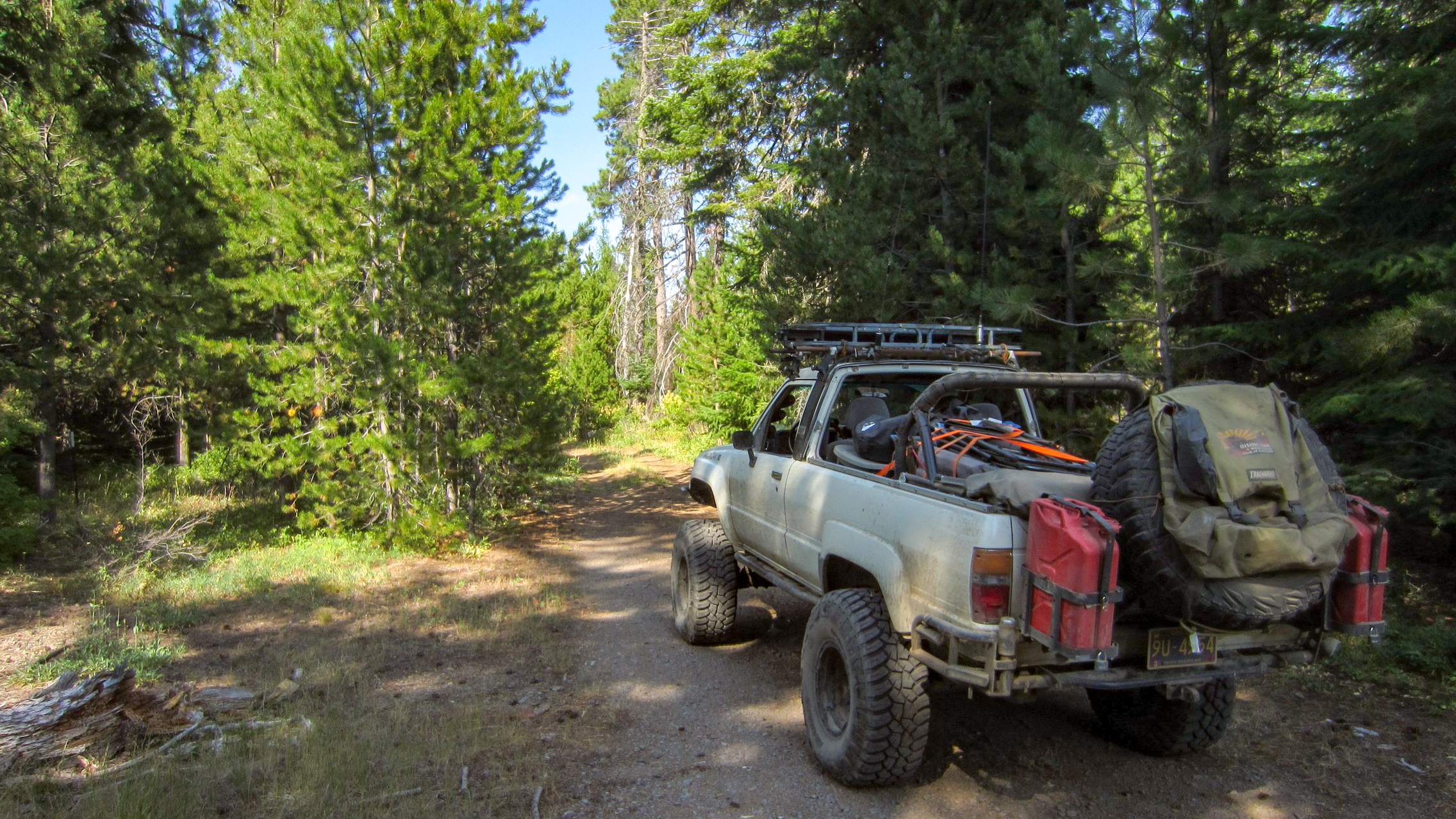
One can be forgiven for feeling as if an exciting adventure is close at hand while wheeling down the 2730-230 Road. A rough dirt track snakes through mixed stands of second growth, old growth, and clearcut timber. In the dry summer months, clouds of billowing dust give the distinct impression that this road leads to somewhere important and special.
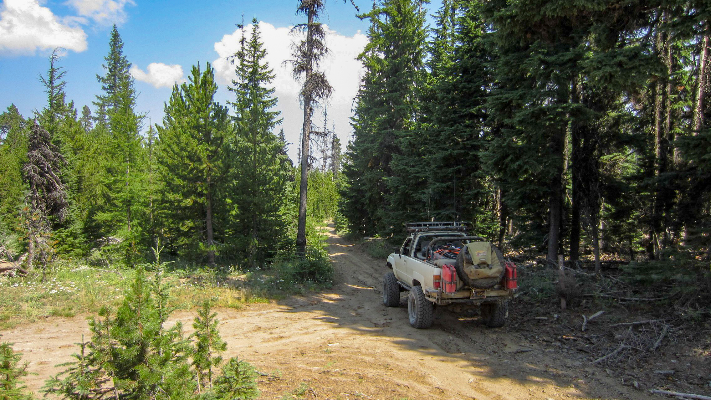
Alas, the end of 2730-230 comes in the form of the smooth blacktop ribbon of 2730. The 2730 Road continues through big stands of timber as it curls around the ridge below Flag Point Lookout on the way to the small village of Friend.
Optional Trail 4 – Flag Point Lookout Road: Visit a working fire lookout!
Time required: 1 hour (allow 1-2 hours for exploring the lookout and hiking the surrounding area)
An hour-long diversion from the main route takes intrepid pioneers offroading up to the Flag Point Lookout that is operated every summer by the US Forest Service. Sweeping views of Mount Hood, the Badger Creek Wilderness, Central Oregon, and the Cascade range from Mount Adams to The Three Sisters await visitors to Flag Point Lookout Road.
The Forest Service fire lookout is staffed during summer months and, if official duties don’t take prescience, the lookout staff often invite people up into the lookout tower. A short hike from the lookout to the helipad provides breathtaking views of Badger Creek Basin, The Palisades, and Mount Hood.
Trail 5 – 2730-190 Road: Entering the rain shadow of the Cascades
Time required: 30 minutes
As the 2730-130 Road descends through the forest, the trees begin their slow transformation from alpine species into scrub oak and ponderosa pine. This 4×4 trail marks the transition from the Cascades full of lush, dense coniferous forests into the dry, open savanna and grasslands of Central Oregon. The road skirts along the south side of the Mount Hood National Recreation Area Fifteen Mile Unit where a deep canyon lays waiting to be discovered by those who hike beyond the trees. An abandoned campground at the terminus of the 2730-130 Road gives the whole route an eerie, forgotten feeling that adds to the mystery of the transition of ecosystems on the way to the Central Oregon desert.
Trail 6 – Springer Ridge Road: Leaving the rain behind and entering the desert
Time required: 30 minutes
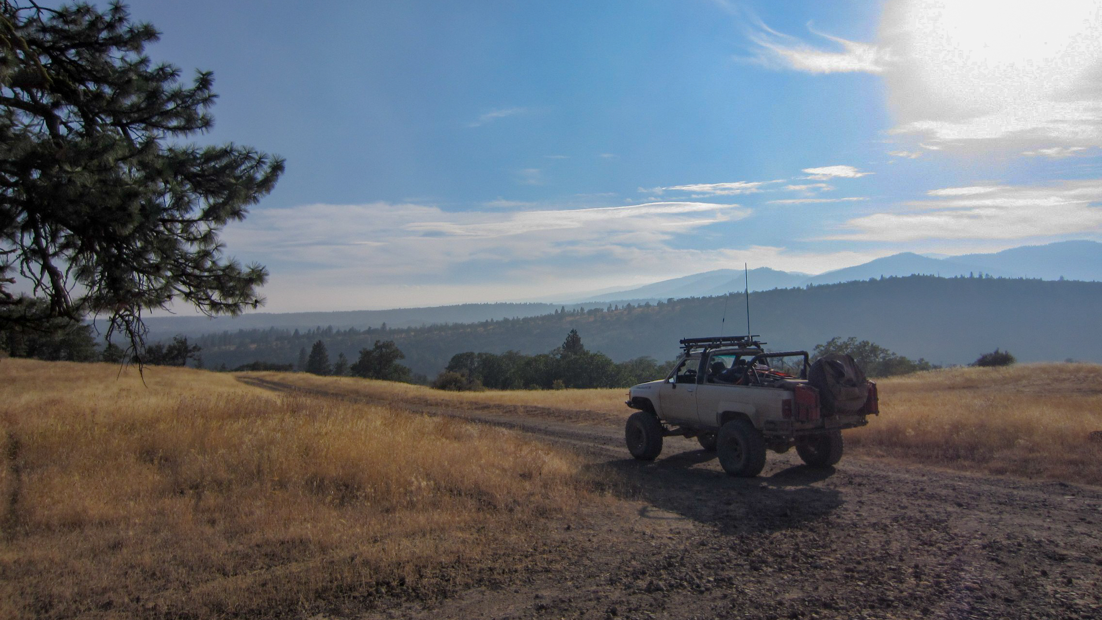
The story of Springer Mountain Road is one of transition and transformation, of rain and sun, and of the many varied ecosystems of the eastern slope of the Oregon Cascades. The metamorphosis from alpine forest to scrub oak and savanna that started on the 2730-190 road continues in earnest on Springer Mountain Road culminating in wide-open oak savanna at the end of the off-road trail. The first tendrils of deep powdery dust reminiscent of the famed Australian Outback bulldust begin on the lower reaches of Springer Mountain Road and continue onto the connecting Shell Rock Road. Rumors of a hidden waterfall lurking on private land and a rock climbing paradise in the Mount Hood National Recreation Area Fifteenmile Unit bring many adventurers to Springer Mountain Road; the adventure of heading east from the crest of the Cascades to the deserts of Central Oregon lures in many off-road enthusiasts to explore this offroad trail.
Trail 7 – Shell Rock Road: A bulldust adventure
Time required: 30 minutes
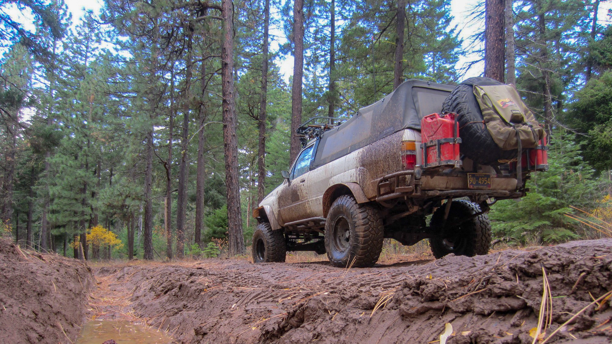
The oak savanna on the eastern ramparts of the Oregon Cascades at the edge of the Central Oregon desert marks the final transition from the wet, fertile valleys and lush, dense forests of the western third of the state into the arid interior; Shell Rock Road bisects the oak savanna on its way to the desert further to the east. The often parched condition of the land along Shell Rock Road creates the right environment for thick, powdery dust reminiscent of the famed Australian “bulldust” to form along long swaths of the road where billowing clouds of dust are the norm during the long dry summer. During the spring when the ground is moist and the grass is green, the thick dust can turn to thick mud. In the winter, the area can be blanketed with snowmaking Shell Rock Road difficult to find and potentially impossible to pass. The dynamic and changing landscape along Shell Rock Road is a wonderful place to experience a small slice of central Oregon.
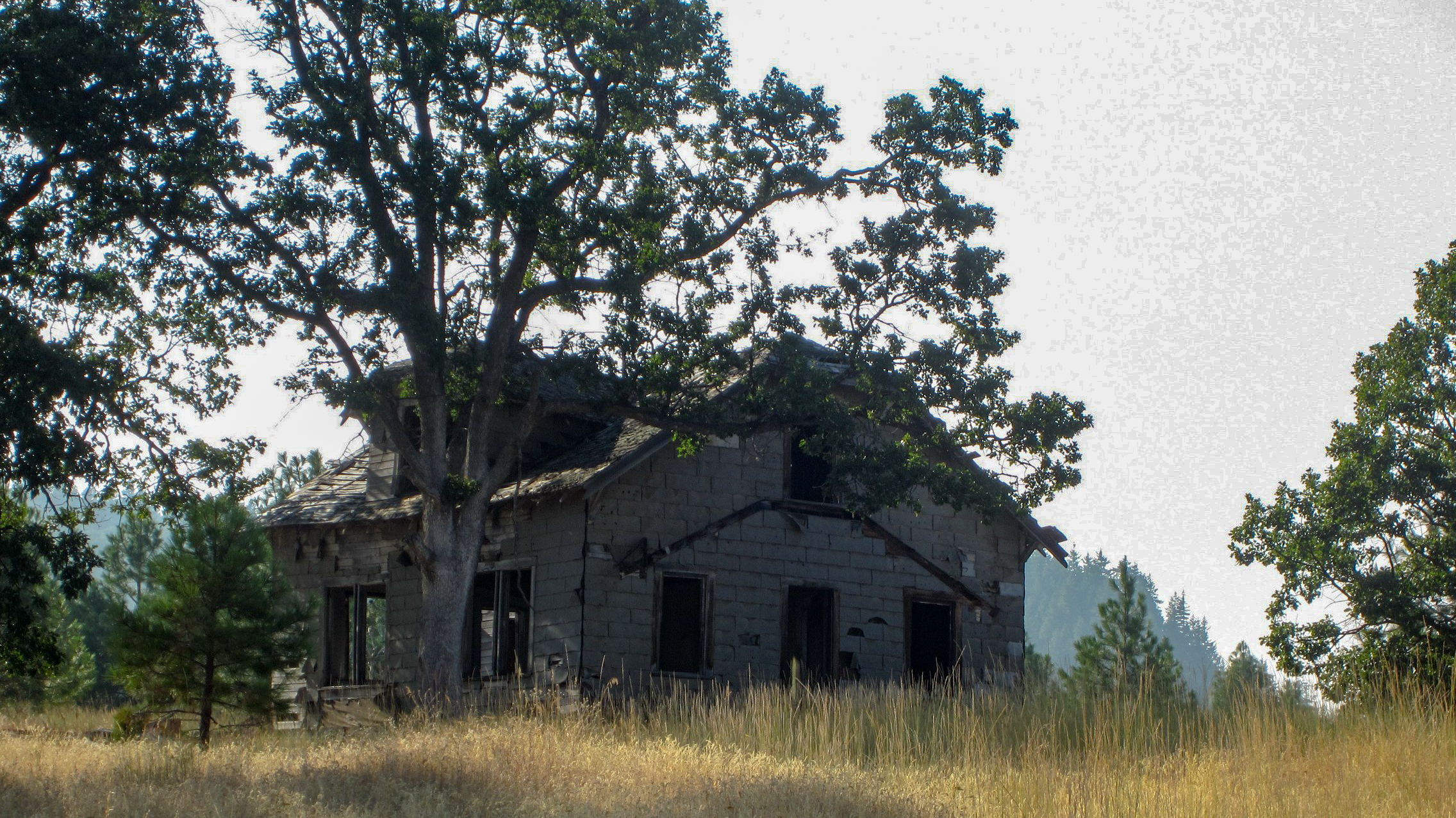
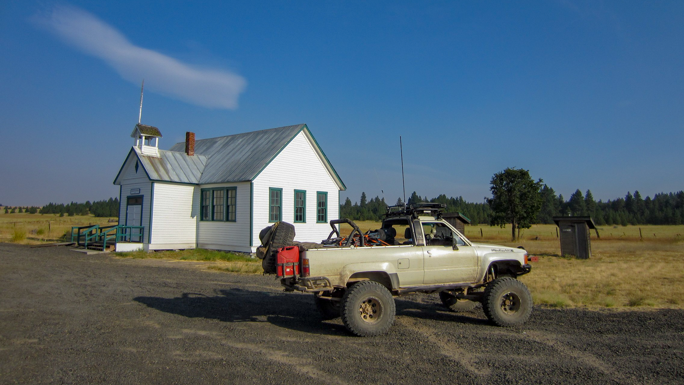
After the end of the Shell Rock Road trail, overlanders will continue due east on the well-maintained gravel road. Turn right onto Heberlein Road. Heberlein Road ends at the former site of the town of Friend where the old Friend School and community center is located. Be sure to visit the school before continuing onto the next trail.
Trail 8– Clark Mill Road and Tygh Valley Road: Oak savanna and a hidden waterfall
Time required: 2 hours (allow 1-2 extra hours if hiking to the hidden waterfall)
The combined trail of Clark Mill Road and Tygh Creek Road begins at the old two-room schoolhouse in the community of Friend, Oregon in the middle of rolling fields of wheat and hay. Mount Hood looms on the horizon to the west where the mountain’s snow-pack helps to provide water to the entire region. The 4WD trail passes through oak savanna and grasslands with big views to the south of Central Oregon before plunging into the beginning of the canyon that hides Jordan Creek. A hidden waterfall waits to be discovered at Waypoint 5 where an old mill once stood before the trail continues down along the rim of the canyon. Near where Jordan Creek and Tygh Creek meet, the wheeling trail plunges into the canyon where fallow farm fields are tucked away between gnarled old cottonwood trees. A shallow stream crossing just before the end of the trail at Waypoint 6 helps to wash the dirt off of tires before the Clark Mill Road and Tygh Creek Road trail comes to an end at the blacktop outside of Tygh Valley, Oregon.
At the end of Clark Mill Road and Tygh Valley Road, turn left onto Shadybrook Road. Follow the pavement about a mile and then turn right onto Fairgrounds Road. Follow Fairgrounds Road past the fairgrounds and into the town of Tygh Valley. There is a gas station here that is generally open during business hours although may not always be open. Turn right onto Wamic Market Road and follow the road through the town of Wamic.
Modern-day pioneers are now faced with two options to start heading west on the Barlow Trail toward the Willamette Valley. Option 1 starts about one mile due south from Wamic. Head south on Smock Road to where the pavement ends and the trail of Smock Road begins. Option 2 opens up two possible paths to the Barlow Trail. For either path, head west out of Wamic on Wamic Market Road. The road changes names to Barlow Road/NF-48 after four miles but continues on in a westward direction. Three miles beyond the Rock Creek Dam and Rock Creek OHV Area is where Old Tractor Road begins. Bug Road (Option 2b) starts at the second waypoint of Old Tractor Road.
Option 1 – Trail 9 – Smock Road: Scrub oak, prairies, and farmland oh my!
Time required: 30 minutes
Smock Road winds through farm and ranch country, through a creek bottom choked with scrub oak, and across a prairie. At the end of Smock Road, keep heading west onto the Barlow Trail to retrace the wagon ruts of the pioneers on the way to the Willamette Valley during the days of the Oregon Trail.
Option 2a – Trail 10 – Old Tractor Road: The road lives up to its name
Time required: 25 minutes
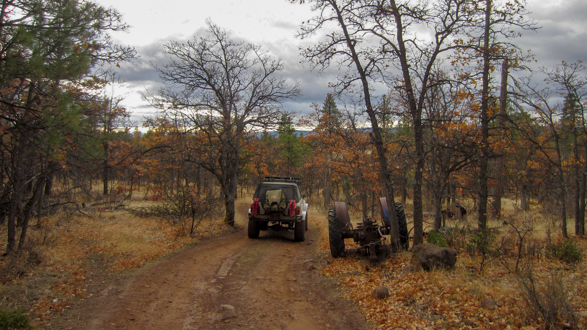
Old Tractor Road connects from NF-48 (Barlow Road) down to the Barlow Trail where pioneer wagons once plodded along on their way west toward the promised land of the Willamette Valley during the Oregon Trail days. A mixed scrub oak and pine forest gives way to the open prairies of Central Oregon just after adventurous travelers pass an old abandoned tractor that gives this overlanding trail its name. While there are other more extreme 4WD trails in the immediate area to connect to the Barlow Trail, Old Tractor Road is a mellow, scenic, and fun way to follow in the footsteps of the wagon trains of the 1840s through 1880s.
Option 2b – Trail 11 – Bug Road: When it’s wet, this is only for the adventurous
Time required: 20 minutes
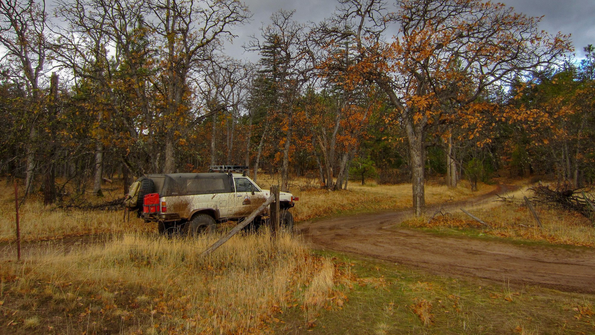
Bug Road is a tale of two seasons: the wet and the dry. During the dry season, the road is a fun, easy path to get from Waypoint 2 of Old Tractor Road to Barlow Trail (NF-3530) where pioneer wagons once rolled and where overlanders now drive their trucks to recreate the pioneer days. During the wet season, Bug Road becomes a muddy morass of deep water-filled holes and mud pits that can swallow up a stock vehicle. Only the adventurous with built rigs, relocated air intakes, sealed electrical systems, and a pioneer’s spirit should attempt Bug Road when the holes are full of water and the road goes from a mild overlanding trail to a wild wheeling trail.
Those who explore Bug Road will find the trail winding its way through mixed pine and scrub oak forest, and patchy grasslands away from the busy pavement of NF-48 nearby. Hunters often come to this area to hunt for deer and elk while birders use Bug Road to access the White River Wildlife Refuge to hunt rare birds with their cameras. In the spring, the sweet young grass toward the end of the 4WD trail blows in great swirls the afternoon breeze. In the fall, the oak leaves turn brilliant shades of red and orange before the onslaught of winter snows. While the offroad trail is short, it is fun regardless of the season and well worth the time to visit.
Trail 12 – Barlow Trail: Drive in the wagon ruts of the pioneers
Time required: 3 to 4 hours
Anyone who played Oregon Trail or Oregon Trail 2 (popular educational video games in the late 80s and 90s) in grade school remembers the Barlow Road route to Oregon City and the promised land of the Willamette Valley. When the pioneers came to The Dalles, they either chose the water route down the rapids of the Columbia River long before the dams were built or they turned south along the eastern flank of the Cascades to head over the mountains on the Barlow Road. Avid players of the Oregon Trail games most certainly remember the perils of going down the rapids where many lives were lost over the period of mass migration along the Oregon Trail. The Barlow Road route was not without its perils, especially early in the fall when snowstorms could move in with little warning, covering the pass in a thick blanket of cold, wet snow. Many pioneers found it to be the most difficult 100 mile stretch of trail from Nebraska to Oregon.
Construction of the Barlow Road was authorized in December 1845 by the Provisional Legislature of Oregon. Sam Barlow, who had scouted the route with a party of several wagons earlier in 1845, got to work in the spring of 1846 clearing timber and building the first crude track through the dense old-growth forests on the southern flanks of Mount Hood. Sam Barlow and his business partners only operated the toll road for two years before the toll concession passed into a succession of other hands.
Today the segment of the Barlow Road between the eastern edge of the forests and Barlow Pass is now known as Barlow Trail (NF-3530) and is open to 4x4ers, overlanders, wheelers, and those with an adventurous spirit. Barlow Trail begins at the edge of the prairies and oak scrublands of Central Oregon before heading into a dense forest of Ponderosa Pines. The pine trees give way to Douglas Firs, Western Larch, and other alpine species of fir, alders, and even a few aspen trees before reaching Barlow Pass on the crest of the Cascades.
Once you reach the end of the Barlow Trail and the beginning of the pavement, turn right to return to Oregon Highway 36. Government Camp is only a few miles to the east and the Hood River Valley is a few miles to the northwest.

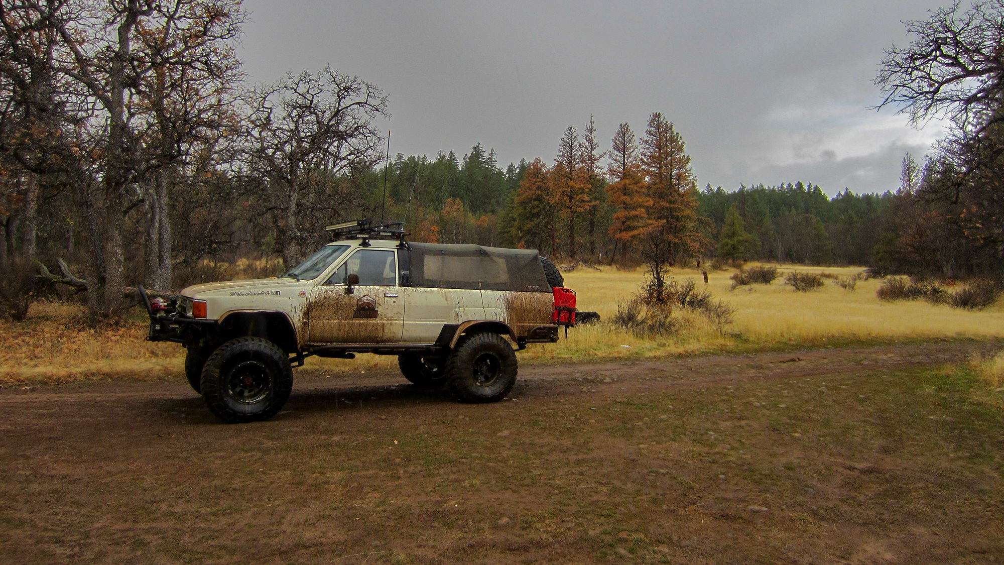
Douglas grew up riding in the back of pickups in Oregon and California. He comes from a long line of overlanders and adventurers dating back to the Mayflower and the Oregon Trail. During a stint working in Colorado, Douglas fell in love with the offroad scene and immediately gravitated toward the Toyota crowd. His current build is the Albino Rhino, a 1986 Toyota 4runner ready for any adventure, anywhere, at any time. During the week, Douglas works on systems engineering and architecture problems in California. Douglas also enjoys backpacking, especially in the central Sierras in California, scuba diving along the Oregon and California coasts, and riding his motorcycle on the Pacific Coast Highway. Most weeknights, you can find Douglas under his truck in the driveway performing maintenance or fixing the latest trail damage.

Community
Partners