
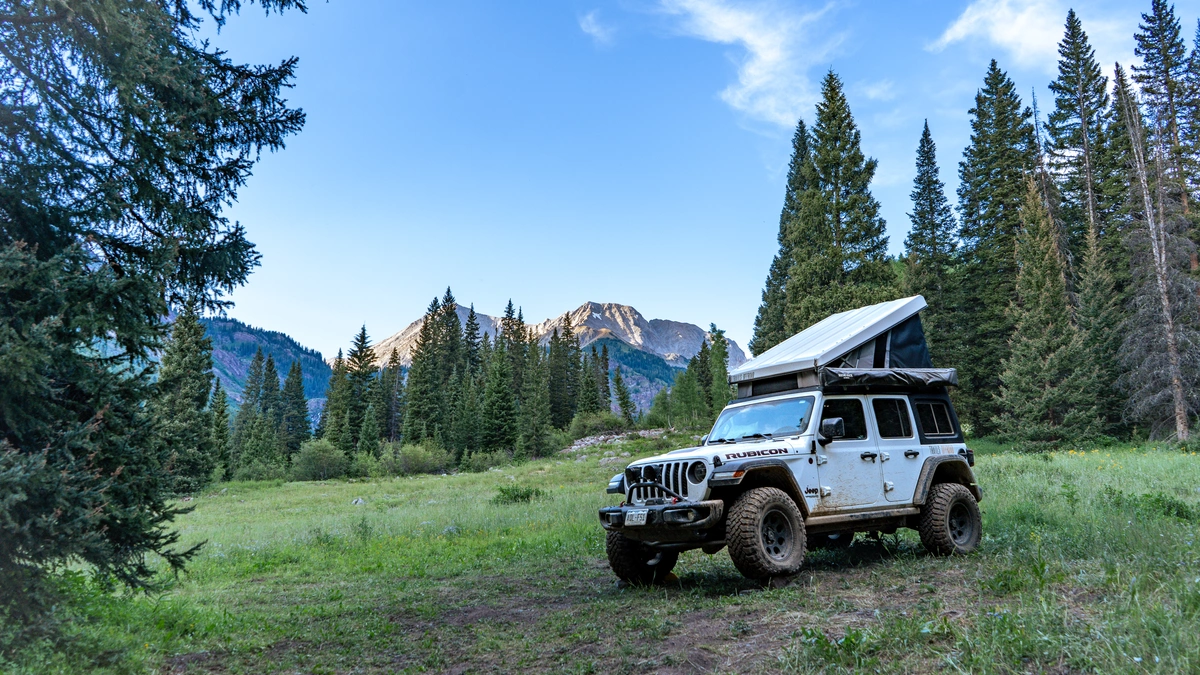
6 Off-Road Trails Near Overland Expo West 2025 in Flagstaff, Arizona
Planning your trip to Overland Expo West 2025? These beginner-friendly off-road trails near Flagstaff, Arizona are perfect for exploring before or after the event. Whether you're driving a stock 4x4, an overland build, or just looking for a scenic drive, these routes offer a great mix of adventure and accessibility.
This year’s event takes place May 16–18 at Fort Tuthill County Park in Flagstaff—an ideal basecamp surrounded by public lands and trail networks just waiting to be explored.
Whether you’re arriving early, extending your trip, or looking for a nearby campsite, the trails around Flagstaff offer something for every experience level.
Check out six of the most popular off-road trails near Flagstaff—many just minutes from the Overland Expo grounds.
Tips for Off-Roading Near Flagstaff
Before you hit the trails near Flagstaff, here are a few essential tips to help you explore responsibly and safely.
- Download offline maps – Cell service can be spotty outside Flagstaff so always remember to download your offline maps. With Trails Offroad, you can easily download the offline map, and use our different navigation modes directly in the app.
- Check for fire restrictions and closures – Arizona’s forests can be prone to wildfire risks, so always check for updates from the Forest Service or BLM before heading out. You can also find closure information right in the Trails Offroad app, if you are a member.
- Pack out what you pack in – Always leave no trace—help keep these lands pristine for future adventurers.
- Tell someone your plan – Even if you're just heading out for a quick trail run, always share your route with someone.
- Review the Trail – Once you finish up the trail make sure to review it on Trails Offroad™!
Off-Roading in Public Lands near Flagstaff
Planning on heading to some of the most popular public lands around Flagstaff? Here’s what to know before you go:
- Tread Lightly: Stay on marked trails and avoid cutting switchbacks or creating bypasses—these areas are actively monitored for trail impact. Always follow Leave No Trace principles.
- Camping: Dispersed camping is allowed in many areas with a 14-day limit. Always camp at least 200 feet from water sources.
- Trail Etiquette: Yield to uphill traffic, keep speeds safe and moderate, and be prepared to stop for hikers, cyclists, or wildlife.
Off-Road Permits for Public Land near Flagstaff
Coconino National Forest: No day-use permit is required for most dispersed routes, but check for Red Rock Pass requirements in Sedona-adjacent zones.
Prescott National Forest: No permits required for most trails unless you’re camping at designated fee sites.
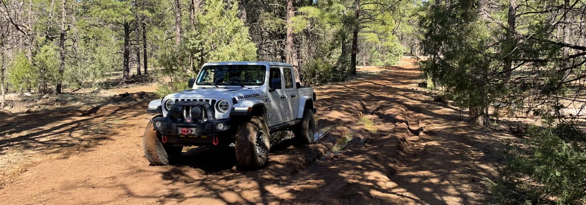
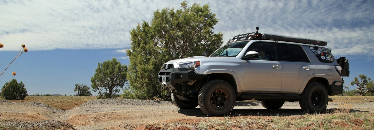
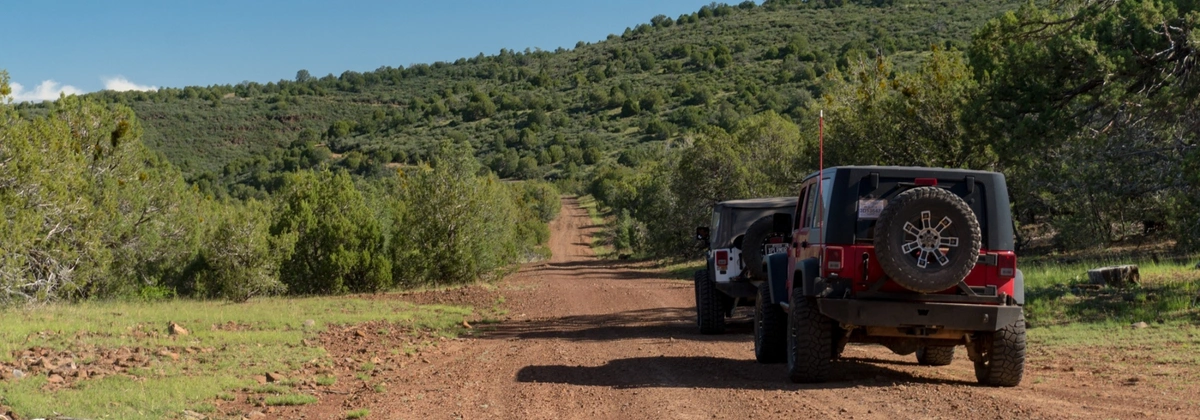
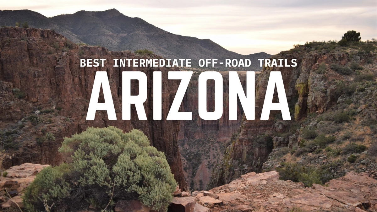
Top Trails Near Overland Expo West
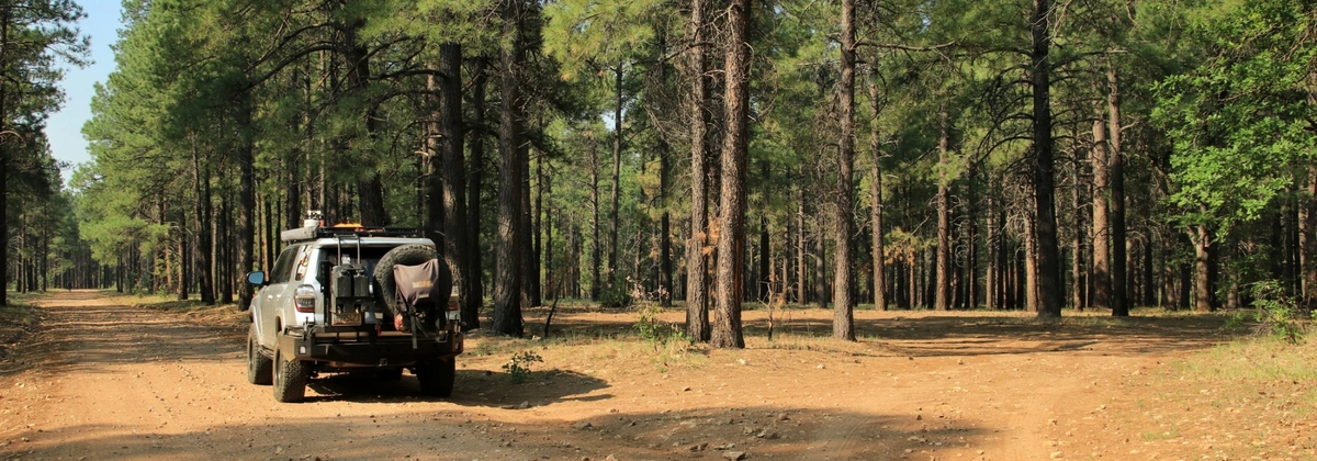
Woody Mountain Road - Kachina Village, AZ
Distance from Overland Expo West to Trailhead: 7 minutes
Woody Mountain Road is a 25-mile route that leads you through dense pine forest toward East Pocket (a.k.a. the “Edge of the World”), offering stunning views from the edge of the Mogollon Rim. It’s a popular spot for dispersed camping near Flagstaff.
This well-maintained forest road is mostly smooth with a few rutted sections, offering easy access to dispersed campsites—suitable for any high-clearance 2WD or AWD vehicle.
Fry Canyon Trail - Kachina Village, AZ
Distance from Overland Expo West to Trailhead: 5 minutes
Fry Canyon Trail winds through tall pines and open forest just east of I-17. The trail is short but offers several pull-off sites perfect for Flagstaff basecamp camping.
Expect a mix of packed dirt and light washboarding through shaded pine forest—an ideal beginner-friendly trail for stock SUVs or crossovers with clearance.
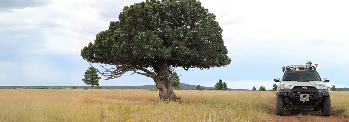
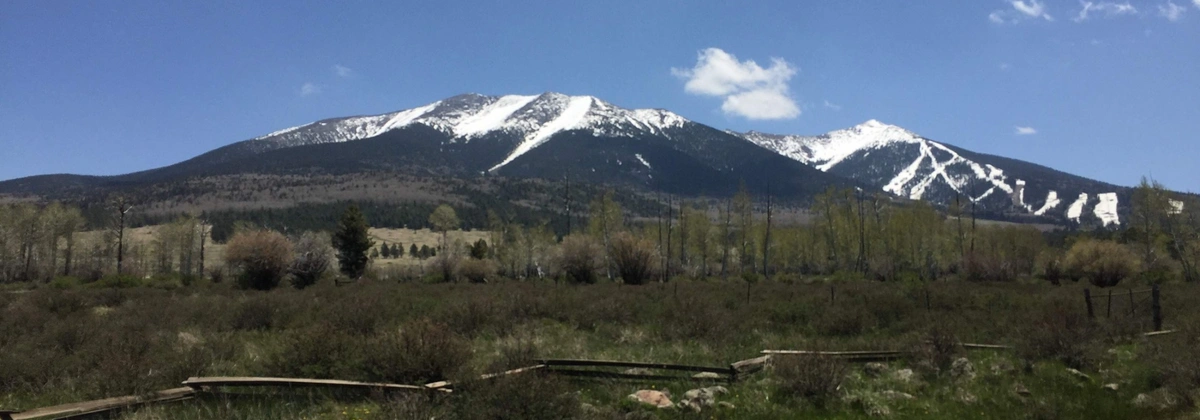
Hart Prairie - Flagstaff, AZ
Distance from Overland Expo West to Trailhead: 25 minutes
Part of the “Around the Peaks” scenic drive, Hart Prairie Road gives you views of the San Francisco Peaks, lush meadows, and golden aspen groves. It’s ideal for an afternoon cruise or a relaxing ride.
This scenic loop is mostly level with minor rocky patches, great for any high-clearance vehicle.
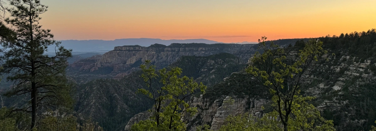
FR 301 to Fisher Point Trailhead - Flagstaff, AZ
Distance from Overland Expo West to Trailhead: 16 minutes
If you only have a couple of hours to explore, head to FR 301. It’s a short forest road with a rewarding end point: Fisher Point Overlook, a quick hike with a great view of Walnut Canyon.
This trail is best tackled by a high-clearance AWD or 4WD vehicle—especially if you plan to explore further past the trailhead.
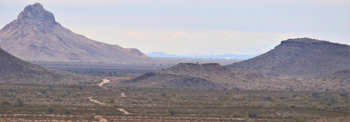
Sycamore Point - Williams, AZ
Distance from Overland Expo West to Trailhead: 47 minutes
For an easygoing drive with a scenic payoff, head toward Sycamore Point. This trail is part of the Kaibab National Forest system and ends at a stunning canyon overlook.
The road is mostly flat and easy with occasional rocky spots, making it accessible to most high-clearance vehicles and great for a mellow day trip.
Perkinsville Old 354 Road - Williams, AZ
Distance from Overland Expo West to Trailhead: 1 hour and 13 minutes
If you’re looking to get away from it all, Perkinsville Road takes you deep into the Sycamore Canyon Wilderness. It’s a rocky, rewarding trail with remote camping near Flagstaff, wide-open views, and a real sense of solitude.
This rugged, remote route has rocky stretches, washouts, and narrow sections, making it best for experienced drivers in a 4WD vehicle with good tires and clearance.
Looking for even more Arizona trails? Check out the Trails Offroad app for detailed routes, reviews, and downloadable maps. And if you plan on tackling any of these trails, remember to leave a review and help others plan their trip!

Marie is a Washington State native who loves to explore the great outdoors with her partner and son. They typically explore in her 2021 4Runner out on trails but recently added a 2023 Tacoma to the build list. When she is not behind the wheel, Marie enjoys capturing moments with her camera, spending time with friends and family, and gardening! Marie is also the founder of PNW Overlanders, a local group in Washington that organizes trail rides and campouts across the state.

Community
Partners