
Toquerville Falls (36.19 miles away)
Toquerville, Utah

Summit Mountain Road works well as a link for travelers moving between the Panguitch Lake area and Brian Head, with the payoff being access to the Twisted Forest trailhead at the far end. The road is easy and stays within reach of a stock high clearance 2WD, and only a brief rocky stretch and a shallow stream crossing interrupt an otherwise straightforward dirt surface. Drivers looking for more of a challenge can detour onto an optional spur near the trailhead that steps up in difficulty before rejoining the main route.
Camping is dispersed and spread across several clusters along the corridor, adding up to roughly a dozen informal spots in all. Sizes and settings vary widely, from single vehicle pull-offs near the road to a couple of sites tucked slightly off the corridor among trees, where both shade and a measure of privacy can be found. Open areas closer to the road tend to lack cover, so those wanting more seclusion should look toward the tree-shielded spots farther along the route.
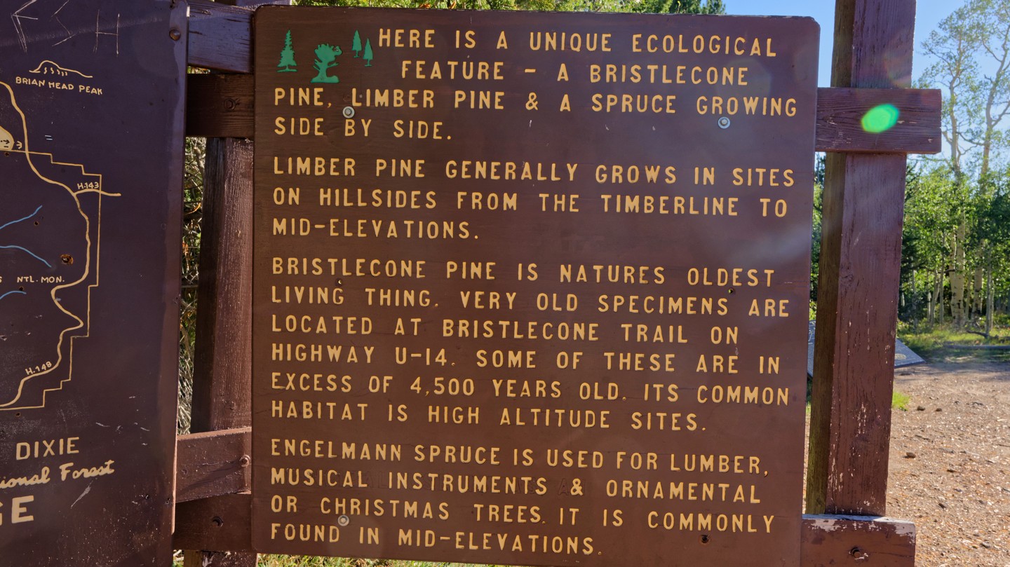
The road briefly crosses private land partway through, where staying on the established road is required. Portions of the corridor burned during the 2017 Brian Head Fire, and aspen regrowth marks where the blaze moved across Cedar Mountain. At its southern end, the road reaches the Twisted Forest trailhead, home to ancient bristlecone pines whose twisted shapes come from centuries of partial dieback sculpted by wind and weather.

