
The Barracks Trail (15.9 miles away)
Orderville, Utah
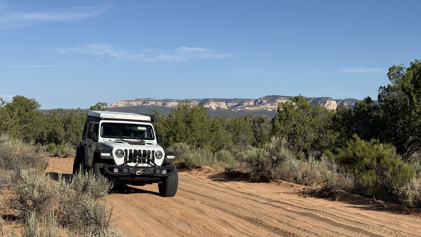

BLM 100 lies within the BLM Kanab Field Office management area and generally runs east to west, connecting Highway 89 with Johnson Canyon Road while intersecting numerous other BLM roads along the way. In dry conditions, the route is suitable for most AWD and 4WD vehicles, but sections can quickly become impassable when wet.
To reach the western end of the road, you will enter via Kanab Canyon Road and the famed Best Friends Animal Society, where you will pass an elaborate pet memorial cemetery. Before officially turning onto BLM 100, a couple of spur roads lead toward Native American ruins located on private property.
Once on BLM-managed land, the road surface becomes a mix of sand and severe washboarding. The washboarding continues through roughly the first half of the route before gradually improving toward the eastern end. Near Johnson Canyon Road, a drainage crossing can develop extremely soft, sticky mud. Although the muddy section may be only about 30 feet from the end of the route, it could become a serious problem, especially when traveling alone.
BLM 100 is not a route for dramatic rock walls or major formations, but it offers a pleasant drive through pinyon-juniper woodlands and broad sagebrush flats.
A few good dispersed campsites can be found along the eastern half of the route, but overall BLM 100 is not particularly well suited for camping.

