
Mary Ellen Gulch (73.93 miles away)
Alpine, Utah
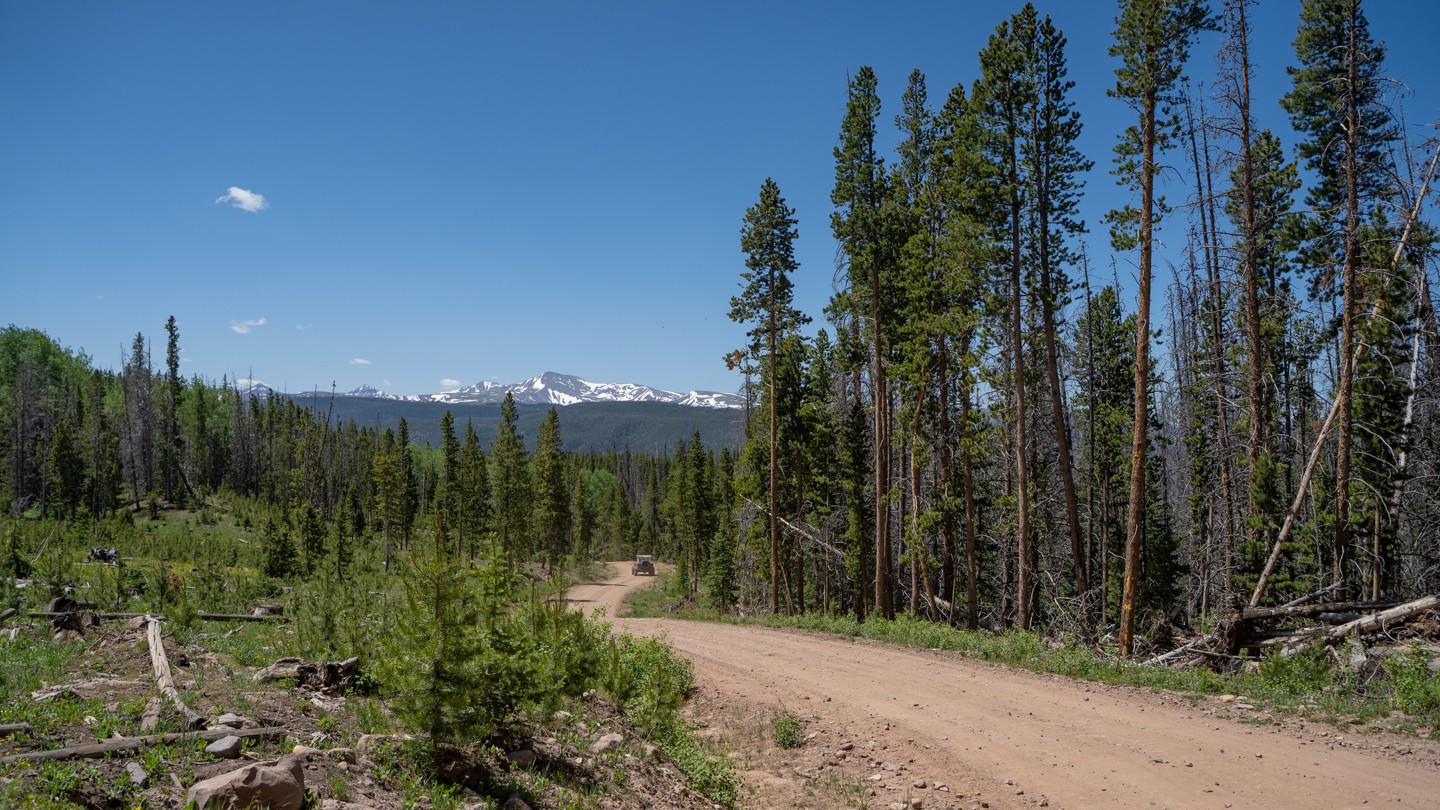

Red Mountain (FS017) is a scenic, high-country trail linking China Meadows to Henry’s Fork along the north–south corridor of the High Uintas. Winding through small aspen groves, open meadows, and stretches of lodgepole pine, the route climbs to just above 9,500 feet in elevation. The surface is graded dirt throughout, making it approachable for almost any high-clearance two-wheel-drive vehicle. Anglers and campers often use this trail, as it provides access to dispersed campsites and the many lakes scattered across the region.
Driving the maintained roads across the High Uintas region requires little off-road experience. Newcomers will find the terrain of Red Mountain forgiving, with gentle climbs and broad curves. However, conditions vary with the seasons: snow usually renders the route impassable in winter, leaving it to snowmobilers until the thaw. By summer, the corridor becomes popular on weekends, when traffic picks up, and it is common to share the area with 4WD vehicles, camper trailers, and ATV/UTV drivers.
A highlight for many is crossing the state line, clearly marked by wooden posts reading “Utah” and “Wyoming.” Drive by too fast and you might miss it!
Whether you’re aiming for an easy point-to-point connection or just looking for a quiet campsite in the trees, Red Mountain delivers a laid-back, accessible mountain drive.